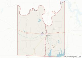
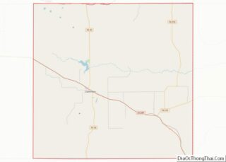
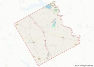
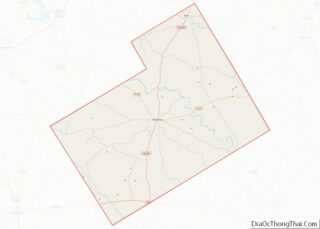
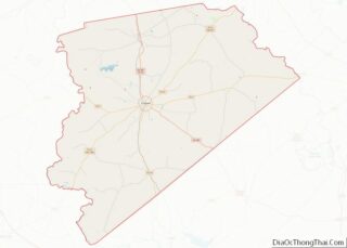
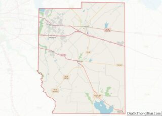
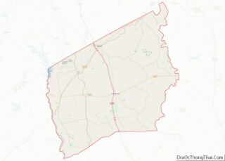
Map of Cameron Parish, Louisiana
Cameron Parish (French: Paroisse de Cameron) is a parish in the southwest corner of the U.S. state of Louisiana. As of the 2020 census, the population was 5,617. The parish seat is Cameron. Although it is the largest parish by area in Louisiana, it has the second-smallest population in the state, ahead of only Tensas. ... Read more
Map of Cameron Parish, Louisiana
Map of LaSalle Parish, Louisiana
LaSalle Parish overview: Name: LaSalle Parish FIPS code: 22-059 State: Louisiana Founded: January 1, 1910 Named for: René-Robert Cavelier, Sieur de La Salle Seat: Jena Total Area: 1,710 km² (662 sq mi) Land Area: 1,620 km² (625 sq mi) Total Population: 14,791 Population Density: 8.6/km² (22/sq mi) Time zone: UTC-6 (CST) Summer Time Zone (DST): UTC-5 (CDT) LaSalle Parish location map. Where ... Read more
Map of LaSalle Parish, Louisiana
Map of St. Bernard Parish, Louisiana
St. Bernard Parish (French: Paroisse de Saint-Bernard; Spanish: Parroquia de San Bernardo) is a parish in the U.S. state of Louisiana. The parish seat and largest community is Chalmette. The parish was formed in 1807. St. Bernard Parish is part of the New Orleans–Metairie metropolitan statistical area; the parish is located southeast of the city ... Read more
Map of St. Bernard Parish, Louisiana
Map of Webster Parish, Louisiana
Webster Parish (French: Paroisse de Webster) is a parish located in the northwestern section of the U.S. state of Louisiana. The seat of the parish is Minden. As of the 2020 census, the Webster Parish population was 36,967. Public officials who have long sought to increase the industrial potential of the parish, expressed concern over ... Read more
Map of Webster Parish, Louisiana
Map of Sagadahoc County, Maine
Sagadahoc County (/ˈsæɡədəˌhɒk/ SAG-ə-də-hok) is a county located in the U.S. state of Maine. As of the 2020 census, the population was 36,699. Its county seat is Bath. In geographic area, it is the smallest county in Maine. Sagadahoc County is part of the Portland–South Portland, ME Metropolitan Statistical Area. Sagadahoc County overview: Name: Sagadahoc ... Read more
Map of Sagadahoc County, Maine
Map of Harford County, Maryland
Harford County is located in the U.S. state of Maryland. As of the 2020 census, the population was 260,924. Its county seat is Bel Air. Harford County is included in the Baltimore-Columbia-Towson, MD Metropolitan Statistical Area, which is also included in the Washington-Baltimore-Arlington, DC-MD-VA-WV-PA Combined Statistical Area. Harford County overview: Name: Harford County FIPS code: ... Read more
Map of Harford County, Maryland
Map of Essex County, Massachusetts
Essex County is a county in the northeastern part of the U.S. state of Massachusetts. At the 2020 census, the total population was 809,829, making it the third-most populous county in the state, and the eightieth-most populous in the country. It is part of the Greater Boston area (the Boston–Cambridge–Newton, MA–NH Metropolitan Statistical Area). The ... Read more
Map of Essex County, Massachusetts
Map of Baraga County, Michigan
Baraga County (/ˈbɛərəɡə/ BAIR-ə-gə) is a county in the Upper Peninsula in the U.S. state of Michigan. As of the 2020 Census, the population was 8,158, making it Michigan’s fifth-least populous county. The county seat is L’Anse. The county is named after Bishop Frederic Baraga, a Catholic missionary who ministered to the Ojibwa Indians in ... Read more
Map of Baraga County, Michigan
Map of Eaton County, Michigan
Eaton County is a county in the U.S. state of Michigan. As of the 2020 United States Census, the population was 109,175. The county seat is Charlotte. The county was organized in 1837 and was named for John Eaton, who was Secretary of War under U.S. President Andrew Jackson, making it one of Michigan’s Cabinet ... Read more
Map of Eaton County, Michigan
Map of Kalamazoo County, Michigan
Kalamazoo County (/ˌkæləməˈzuː/ KAL-ə-mə-ZOO) is a county located in the U.S. state of Michigan. As of 2020, the population was 261,670. The county seat is Kalamazoo. Kalamazoo County is included in the Kalamazoo–Portage, MI Metropolitan Statistical Area. Kalamazoo County overview: Name: Kalamazoo County FIPS code: 26-077 State: Michigan Founded: May 7, 1830 Seat: Kalamazoo Largest ... Read more
Map of Kalamazoo County, Michigan
Map of Manistee County, Michigan
Manistee County (/mænɪsti/ man-iss-TEE) is a county located in the U.S. state of Michigan. As of the 2020 Census, the population was 25,032. The county seat is Manistee. The county is named for the Manistee River. Manistee County is part of Northern Michigan and has a shoreline on Lake Michigan. Manistee County overview: Name: Manistee ... Read more
Map of Manistee County, Michigan
Map of Osceola County, Michigan
Osceola County (/ˌɒsiˈoʊlə/ AH-see-OH-lə) is a county in the U.S. state of Michigan. As of the 2020 United States Census, the population was 22,891. The county seat is Reed City. Osceola County overview: Name: Osceola County FIPS code: 26-133 State: Michigan Founded: 1840 Named for: Osceola Seat: Reed City Largest city: Reed City Total Area: ... Read more
Map of Osceola County, Michigan