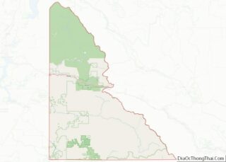
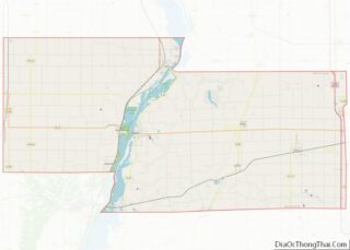
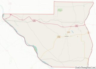
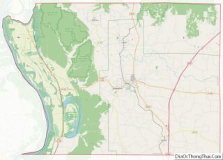
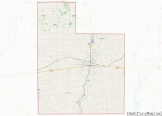
Map of Adair County, Oklahoma
Adair County is a county located in the U.S. state of Oklahoma. As of the 2010 census, the population was 22,286. Its county seat is Stilwell. Adair County was named after the Adair family of the Cherokee tribe. One source says that the county was specifically named for Watt Adair, one of the first Cherokees ... Read more
Map of Adair County, Oklahoma
Map of Cotton County, Oklahoma
Cotton County is a county located in the U.S. state of Oklahoma. As of the 2010 census, the population was 6,193. Its county seat is Walters. When Oklahoma achieved statehood in 1907, the area which is now Cotton County fell within the boundaries of Comanche County. It was split off in 1912, becoming the last ... Read more
Map of Cotton County, Oklahoma
Map of Jackson County, Oklahoma
Jackson County is a county located in the southwestern corner of the U.S. state of Oklahoma. As of the 2010 census, the population was 26,446. Its county seat is Altus. According to the Encyclopedia of Oklahoma History and Culture, the county was named for two historical figures: President Andrew Jackson and Confederate General Stonewall Jackson. ... Read more
Map of Jackson County, Oklahoma
Map of McIntosh County, Oklahoma
McIntosh County is a county located in the U.S. state of Oklahoma. As of the 2010 census, the population was 20,252. Its county seat is Eufaula. The county is named for an influential Muscogee Creek family, whose members led the migration of the Lower Towns to Indian Territory and served as leaders for generations. It ... Read more
Map of McIntosh County, Oklahoma
Map of Roger Mills County, Oklahoma
Roger Mills County is a county located in the western part of the U.S. state of Oklahoma. As of the 2010 census, the population was 3,647, making it the third-least populous county in Oklahoma. Its county seat is Cheyenne. The county was created in 1891. Roger Mills county is located above the petroleum-rich Panhandle-Hugoton Field, ... Read more
Map of Roger Mills County, Oklahoma
Map of Clatsop County, Oregon
Clatsop County overview: Name: Clatsop County FIPS code: 41-007 State: Oregon Founded: June 22, 1844 Named for: Clatsop Tribe Seat: Astoria Largest city: Astoria Total Area: 1,084 sq mi (2,810 km²) Land Area: 829 sq mi (2,150 km²) Total Population: 41,072 Population Density: 38/sq mi (15/km²) Website: www.co.clatsop.or.us Clatsop County location map. Where is Clatsop County? History The Lewis and Clark Expedition ... Read more
Map of Clatsop County, Oregon
Map of Lane County, Oregon
Lane County is one of the 36 counties in the U.S. state of Oregon. As of the 2020 census, the population was 382,971, making it the fourth-most populous county in Oregon. The county seat is Eugene. It is named in honor of Joseph Lane, Oregon’s first territorial governor. Lane County comprises the Eugene, OR Metropolitan ... Read more
Map of Lane County, Oregon
Map of Yamhill County, Oregon
Yamhill County is one of the 36 counties in the U.S. state of Oregon. As of the 2020 census, the population was 107,722. The county seat is McMinnville. Yamhill County was named after the Yamhelas, members of the Kalapuya Tribe. Yamhill County is part of the Portland–Vancouver–Hillsboro, OR-WA Metropolitan Statistical Area. It is in the ... Read more
Map of Yamhill County, Oregon
Map of Clarion County, Pennsylvania
Clarion County is a county in the Commonwealth of Pennsylvania. As of the 2020 census, the population was 37,241. Its county seat is Clarion. The county was formed on March 11, 1839, from parts of Venango and Armstrong counties. Clarion County is entirely defined as part of the Pittsburgh media market. Clarion County overview: Name: ... Read more
Map of Clarion County, Pennsylvania
Map of Indiana County, Pennsylvania
Indiana County is a county in the Commonwealth of Pennsylvania. It is located in the west central part of Pennsylvania. As of the 2020 census, the population was 83,246. Its county seat is Indiana. Indiana County comprises the Indiana, PA Micropolitan Statistical Area, which is also included in the Pittsburgh-New Castle-Weirton, PA-WV-OH Combined Statistical Area. ... Read more
Map of Indiana County, Pennsylvania
Map of Northampton County, Pennsylvania
Northampton County is a county in the Commonwealth of Pennsylvania. As of the 2020 census, the population was 312,951. Its county seat is Easton. The county was formed in 1752 from parts of Bucks County. Its namesake was the county of Northamptonshire in England, and the county seat of Easton was named for the country ... Read more
Map of Northampton County, Pennsylvania
Map of Wayne County, Pennsylvania
Wayne is a county in the Commonwealth of Pennsylvania. It is part of Northeastern Pennsylvania. The county’s population was 51,155 at the 2020 census. The county seat is the Borough of Honesdale. The county was formed from part of Northampton County on March 21, 1798, and was named for the Revolutionary War General Anthony Wayne. ... Read more
Map of Wayne County, Pennsylvania