Warren is a city in Warren County, Pennsylvania, United States, located along the Allegheny River. The population was 9,404 at the 2020 census. It is the county seat of Warren County. It is home to the headquarters of the Allegheny National Forest and the Cornplanter State Forest. It is also the headquarters for the Chief Cornplanter Council, the oldest continuously chartered Boy Scouts of America Council, and the catalog company Blair. Warren is the principal city of the Warren, PA Micropolitan Statistical Area.
| Name: | Warren city |
|---|---|
| LSAD Code: | 25 |
| LSAD Description: | city (suffix) |
| State: | Pennsylvania |
| County: | Warren County |
| Founded: | 1795 |
| Elevation: | 1,210 ft (370 m) |
| Total Area: | 3.09 sq mi (8.00 km²) |
| Land Area: | 2.91 sq mi (7.54 km²) |
| Water Area: | 0.18 sq mi (0.46 km²) |
| Total Population: | 9,710 |
| Population Density: | 3,108.55/sq mi (1,200.27/km²) |
| ZIP code: | 16365 |
| Area code: | 814 |
| FIPS code: | 4281000 |
| Website: | www.cityofwarrenpa.org |
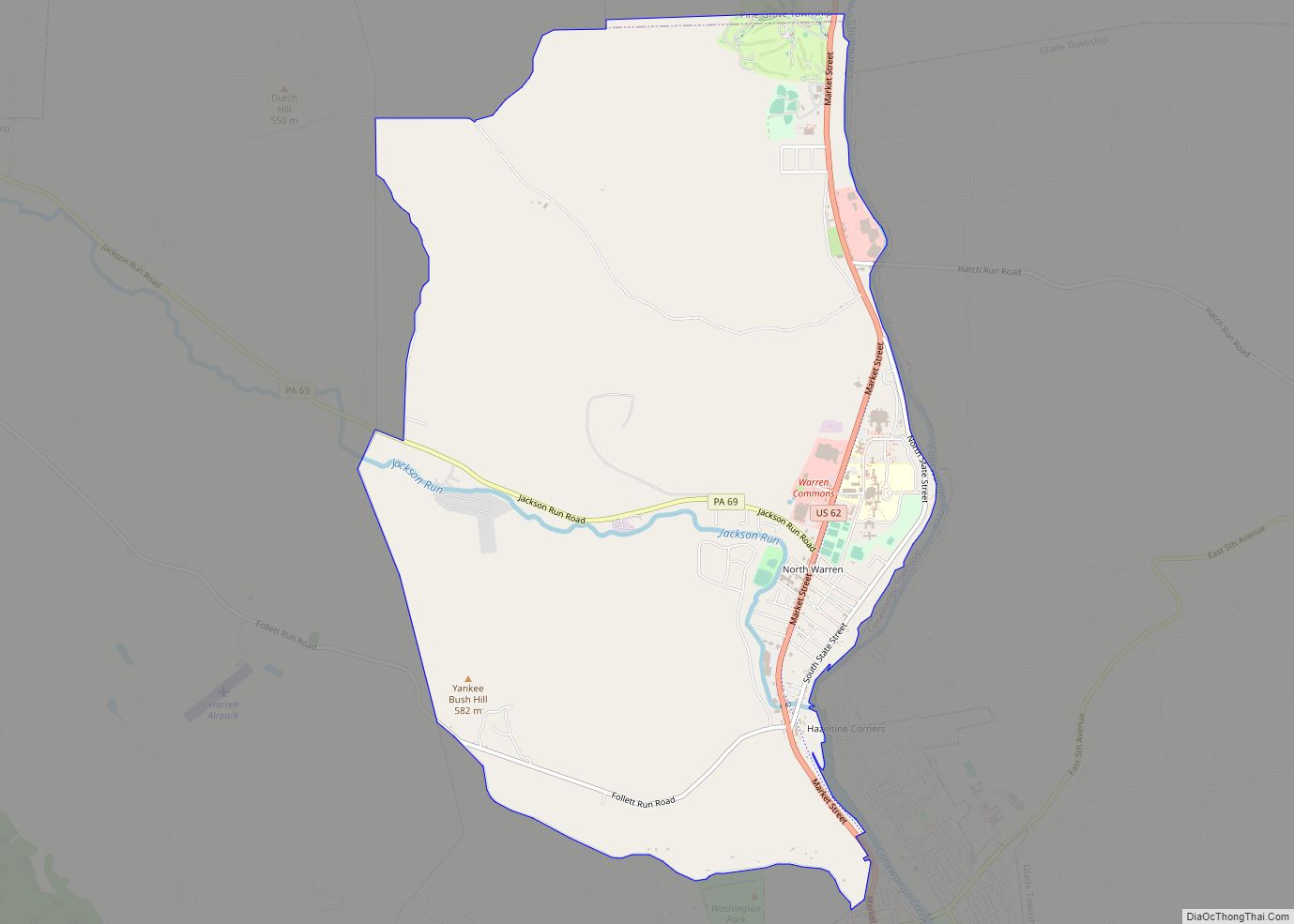
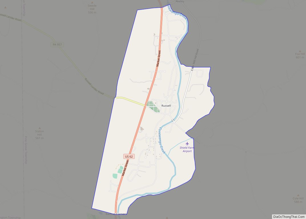
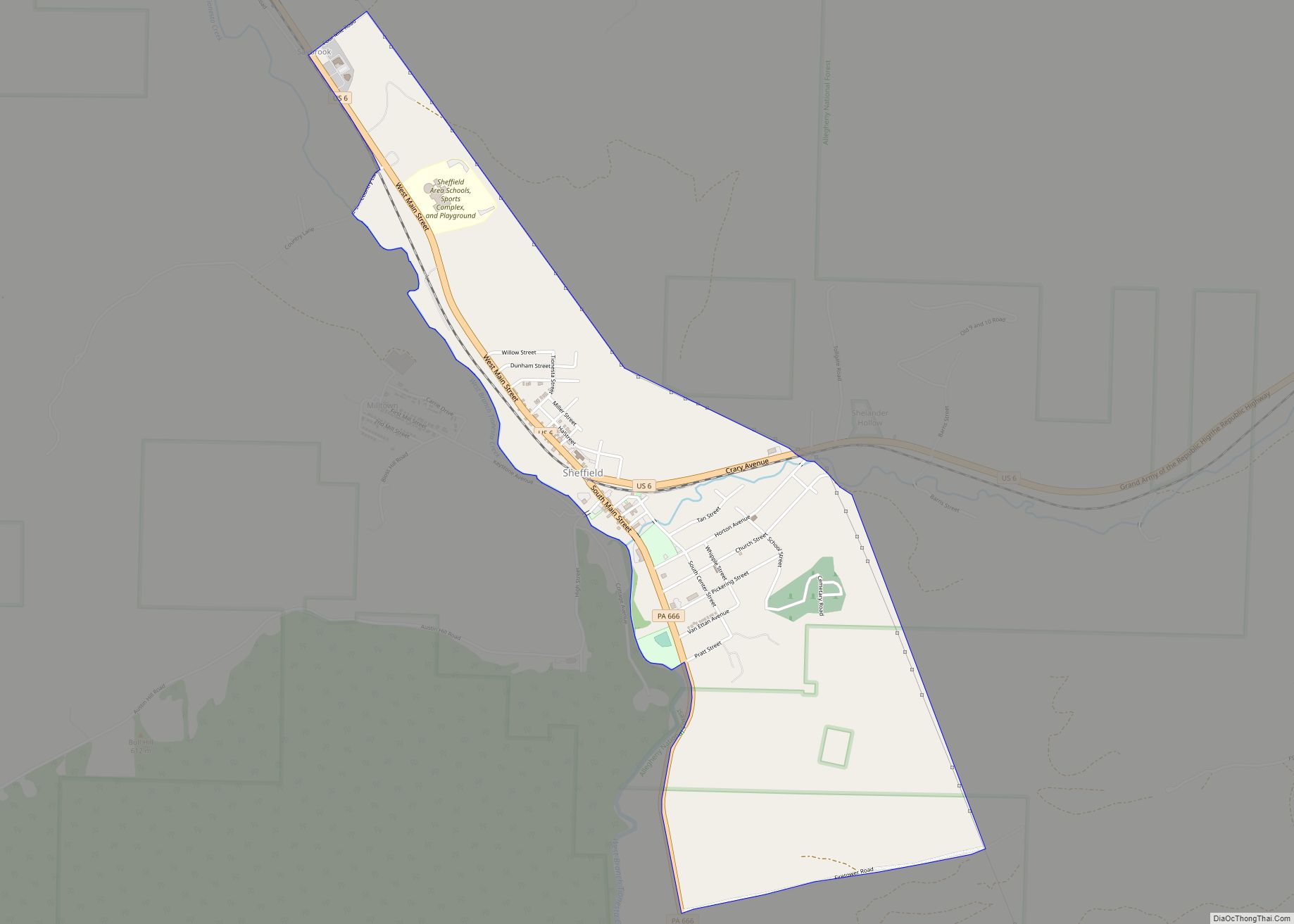
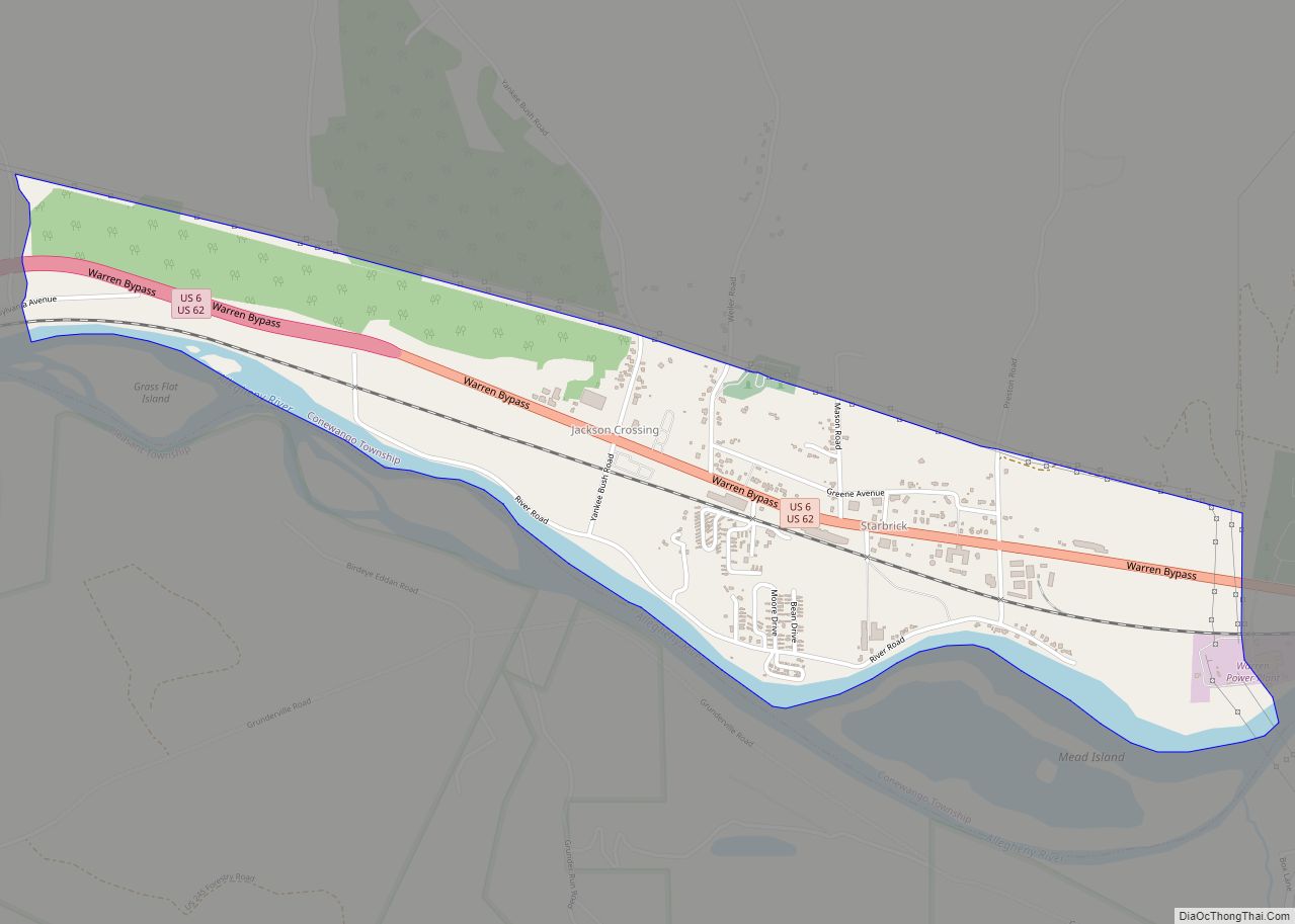
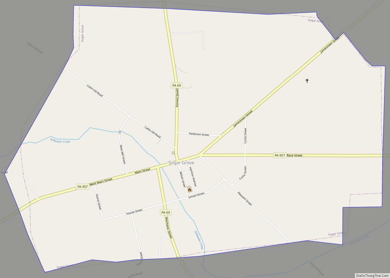
Online Interactive Map
Click on ![]() to view map in "full screen" mode.
to view map in "full screen" mode.
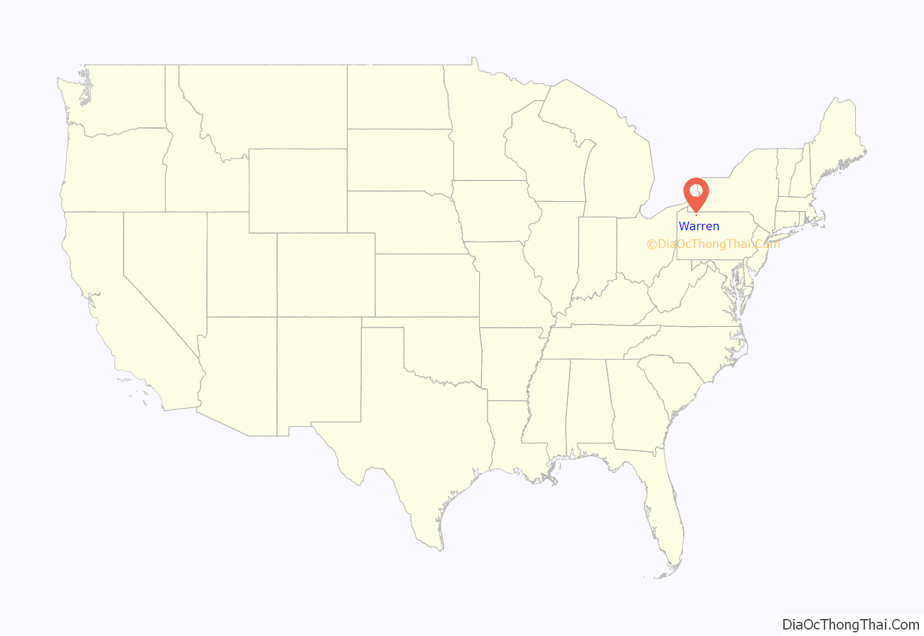
Warren location map. Where is Warren city?

History
Warren was initially inhabited by Native Americans of the Seneca nation. French explorers had longstanding claims to the area which they acted to secure in an unambiguous fashion with a military-Amerindian expedition in 1749 that buried a succession of plaques claiming the territory as France’s in response to the formation of the colonial Ohio Company—and the first of these was buried in Warren but ultimately control was transferred to the British after the French and Indian War. After the Revolutionary War, General William Irvine and Andrew Ellicott were sent to the area to lay out a town in 1795. It was named after Major General Joseph Warren.
The first permanent structure in Warren, a storehouse built by the Holland Land Company, was completed in 1796. Daniel McQuay of Ireland was the first permanent inhabitant of European descent. Lumber was the main industry from 1810–1840, as the abundance of wood and access to water made it profitable to float lumber down the Allegheny River to Pittsburgh.
David Beaty discovered oil in Warren in 1875 while drilling for natural gas in his wife’s flower garden. Oil came to dominate the city’s economy. Many of the town’s large Victorian homes were built with revenue generated by the local oil and timber industries.
Pittsburgh Des Moines, which was formerly located in Warren, was the manufacturer of the Gateway Arch in St. Louis. Pittsburgh-Des Moines (PDM) also made railroad car tanks, storage tanks and other plate work. Several miniature replicas are located within the county as well, one being at the new visitors center on Routes US 6 and US 62 next to the Pennsylvania State Police barracks.
In recent years, Warren has struggled through hard economic times and a steady decline in population (after peaking at nearly 15,000 residents in 1940), but the city is attempting to bounce back with the Impact Warren project, a riverfront development project in downtown Warren. The completed project will include new townhouses and senior citizen housing, retail and commercial development, a parking garage, convention center and bus depot.
Major employers include Walmart, the United Refining Company (gas supplier for Kwik Fill and Red Apple Food Mart gas stations), Allegheny National Forest, Northwest Bank, Whirley-Drinkworks, Superior Tire and Rubber Corp, Pennsylvania General Energy, Betts Industries, Inc, Blair Corporation, Sheetz, and Interlectric.
The Warren Historic District, A.J. Hazeltine House, John P. Jefferson House, Struthers Library Building, Warren Armory, Warren County Courthouse, Wetmore House, Guy Irvine House (“The Locusts”) and Woman’s Club of Warren are listed on the National Register of Historic Places.
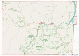
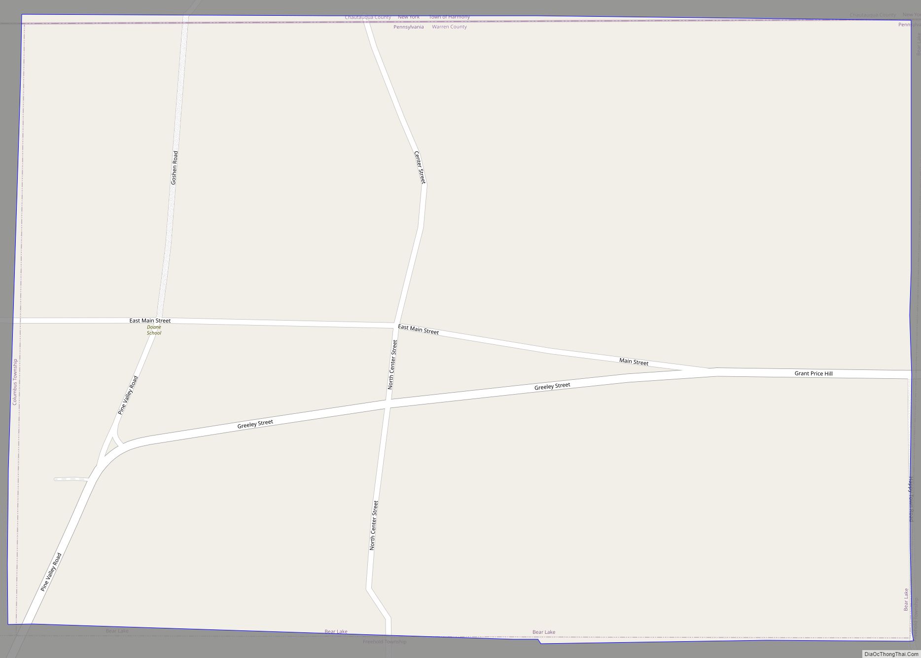
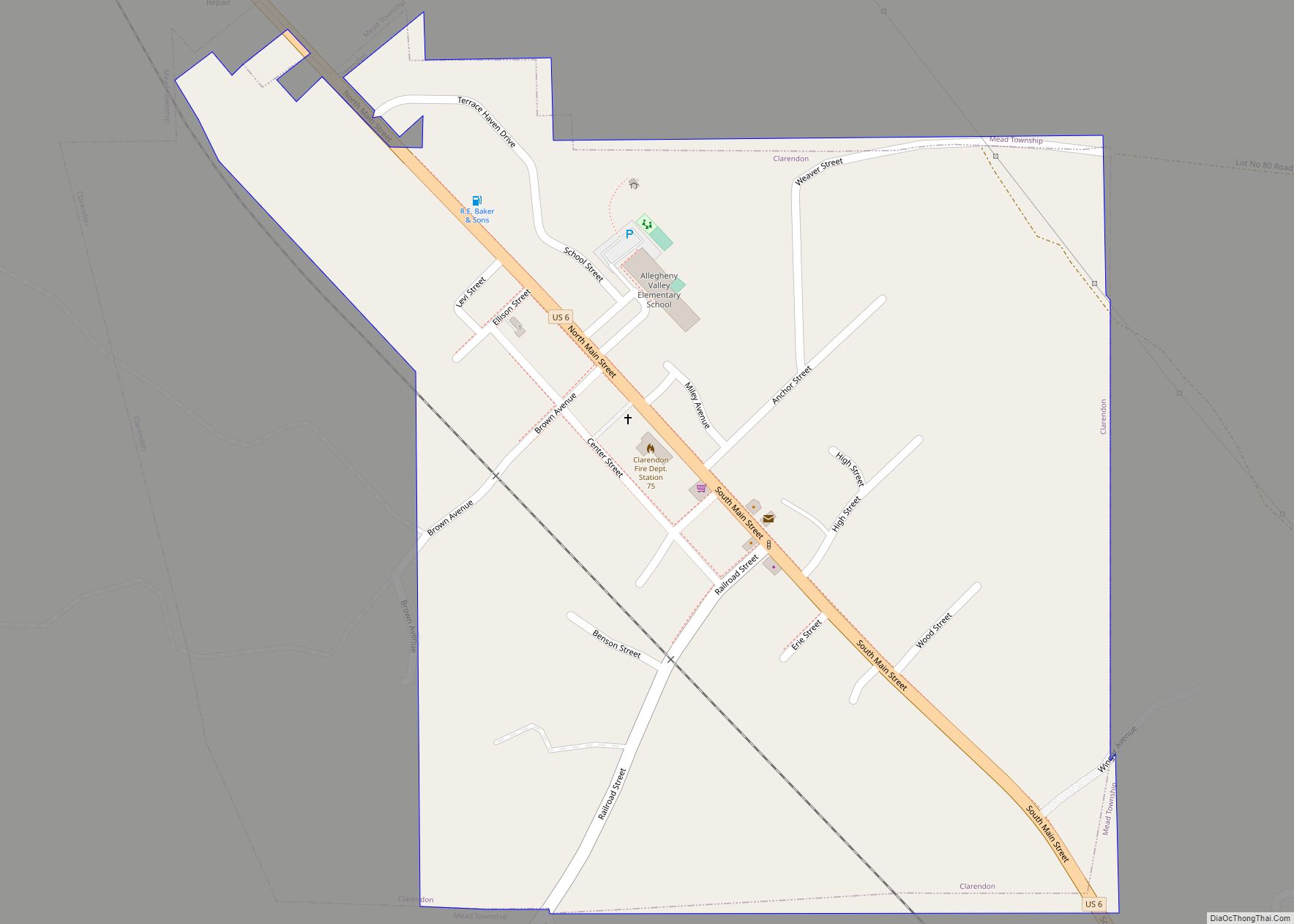
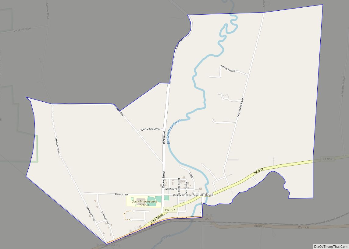
Warren Road Map

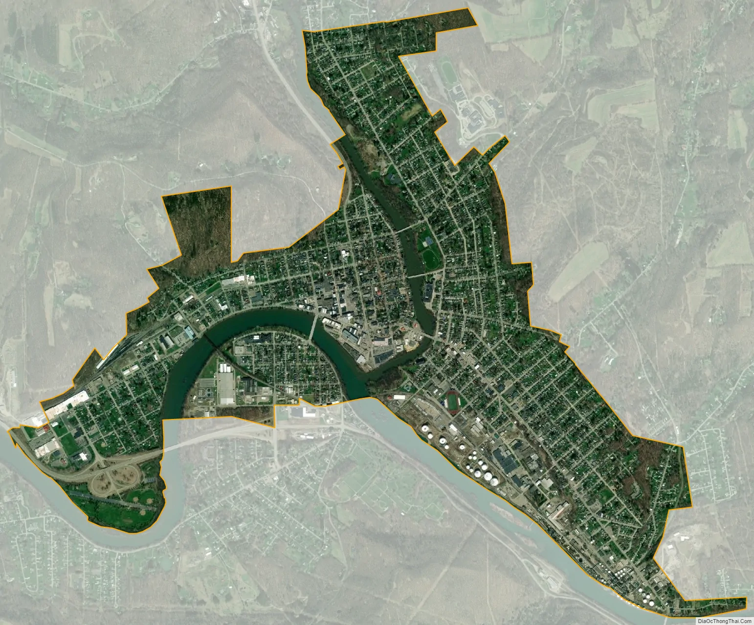
Warren city Satellite Map
Geography
Warren is located at the confluence of the Allegheny River and the Conewango Creek. The Conewango Creek flows between New York State and Warren, and the Allegheny Reservoir and Kinzua Dam are nearby.
According to the United States Census Bureau, the city has a total area of 3.1 square miles (8.0 km), of which 2.9 square miles (7.5 km) is land and 0.2 square miles (0.52 km) (6.11%) is water.
The Allegheny River from the Kinzua Dam to the City of Warren has been designated a “Recreational Waterway” by the United States Congress.
Climate
See also
Map of Pennsylvania State and its subdivision:- Adams
- Allegheny
- Armstrong
- Beaver
- Bedford
- Berks
- Blair
- Bradford
- Bucks
- Butler
- Cambria
- Cameron
- Carbon
- Centre
- Chester
- Clarion
- Clearfield
- Clinton
- Columbia
- Crawford
- Cumberland
- Dauphin
- Delaware
- Elk
- Erie
- Fayette
- Forest
- Franklin
- Fulton
- Greene
- Huntingdon
- Indiana
- Jefferson
- Juniata
- Lackawanna
- Lancaster
- Lawrence
- Lebanon
- Lehigh
- Luzerne
- Lycoming
- Mc Kean
- Mercer
- Mifflin
- Monroe
- Montgomery
- Montour
- Northampton
- Northumberland
- Perry
- Philadelphia
- Pike
- Potter
- Schuylkill
- Snyder
- Somerset
- Sullivan
- Susquehanna
- Tioga
- Union
- Venango
- Warren
- Washington
- Wayne
- Westmoreland
- Wyoming
- York
- Alabama
- Alaska
- Arizona
- Arkansas
- California
- Colorado
- Connecticut
- Delaware
- District of Columbia
- Florida
- Georgia
- Hawaii
- Idaho
- Illinois
- Indiana
- Iowa
- Kansas
- Kentucky
- Louisiana
- Maine
- Maryland
- Massachusetts
- Michigan
- Minnesota
- Mississippi
- Missouri
- Montana
- Nebraska
- Nevada
- New Hampshire
- New Jersey
- New Mexico
- New York
- North Carolina
- North Dakota
- Ohio
- Oklahoma
- Oregon
- Pennsylvania
- Rhode Island
- South Carolina
- South Dakota
- Tennessee
- Texas
- Utah
- Vermont
- Virginia
- Washington
- West Virginia
- Wisconsin
- Wyoming