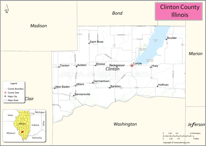
Clinton County is located in the U.S. state of Illinois. At the 2020 census, the population was 37,762. Its county seat is Carlyle.
In 1960, the United States Census Bureau placed the mean center of U.S. population in Clinton County.
Clinton County is part of the St. Louis, MO-IL Metropolitan Statistical Area.
| Name: | Clinton County |
|---|---|
| FIPS code: | 17-027 |
| State: | Illinois |
| Founded: | 1824 |
| Named for: | DeWitt Clinton |
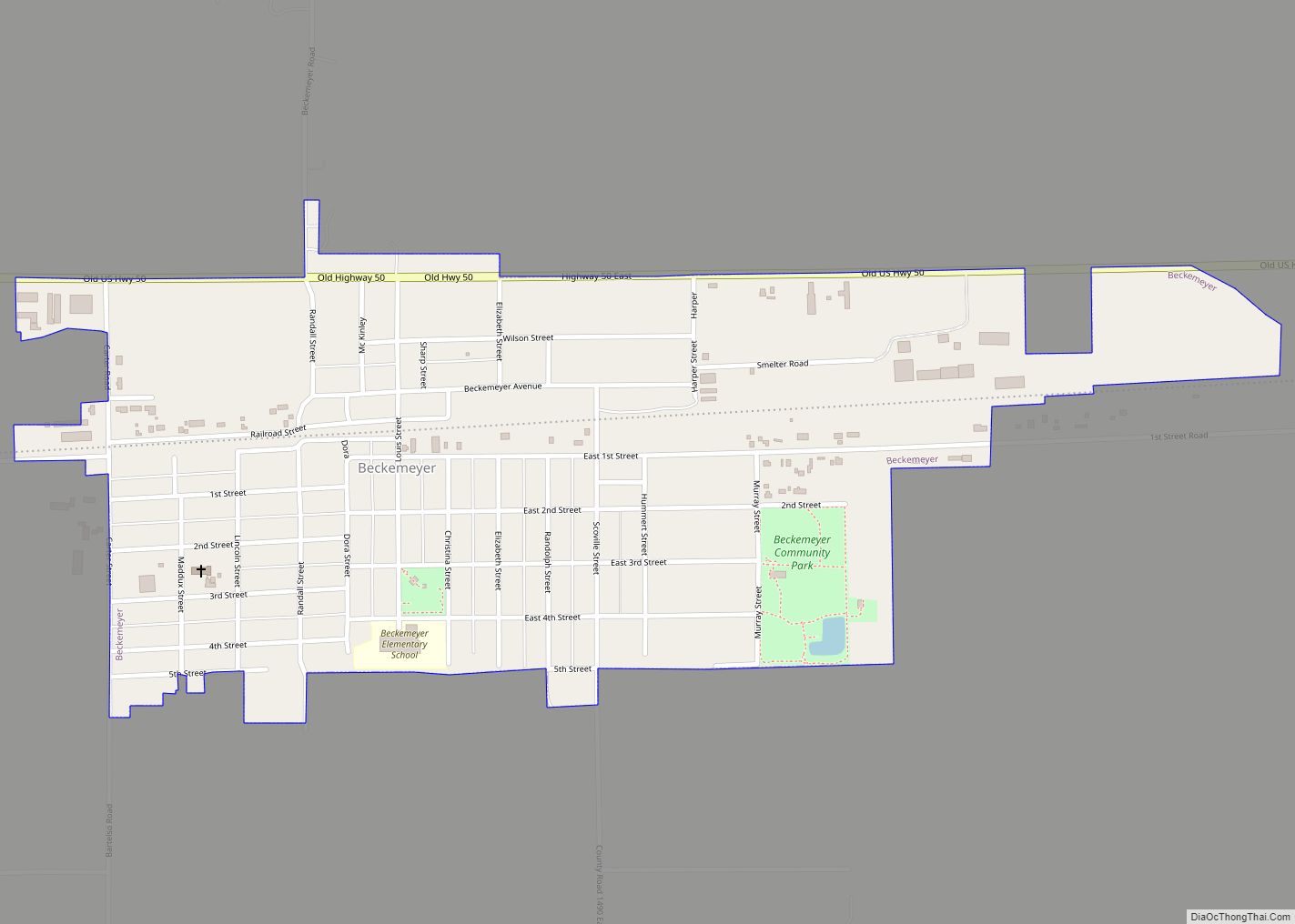
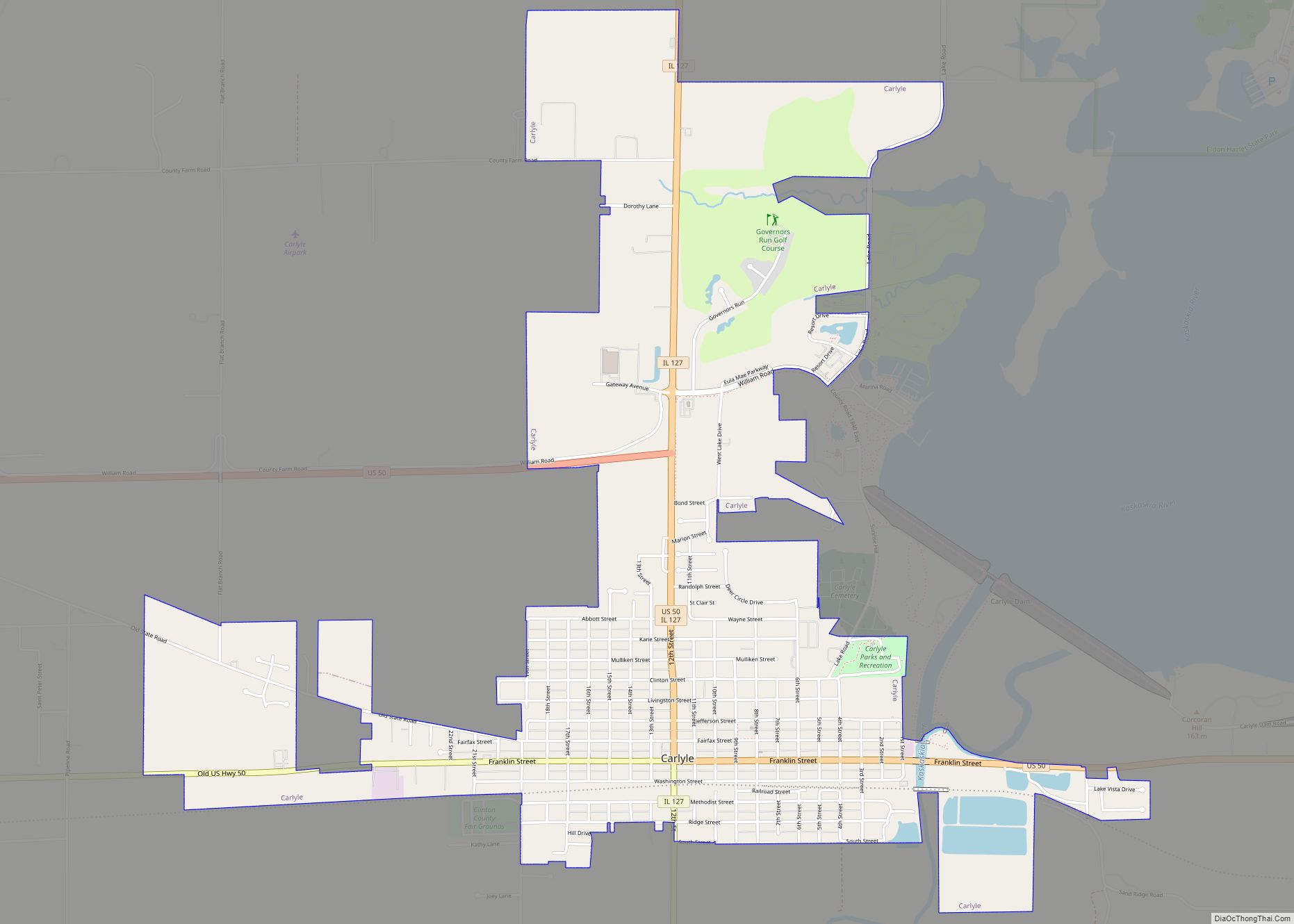
| Seat: | Carlyle |
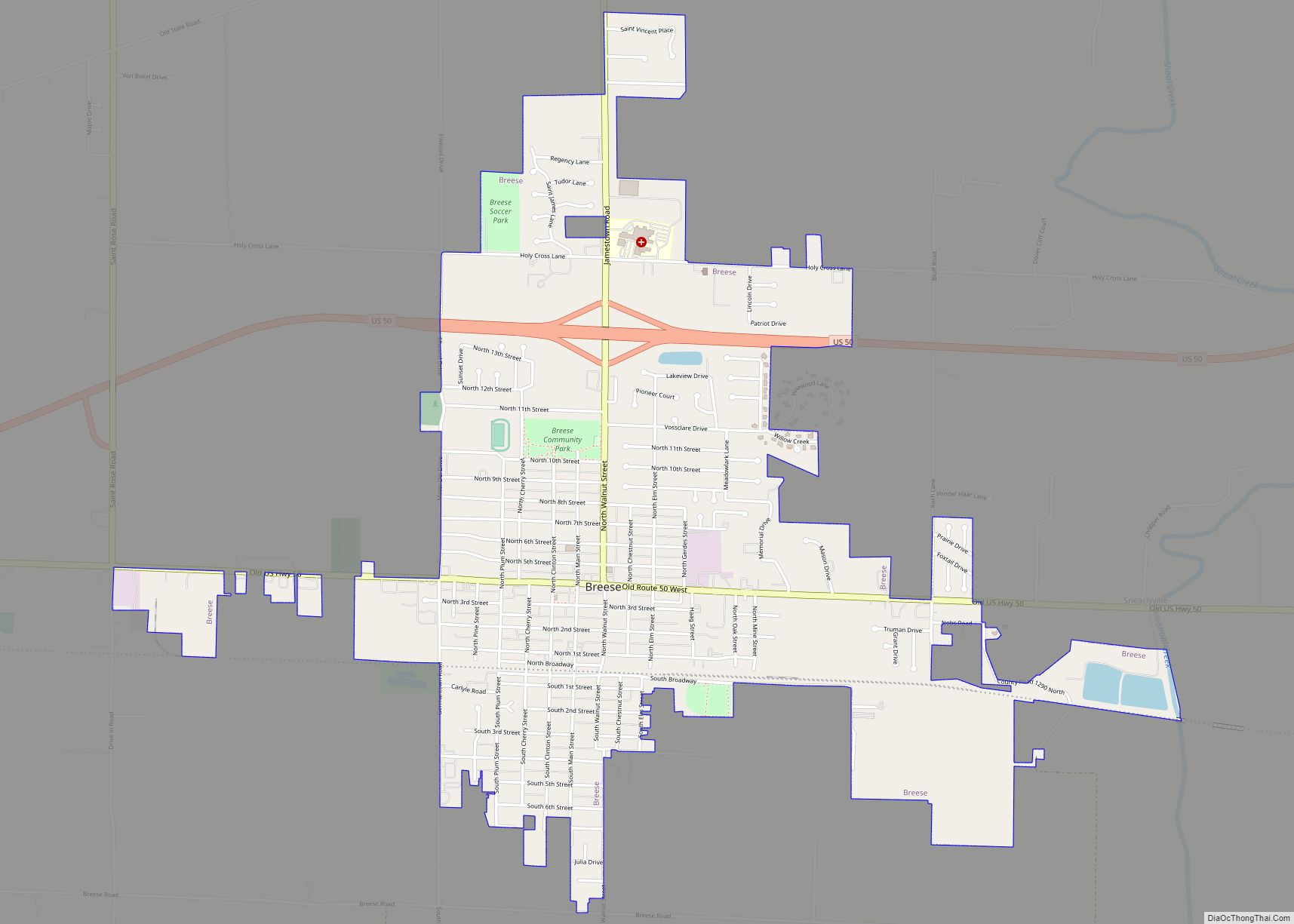
| Largest city: | Breese |
| Total Area: | 503 sq mi (1,300 km²) |
| Land Area: | 474 sq mi (1,230 km²) |
| Total Population: | 37,762 |
| Population Density: | 75/sq mi (29/km²) |
| Time zone: | UTC−6 (Central) |
| Summer Time Zone (DST): | UTC−5 (CDT) |
| Website: | www.clintonco.illinois.gov |
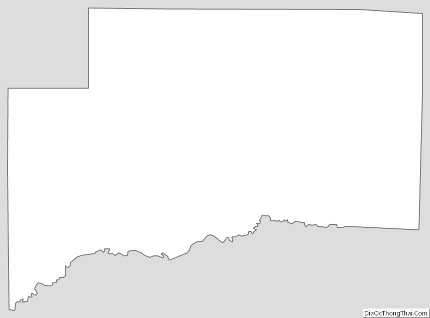
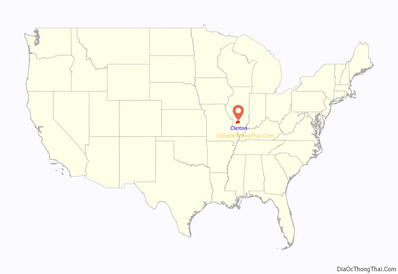
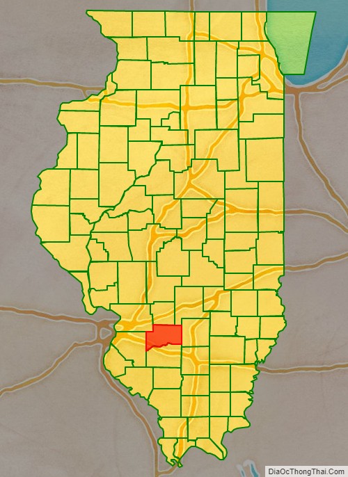
Clinton County location map. Where is Clinton County?
History
In 1805, prior to the establishment of the county, the territorial government established a post road from its capital (Vincennes, Indiana) to St. Louis, Missouri, passing through the county. In 1808 a wagon road was laid out through the future Clinton County. It extended from the Goshen Settlement to the Ohio salt works and crossed the Kaskaskia River at Carlyle.
Clinton County was created on 27 December 1824, from portions of Washington, Fayette, and Bond Counties. It was named for the seventh Governor of New York, DeWitt Clinton, who helped build the Erie Canal.
Crossing the Kaskaskia became much easier when the bridge now known as the General Dean Suspension Bridge was built in 1859, at a cost of $40,000. Before the bridge was constructed, crossings involved a ferry or a mud bridge. The Illinois General Assembly set aside $20,000 for bridge restoration in 1951, and in 1953 the bridge was named after William F. Dean.
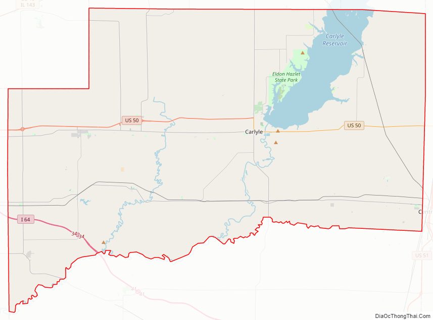
Clinton County Road Map
Geography
According to the U.S. Census Bureau, the county has a total area of 503 square miles (1,300 km), of which 474 square miles (1,230 km) is land and 29 square miles (75 km) (5.8%) is water. Eldon Hazlet State Recreation Area and South Shore State Park are in Clinton County. Its southern border is the Kaskaskia River.
Climate and weather
In recent years, average temperatures in the county seat of Carlyle have ranged from a low of 19 °F (−7 °C) in January to a high of 88 °F (31 °C) in July, although a record low of −22 °F (−30 °C) was recorded in January 1994 and a record high of 104 °F (40 °C) was recorded in July 1980. Average monthly precipitation ranged from 2.17 inches (55 mm) in January to 4.44 inches (113 mm) in June.
Major highways
- Interstate 64
- US Route 50
- Illinois Route 127
- Illinois Route 160
- Illinois Route 161
- Illinois Route 177
Adjacent counties
- Bond County – north
- Fayette County – northeast
- Madison County – northwest
- Marion County – east
- St. Clair County – west
- Washington County – south
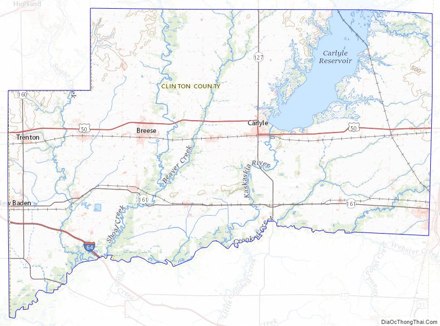
Clinton County Topographic Map
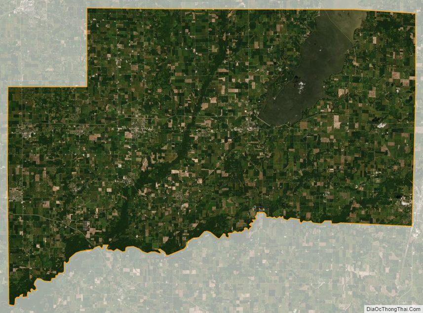
Clinton County Satellite Map
Clinton County Outline Map