Centralia is a city in Clinton, Jefferson, Marion, and Washington counties in the U.S. state of Illinois with the largest portion in Marion County. The city is the largest in three of the counties; Clinton, Marion, and Washington, but is not a county seat of any of them. The population was 12,182 as of the 2020 census, down from 13,032 in 2010.
| Name: | Centralia city |
|---|---|
| LSAD Code: | 25 |
| LSAD Description: | city (suffix) |
| State: | Illinois |
| County: | Clinton County, Jefferson County, Marion County, Washington County |
| Founded: | 1853 |
| Elevation: | 502 ft (153 m) |
| Total Area: | 9.23 sq mi (23.91 km²) |
| Land Area: | 8.20 sq mi (21.24 km²) |
| Water Area: | 1.03 sq mi (2.67 km²) |
| Total Population: | 12,182 |
| Population Density: | 1,485.61/sq mi (573.61/km²) |
| Area code: | 618 |
| FIPS code: | 1712164 |
| Website: | cityofcentralia.org |
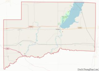
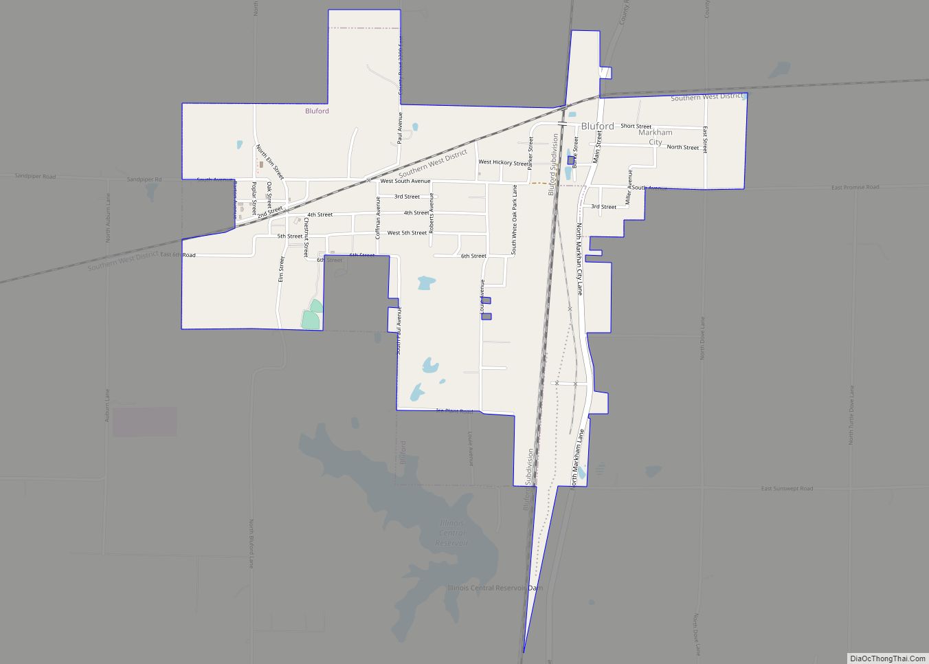
Online Interactive Map
Click on ![]() to view map in "full screen" mode.
to view map in "full screen" mode.
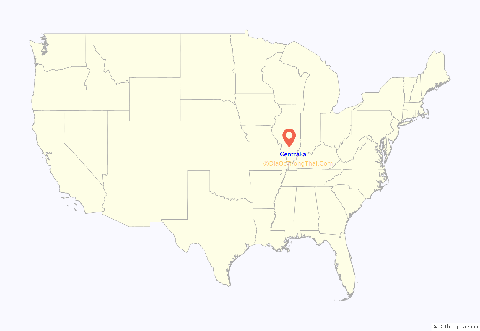
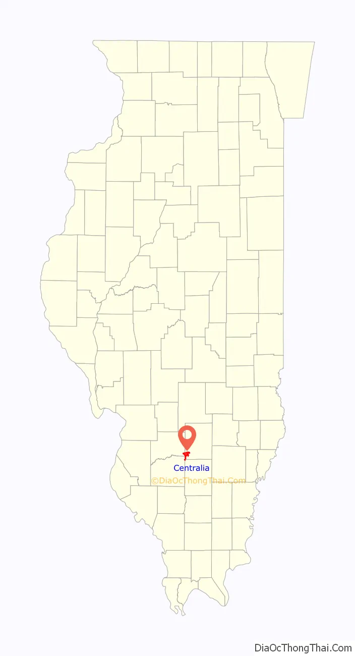
Centralia location map. Where is Centralia city?
History
Centralia is named for the Illinois Central Railroad, built in 1853. The city was founded at the location where the two original branches of the railroad converged. Centralia was first chartered as a city in 1859. Now Canadian National owns the line.
In the southern city limits is the intersection of the Third Principal Meridian and its baseline. This initial point was established in 1815, and it governs land surveys for about 60% of the state of Illinois, including Chicago. The original monument is at the junction of Highway 51 and the Marion-Jefferson County Line Road; today there is a small easement situated in the northeast corner of this intersection, which contains a monument and historic marker.
Production of the PayDay candy bar began here in 1938. Michael Moore’s documentary, The Big One (1998), opens with the closing of this candy bar plant in the late 20th century. It addresses similar economic woes in other cities.
The town of Centerville, Washington was renamed as Centralia, Washington to avoid being confused with another Centerville in that state. The suggestion came from a former resident of the Illinois town.
Centralia’s city flag was designed in 1924 by Wendell Bauer, whose design was awarded first prize in a community-wide design competition. A broad red stripe through the center of the flag represents the railroads to which the city owes its existence. A gold star above and below the stripe signify the area’s mining and agricultural industries, respectively. Lastly, a triangle pyramid with a sphinx head design is symbolic of Egypt, a tribute to Southern Illinois’ nickname, “Little Egypt”.
The Centralia mine disaster occurred in 1947, when the nearby Centralia No. 5 coal mine exploded, killing 111 people. The was memorialized in folk singer Woody Guthrie’s song “The Dying Miner”.
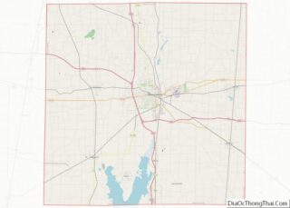
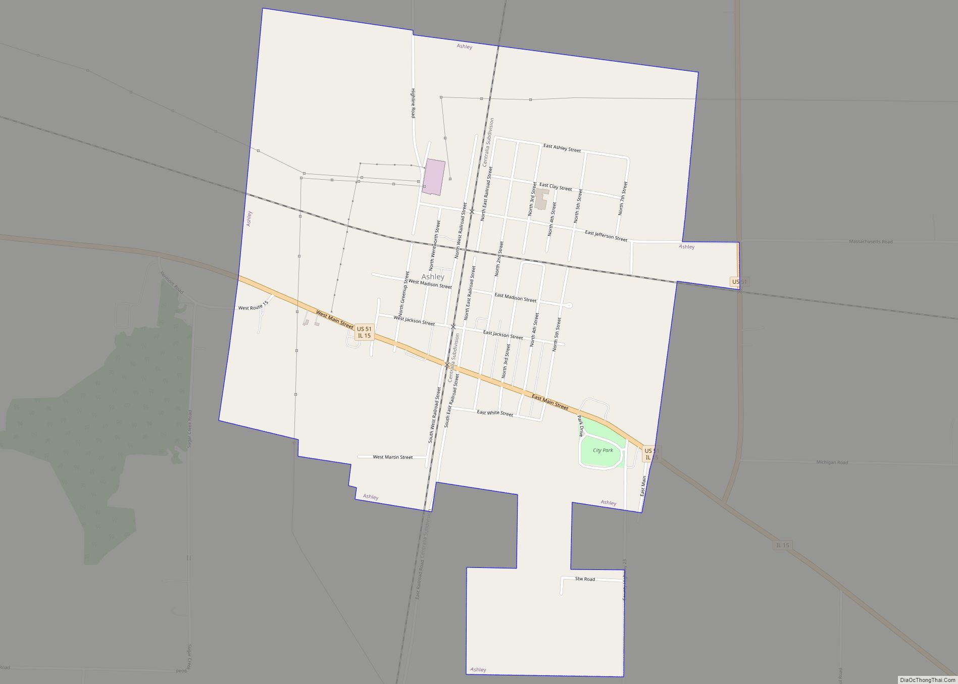
Centralia Road Map
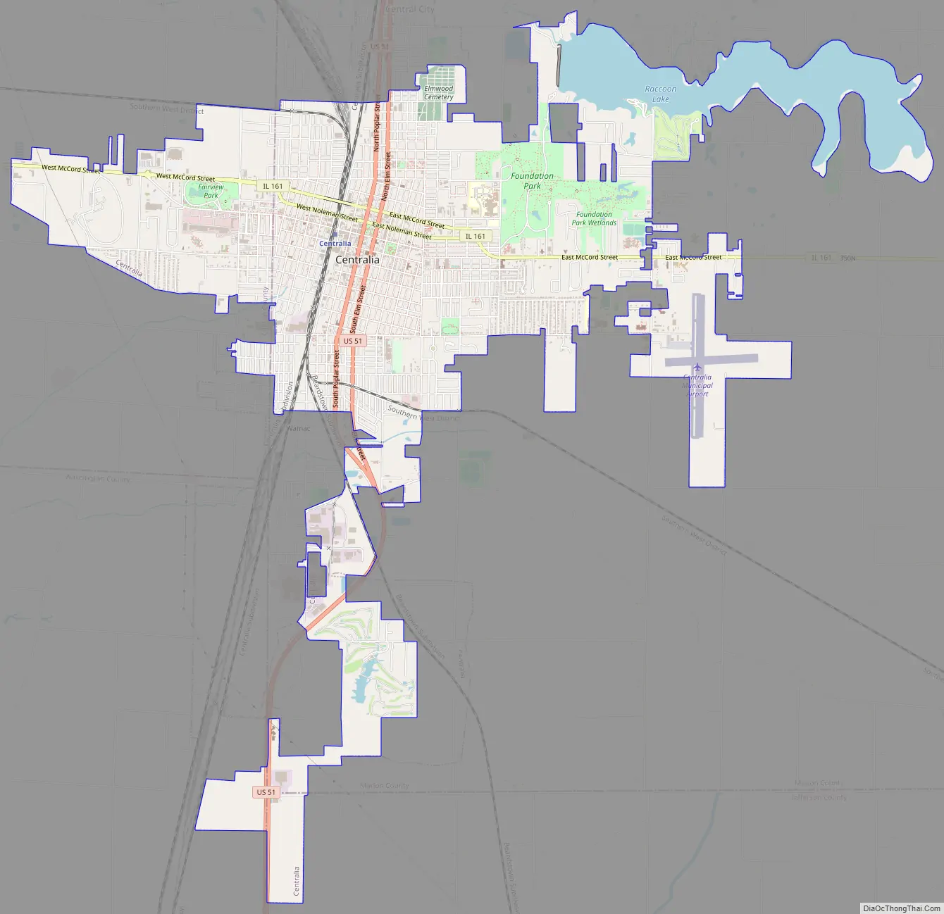
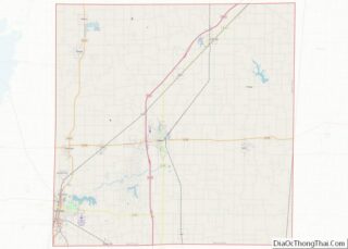
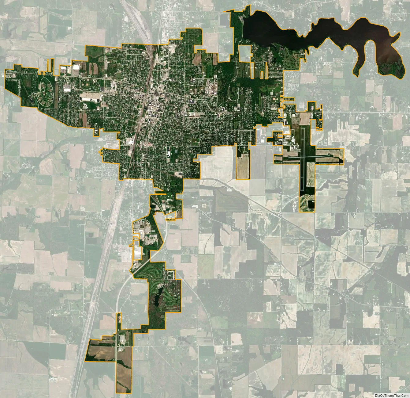
Centralia city Satellite Map
Geography
Centralia is located approximately 60 miles (97 km) east of St. Louis, Missouri. Most of the city, including its downtown, is in southwestern Marion County, but the city extends west into Clinton County and south 5 miles (8 km) into Washington and Jefferson counties. The city is 10 miles (16 km) north of exit 61 of Interstate 64 and 9 miles (14 km) west of exit 109 of Interstate 57. Centralia is one of three Illinois cities with portions in four counties, the others being Barrington Hills and Aurora. Because of its unique location within multiple counties, portions of Centralia are associated with different Core Based Statistical Areas (CBSAs). The Centralia Micropolitan Statistical Area includes all of Marion County. The Clinton County portion of the city is considered part of the St. Louis, MO–IL Metropolitan Statistical Area, while the Jefferson County portion lies within the Mt. Vernon Micropolitan Statistical Area. The portion of Centralia in Washington County is not considered part of any metropolitan or micropolitan area.
According to the 2021 census gazetteer files, Centralia has a total area of 9.23 square miles (23.91 km), of which 8.20 square miles (21.24 km) (or 88.81%) is land and 1.03 square miles (2.67 km) (or 11.19%) is water.
See also
Map of Illinois State and its subdivision:- Adams
- Alexander
- Bond
- Boone
- Brown
- Bureau
- Calhoun
- Carroll
- Cass
- Champaign
- Christian
- Clark
- Clay
- Clinton
- Coles
- Cook
- Crawford
- Cumberland
- De Kalb
- De Witt
- Douglas
- Dupage
- Edgar
- Edwards
- Effingham
- Fayette
- Ford
- Franklin
- Fulton
- Gallatin
- Greene
- Grundy
- Hamilton
- Hancock
- Hardin
- Henderson
- Henry
- Iroquois
- Jackson
- Jasper
- Jefferson
- Jersey
- Jo Daviess
- Johnson
- Kane
- Kankakee
- Kendall
- Knox
- La Salle
- Lake
- Lake Michigan
- Lawrence
- Lee
- Livingston
- Logan
- Macon
- Macoupin
- Madison
- Marion
- Marshall
- Mason
- Massac
- McDonough
- McHenry
- McLean
- Menard
- Mercer
- Monroe
- Montgomery
- Morgan
- Moultrie
- Ogle
- Peoria
- Perry
- Piatt
- Pike
- Pope
- Pulaski
- Putnam
- Randolph
- Richland
- Rock Island
- Saint Clair
- Saline
- Sangamon
- Schuyler
- Scott
- Shelby
- Stark
- Stephenson
- Tazewell
- Union
- Vermilion
- Wabash
- Warren
- Washington
- Wayne
- White
- Whiteside
- Will
- Williamson
- Winnebago
- Woodford
- Alabama
- Alaska
- Arizona
- Arkansas
- California
- Colorado
- Connecticut
- Delaware
- District of Columbia
- Florida
- Georgia
- Hawaii
- Idaho
- Illinois
- Indiana
- Iowa
- Kansas
- Kentucky
- Louisiana
- Maine
- Maryland
- Massachusetts
- Michigan
- Minnesota
- Mississippi
- Missouri
- Montana
- Nebraska
- Nevada
- New Hampshire
- New Jersey
- New Mexico
- New York
- North Carolina
- North Dakota
- Ohio
- Oklahoma
- Oregon
- Pennsylvania
- Rhode Island
- South Carolina
- South Dakota
- Tennessee
- Texas
- Utah
- Vermont
- Virginia
- Washington
- West Virginia
- Wisconsin
- Wyoming