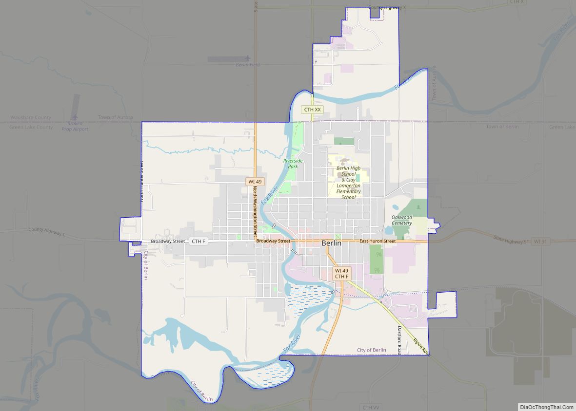
Wautoma is a city in Waushara County, Wisconsin, United States. The population was 2,218 at the 2010 census. Wautoma is the county seat of Waushara County.
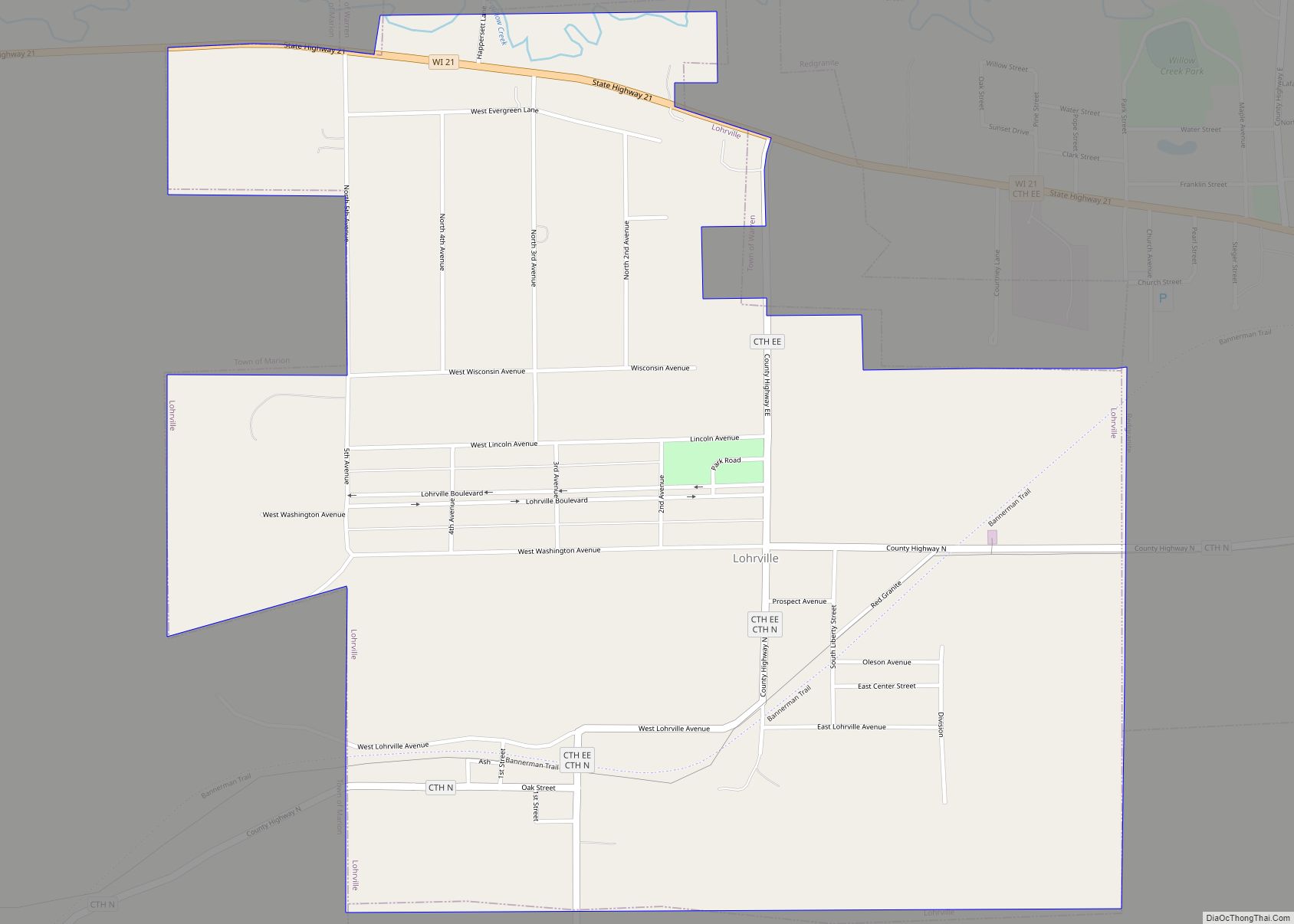
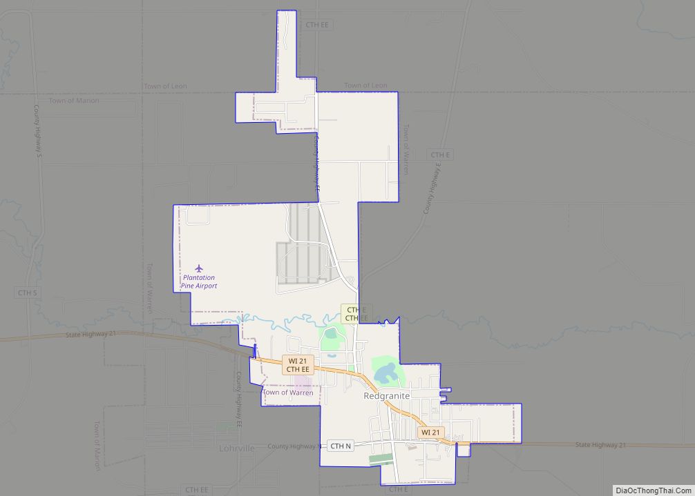
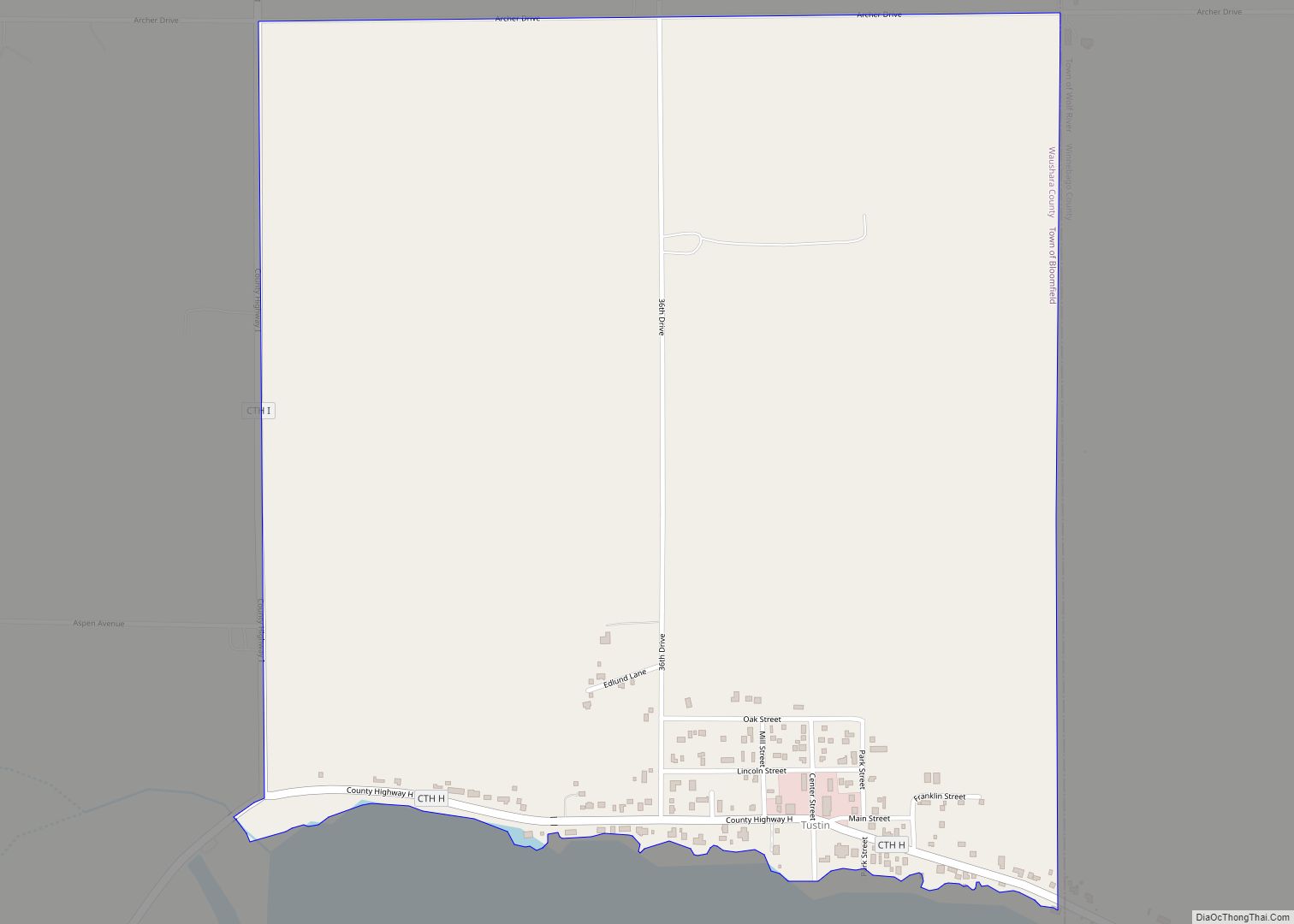
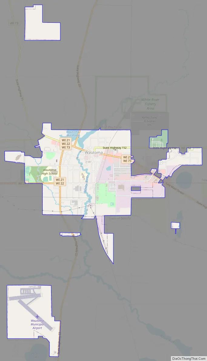
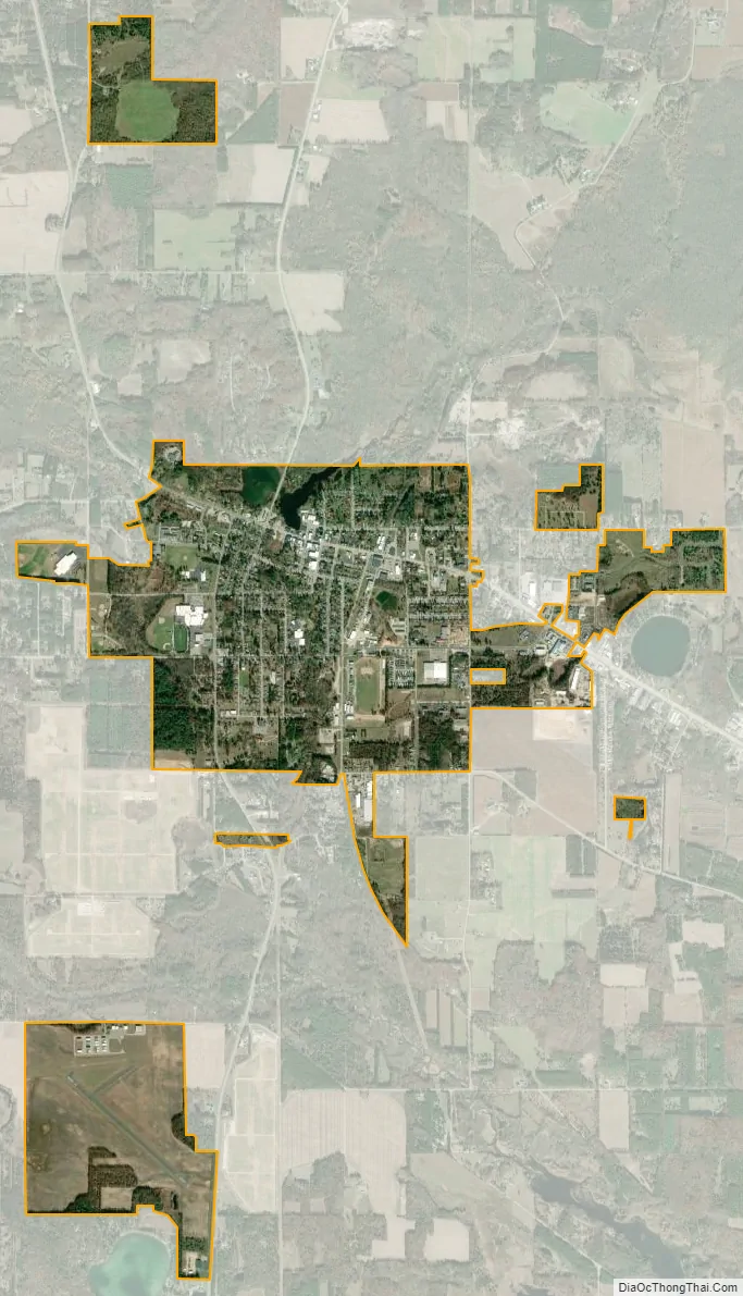
The city consists of three noncontiguous areas: one is entirely within the Town of Wautoma, the second is entirely within the Town of Dakota, and the third straddles the boundary between the two towns.
Wautoma calls itself the “Christmas tree capital of the world”. The Kirk Company of Tacoma, Washington, operated the “Wautoma plantation” of more than 10,000 acres (4,000 ha) of Christmas trees, beginning in 1953.
On August 29, 1992, the town was struck by a half-mile wide F-3 tornado, killing 2 people, injuring 30 others, and causing over $5 million in damage.
| Name: | Wautoma city |
|---|---|
| LSAD Code: | 25 |
| LSAD Description: | city (suffix) |
| State: | Wisconsin |
| County: | Waushara County |
| Elevation: | 863 ft (263 m) |
| Total Area: | 2.83 sq mi (7.34 km²) |
| Land Area: | 2.79 sq mi (7.23 km²) |
| Water Area: | 0.04 sq mi (0.11 km²) |
| Total Population: | 2,218 |
| Population Density: | 767.74/sq mi (296.46/km²) |
| ZIP code: | 54982 |
| Area code: | 920 |
| FIPS code: | 5584625 |
| GNISfeature ID: | 1576330 |
| Website: | http://www.cityofwautoma.com/ |
Online Interactive Map
Click on ![]() to view map in "full screen" mode.
to view map in "full screen" mode.
Wautoma location map. Where is Wautoma city?
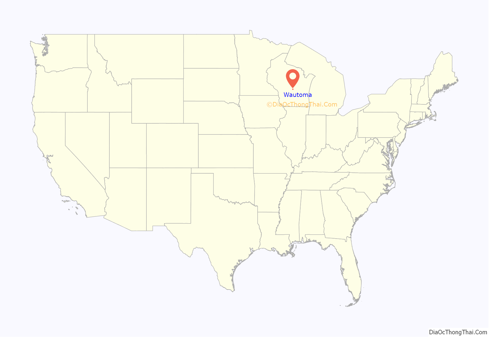
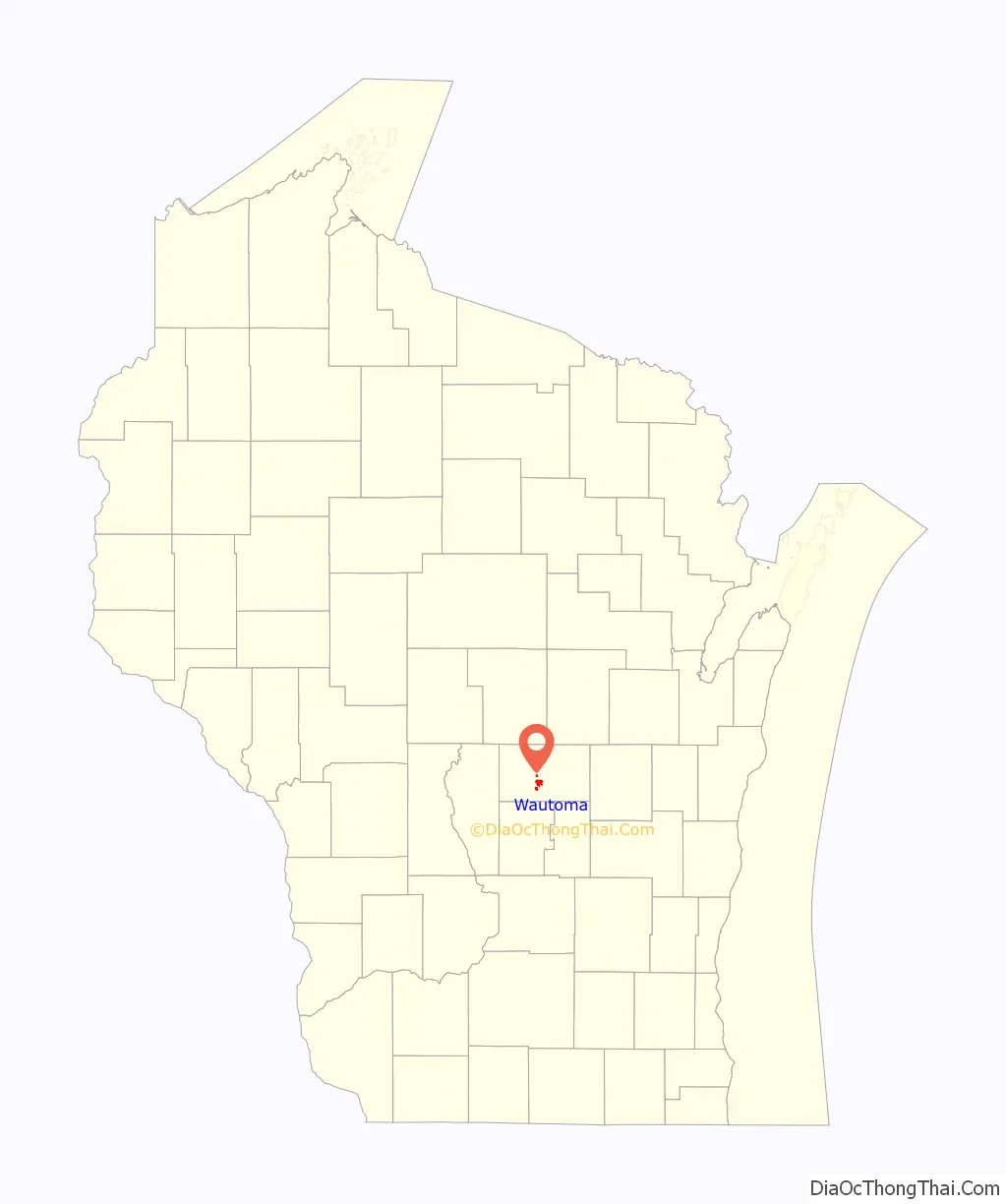
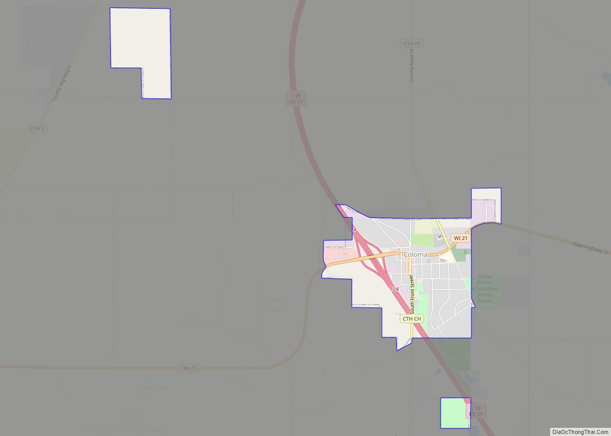
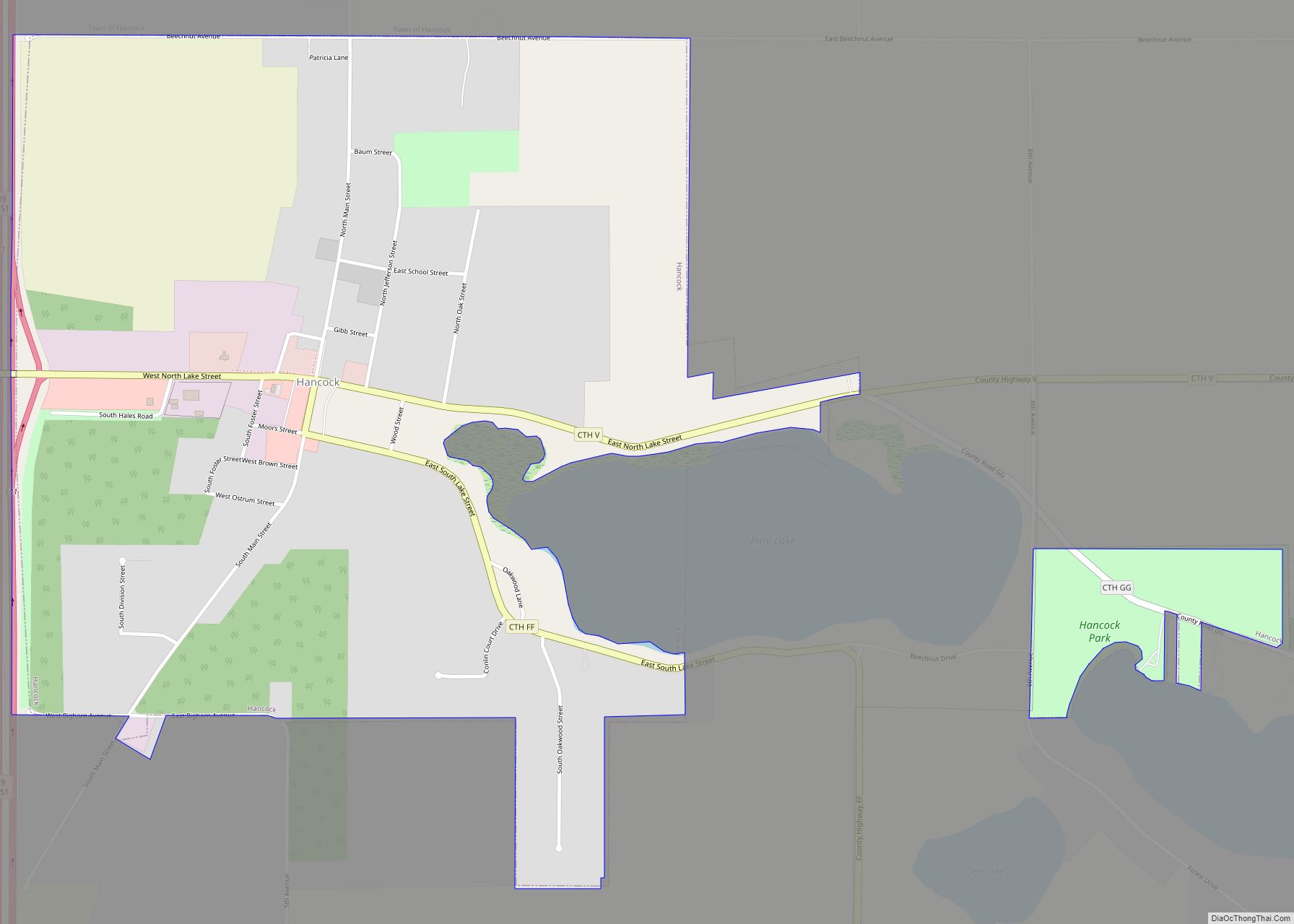
Wautoma Road Map
Wautoma city Satellite Map
Geography
According to the United States Census Bureau, the city has a total area of 2.72 square miles (7.04 km), of which, 2.68 square miles (6.94 km) is land and 0.04 square miles (0.10 km) is water.
See also
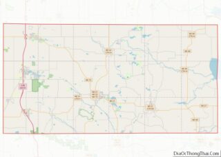
Map of Wisconsin State and its subdivision:- Adams
- Ashland
- Barron
- Bayfield
- Brown
- Buffalo
- Burnett
- Calumet
- Chippewa
- Clark
- Columbia
- Crawford
- Dane
- Dodge
- Door
- Douglas
- Dunn
- Eau Claire
- Florence
- Fond du Lac
- Forest
- Grant
- Green
- Green Lake
- Iowa
- Iron
- Jackson
- Jefferson
- Juneau
- Kenosha
- Kewaunee
- La Crosse
- Lafayette
- Lake Michigan
- Lake Superior
- Langlade
- Lincoln
- Manitowoc
- Marathon
- Marinette
- Marquette
- Menominee
- Milwaukee
- Monroe
- Oconto
- Oneida
- Outagamie
- Ozaukee
- Pepin
- Pierce
- Polk
- Portage
- Price
- Racine
- Richland
- Rock
- Rusk
- Saint Croix
- Sauk
- Sawyer
- Shawano
- Sheboygan
- Taylor
- Trempealeau
- Vernon
- Vilas
- Walworth
- Washburn
- Washington
- Waukesha
- Waupaca
- Waushara
- Winnebago
- Wood
- Alabama
- Alaska
- Arizona
- Arkansas
- California
- Colorado
- Connecticut
- Delaware
- District of Columbia
- Florida
- Georgia
- Hawaii
- Idaho
- Illinois
- Indiana
- Iowa
- Kansas
- Kentucky
- Louisiana
- Maine
- Maryland
- Massachusetts
- Michigan
- Minnesota
- Mississippi
- Missouri
- Montana
- Nebraska
- Nevada
- New Hampshire
- New Jersey
- New Mexico
- New York
- North Carolina
- North Dakota
- Ohio
- Oklahoma
- Oregon
- Pennsylvania
- Rhode Island
- South Carolina
- South Dakota
- Tennessee
- Texas
- Utah
- Vermont
- Virginia
- Washington
- West Virginia
- Wisconsin
- Wyoming