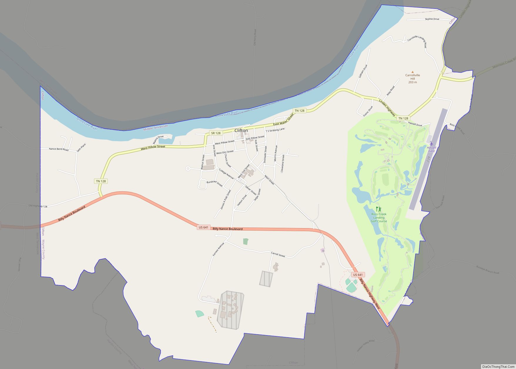
Clifton is a city in Wayne County, Tennessee, on the state’s south central border with Alabama. It developed as a river port along the Tennessee River in the 19th century. Its historic districts listed on the National Register of Historic Places are associated with this period. The population was 2,694 at the 2010 census.
| Name: | Clifton city |
|---|---|
| LSAD Code: | 25 |
| LSAD Description: | city (suffix) |
| State: | Tennessee |
| County: | Wayne County |
| Elevation: | 404 ft (123 m) |
| Total Area: | 6.13 sq mi (15.88 km²) |
| Land Area: | 5.56 sq mi (14.41 km²) |
| Water Area: | 0.57 sq mi (1.48 km²) |
| Total Population: | 2,651 |
| Population Density: | 476.63/sq mi (184.02/km²) |
| ZIP code: | 38425 |
| Area code: | 931 |
| FIPS code: | 4715480 |
| GNISfeature ID: | 1305972 |
| Website: | http://www.cityofclifton.com/ |
Online Interactive Map
Click on ![]() to view map in "full screen" mode.
to view map in "full screen" mode.
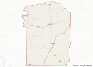
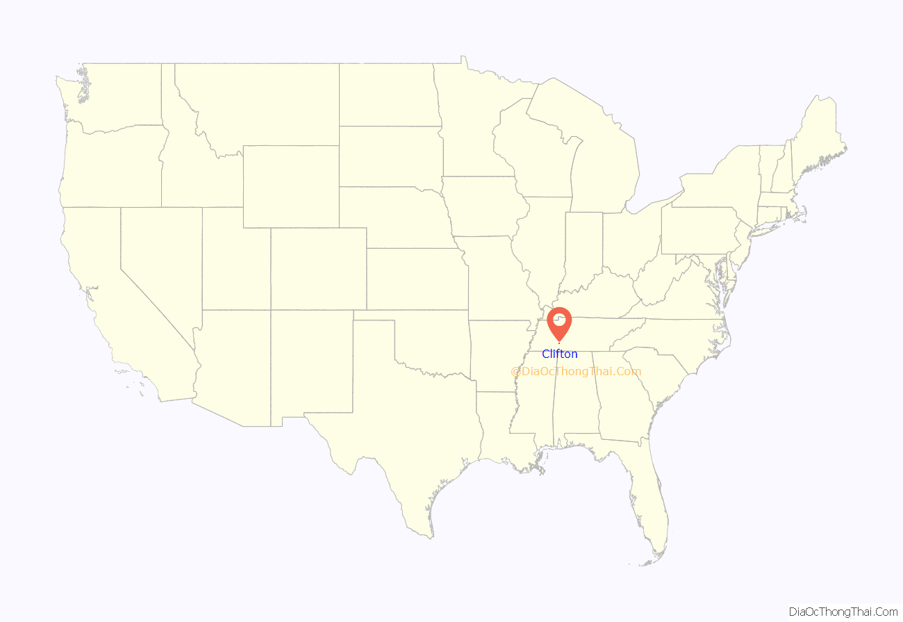
Clifton location map. Where is Clifton city?

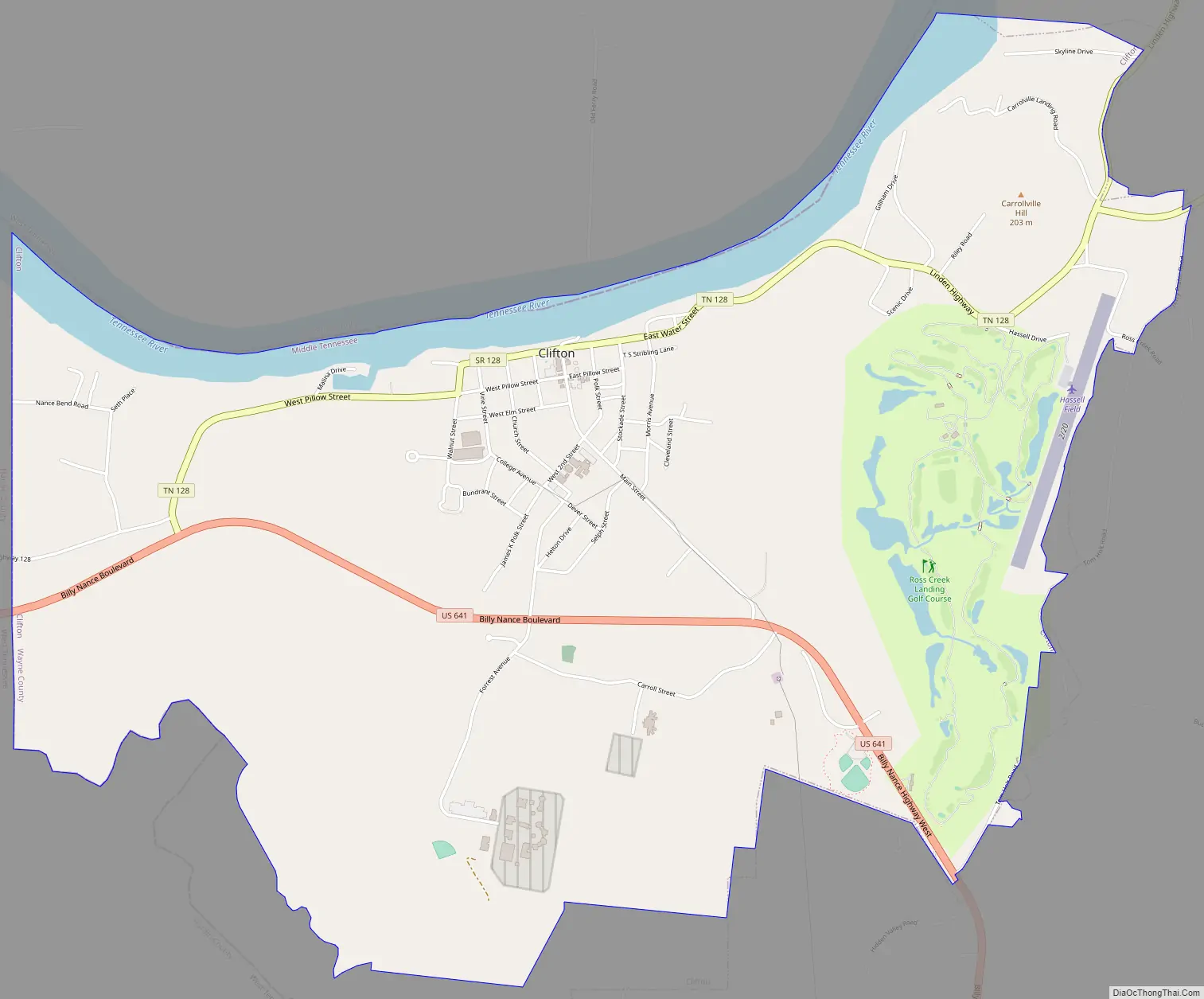
Clifton Road Map
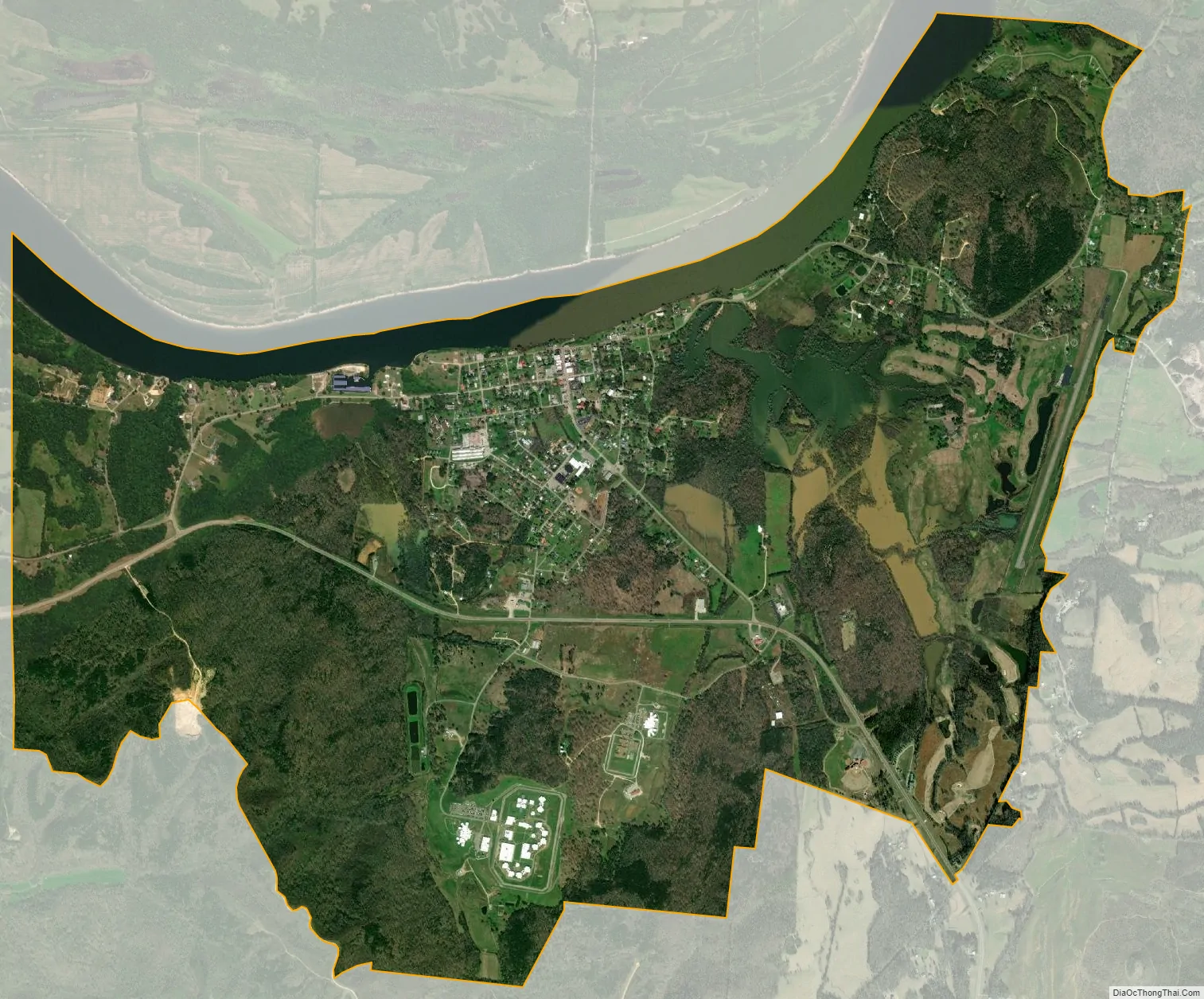
Clifton city Satellite Map
Geography
Clifton is located at 35°22′58″N 87°59′31″W / 35.38278°N 87.99194°W / 35.38278; -87.99194 (35.382777, -87.992060).
According to the United States Census Bureau, the city has a total area of 7.0 square miles (18 km), of which 6.4 square miles (17 km) is land and 0.5 square miles (1.3 km) (7.75%) is water.
See also
Map of Tennessee State and its subdivision:- Anderson
- Bedford
- Benton
- Bledsoe
- Blount
- Bradley
- Campbell
- Cannon
- Carroll
- Carter
- Cheatham
- Chester
- Claiborne
- Clay
- Cocke
- Coffee
- Crockett
- Cumberland
- Davidson
- Decatur
- DeKalb
- Dickson
- Dyer
- Fayette
- Fentress
- Franklin
- Gibson
- Giles
- Grainger
- Greene
- Grundy
- Hamblen
- Hamilton
- Hancock
- Hardeman
- Hardin
- Hawkins
- Haywood
- Henderson
- Henry
- Hickman
- Houston
- Humphreys
- Jackson
- Jefferson
- Johnson
- Knox
- Lake
- Lauderdale
- Lawrence
- Lewis
- Lincoln
- Loudon
- Macon
- Madison
- Marion
- Marshall
- Maury
- McMinn
- McNairy
- Meigs
- Monroe
- Montgomery
- Moore
- Morgan
- Obion
- Overton
- Perry
- Pickett
- Polk
- Putnam
- Rhea
- Roane
- Robertson
- Rutherford
- Scott
- Sequatchie
- Sevier
- Shelby
- Smith
- Stewart
- Sullivan
- Sumner
- Tipton
- Trousdale
- Unicoi
- Union
- Van Buren
- Warren
- Washington
- Wayne
- Weakley
- White
- Williamson
- Wilson
- Alabama
- Alaska
- Arizona
- Arkansas
- California
- Colorado
- Connecticut
- Delaware
- District of Columbia
- Florida
- Georgia
- Hawaii
- Idaho
- Illinois
- Indiana
- Iowa
- Kansas
- Kentucky
- Louisiana
- Maine
- Maryland
- Massachusetts
- Michigan
- Minnesota
- Mississippi
- Missouri
- Montana
- Nebraska
- Nevada
- New Hampshire
- New Jersey
- New Mexico
- New York
- North Carolina
- North Dakota
- Ohio
- Oklahoma
- Oregon
- Pennsylvania
- Rhode Island
- South Carolina
- South Dakota
- Tennessee
- Texas
- Utah
- Vermont
- Virginia
- Washington
- West Virginia
- Wisconsin
- Wyoming