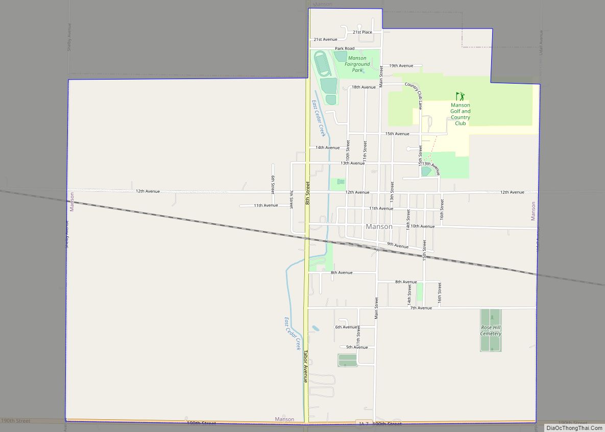
Manson is a city in Calhoun County, Iowa, United States. The population was 1,709 at the time of the 2020 census.
| Name: | Manson city |
|---|---|
| LSAD Code: | 25 |
| LSAD Description: | city (suffix) |
| State: | Iowa |
| County: | Calhoun County |
| Elevation: | 1,240 ft (378 m) |
| Total Area: | 3.24 sq mi (8.40 km²) |
| Land Area: | 3.24 sq mi (8.40 km²) |
| Water Area: | 0.00 sq mi (0.00 km²) |
| Total Population: | 1,709 |
| Population Density: | 527.14/sq mi (203.56/km²) |
| ZIP code: | 50563 |
| Area code: | 712 |
| FIPS code: | 1948990 |
| GNISfeature ID: | 0463553 |
Online Interactive Map
Click on ![]() to view map in "full screen" mode.
to view map in "full screen" mode.
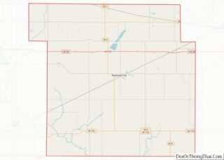
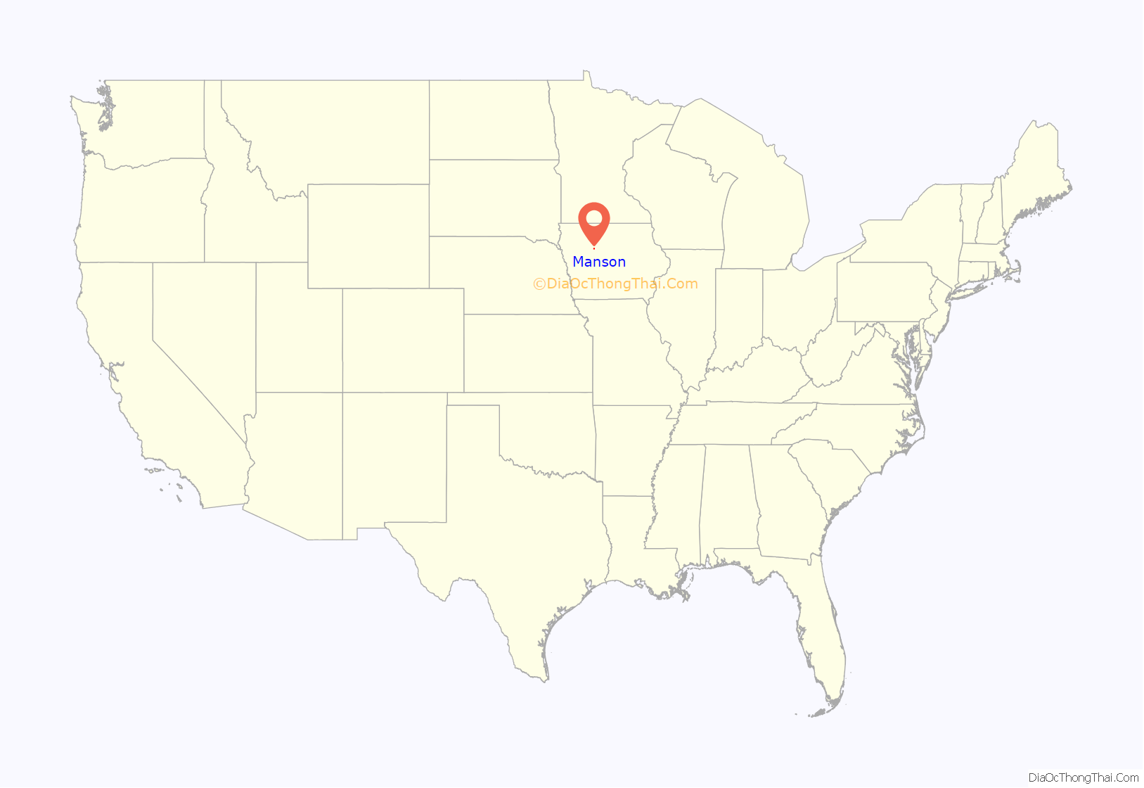
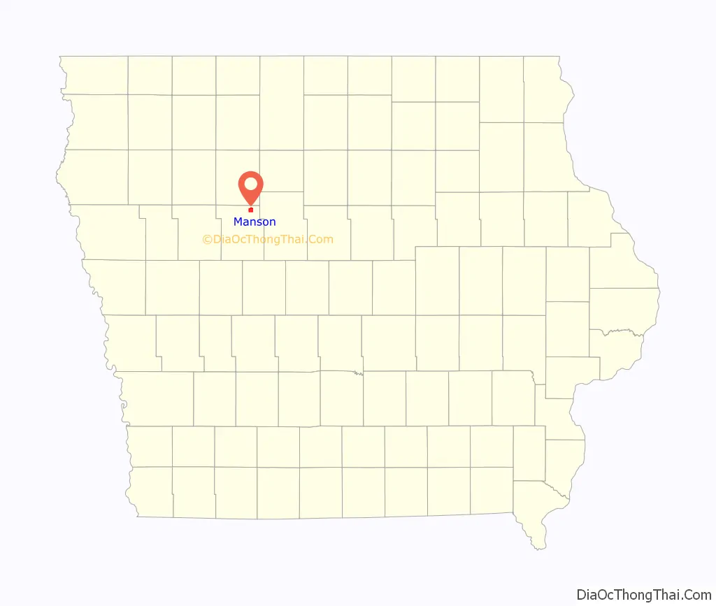
Manson location map. Where is Manson city?
History
Manson was platted in 1872 on the Dubuque and Sioux City Railroad line.
Tornado of June 28, 1979
A destructive F4 tornado killed three people and destroyed a large part of Manson on June 28, 1979, at about 7:45 PM. The tornado slowly chewed its way from northwest to southeast through Manson. The tornado was on the southwest side of a large southeast-moving thunderstorm complex; thus, it was surrounded on three sides by clear skies (in fact, the sun was shining) and was highly visible. Severe damage was done to the central business district with 25 of the 35 business either destroyed or severely damaged. The middle school was also destroyed as were about 110 homes. Another 139 homes were damaged. The General Telephone Company exchange building for Manson was completely destroyed – the first time this had ever happened in Iowa. It was reported that the storm was like a lawn mower going through the city, and afterwards one could see from one end of the city to the other when looking up the damage track.
There was about 30 minutes warning and the tornado sirens were sounded well before the arrival of the tornado. The fact that it was still daylight also contributed to the relatively low death count from this destructive storm.
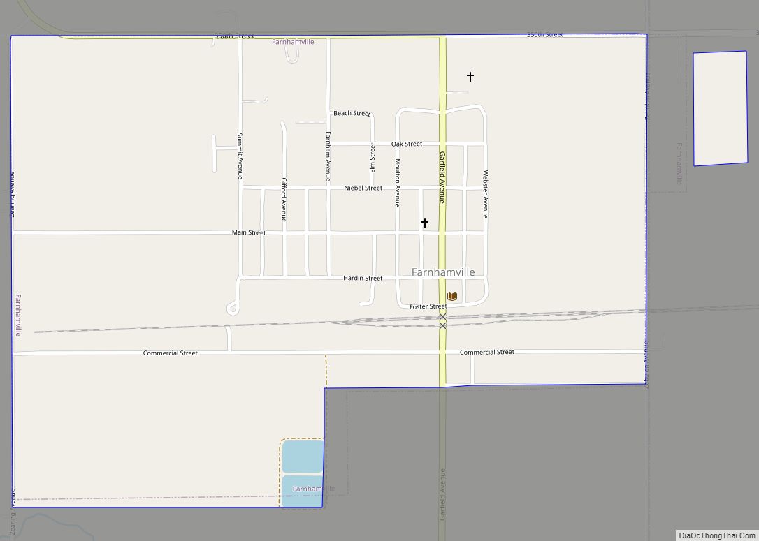
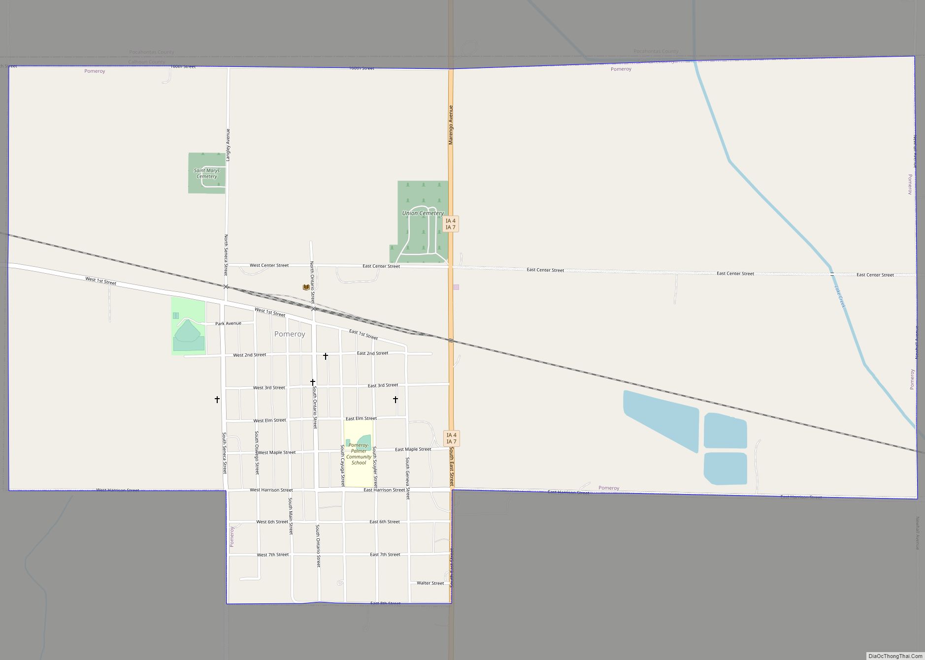
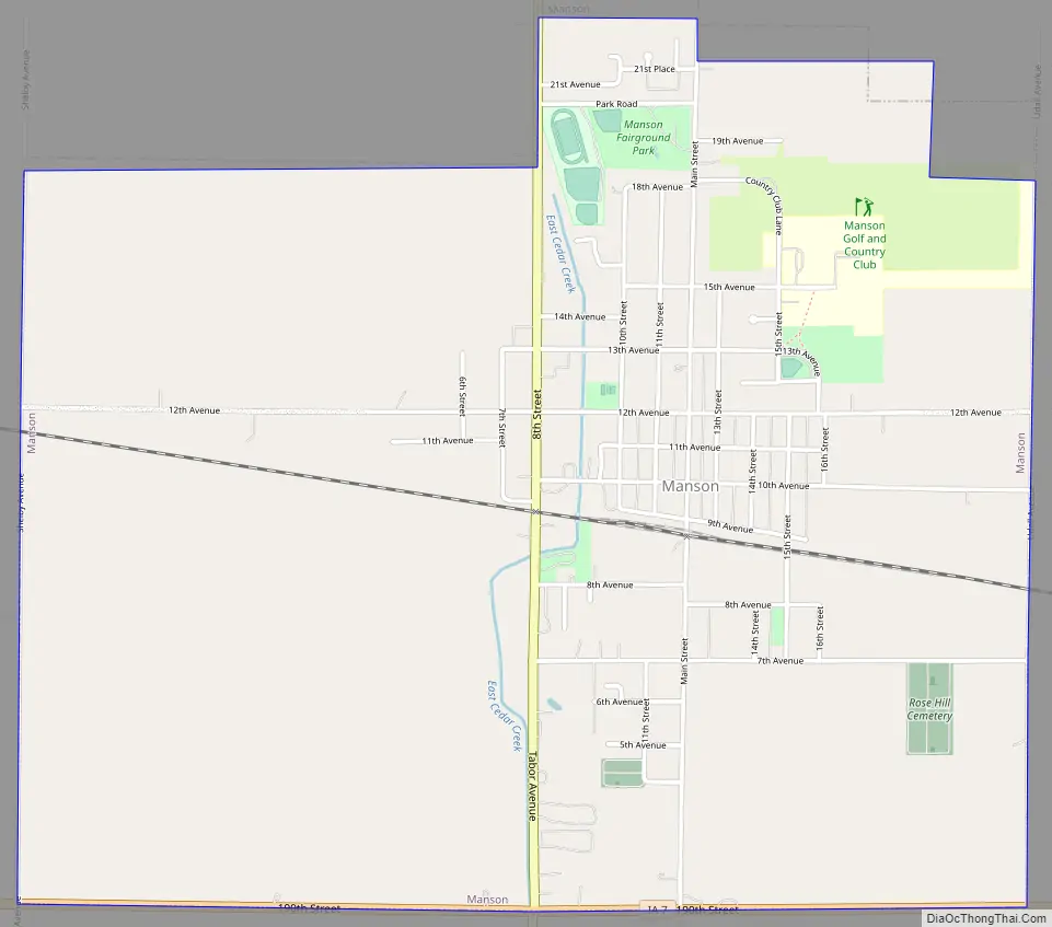
Manson Road Map
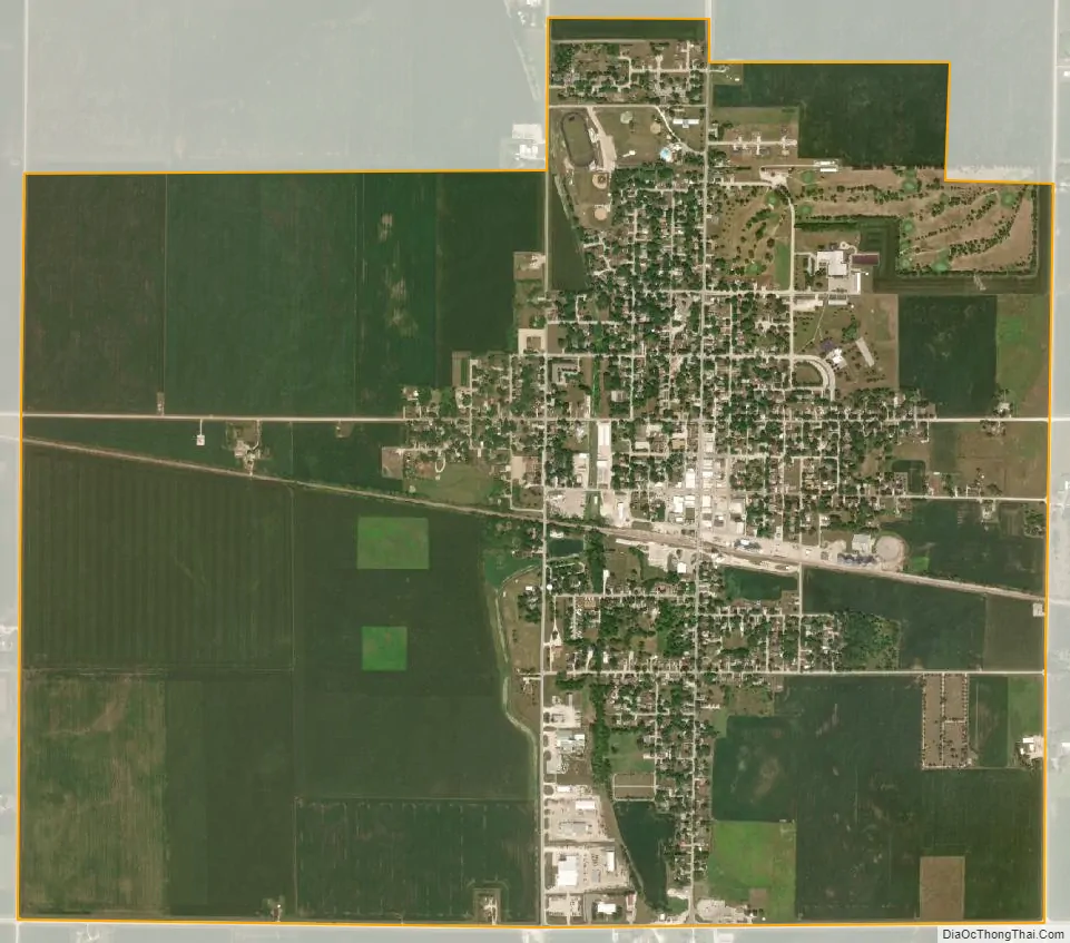
Manson city Satellite Map
Geography
Manson is located at 42°31′50″N 94°32′5″W / 42.53056°N 94.53472°W / 42.53056; -94.53472 (42.530690, -94.534673).
According to the United States Census Bureau, the city has a total area of 3.18 square miles (8.24 km), all land.
Manson impact crater
Manson is located near the site of the Manson crater, formed by a meteorite collision that happened 74 million years ago. The crater’s existence was first discovered during an oil-drilling wildcatting expedition in the 1930s. At one time, it was thought to be the biggest impact by an object from outer space in North America, until subsequent studies revealed larger examples. The impact event was also once theorized to have led to the extinction of the dinosaurs, or contributed to it as a fragment of the Chicxulub meteor, until tests by the U.S. Geological Survey in 1991 and 1992 proved that it was too old by 9 million years.
Not much remains due to glacial till which has filled in the crater and has made it undetectable at ground level. However, due to this infilling it is one of the best preserved impact sites on Earth.
The impact crater measures approximately 24 miles (39 km) in diameter and the city of Manson is located near the center of the impact site.
See also
Map of Iowa State and its subdivision:- Adair
- Adams
- Allamakee
- Appanoose
- Audubon
- Benton
- Black Hawk
- Boone
- Bremer
- Buchanan
- Buena Vista
- Butler
- Calhoun
- Carroll
- Cass
- Cedar
- Cerro Gordo
- Cherokee
- Chickasaw
- Clarke
- Clay
- Clayton
- Clinton
- Crawford
- Dallas
- Davis
- Decatur
- Delaware
- Des Moines
- Dickinson
- Dubuque
- Emmet
- Fayette
- Floyd
- Franklin
- Fremont
- Greene
- Grundy
- Guthrie
- Hamilton
- Hancock
- Hardin
- Harrison
- Henry
- Howard
- Humboldt
- Ida
- Iowa
- Jackson
- Jasper
- Jefferson
- Johnson
- Jones
- Keokuk
- Kossuth
- Lee
- Linn
- Louisa
- Lucas
- Lyon
- Madison
- Mahaska
- Marion
- Marshall
- Mills
- Mitchell
- Monona
- Monroe
- Montgomery
- Muscatine
- O'Brien
- Osceola
- Page
- Palo Alto
- Plymouth
- Pocahontas
- Polk
- Pottawattamie
- Poweshiek
- Ringgold
- Sac
- Scott
- Shelby
- Sioux
- Story
- Tama
- Taylor
- Union
- Van Buren
- Wapello
- Warren
- Washington
- Wayne
- Webster
- Winnebago
- Winneshiek
- Woodbury
- Worth
- Wright
- Alabama
- Alaska
- Arizona
- Arkansas
- California
- Colorado
- Connecticut
- Delaware
- District of Columbia
- Florida
- Georgia
- Hawaii
- Idaho
- Illinois
- Indiana
- Iowa
- Kansas
- Kentucky
- Louisiana
- Maine
- Maryland
- Massachusetts
- Michigan
- Minnesota
- Mississippi
- Missouri
- Montana
- Nebraska
- Nevada
- New Hampshire
- New Jersey
- New Mexico
- New York
- North Carolina
- North Dakota
- Ohio
- Oklahoma
- Oregon
- Pennsylvania
- Rhode Island
- South Carolina
- South Dakota
- Tennessee
- Texas
- Utah
- Vermont
- Virginia
- Washington
- West Virginia
- Wisconsin
- Wyoming