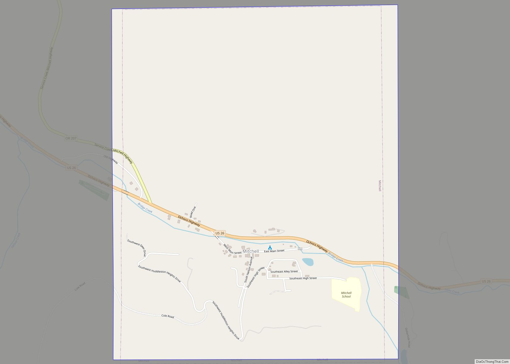
Mitchell is a city in Wheeler County, Oregon, United States. The population was 130 at the 2010 census. It was founded in 1873 and was named after John H. Mitchell, a politician.
The Painted Hills unit of the John Day Fossil Beds National Monument is about 9 miles (14 km) northwest of Mitchell. Mitchell School, a public school with an enrollment of about 70 students, is in Mitchell.
| Name: | Mitchell city |
|---|---|
| LSAD Code: | 25 |
| LSAD Description: | city (suffix) |
| State: | Oregon |
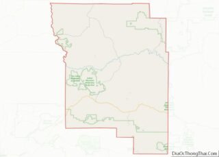
| County: | Wheeler County |
| Incorporated: | 1891; 132 years ago (1891) |
| Elevation: | 2,777 ft (846.4 m) |
| Total Area: | 1.28 sq mi (3.31 km²) |
| Land Area: | 1.28 sq mi (3.31 km²) |
| Water Area: | 0.00 sq mi (0.00 km²) |
| Total Population: | 138 |
| Population Density: | 107.98/sq mi (41.70/km²) |
| ZIP code: | 97750 |
| Area code: | 541 |
| FIPS code: | 4149150 |
| GNISfeature ID: | 1146370 |
Online Interactive Map
Click on ![]() to view map in "full screen" mode.
to view map in "full screen" mode.
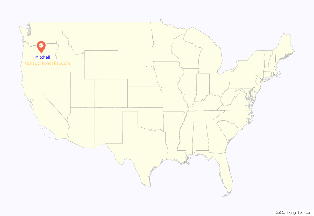
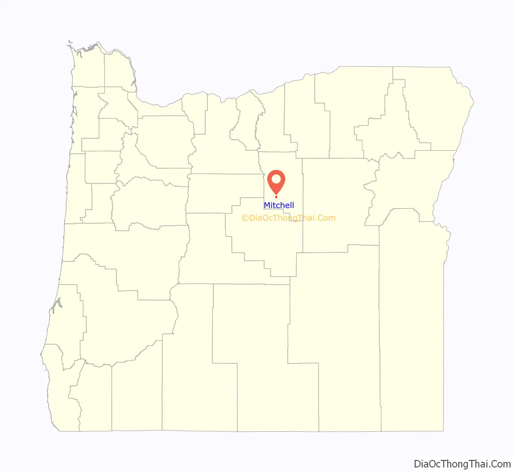
Mitchell location map. Where is Mitchell city?
History
Foundation
At the request of William “Brawdie” Johnson, a blacksmith, a post office was established at Mitchell in 1873. Johnson, the first postmaster, suggested the name Mitchell after John Hipple Mitchell, a U.S. Senator from Oregon. Senator Mitchell held the office in 1873−1879, 1885−1897, and 1901−1905. Platted in 1885, the community was incorporated in 1893.
In 1872 the first school in Wheeler County was established near Mitchell, and in 1874 it was relocated into the town itself.
Early town
Over the next two decades, Mitchell grew to include a store, assay office, two churches, two hotels, livery stable, three houses of ill-repute (one of which is still standing), five saloons, a flour mill, a livery stable, and an apothecary. There were also two newspapers: The Sentinel and The News.
The business district, including the saloons, grew up along Bridge Creek and became known locally as “Tiger Town”. The church and most of the city’s homes were built at higher elevation on a bench overlooking the creek; this part of town was known locally as “Piety Hill”. About half the town was destroyed by fire in 1899, but it was later rebuilt.
Three catastrophic flash floods
Since its founding, Mitchell has experienced three catastrophic flash floods along Bridge Creek, which runs through the center of the city. Flooding caused great damage to the city in 1884 and 1904.
The third flood occurred on July 13, 1956, shortly after an intense thunderstorm in the hills to the south. Bridge Creek is usually less than 12 inches (30 cm) deep during July, but minutes after the thunderstorm a 50-foot (15 m) wall of water surged through Mitchell, destroying or heavily damaging 20 buildings in the city and several bridges over the creek. Eight people were killed including a family of four who were swept away and never recovered.
An observer from the United States Geological Survey estimated that about 4 inches (10 cm) of rain had fallen in about 50 minutes at the storm’s center. Total damage from the flood, which also caused extensive damage to crops and roads in a nearby valley, was US$709,000 (equivalent to about $7,067,000 in 2021).
Oregon’s first fossil
In 2018, a geologist from the University of Oregon found a fossilized toe of a plant-eating dinosaur near Mitchell, where the Pacific Ocean coast lay 100 million years ago. This discovery has been billed as the first dinosaur fossil found in Oregon.
A competing claim involves fossil fragments of a hadrosaur or duck-billed dinosaur found in the Otter Point Formation near the mouth of the Rogue River.
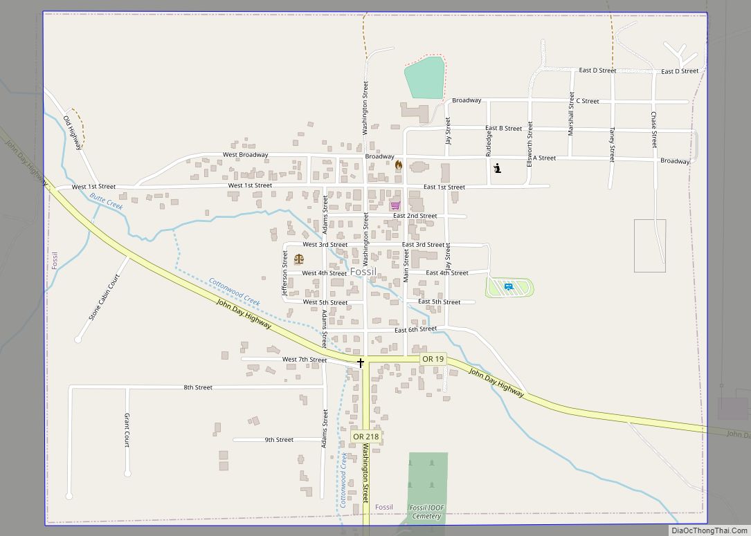
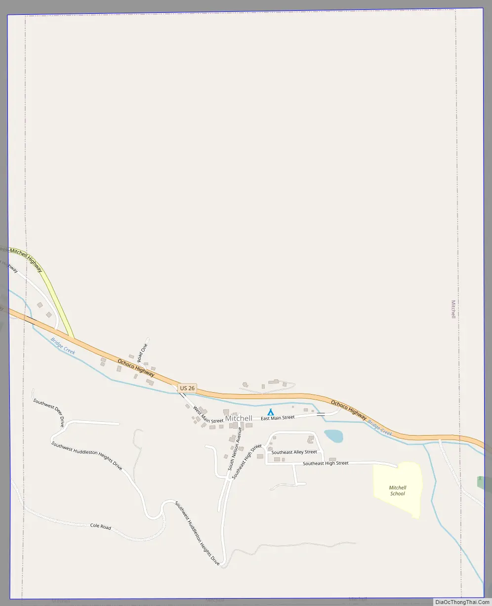
Mitchell Road Map
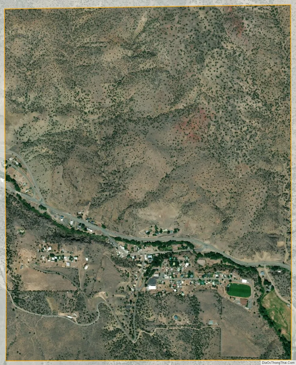
Mitchell city Satellite Map
Geography
Mitchell, in southwestern Wheeler County, is on U.S. Route 26 just east of its intersection with Oregon Route 207. By highway, the city is 47 miles (76 km) east of Prineville and 60 miles (97 km) west of John Day. To the city’s south lie the Ochoco Mountains, the source of Bridge Creek. It flows through Mitchell and then north through the Painted Hills to the John Day River.
Eroded remnants of ancient stratovolcanoes, once the size of Mount Hood are nearby; these include Black Butte and White Butte, visible from town.
According to the United States Census Bureau, the city has a total area of 1.26 square miles (3.26 km), all of it land.
Precipitation in the region is limited by the rain shadow effect of the Cascade Range and the Ochoco Mountains to the west. In winter, much of the precipitation arrives as snow.
See also
Map of Oregon State and its subdivision: Map of other states:- Alabama
- Alaska
- Arizona
- Arkansas
- California
- Colorado
- Connecticut
- Delaware
- District of Columbia
- Florida
- Georgia
- Hawaii
- Idaho
- Illinois
- Indiana
- Iowa
- Kansas
- Kentucky
- Louisiana
- Maine
- Maryland
- Massachusetts
- Michigan
- Minnesota
- Mississippi
- Missouri
- Montana
- Nebraska
- Nevada
- New Hampshire
- New Jersey
- New Mexico
- New York
- North Carolina
- North Dakota
- Ohio
- Oklahoma
- Oregon
- Pennsylvania
- Rhode Island
- South Carolina
- South Dakota
- Tennessee
- Texas
- Utah
- Vermont
- Virginia
- Washington
- West Virginia
- Wisconsin
- Wyoming