Fossil is a city in and the county seat of Wheeler County, Oregon, United States. The name was chosen by the first postmaster, Thomas B. Hoover, who had found some fossil remains on his ranch. The population was 473 at the 2010 census.
| Name: | Fossil city |
|---|---|
| LSAD Code: | 25 |
| LSAD Description: | city (suffix) |
| State: | Oregon |
| County: | Wheeler County |
| Incorporated: | 1891 |
| Elevation: | 2,654 ft (809 m) |
| Total Area: | 0.78 sq mi (2.03 km²) |
| Land Area: | 0.78 sq mi (2.03 km²) |
| Water Area: | 0.00 sq mi (0.00 km²) |
| Total Population: | 447 |
| Population Density: | 570.15/sq mi (220.23/km²) |
| ZIP code: | 97830 |
| Area code: | 541, 458 |
| FIPS code: | 4126650 |
| GNISfeature ID: | 1120903 |
| Website: | www.cityoffossil.org |
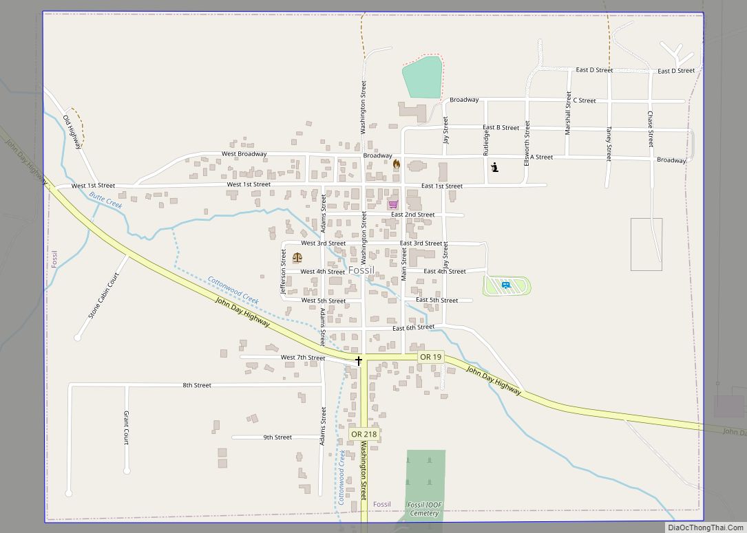
Online Interactive Map
Click on ![]() to view map in "full screen" mode.
to view map in "full screen" mode.
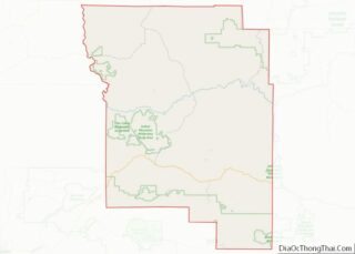
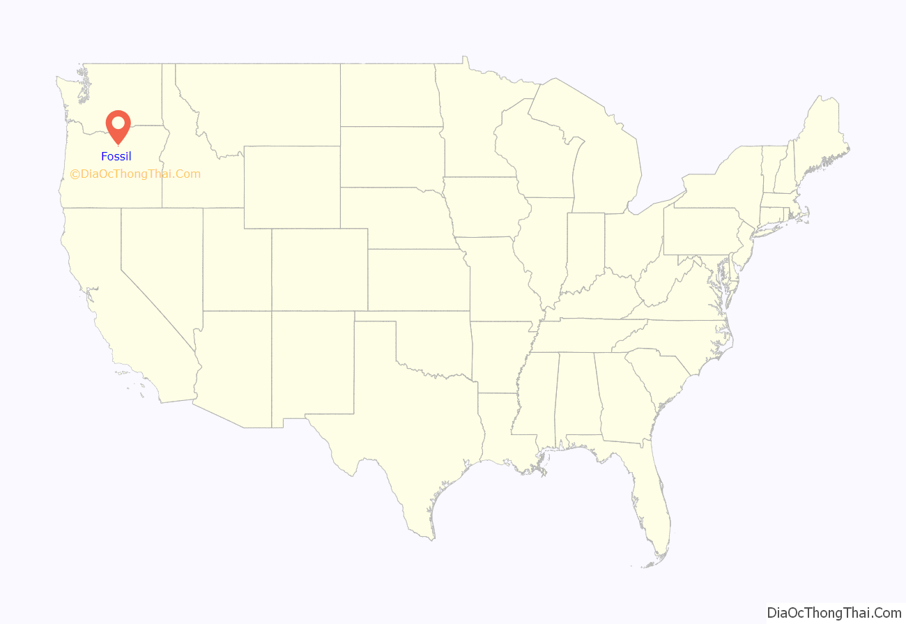
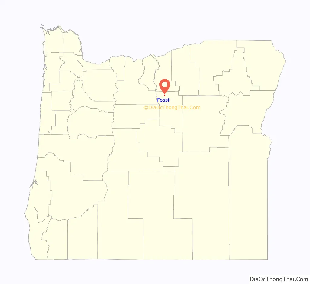
Fossil location map. Where is Fossil city?
History
The Fossil post office was established on February 28, 1876, on Thomas Benton Hoover’s ranch along Hoover Creek. He named the place Fossil after finding fossils in a clay-like rock formation on his ranch. In 1881, Hoover and Thomas Watson opened a store near the confluence of Butte and Cottonwood creeks and moved the post office to the store. When the city was incorporated in 1891, Hoover became the first mayor.
After creating Wheeler County in 1899, the Oregon Legislature chose Fossil as the temporary county seat. A county-wide election held in 1900 to determine the permanent county seat yielded 436 votes for Fossil, 267 for Twickenham, and 82 for Spray.
Winlock W. Steiwer and George S. Carpenter founded Steiwer & Carpenter Bank, the first bank in the city and the county. By the early 20th century in addition to the bank, Fossil had a flour mill, a blacksmith shop, a drug store, a jewelry and optical store, a livery stable, and three stores with general merchandise. In the 1920s, William Jennings Bryan was one of the guest speakers at a Chautauqua meeting in Fossil. Later in the decade the John Day Valley Coal & Oil Company drilled an exploratory oil well within the city limits, but it was not successful.
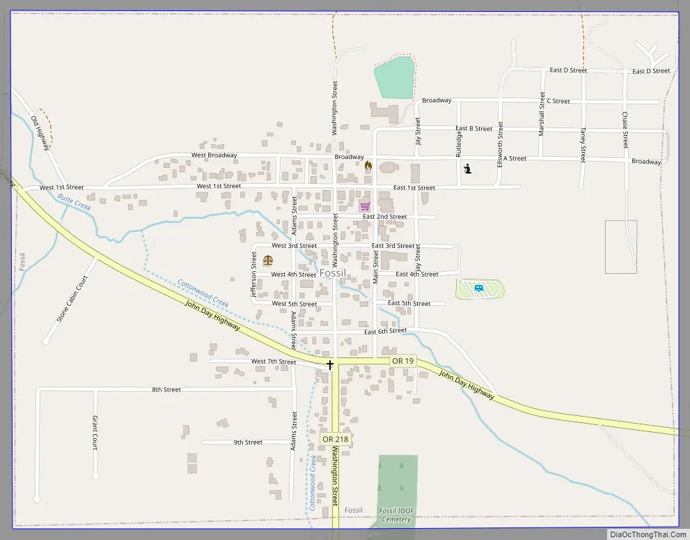
Fossil Road Map
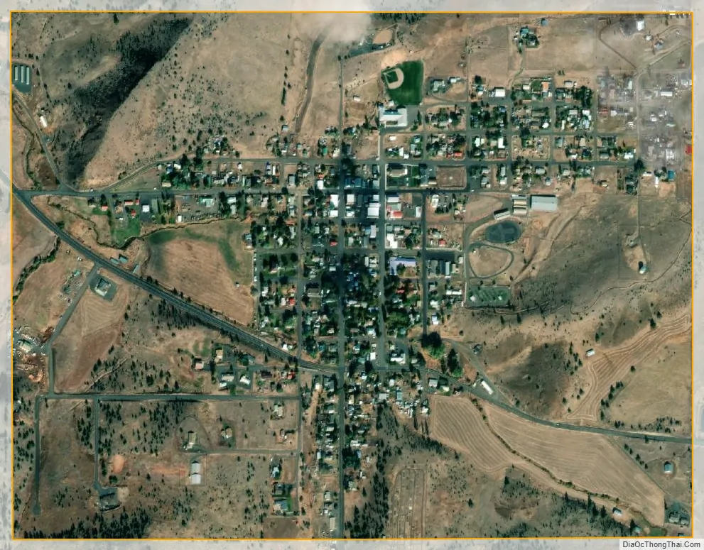
Fossil city Satellite Map
Geography
Fossil is the county seat of Wheeler County. According to the United States Census Bureau, the city has a total area of 0.79 square miles (2.05 km), all of it land.
Fossil is located in north-central Oregon at the intersection of Oregon Route 19 with Oregon Route 218. Butte Creek, a tributary of the John Day River, flows through the city. The Clarno Unit of the John Day Fossil Beds National Monument is 18 miles (29 km) west of the city along Route 218. The city is about 30 miles (48 km) northwest of Spray and about 20 miles (32 km) south of Condon along Route 19. By highway, Bend, to the southwest, is about a two-hour drive from Fossil, and Portland, to the west, is about a three-hour drive.
The average temperature in Fossil in January is 34.0 °F or 1.1 °C, and in August it is 64.5 °F or 18.1 °C. The highest recorded temperature for Fossil was 111 °F (43.9 °C) on July 29, 2003, while the lowest recorded temperature was −26 °F (−32.2 °C) on January 26, 1957. According to the Köppen climate classification system, Fossil has a warm-summer Mediterranean climate (Köppen Csb).
See also
Map of Oregon State and its subdivision: Map of other states:- Alabama
- Alaska
- Arizona
- Arkansas
- California
- Colorado
- Connecticut
- Delaware
- District of Columbia
- Florida
- Georgia
- Hawaii
- Idaho
- Illinois
- Indiana
- Iowa
- Kansas
- Kentucky
- Louisiana
- Maine
- Maryland
- Massachusetts
- Michigan
- Minnesota
- Mississippi
- Missouri
- Montana
- Nebraska
- Nevada
- New Hampshire
- New Jersey
- New Mexico
- New York
- North Carolina
- North Dakota
- Ohio
- Oklahoma
- Oregon
- Pennsylvania
- Rhode Island
- South Carolina
- South Dakota
- Tennessee
- Texas
- Utah
- Vermont
- Virginia
- Washington
- West Virginia
- Wisconsin
- Wyoming