Haleyville is a city in Winston and Marion counties in the U.S. state of Alabama. It incorporated on February 28, 1889. Most of the city is located in Winston County, with a small portion of the western limits entering Marion County. Haleyville was originally named “Davis Cross Roads”, having been established at the crossroads of Byler Road and the Illinois Central Railroad. At the 2020 census the population was 4,361, up from 4,173 at the 2010 census.
| Name: | Haleyville city |
|---|---|
| LSAD Code: | 25 |
| LSAD Description: | city (suffix) |
| State: | Alabama |
| County: | Marion County, Winston County |
| Elevation: | 942 ft (287 m) |
| Total Area: | 8.43 sq mi (21.8 km²) |
| Land Area: | 8.38 sq mi (21.7 km²) |
| Water Area: | 0.05 sq mi (0.1 km²) |
| Total Population: | 4,361 |
| Population Density: | 520.22/sq mi (200.86/km²) |
| ZIP code: | 35565 |
| Area code: | 205, 659 |
| FIPS code: | 0132704 |
| GNISfeature ID: | 0119567 |
| Website: | www.cityofhaleyville.com |
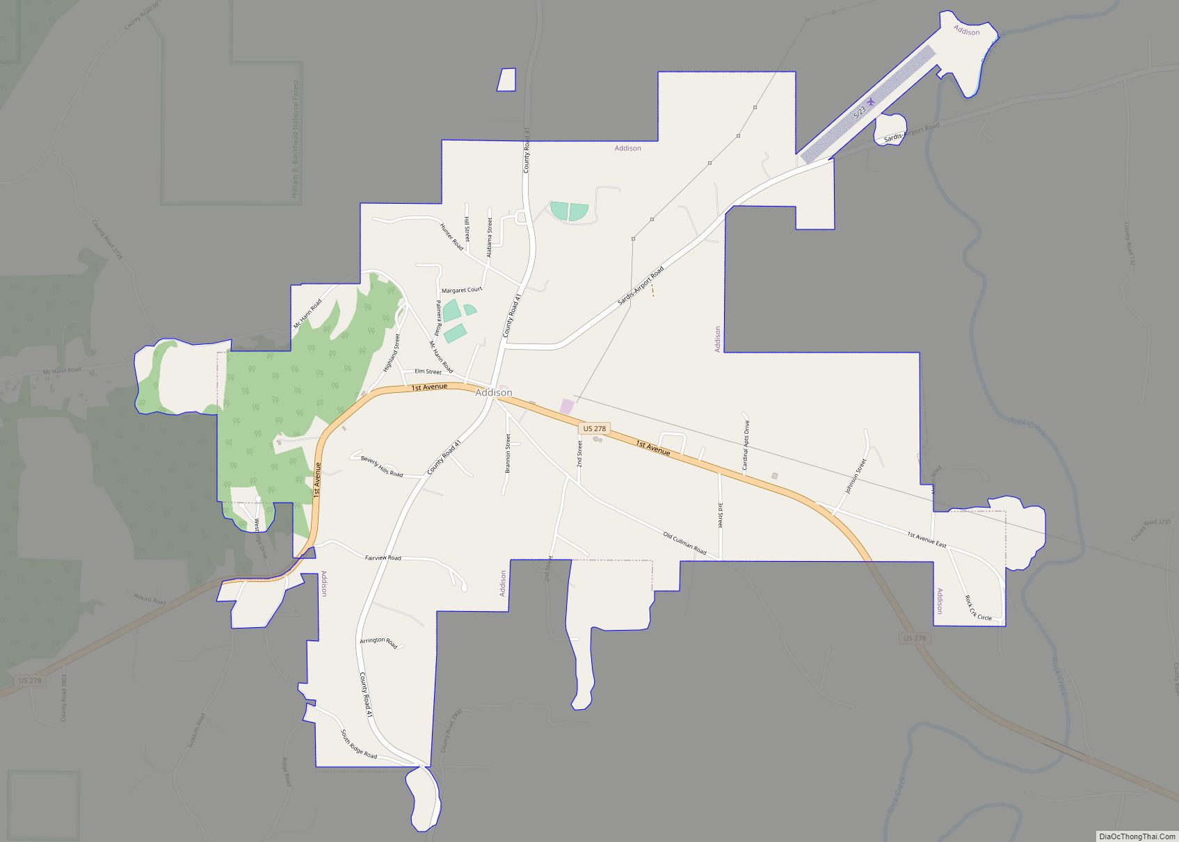
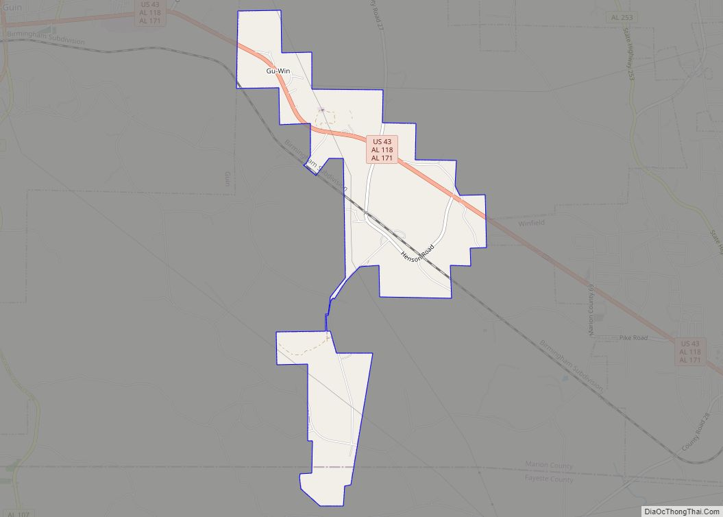
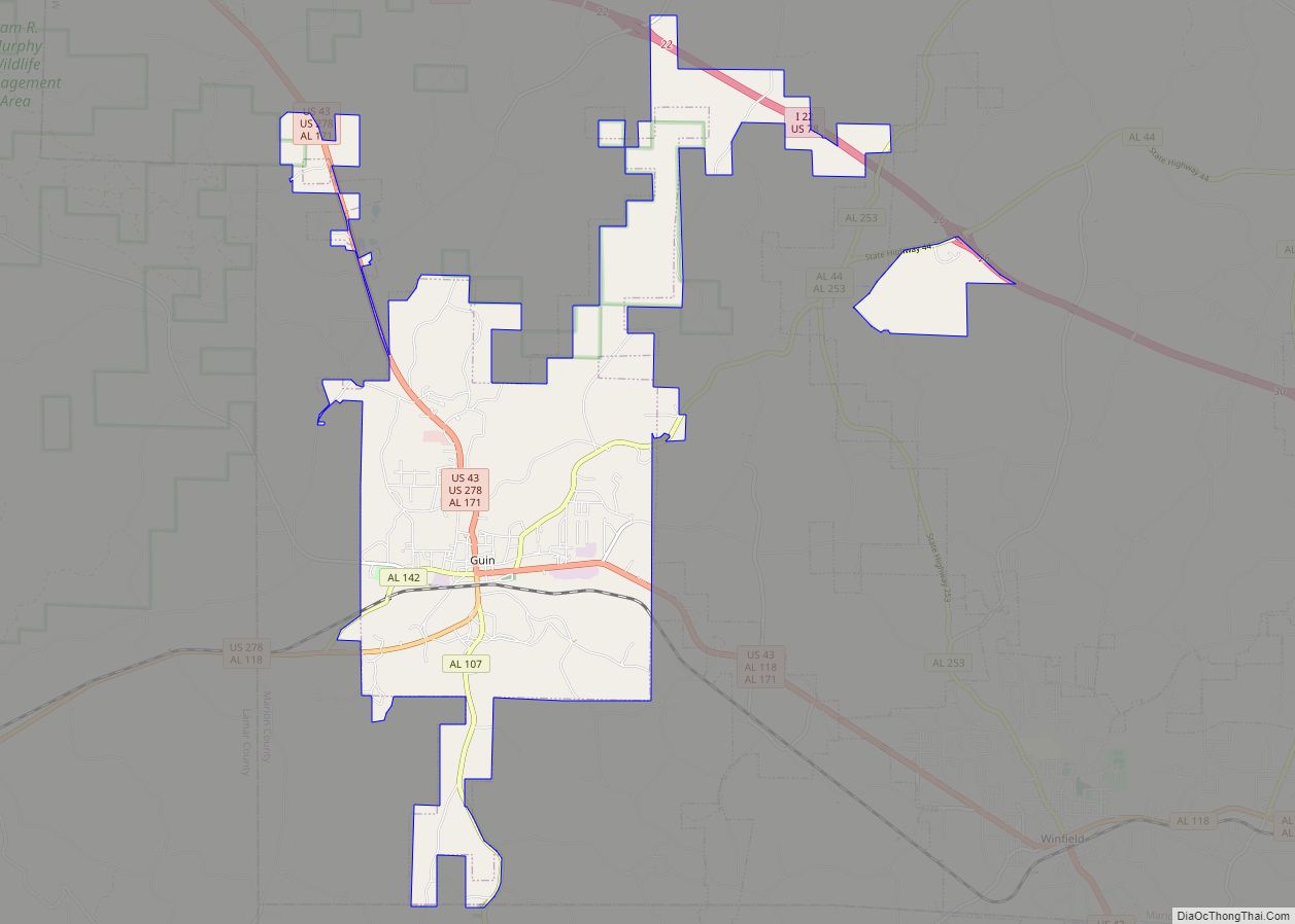
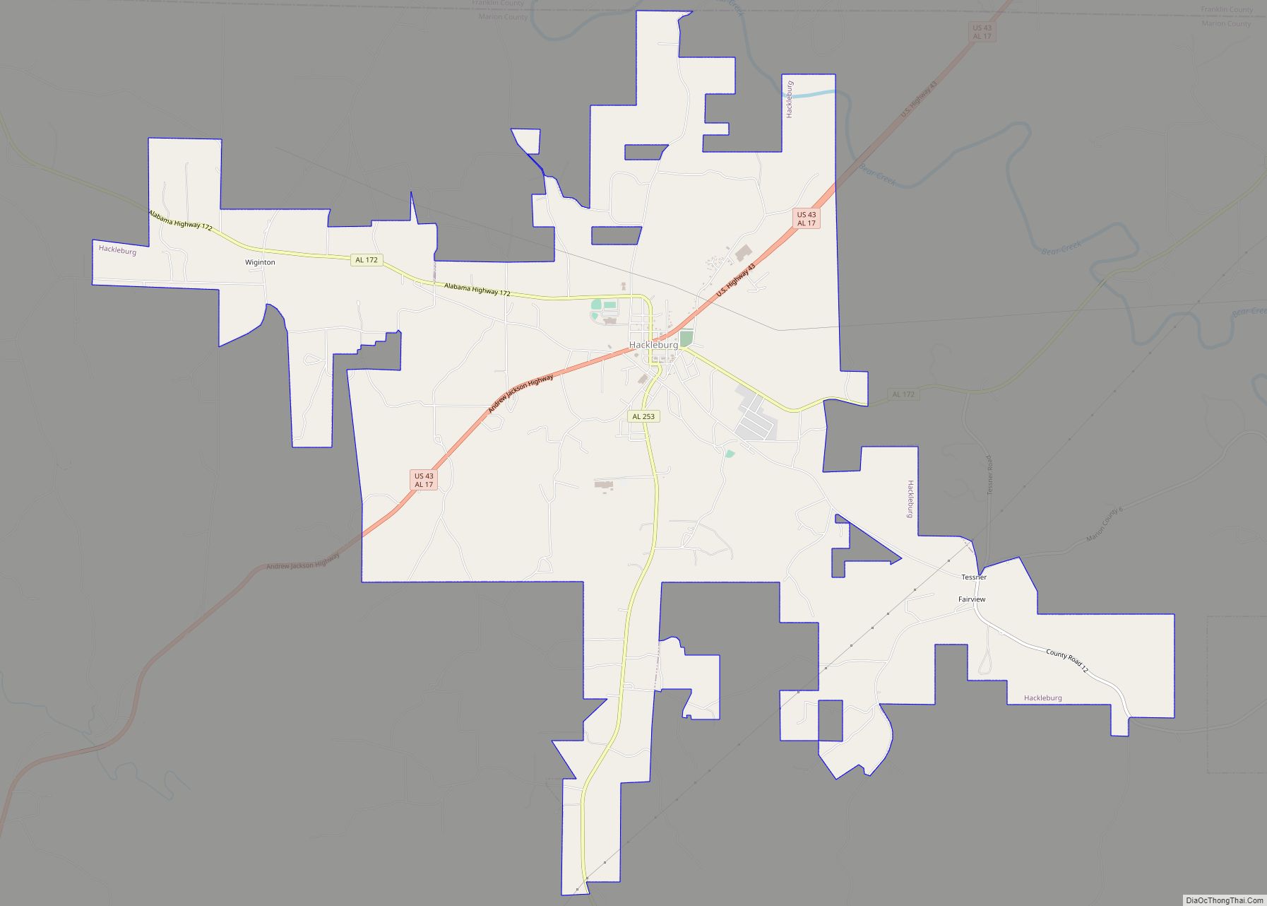
Online Interactive Map
Click on ![]() to view map in "full screen" mode.
to view map in "full screen" mode.
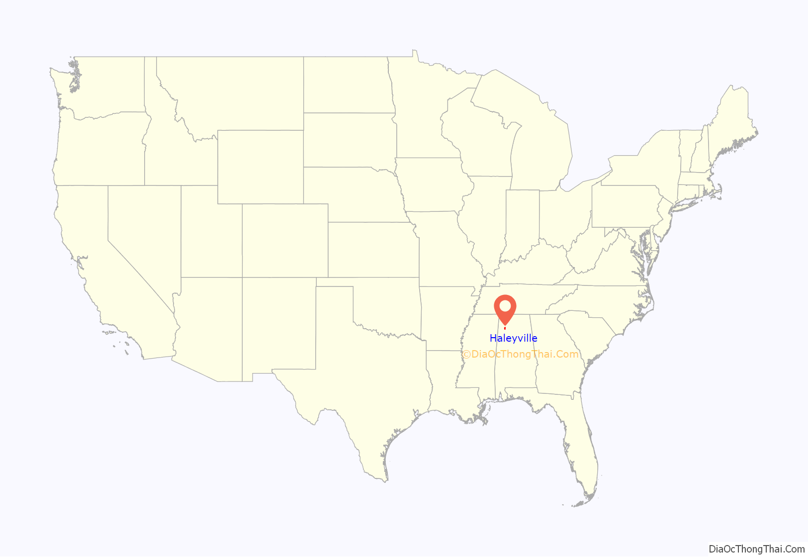
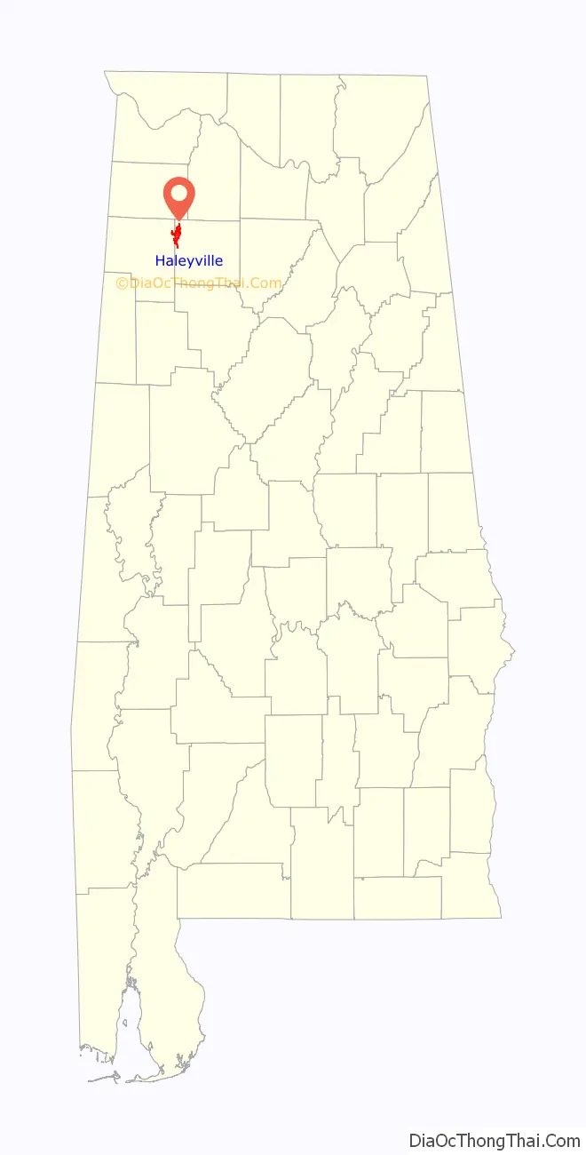
Haleyville location map. Where is Haleyville city?
History
The first Guthrie’s restaurant was opened by Hal Guthrie in Haleyville in 1965.
On February 16, 1968, the first 9-1-1 emergency telephone system in the nation went into service in Haleyville.
On June 1, 2010, Haleyville citizens voted to become the first city in Winston County since Prohibition to allow the sale of alcohol.
The city has one site listed on the National Register of Historic Places, the former Feldman’s Department Store, and is the closest city to another site, Archeological Site No. 1WI50.
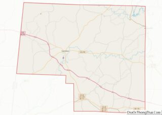
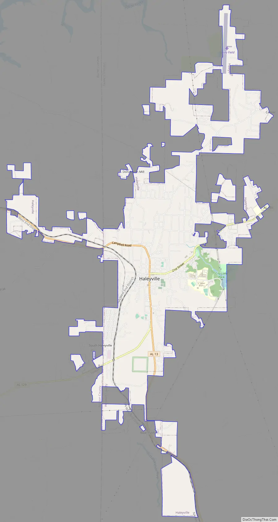
Haleyville Road Map
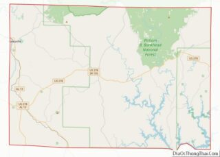
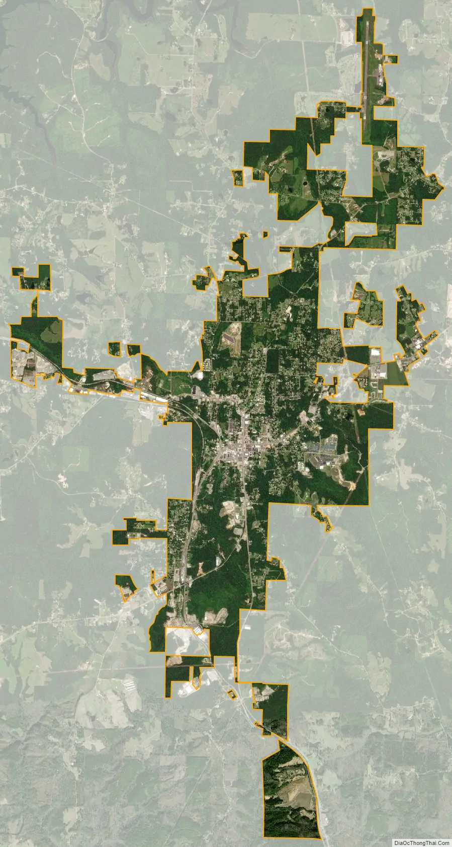
Haleyville city Satellite Map
Geography
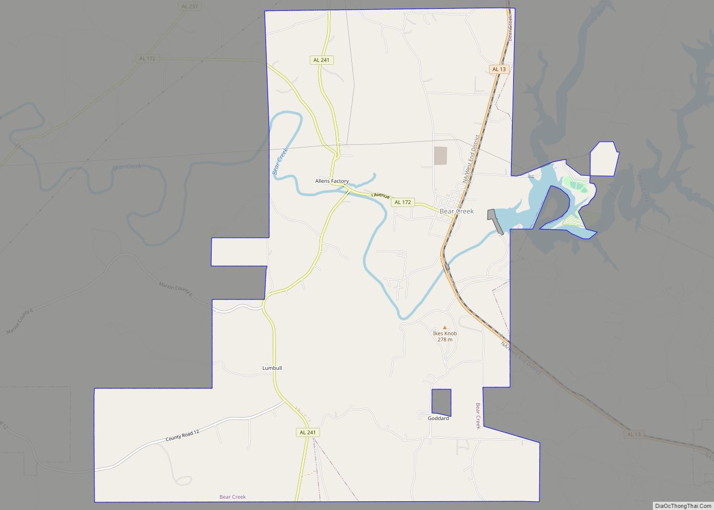
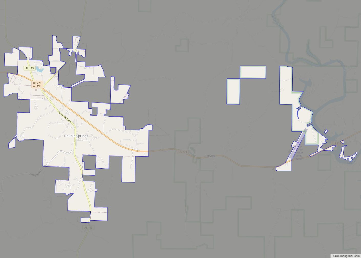
Haleyville is located in northwestern Winston County and northeastern Marion County at 34°13′48″N 87°37′8″W / 34.23000°N 87.61889°W / 34.23000; -87.61889 (34.230131, -87.618978). It is 6 miles (10 km) east of Bear Creek, 14 miles (23 km) north of Lynn, 19 miles (31 km) northwest of Double Springs, the Winston county seat, and 25 miles (40 km) northeast of Hamilton, the Marion county seat.
According to the U.S. Census Bureau, the city has a total area of 8.4 square miles (22 km), of which 0.05 square miles (0.13 km), or 0.60%, are water. The city sits on the Tennessee Valley Divide, with the north half of the town draining into tributaries of the Tennessee River, the southwest quarter draining to tributaries of the Tombigbee River, and the southeast quarter draining to tributaries of the Black Warrior River.
Northwest Alabama is in the foothills of the southwest end of the Appalachian Mountains, so Haleyville is hilly. The soil there, made of sand and clay combined, is very sensitive to water, so there are many creeks and little valleys. This is especially noticeable at the city lake, which is surrounded by hills.
Climate
See also
Map of Alabama State and its subdivision:- Autauga
- Baldwin
- Barbour
- Bibb
- Blount
- Bullock
- Butler
- Calhoun
- Chambers
- Cherokee
- Chilton
- Choctaw
- Clarke
- Clay
- Cleburne
- Coffee
- Colbert
- Conecuh
- Coosa
- Covington
- Crenshaw
- Cullman
- Dale
- Dallas
- De Kalb
- Elmore
- Escambia
- Etowah
- Fayette
- Franklin
- Geneva
- Greene
- Hale
- Henry
- Houston
- Jackson
- Jefferson
- Lamar
- Lauderdale
- Lawrence
- Lee
- Limestone
- Lowndes
- Macon
- Madison
- Marengo
- Marion
- Marshall
- Mobile
- Monroe
- Montgomery
- Morgan
- Perry
- Pickens
- Pike
- Randolph
- Russell
- Saint Clair
- Shelby
- Sumter
- Talladega
- Tallapoosa
- Tuscaloosa
- Walker
- Washington
- Wilcox
- Winston
- Alabama
- Alaska
- Arizona
- Arkansas
- California
- Colorado
- Connecticut
- Delaware
- District of Columbia
- Florida
- Georgia
- Hawaii
- Idaho
- Illinois
- Indiana
- Iowa
- Kansas
- Kentucky
- Louisiana
- Maine
- Maryland
- Massachusetts
- Michigan
- Minnesota
- Mississippi
- Missouri
- Montana
- Nebraska
- Nevada
- New Hampshire
- New Jersey
- New Mexico
- New York
- North Carolina
- North Dakota
- Ohio
- Oklahoma
- Oregon
- Pennsylvania
- Rhode Island
- South Carolina
- South Dakota
- Tennessee
- Texas
- Utah
- Vermont
- Virginia
- Washington
- West Virginia
- Wisconsin
- Wyoming