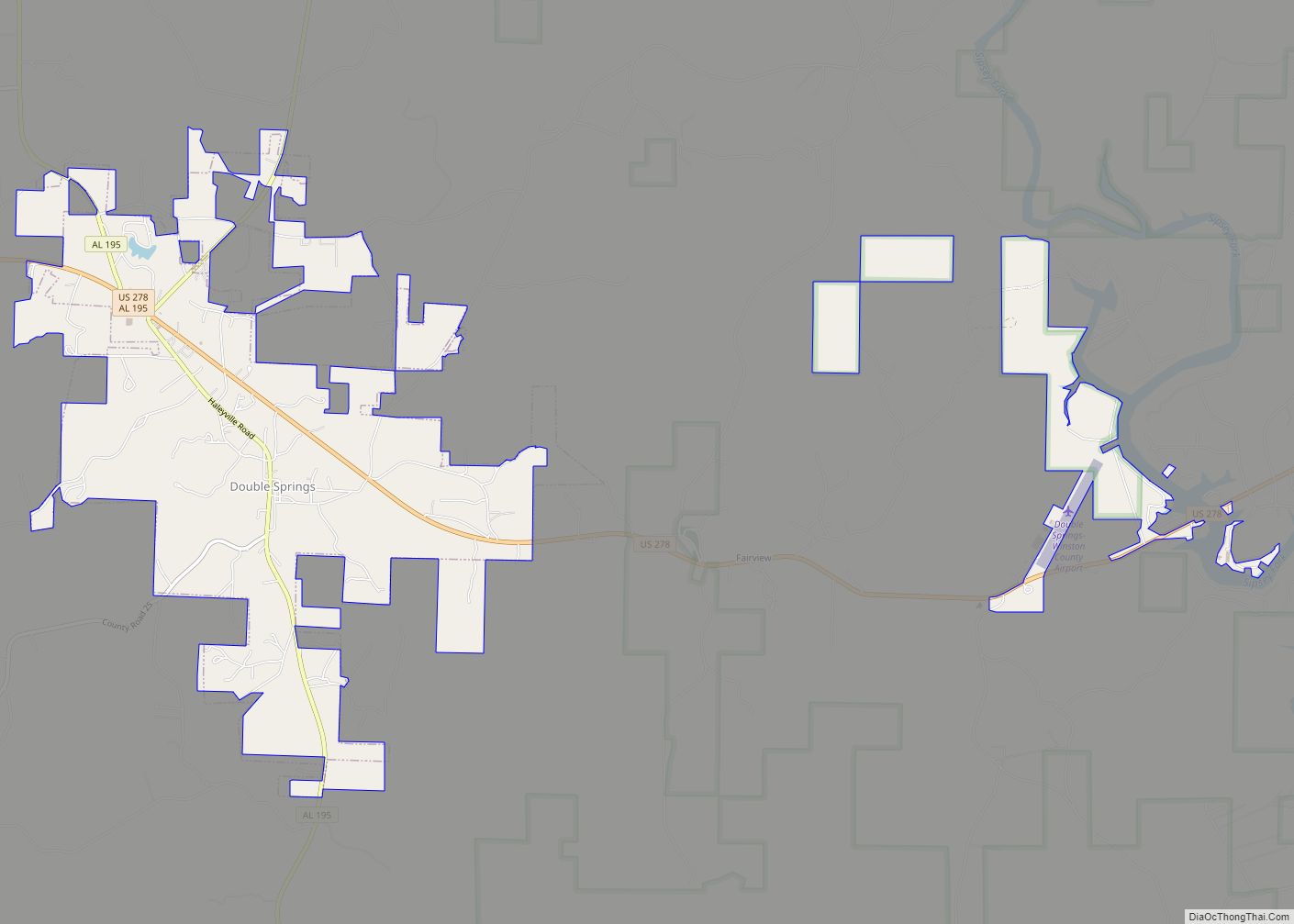
Double Springs is a town in Winston County, Alabama, United States. The city is the county seat of Winston County. The county seat was initially located at Houston, but by referendum in 1883, Double Springs prevailed and it was removed to there. It was incorporated on May 17, 1943. At the 2010 census the population was 1,083, up from 1,003 in 2000.
| Name: | Double Springs town |
|---|---|
| LSAD Code: | 43 |
| LSAD Description: | town (suffix) |
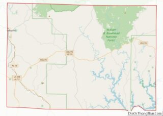
| State: | Alabama |
| County: | Winston County |
| Elevation: | 823 ft (251 m) |
| Total Area: | 5.14 sq mi (13.31 km²) |
| Land Area: | 5.12 sq mi (13.25 km²) |
| Water Area: | 0.02 sq mi (0.06 km²) |
| Total Population: | 1,119 |
| Population Density: | 218.64/sq mi (84.42/km²) |
| ZIP code: | 35553 |
| Area code: | 205, 659 |
| FIPS code: | 0121280 |
| GNISfeature ID: | 0159511 |
| Website: | www.townofdoublesprings.com |
Online Interactive Map
Click on ![]() to view map in "full screen" mode.
to view map in "full screen" mode.
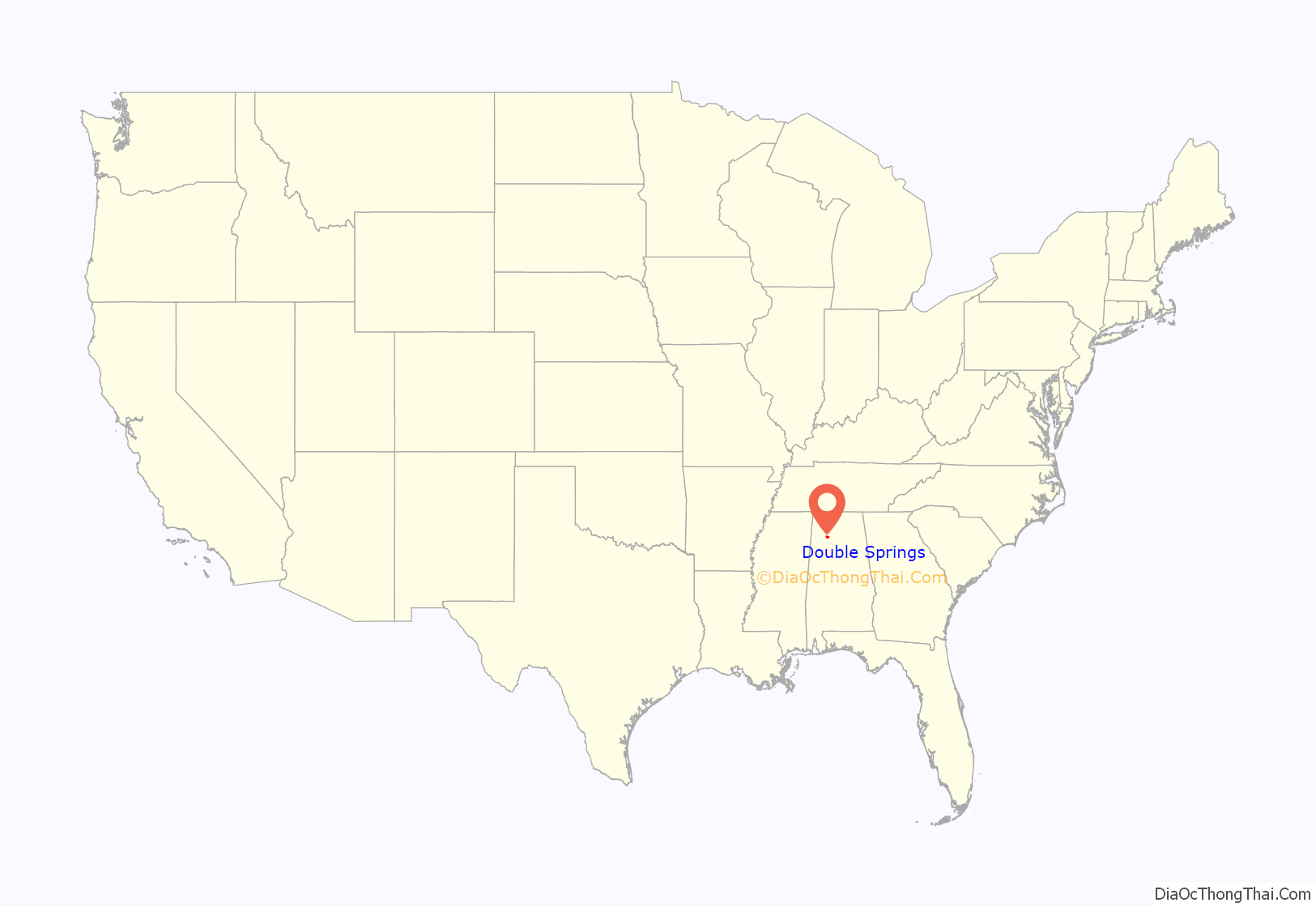
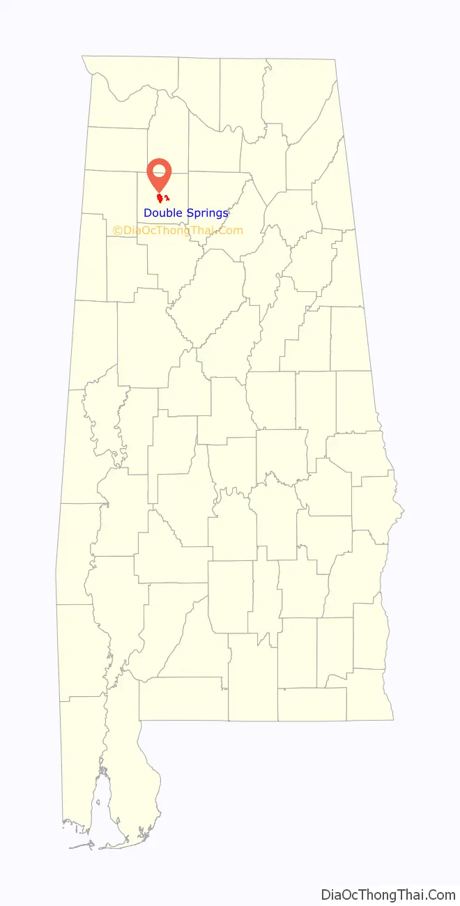
Double Springs location map. Where is Double Springs town?
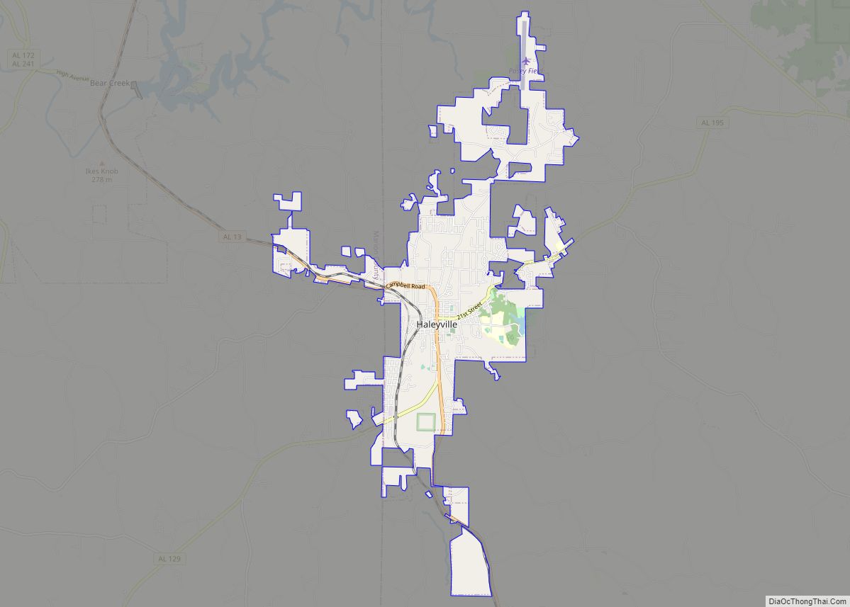
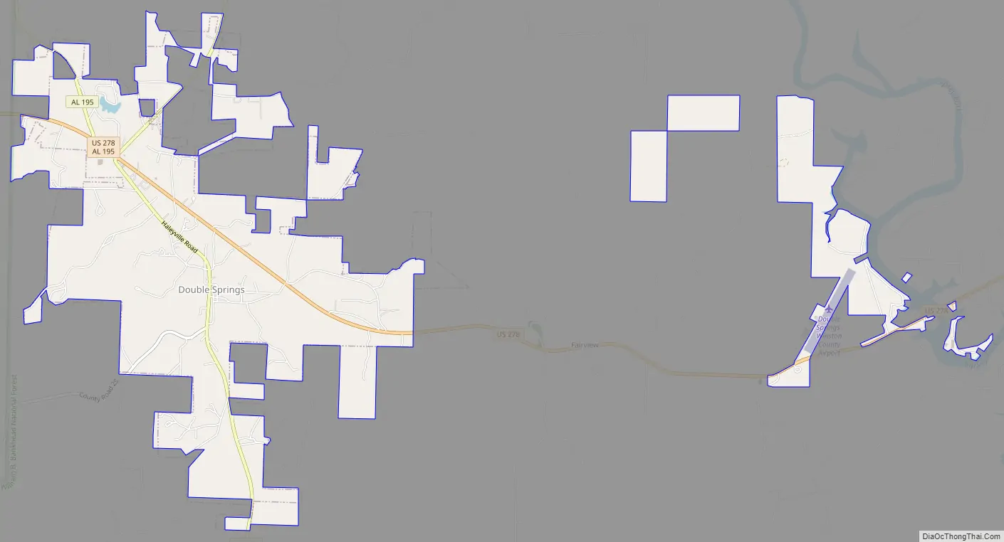
Double Springs Road Map
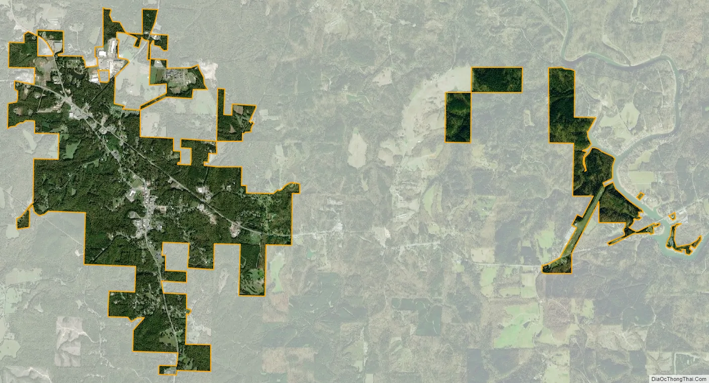
Double Springs city Satellite Map
Geography
Double Springs is located at 34°9′6″N 87°24′16″W / 34.15167°N 87.40444°W / 34.15167; -87.40444 (34.151642, -87.404390).
According to the U.S. Census Bureau, the town has a total area of 3.9 square miles (10 km), all land.
Climate
According to the Köppen climate classification, Double Springs has a humid subtropical climate (abbreviated Cfa).
See also
Map of Alabama State and its subdivision:- Autauga
- Baldwin
- Barbour
- Bibb
- Blount
- Bullock
- Butler
- Calhoun
- Chambers
- Cherokee
- Chilton
- Choctaw
- Clarke
- Clay
- Cleburne
- Coffee
- Colbert
- Conecuh
- Coosa
- Covington
- Crenshaw
- Cullman
- Dale
- Dallas
- De Kalb
- Elmore
- Escambia
- Etowah
- Fayette
- Franklin
- Geneva
- Greene
- Hale
- Henry
- Houston
- Jackson
- Jefferson
- Lamar
- Lauderdale
- Lawrence
- Lee
- Limestone
- Lowndes
- Macon
- Madison
- Marengo
- Marion
- Marshall
- Mobile
- Monroe
- Montgomery
- Morgan
- Perry
- Pickens
- Pike
- Randolph
- Russell
- Saint Clair
- Shelby
- Sumter
- Talladega
- Tallapoosa
- Tuscaloosa
- Walker
- Washington
- Wilcox
- Winston
- Alabama
- Alaska
- Arizona
- Arkansas
- California
- Colorado
- Connecticut
- Delaware
- District of Columbia
- Florida
- Georgia
- Hawaii
- Idaho
- Illinois
- Indiana
- Iowa
- Kansas
- Kentucky
- Louisiana
- Maine
- Maryland
- Massachusetts
- Michigan
- Minnesota
- Mississippi
- Missouri
- Montana
- Nebraska
- Nevada
- New Hampshire
- New Jersey
- New Mexico
- New York
- North Carolina
- North Dakota
- Ohio
- Oklahoma
- Oregon
- Pennsylvania
- Rhode Island
- South Carolina
- South Dakota
- Tennessee
- Texas
- Utah
- Vermont
- Virginia
- Washington
- West Virginia
- Wisconsin
- Wyoming