Yankton is a city in and the county seat of Yankton County, South Dakota, United States.
The population was 15,411 at the 2020 census, and it is the principal city of the Yankton Micropolitan Statistical Area, which includes the entirety of Yankton County and which had an estimated population of 23,297 as of July 1, 2021. As the first capital of Dakota Territory, it was named after the Yankton tribe of Western Dakota people; Yankton is derived from the Dakota word I-hank-ton-wan (“the end village”).
Yankton is located on the Missouri River just downstream of the Gavins Point Dam and Lewis and Clark Lake, and just upstream of the confluence with the James River. The United States National Park Service’s headquarters for the Missouri National Recreational River are located in the city. The Human Services Center was established as a psychiatric hospital in 1882 and is on the National Register of Historic Places.
Yankton is commonly referred to as the “River City”, due to its proximity to the Missouri River and the importance the river played in the city’s settlement and development. Yankton has also earned the nickname “Mother City of the Dakotas”, due to the early important role it played in the creation and development of the Dakota Territory, which later became the 39th and 40th U.S. states of North and South Dakota.
Owing to the early exploitation of Fort Hays Limestone for cement manufacture, including shipment of cement to the construction of the Panama Canal, Yankton once also had the nickname “Cement City”.
| Name: | Yankton city |
|---|---|
| LSAD Code: | 25 |
| LSAD Description: | city (suffix) |
| State: | South Dakota |
| County: | Yankton County |
| Incorporated: | 1869 |
| Elevation: | 1,211 ft (369 m) |
| Land Area: | 8.67 sq mi (22.45 km²) |
| Water Area: | 0.24 sq mi (0.62 km²) |
| Population Density: | 1,777.51/sq mi (686.31/km²) |
| ZIP code: | 57078-57079 |
| Area code: | 605 |
| FIPS code: | 4673060 |
| GNISfeature ID: | 1259091 |
| Website: | cityofyankton.org |
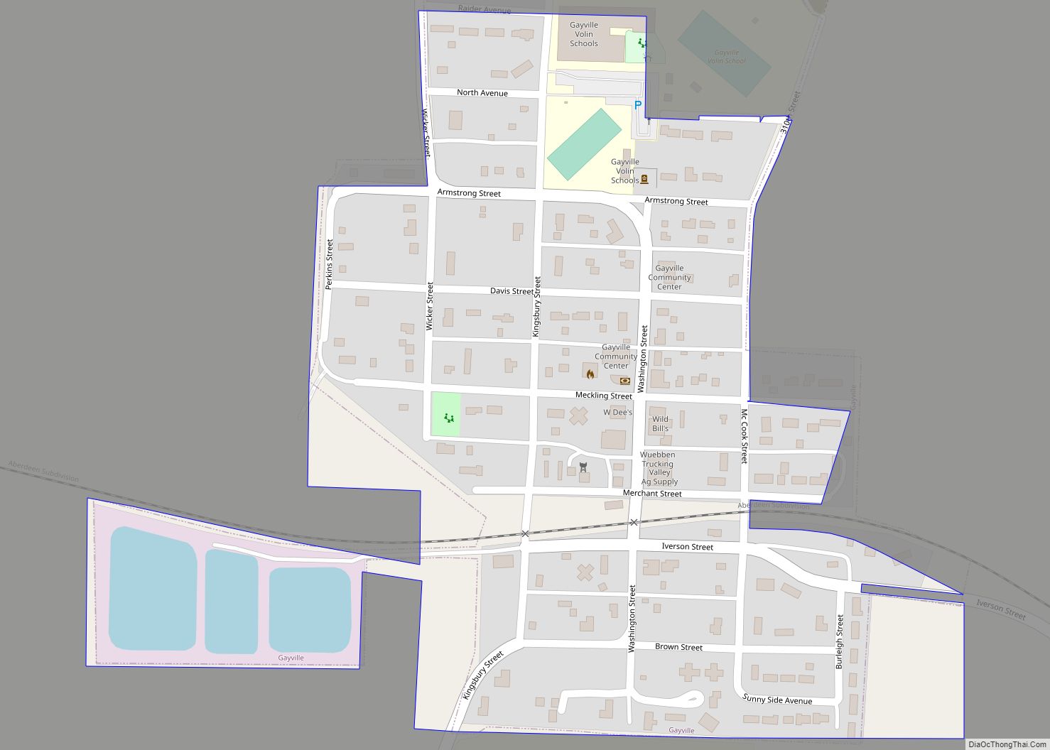
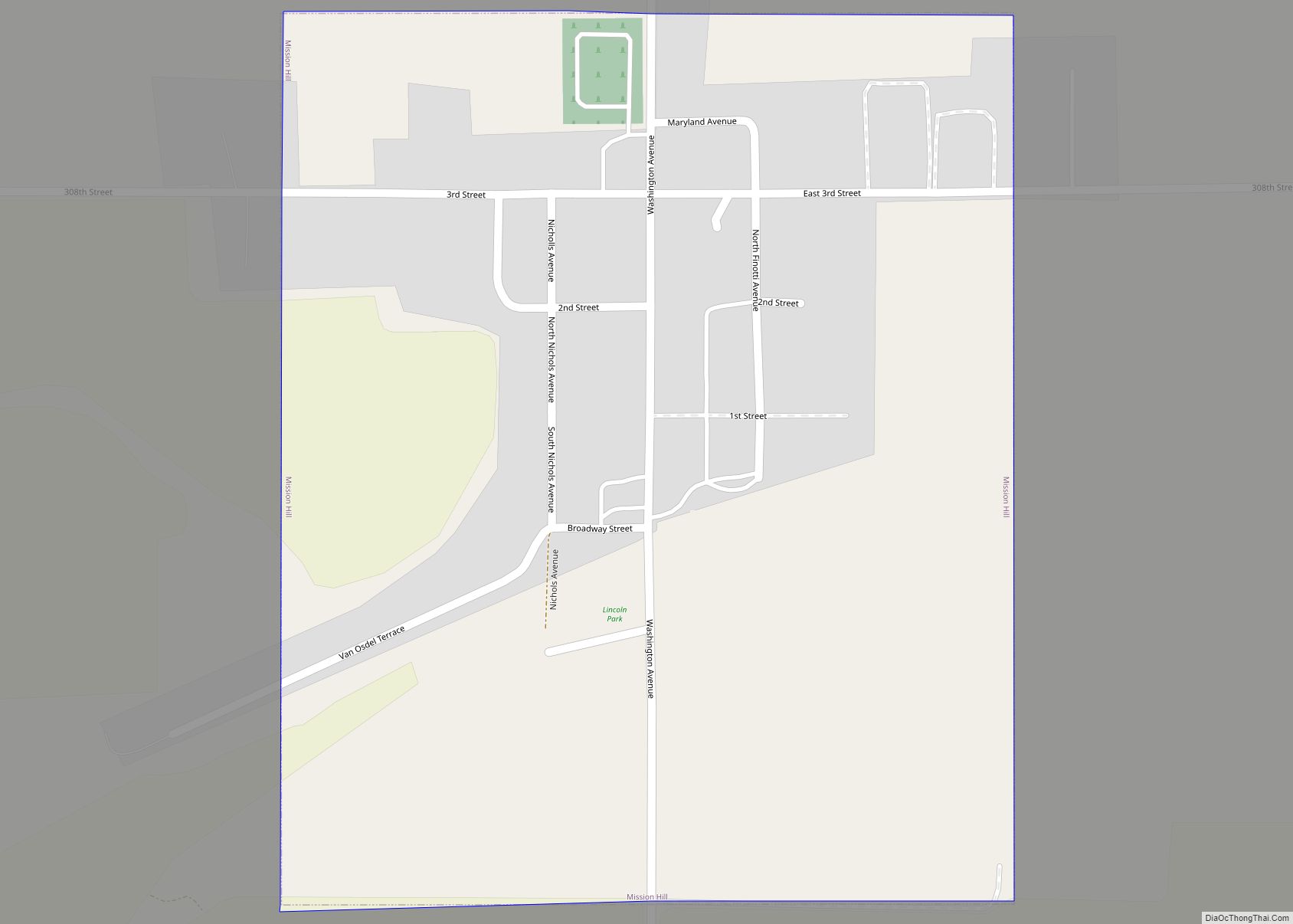
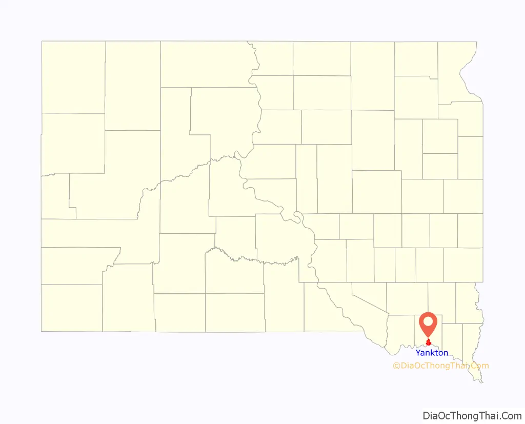
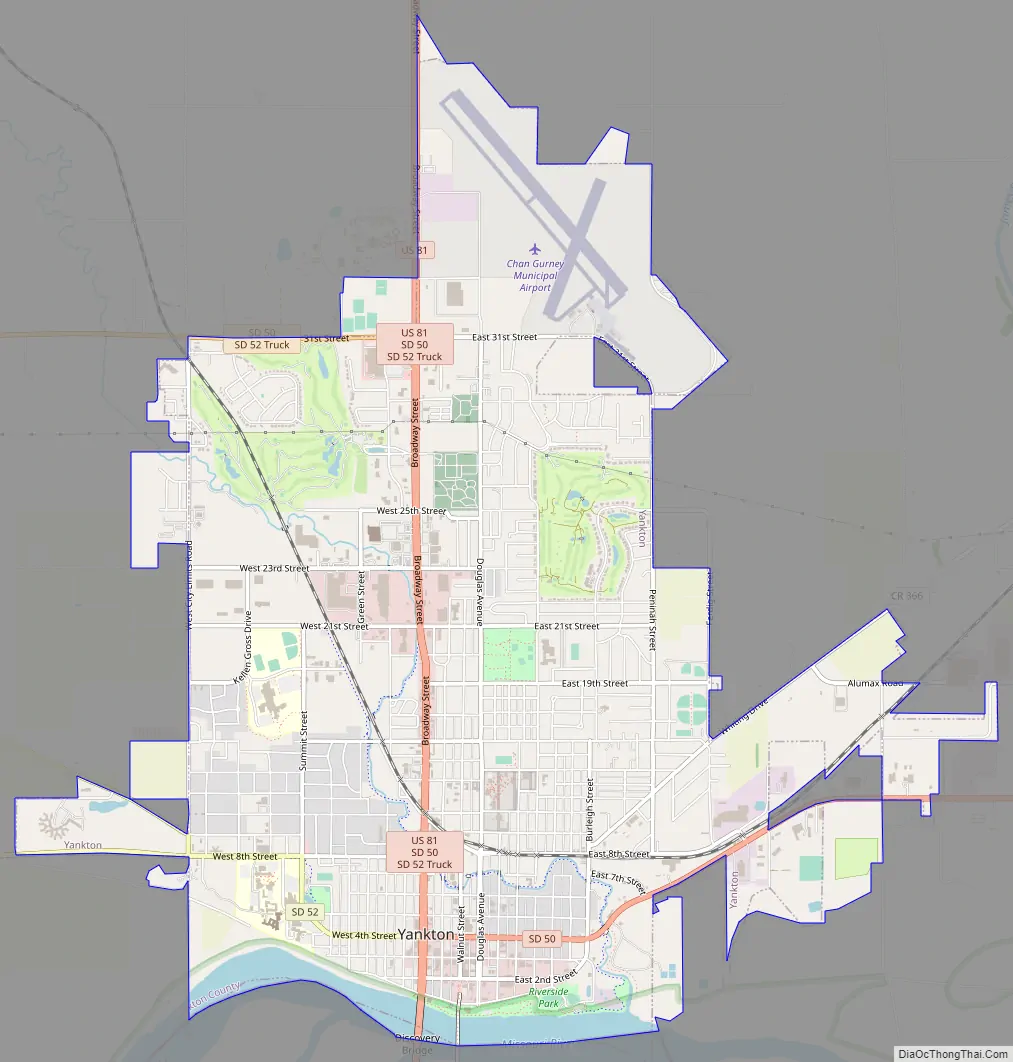
Online Interactive Map
Click on ![]() to view map in "full screen" mode.
to view map in "full screen" mode.
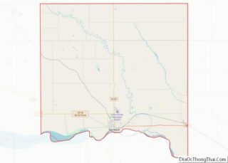
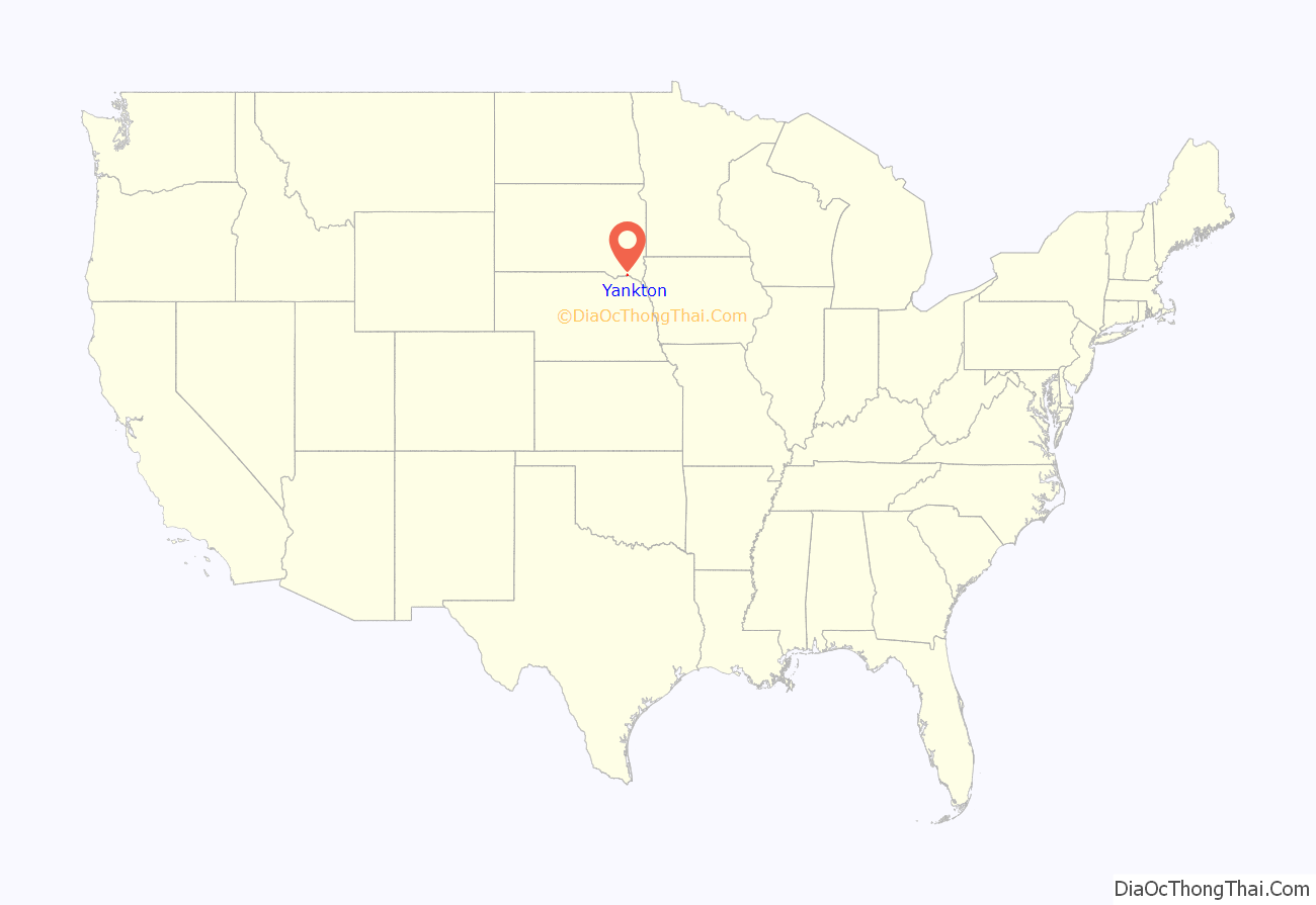
Yankton location map. Where is Yankton city?
History
Native inhabitants
The site of Yankton was occupied by the Yankton Sioux (Dakota) prior to the arrival of European settlers. As part of the vast Louisiana Purchase, the site of Yankton was visited by Lewis and Clark in 1804. In the journals of the expedition, the explorers write of a meeting on August 30, 1804, with members of the Yankton Sioux Tribe on a Missouri River bluff presently known as Calumet Bluff. As recently as 1857, the present day site of Yankton was occupied by a village of Yankton Sioux led by Chief Pa-le-ne-a-pa-pe (“Struck by the Ree”). Two years later, with the signing of the Yankton Treaty of 1858, the land was opened for settlement. The city was founded where the small Rhine Creek (renamed Marne Creek in World War I) flowed into the Missouri River. The city grew as a stop for steamboats to take on fresh water and supplies, especially after steamboat traffic boomed when gold was discovered in the Black Hills.
Dakota territorial capital
With two days left in his term, President James Buchanan signed a law on March 2, 1861, creating the Dakota Territory. Yankton was designated as the territorial capital, and newly inaugurated President Abraham Lincoln appointed his personal physician, William A. Jayne of Springfield, Illinois, as the first territorial governor. The territorial capitol building, a plain, two-story wooden structure, was located at the intersection of Fourth and Capitol Streets; the original structure has been demolished, but a replica of the building has been constructed in Yankton’s Riverside Park. Yankton served as the territorial capital until 1883 when the capital was moved to Bismarck (now the capital of North Dakota).
Yankton Stockade
In response to the Dakota War of 1862 in western Minnesota, Governor Jayne issued a proclamation on August 30, 1862, requiring every male between the ages of 18 and 50 in every settlement in eastern Dakota, be formed into militias to protect against expected attacks from the Native Americans. In response, the Yankton militia built a stockade at the corner of Third Street and Broadway Avenue of approximately 200,000 square feet. Settlers from the surrounding area, and as far away as Sioux Falls and Bon Homme County, fled to Yankton to seek shelter in the structure.
Although roving bands of Native Americans did approach Yankton over the course of several weeks, no attack ensued, and the stockade was eventually abandoned and torn down. There is a historical marker at the site of the former stockade.
Among the most notable events that occurred in Yankton while capital, Jack McCall, murderer of Wild Bill Hickok in Deadwood on August 2, 1876, was tried in Yankton for Hickok’s murder, found guilty, and was hanged on March 1, 1877, at the age of 24. His body is buried in a Yankton cemetery.
Yankton College
Due to the urging of the Reverend Joseph Ward of Yankton, the General Association of Congregational Churches in Dakota Territory voted in May 1881 to establish “Pilgrim College” in Yankton, which was to be the first private institution of higher learning in Dakota. When the college was incorporated in August 1881, the name had been changed to “Yankton College”. Classes commenced in October 1882, and Yankton College played a prominent role in the city for over 100 years.
Then, in 1983, the small liberal arts college was forced to close due to financial insolvency. After remaining vacant for several years, the historic campus, which is listed on the National Register of Historic Places, was purchased by the United States Federal Bureau of Prisons for use as a minimum security prison. The Federal Prison Camp – Yankton houses approx 850 male inmates.
River Port and the Flood of 1881
Since its founding, Yankton enjoyed a natural advantage as a steamboat landing along the Missouri River due to the fact that its landing stretched along the entire length of the town’s riverfront. The first steamboat to reach Yankton from St. Louis arrived in 1859, providing goods and supplies to settlers and fur-traders in upper and central Dakota. Since then, the city continued to grow and quickly became the second largest city in South Dakota. The railroad reached Yankton in 1872. In 1874, gold was discovered in the Black Hills and prospectors rushed into Dakota Territory. By 1880, Yankton had become an established riverboat port on the Missouri River. It retained its position as the second largest city in South Dakota until the beginning of the 20th century.
The city’s status as an important port was literally crushed on March 27, 1881, when an ice dam on the Missouri River burst, sending flood waters and giant blocks of ice flowing towards the town.
The resulting flood waters continued to accumulate behind the debris, and by March 29, the town’s riverfront and downtown were covered in water, ice and rock, destroying or stranding several riverboats that were moored there. As a result of this flood, and the expansion of railroads as a preferred method of shipping goods, Yankton’s river boat traffic was reduced, and the city’s role as a prominent stopping point on the way west dwindled over the next several years.
Francis Marion Ziebach established the second newspaper in the area that became South Dakota, the Weekly Dakotan, in Yankton on June 6, 1861, bringing his outfit from Sioux Falls by team and wagon. A second newspaper, started by Francis Marion Ziebach, is still published today as the Yankton Press and Dakotan.
In 1882, the Human Services Center was established as a psychiatric hospital. On June 2, 1883, Dakota Territory Governor Nehemiah G. Ordway moved the territorial capital from Yankton to Bismarck, present-day North Dakota.
National Register of Historic Places
As evidence of its rich historical past, Yankton has 26 individual properties and 6 historic districts within the city listed on the National Register of Historic Places, maintained by the U.S. National Park Service. Each individual district contains several structures, and include:
- the Yankton (residential) Historic District,
- the Yankton College Historic District,
- the Yankton High School Historic District,
- the Yankton Historic Commercial District
- the House of Gurney Historic District, and
- the South Dakota Human Services Center campus.
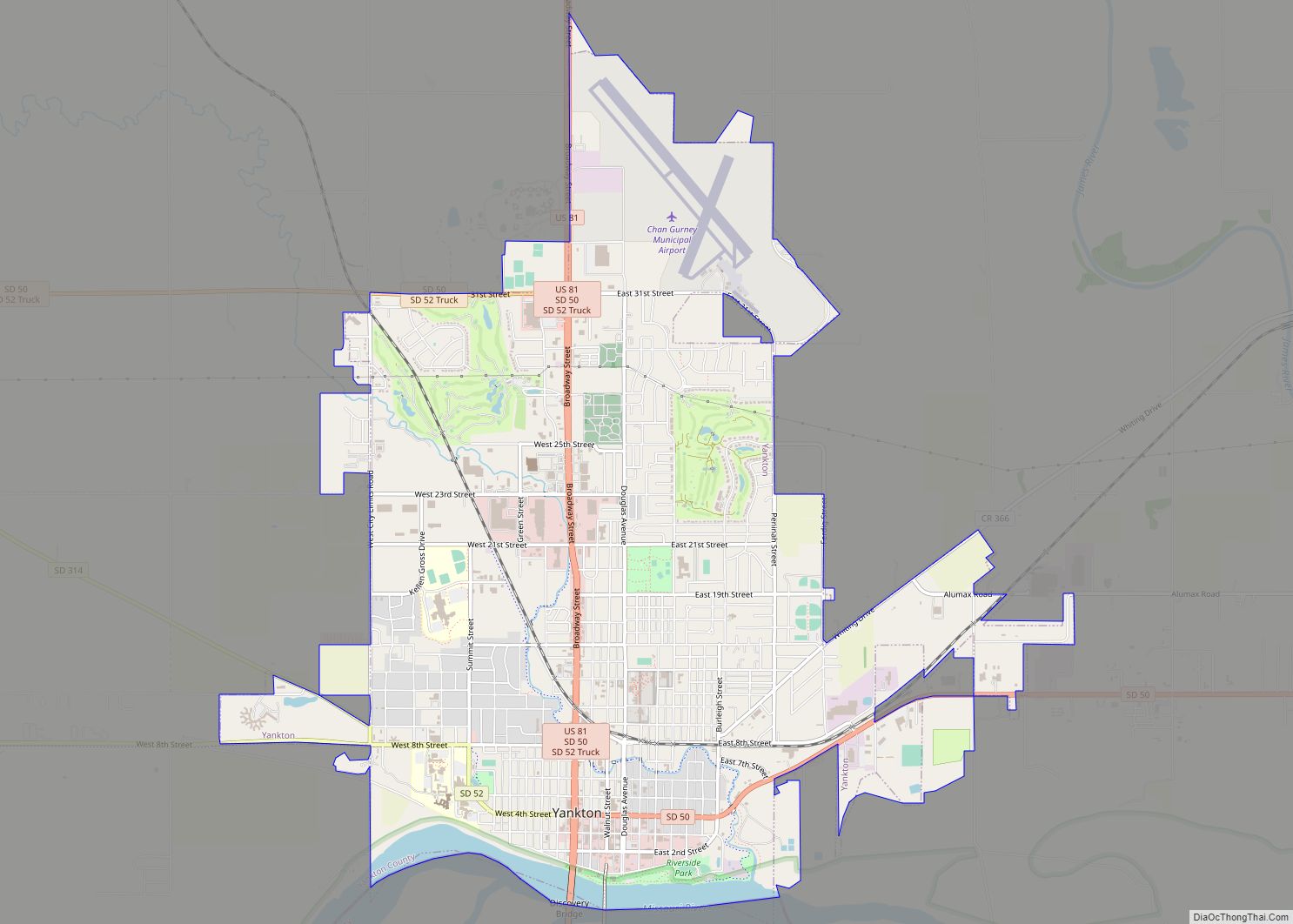
Yankton Road Map
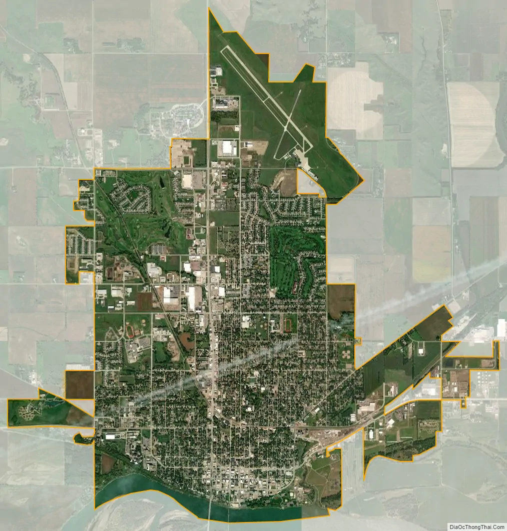
Yankton city Satellite Map
Geography
Yankton is located at 42°52′54″N 97°23′33″W / 42.88167°N 97.39250°W / 42.88167; -97.39250 (42.881647, −97.392485). in southern South Dakota on the state’s border with Nebraska. The city is located on one of the last free-flowing, natural stretches of the Missouri River; this segment of the river, between Gavins Point Dam four miles west of Yankton, and Ponca State Park in Nebraska, has been designated by the U.S. National Park Service as the Missouri National Recreational River.
The city is located approximately six miles west of the point where the James River flows into the Missouri.
The central business district of the city is located on a natural landing along the Missouri River, and city rises in the west to “Mount Marty” (actually a high bluff along the river). The city is also intersected by the Marne Creek, which also flows into the Missouri River. Lewis and Clark Lake is located four miles west of the city.
According to the United States Census Bureau, the city has a total area of 8.45 square miles (21.89 km), of which 8.21 square miles (21.26 km) is land and 0.24 square miles (0.62 km) is water.
Yankton has been assigned the ZIP codes 57078-57079 and the FIPS place code 73060.
See also
Map of South Dakota State and its subdivision:- Aurora
- Beadle
- Bennett
- Bon Homme
- Brookings
- Brown
- Brule
- Buffalo
- Butte
- Campbell
- Charles Mix
- Clark
- Clay
- Codington
- Corson
- Custer
- Davison
- Day
- Deuel
- Dewey
- Douglas
- Edmunds
- Fall River
- Faulk
- Grant
- Gregory
- Haakon
- Hamlin
- Hand
- Hanson
- Harding
- Hughes
- Hutchinson
- Hyde
- Jackson
- Jerauld
- Jones
- Kingsbury
- Lake
- Lawrence
- Lincoln
- Lyman
- Marshall
- McCook
- McPherson
- Meade
- Mellette
- Miner
- Minnehaha
- Moody
- Pennington
- Perkins
- Potter
- Roberts
- Sanborn
- Shannon
- Spink
- Stanley
- Sully
- Todd
- Tripp
- Turner
- Union
- Walworth
- Yankton
- Ziebach
- Alabama
- Alaska
- Arizona
- Arkansas
- California
- Colorado
- Connecticut
- Delaware
- District of Columbia
- Florida
- Georgia
- Hawaii
- Idaho
- Illinois
- Indiana
- Iowa
- Kansas
- Kentucky
- Louisiana
- Maine
- Maryland
- Massachusetts
- Michigan
- Minnesota
- Mississippi
- Missouri
- Montana
- Nebraska
- Nevada
- New Hampshire
- New Jersey
- New Mexico
- New York
- North Carolina
- North Dakota
- Ohio
- Oklahoma
- Oregon
- Pennsylvania
- Rhode Island
- South Carolina
- South Dakota
- Tennessee
- Texas
- Utah
- Vermont
- Virginia
- Washington
- West Virginia
- Wisconsin
- Wyoming