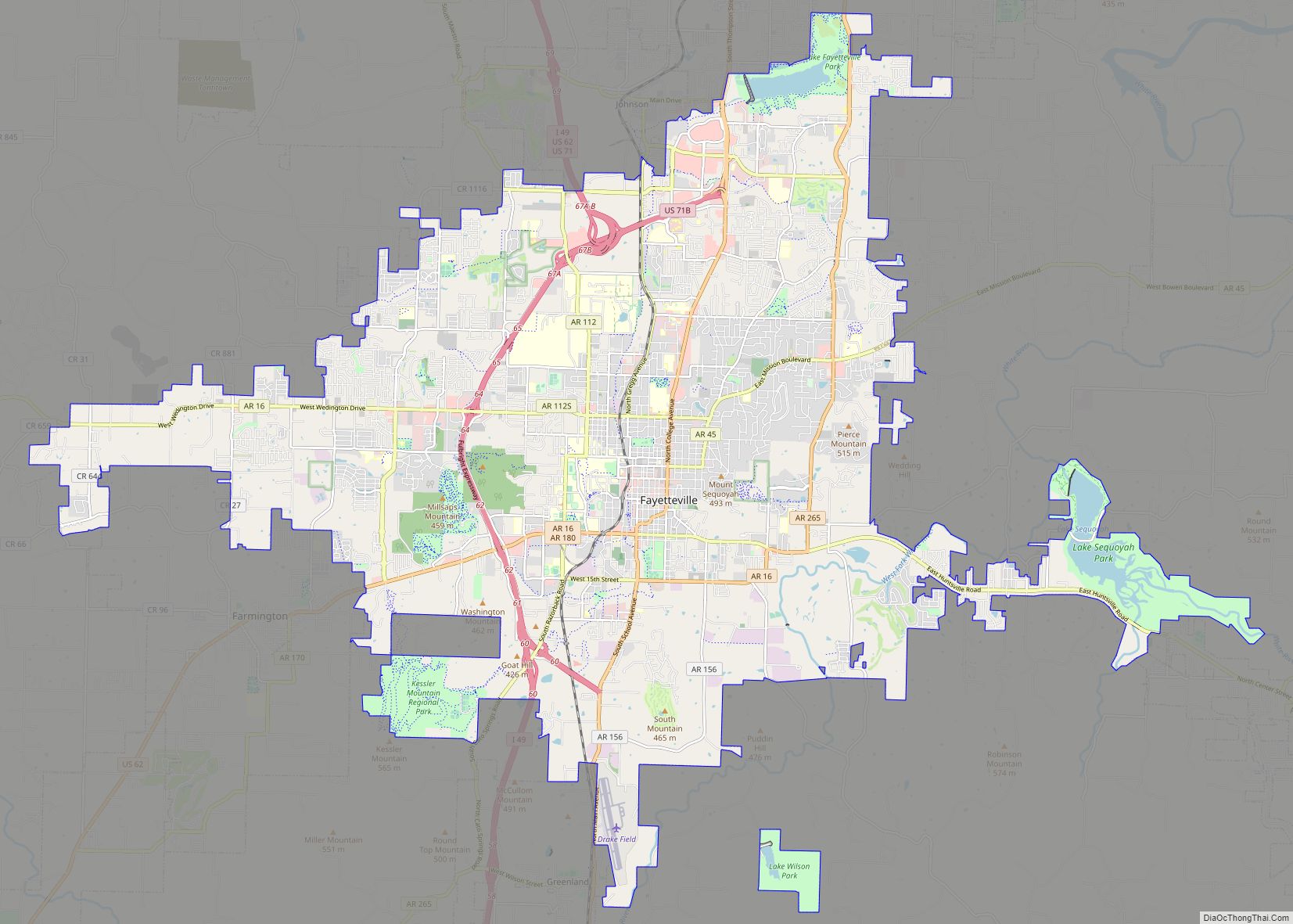
Map of Tuscaloosa city

Map of Tuscaloosa city

Tuscaloosa (/ˌtʌskəˈluːsə/ TUS-kə-LOO-sə) is a city in and the seat of Tuscaloosa County in west-central Alabama, United States, on the Black Warrior River where the Gulf Coastal and Piedmont plains meet. Alabama’s fifth-largest city, it had an estimated population of 102,432 in 2022. It was known as Tuskaloosa until the early 20th century. It is … Read more

Map of Nogales city

Map of Nogales city

Nogales (Spanish for ‘walnut trees’; Spanish: [noˈɣales]; English: /nəˈɡɑːlɪs/ or /noʊˈɡɑːleɪs/) is a city in Santa Cruz County, Arizona. The population was 20,837 at the 2010 census and estimated 20,103 in 2019. Nogales forms part of the larger Tucson–Nogales combined statistical area, with a total population of 1,027,683 as of the 2010 Census. The city is … Read more

Map of Springdale city

Map of Springdale city, Arkansas

Springdale is the fourth-largest city in Arkansas, United States. It is located in both Washington and Benton counties in Northwest Arkansas. Located on the Springfield Plateau deep in the Ozark Mountains, Springdale has long been an important industrial city for the region. In addition to several trucking companies, the city is home to the world … Read more

Map of Yuma city

Map of Yuma city, Arizona

Yuma (Cocopah: Yuum) is a city in and the county seat of Yuma County, Arizona, United States. The city’s population was 93,064 at the 2010 census, up from the 2000 census population of 77,515. Yuma is the principal city of the Yuma, Arizona, Metropolitan Statistical Area, which consists of Yuma County. According to the United … Read more

Map of Sierra Vista city

Map of Sierra Vista city

Sierra Vista is a city in Cochise County, Arizona, United States. According to the 2020 Census, the population of the city is 45,308, and is the 27th most populous city in Arizona. The city is part of the Sierra Vista-Douglas Metropolitan Area, with a 2010 population of 131,346. Fort Huachuca, a U.S. Army post, has … Read more

Map of Prescott city, Arizona

Map of Prescott city, Arizona

Prescott (/ˈprɛskət/ PRESS-kət) is a city in Yavapai County, Arizona, United States. According to the 2020 Census, the city’s population was 45,827. The city is the county seat of Yavapai County. In 1864, Prescott was designated as the capital of the Arizona Territory, replacing the temporary capital of Fort Whipple. The Territorial Capital was moved … Read more

Map of Santa Barbara city

Map of Santa Barbara city

Santa Barbara (Spanish: Santa Bárbara, meaning ‘Saint Barbara’) is a coastal city in Santa Barbara County, California, of which it is also the county seat. Situated on a south-facing section of coastline, the longest such section on the West Coast of the United States, the city lies between the steeply rising Santa Ynez Mountains and … Read more

Map of Palm Springs city

Map of Palm Springs city, California

Palm Springs (Cahuilla: Séc-he) is a desert resort city in Riverside County, California, United States, within the Colorado Desert’s Coachella Valley. The city covers approximately 94 square miles (240 km), making it the largest city in Riverside County by land area. With multiple plots in checkerboard pattern, more than 10% of the city is part of … Read more

Map of Monterey city

Map of Monterey city, California

Monterey (/ˌmɑːntəˈreɪ/ (listen); Spanish: Monterrey) is a city located in Monterey County on the southern edge of Monterey Bay on the U.S. state of California‘s Central Coast. Founded on June 3, 1770, it functioned as the capital of Alta California under both Spain (1804–1821) and Mexico (1822–1846). During this period, Monterey hosted California’s first theater, … Read more

Map of Middletown town, Delaware

Map of Middletown town, Delaware

Middletown is a town in New Castle County, Delaware, United States. According to the 2021 Census, the population of the town is 24,164. Middletown town overview: Name: Middletown town LSAD Code: 43 LSAD Description: town (suffix) State: Delaware County: New Castle County Incorporated: 1861 Elevation: 66 ft (20 m) Total Area: 12.65 sq mi (32.75 km²) Land Area: 12.51 sq mi (32.41 km²) … Read more

Map of Dover city, Delaware

Map of Dover city, Delaware

Dover (/ˈdoʊvər/) is the capital and second-most populous city of the U.S. state of Delaware. It is also the county seat of Kent County and the principal city of the Dover metropolitan statistical area, which encompasses all of Kent County and is part of the Philadelphia–Wilmington–Camden, PA–NJ–DE–MD, combined satistical area. It is located on the … Read more