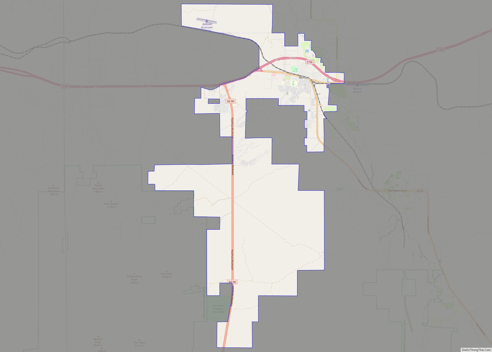
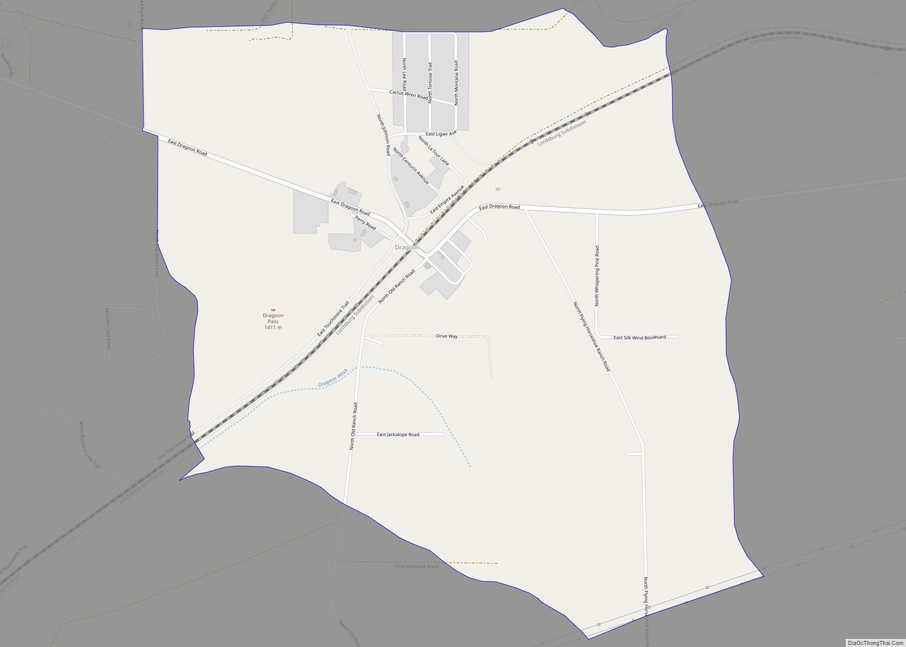
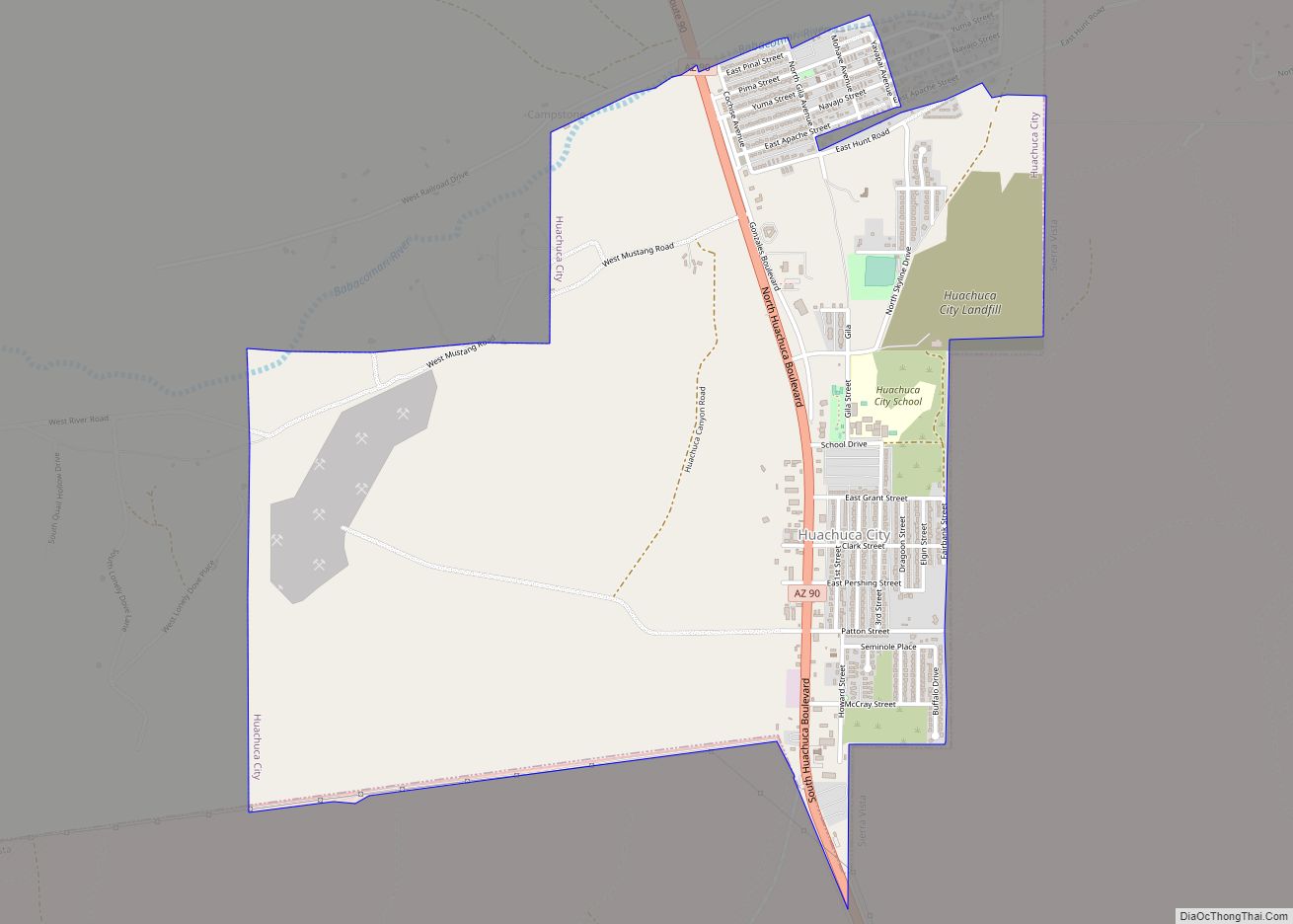
Sierra Vista is a city in Cochise County, Arizona, United States. According to the 2020 Census, the population of the city is 45,308, and is the 27th most populous city in Arizona. The city is part of the Sierra Vista-Douglas Metropolitan Area, with a 2010 population of 131,346. Fort Huachuca, a U.S. Army post, has been incorporated and is located in the northwest part of the city. Sierra Vista is bordered by the cities of Huachuca City and Whetstone to the north and Sierra Vista Southeast to the South.
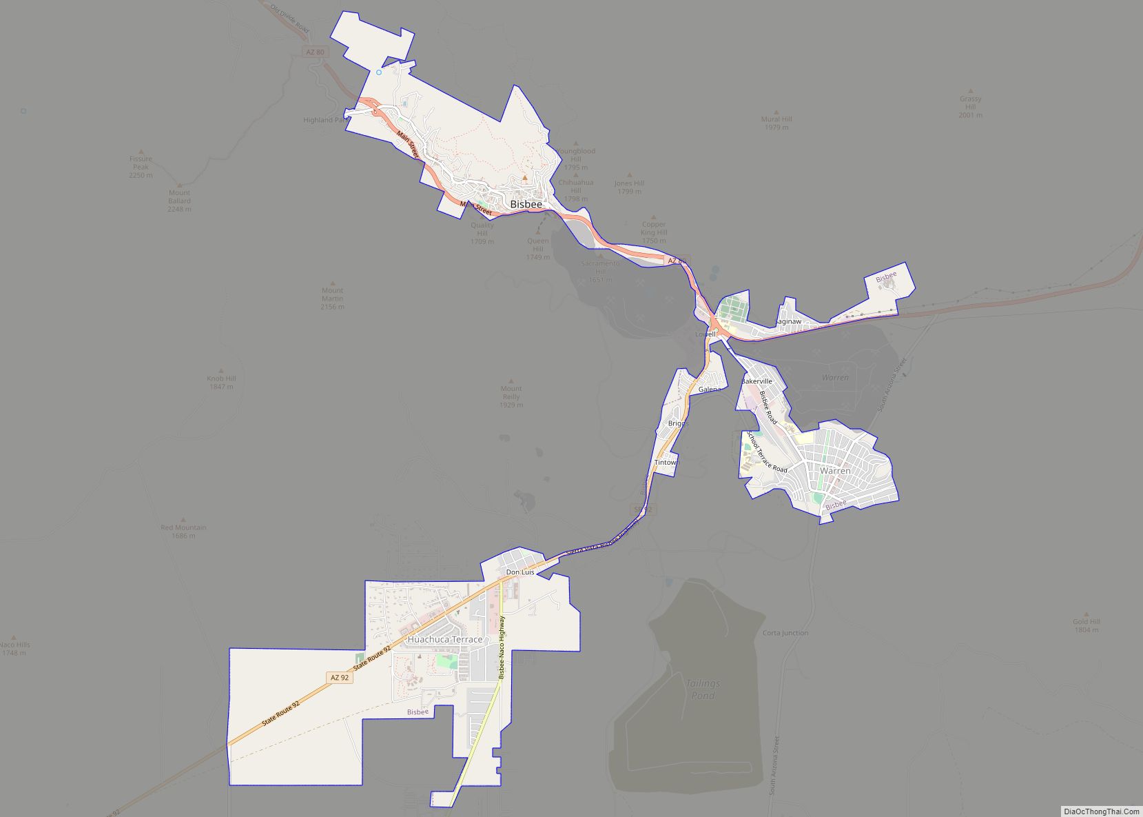
Sierra Vista, Spanish for ‘mountain view’, is 75 miles (121 km) southeast of Tucson and serves as the main commercial, cultural, and recreational hub of Cochise County. Sierra Vista is located on the southwestern side of Cochise County and is 15 miles (24 km) southwest of Tombstone, 20 miles (32 km) northwest of Bisbee, and 15 miles (24 km) from the border of Mexico. The closest port of entry to Mexico is Naco in the Mexican state of Sonora which is 24 miles (39 km) from Sierra Vista to the southeast. Sierra Vista is home to University of Arizona, College of Applied Science and Technology, a Defense Intelligence Agency (DIA) designated Intelligence Community – Center of Academic Excellence (IC-CAE) university, Cochise College, and Wick Communications, a media company operating 27 newspapers and 18 specialty publications in 11 states.
| Name: | Sierra Vista city |
|---|---|
| LSAD Code: | 25 |
| LSAD Description: | city (suffix) |
| State: | Arizona |
| County: | Cochise County |
| Incorporated: | 1956 |
| Elevation: | 4,633 ft (1,412 m) |
| Total Area: | 152.51 sq mi (395.00 km²) |
| Land Area: | 152.25 sq mi (394.33 km²) |
| Water Area: | 0.26 sq mi (0.68 km²) |
| Total Population: | 45,308 |
| Population Density: | 297.59/sq mi (114.90/km²) |
| ZIP code: | 85600-85699 |
| Area code: | 520 |
| FIPS code: | 0466820 |
| Website: | www.sierravistaaz.gov |
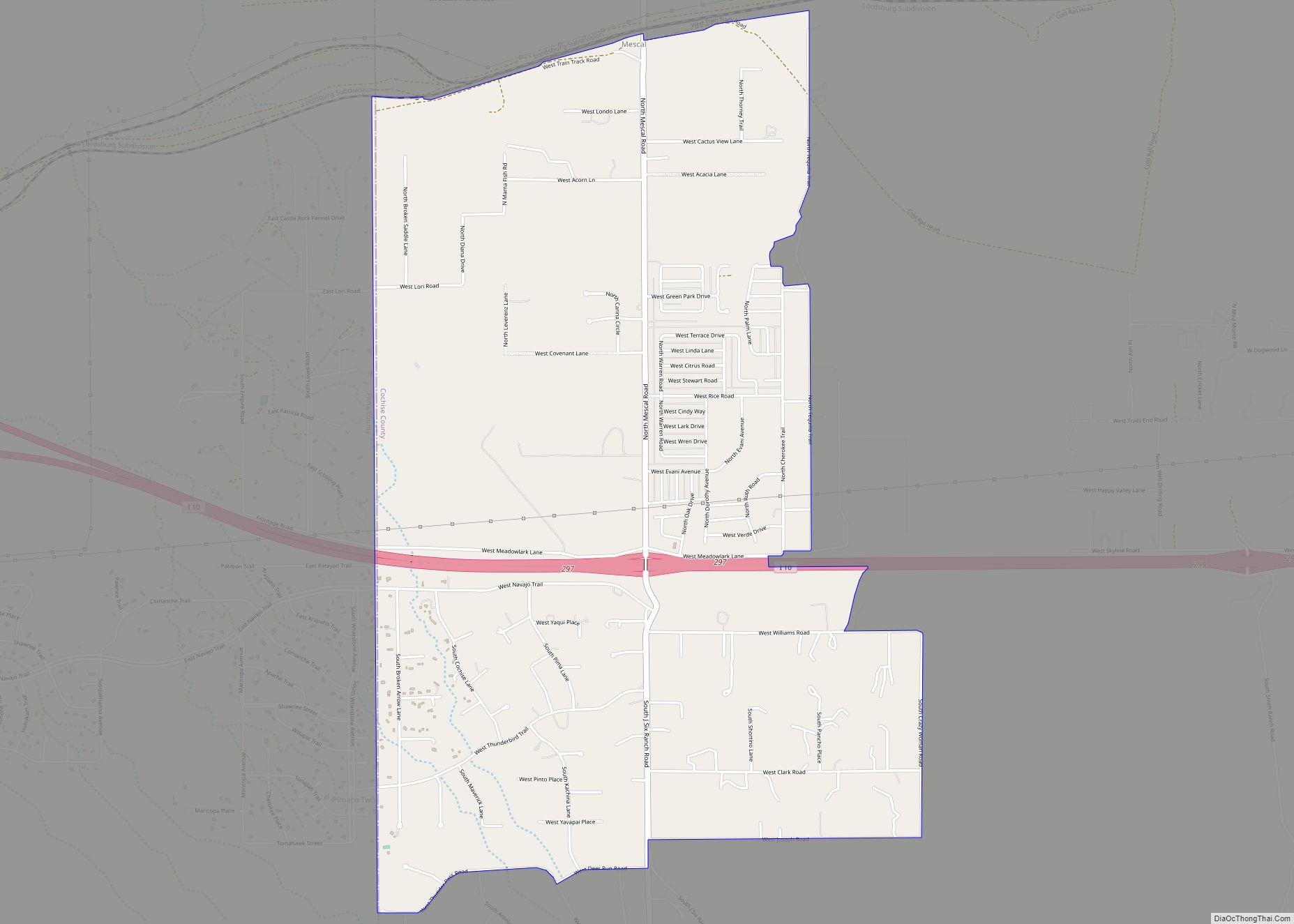
Online Interactive Map
Click on ![]() to view map in "full screen" mode.
to view map in "full screen" mode.
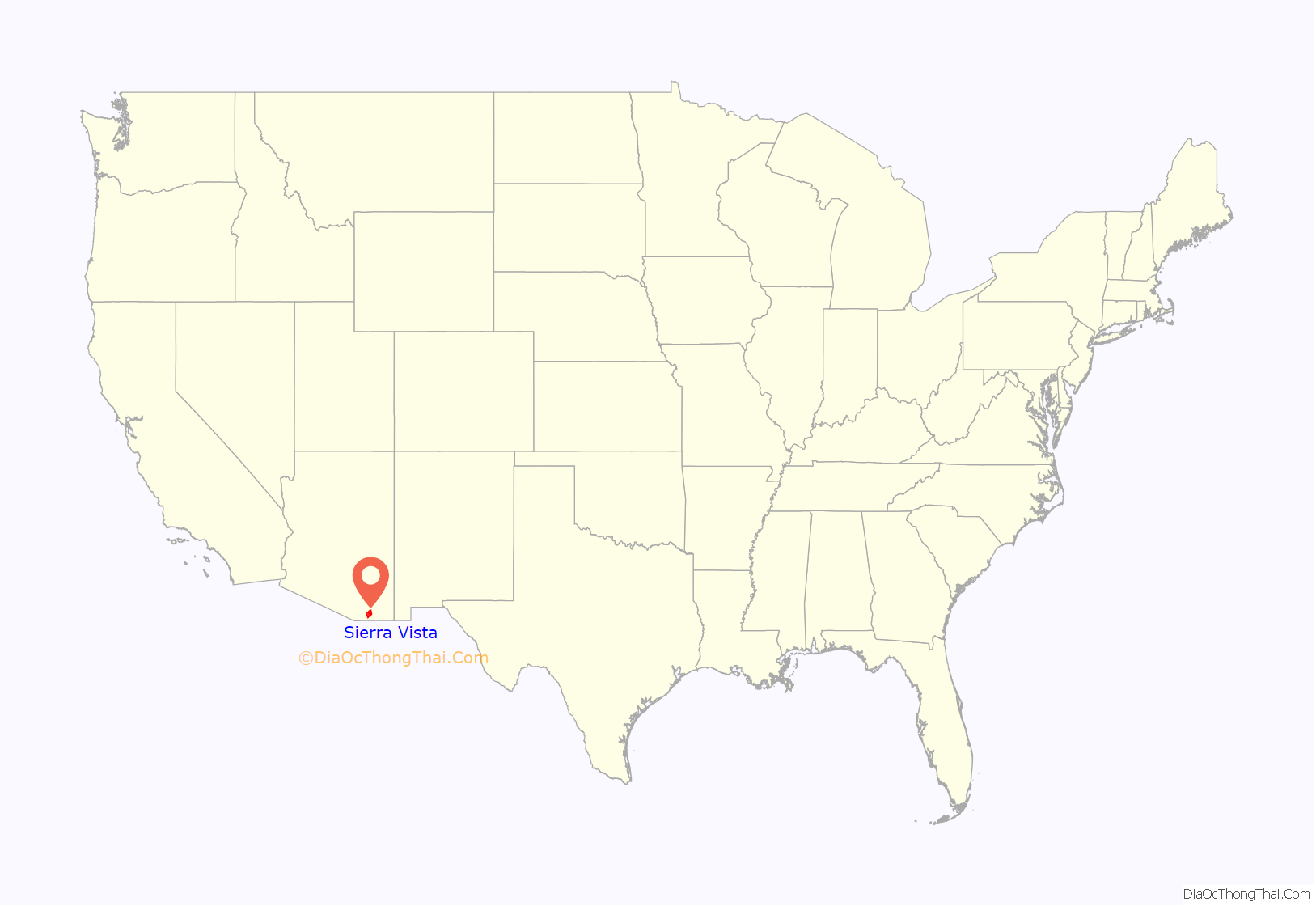
Sierra Vista location map. Where is Sierra Vista city?
History
As evidenced by several neolithic sites, which include the Murray Springs Clovis Site and known archeological sites like the Lehner Mammoth-Kill Site, Paleo-Indians, along with animals including mammoths, horses, tapirs, bison, and camels occupied the area more than 11,000 years ago (9000 BCE). Both the Murray Springs Clovis Site and the Lehner Mammoth-Kill Site are now National Historic Landmarks. This area was the home to a large Sobaipuri Pueblo near Fairbank which had several smaller pueblos and settlements throughout the valley, a Spanish Fort, Presidio Santa Cruz de Terrenate between modern Huachuca City , Whetstone, and Tombstone, on the west bank of the San Pedro River. along with a few Spanish settlers supporting the route to Tucson’s Mission San Xavier del Bac and Presidio San Agustín del Tucsón. Coronado National Memorial was established in the southern Huachuca Mountains to commemorate the expedition of the Spanish conquistador Francisco Vázquez de Coronado utilizing the nearby San Pedro River in his northward search of the Cities of Cíbola, often referred to now as the mythical Seven Cities of Gold.
Like most of Cochise County, this area was part of the Gadsden Purchase of 1854. Camp Huachuca was established in 1877. At the end of the Apache Wars in 1886, with the protection of the fort and the completion of the Southern Pacific and El Paso & Southwestern railroads, the San Pedro Valley began to be populated by American settlers.
The first business that opened just outside the east gate of Fort Huachuca was a saloon and “house of ill repute” owned by John and Ellen Reilly, which opened in 1892. In 1911, Margaret Carmichael bought the Reilly homestead and business. By 1913, Margaret Carmichael had leased the business back to the Reillys. Also in 1913, a group of dry land farmers settled in the local area and named their settlement Buena. Buena was east of Garden Canyon, between Lewis Springs and Fort Huachuca, east of the junction of present-day Hwy 90 and Hwy 92. At this site was a post office and a school house that served children in Buena, Garden Canyon, and outreaches of the local area. Oliver Fry and his two oldest sons traveled from Texas on the railroad and settled on 320 acres (1.3 km) just east of Fort Huachuca in January, 1913.
By 1917, the Overton Post Office was established. This name came from the Overton Mercantile and Investment Company, which took an option on the Carmichael property with plans to develop a townsite outside Fort Huachuca. It is believed that the company was unable to persuade anyone to move to the area, so when the option expired the Carmichaels took back the property with a general mercantile store and the post office.
In 1918, the Carmichaels named their store after the Garden Canyon Sawmill. They also called their post office, where Carmichael was the postmaster, Garden Canyon. The Carmichaels built a home across the street from Garden Canyon store, as well as 18 stone houses, on Garden Avenue. From 1927 to 1938, the Frys rented the Carmichael store and ran the post office. The Frys established their own general store and the first federally recognized post office in 1938, the Fry Post Office, so the name of this settlement changed to Fry. By World War II, Fry’s reputation was less than salubrious. According to the “Employment of Negro Troops” (CMH), “Because it was surrounded by a desert with no nearby communities and because it was located in a part of the country with practically no Negro population, Fort Huachuca, since the days when it was a frontier post garrisoned with Negro soldiers of the old regiments, had considered Fry a quasi-necessary adjunct…. In Fry lived women…. As the post commander described it in 1942: The small town of Fry is dirty, unsanitary and squalid. It has been so for many years. It was made worse in these respects during the construction of the cantonment….” (p. 282)
When the base was reactivated on February 1, 1954, base commander Brigadier General Emil Lenzner, pushed for incorporation as both a way to solve the on-base housing problems as well as to distance themselves from reputation of “The White City” and Fry Town Settlement, hoping to encourage people to want to live off base in a more family-friendly community, away from undesirables like the minorities allowed to live unsegregated in Fry Town. Petitions for incorporation began to be filed in 1955 and were legally accepted in 1956, which included what had been Garden Canyon and Buena but did not include most of Fry Town. This was in part to keep a Federal Housing Authority (FHA) housing project contacts for housing off post away from the Fry Town area, and was used as a rationale to incorporate and begin getting a share of tax revenues without having to pay the Fry family for the parts of Fry Town considered desirable and wholesome.
In 1955, the first attempt to incorporate and rename the area was rejected, as Fry opposed both incorporating and renaming the town that bore his family name. In 1956, the ballot issue failed 76 to 61. People who owned land outside of Fry’s property in the area of Garden Canyon/Overton and Buena, as well as parts of Fry went forward with incorporation and renaming by petition on May 26, 1956, excluding the half-square-mile owned by Fry that included the local red light district called “the White City” as well as off base housing of the African-American “Buffalo” soldier officers’ families, and other minorities and groups they considered undesirable in the 1950s. They were described as the “Fry People.” When Sierra Vista was incorporated, it did not include the enclave of Fry, which remains an unincorporated area within the city of Sierra Vista.
Sierra Vista was incorporated in 1956. The proposed town council held a radio contest asking for names of the proposed town. Marie Pfister, the city clerk, asked her friend Nola Walker to store the suggestions. When the town was approved, they called Nola for the contest winner, but without counting the votes she told them her personal entry of “Sierra Vista” was the winner. On July 13, 2006, at a special ceremony during the city’s 50th anniversary, Nola was granted “clemency” for her misrepresentation of the vote.
In 1961 the community had grown large enough to be classified as a city, allowing the establishment of a community college. In 1973 Ethel Berger became the first female mayor in Arizona. In the 1970s the Art in the Park Festival was established by a committee of Army Wives, with it proceeds benefiting the Huachuca Arts Association, and college scholarships. Sierra Vista annexed Fort Huachuca, a U.S. military base, one of the largest employers in Arizona, and the adjacent community, in 1971.
Sierra Vista was the site of the first McDonald’s drive thru, which opened in 1975. The owner, Dave Rich, drove the innovative approach to gain the business of the soldiers from nearby Fort Huachuca. At that time, soldiers were not allowed to wear their military fatigues off of the military base with the exception of driving or riding inside vehicles.
Sierra Vista has a population of over 43,000 today. The city is the economic and commercial center of Cochise County, and northern Sonora, Mexico.
Known historical names for the area:
- 1878 Papingo
- 1898 Overton
- 1909 Garden Canyon
- 1915 Buena
- 1938 Fry, Frytown, Fry Township, Fry Settlement
- 1942–1945 “The White City”, “Green Top” or “The Hook”
- 1955 Town of Sierra Vista
- 1961 City of Sierra Vista
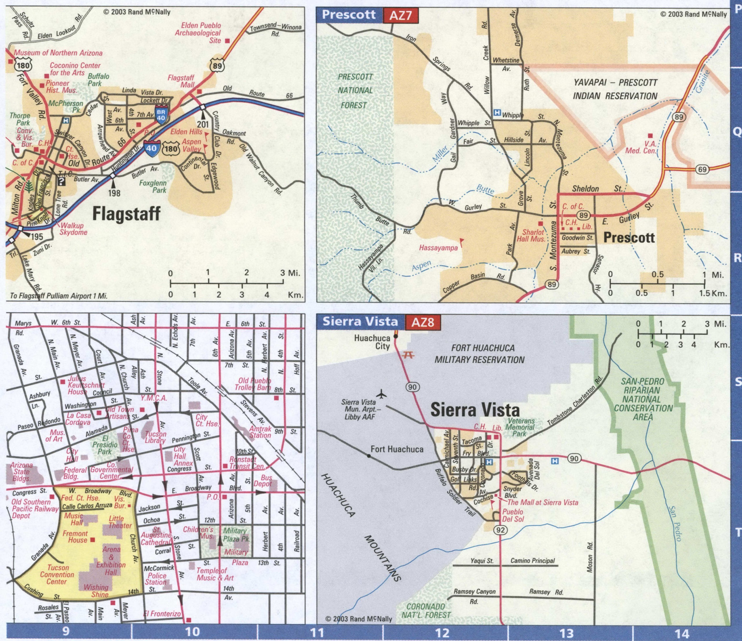
Sierra Vista Road Map
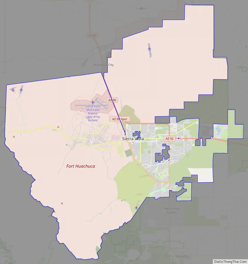

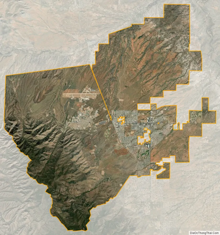
Sierra Vista city Satellite Map
Geography
Sierra Vista is in southwestern Cochise County at 31°32′44″N 110°16′35″W / 31.54556°N 110.27639°W / 31.54556; -110.27639 (31.545498, −110.276500). It is bordered on the northwest by the much smaller town of Huachuca City.
According to the United States Census Bureau, the city has an area of 152.5 square miles (395.1 km), of which 152.3 square miles (394.4 km) is land and 0.27 square miles (0.7 km) is water. It is 4,623 feet (1,409 m) above sea level. Sierra Vista is flanked on the southwest side by the Huachuca Mountains, with Miller Peak rising to 9,466 feet (2,885 m) and Carr Peak to 9,236 feet (2,815 m), both south of the city limits. The city is accessible via Arizona State Routes 90 and 92. The San Pedro River flows just east of the city limits.
Climate
In the Köppen climate classification system, Sierra Vista falls within the typical cold semi-arid climate (BSk) of mid-altitude Arizona. Fall and spring, like most other parts of Arizona, are very dry. Winters are cool to cold with frosts which can occasionally be hard freezes; frost can be expected to stop in mid- to late April. Spring, like fall, spends about half of itself within the frost season. Summer starts off dry, but progressively gets wetter as the monsoon season approaches. The city has a fairly stable climate with very little humidity. However, the North American Monsoon can bring torrential rains during the months of July and August and will produce almost half the yearly rainfall in just those two months alone. Due to the dry climate the rest of the year and the city’s high elevation, daily winter low temperatures range from 20 to 30 °F (−6.7 to −1.1 °C) on average and up to 50 °F (10.0 °C) on rare occasions when moist fronts bring warm air from the Gulf of California. Snow is not a common sight on the streets of Sierra Vista though some years the city can receive several inches of snow and other years it will receive none. However, a snow-capped Miller Peak and Carr Peak in the Huachuca Mountains is a common sight for four to five months every year.
The highest recorded temperature was 110 °F (43 °C) on June 20, 2017.
The lowest recorded temperature was 4 °F (−16 °C) on February 3, 2011.
The maximum average rainfall occurs in August.
See also
Map of Arizona State and its subdivision: Map of other states:- Alabama
- Alaska
- Arizona
- Arkansas
- California
- Colorado
- Connecticut
- Delaware
- District of Columbia
- Florida
- Georgia
- Hawaii
- Idaho
- Illinois
- Indiana
- Iowa
- Kansas
- Kentucky
- Louisiana
- Maine
- Maryland
- Massachusetts
- Michigan
- Minnesota
- Mississippi
- Missouri
- Montana
- Nebraska
- Nevada
- New Hampshire
- New Jersey
- New Mexico
- New York
- North Carolina
- North Dakota
- Ohio
- Oklahoma
- Oregon
- Pennsylvania
- Rhode Island
- South Carolina
- South Dakota
- Tennessee
- Texas
- Utah
- Vermont
- Virginia
- Washington
- West Virginia
- Wisconsin
- Wyoming