Springdale is the fourth-largest city in Arkansas, United States. It is located in both Washington and Benton counties in Northwest Arkansas. Located on the Springfield Plateau deep in the Ozark Mountains, Springdale has long been an important industrial city for the region. In addition to several trucking companies, the city is home to the world headquarters of Tyson Foods, the world’s largest meat producing company. Originally named Shiloh, the city changed its name to Springdale when applying for a post office in 1872. It is included in the four-county Northwest Arkansas Metropolitan Statistical Area, which is ranked 102nd in terms of population in the United States with 546,725 in 2020 according to the United States Census Bureau. The city had a population of 84,161 at the 2020 Census.
Springdale has been experiencing a population boom in recent years, as indicated by a 133% growth in population between the 1990 and 2010 censuses. During this period of rapid growth, the city has seen a new Shiloh Museum of Ozark History, the establishment of a Springdale campus of Northwest Arkansas Community College and the Northwest Arkansas Naturals minor league baseball team move into Arvest Ballpark. Tyson remains the city’s top employer, and is visible throughout the city. Many public features bear the Tyson name, including the Randal Tyson Recreational Complex, Don Tyson Parkway, Helen Tyson Middle School, John Tyson Elementary and Don Tyson School of Innovation. Governor Mike Beebe signed an act into law recognizing Springdale as “The Poultry Capital Of The World” in 2013.
| Name: | Springdale city |
|---|---|
| LSAD Code: | 25 |
| LSAD Description: | city (suffix) |
| State: | Arkansas |
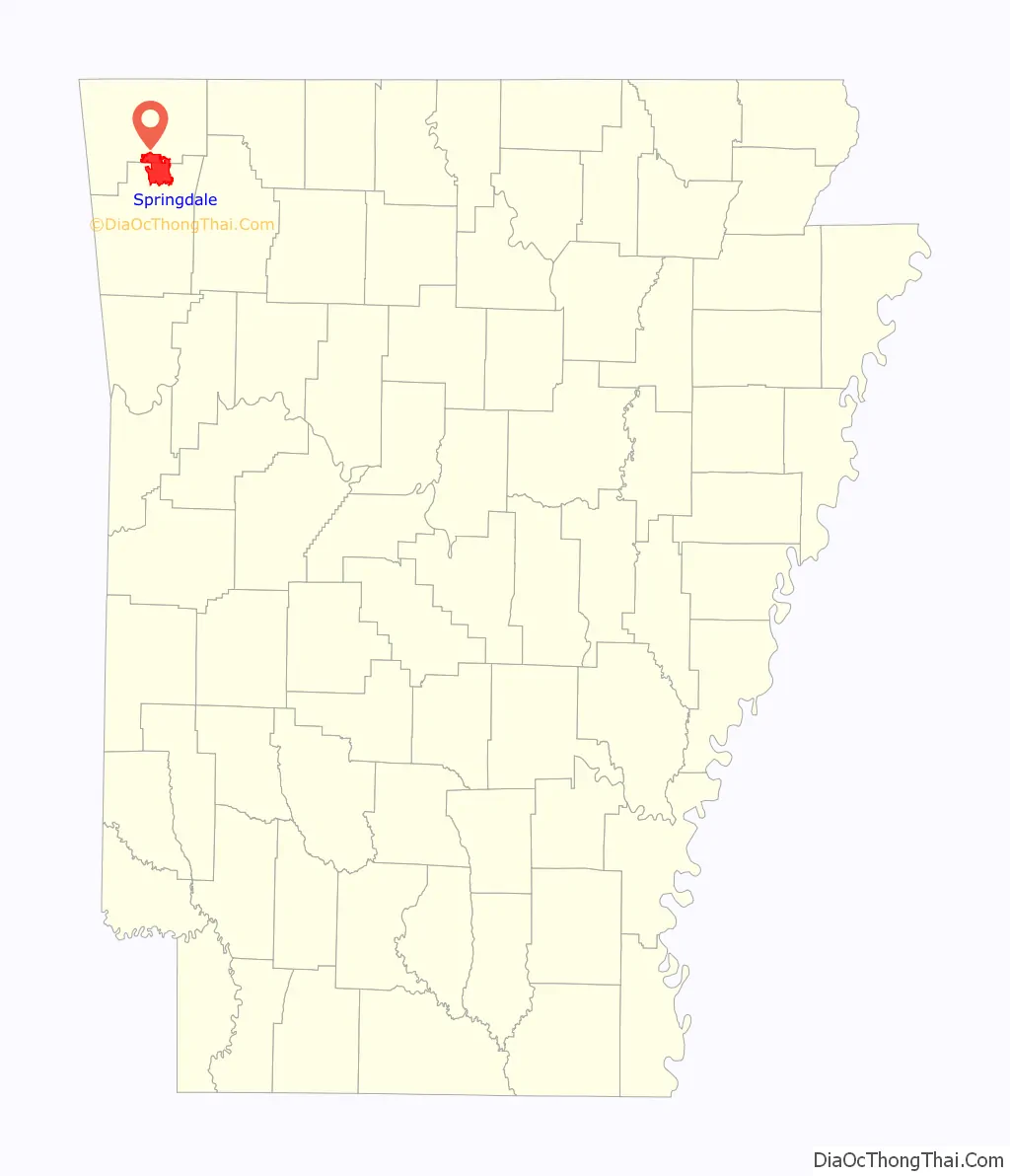
| County: | Benton County, Washington County |
| Founded: | 1838 |
| Elevation: | 1,335 ft (407 m) |
| Land Area: | 49.20 sq mi (127.42 km²) |
| Water Area: | 0.51 sq mi (1.31 km²) |
| Population Density: | 1,710.69/sq mi (660.50/km²) |
| ZIP code: | 72762, 72764-66 |
| Area code: | 479 |
| FIPS code: | 0566080 |
| GNISfeature ID: | 2405509 |
| Website: | www.springdalear.gov |
Online Interactive Map
Click on ![]() to view map in "full screen" mode.
to view map in "full screen" mode.
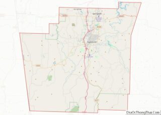
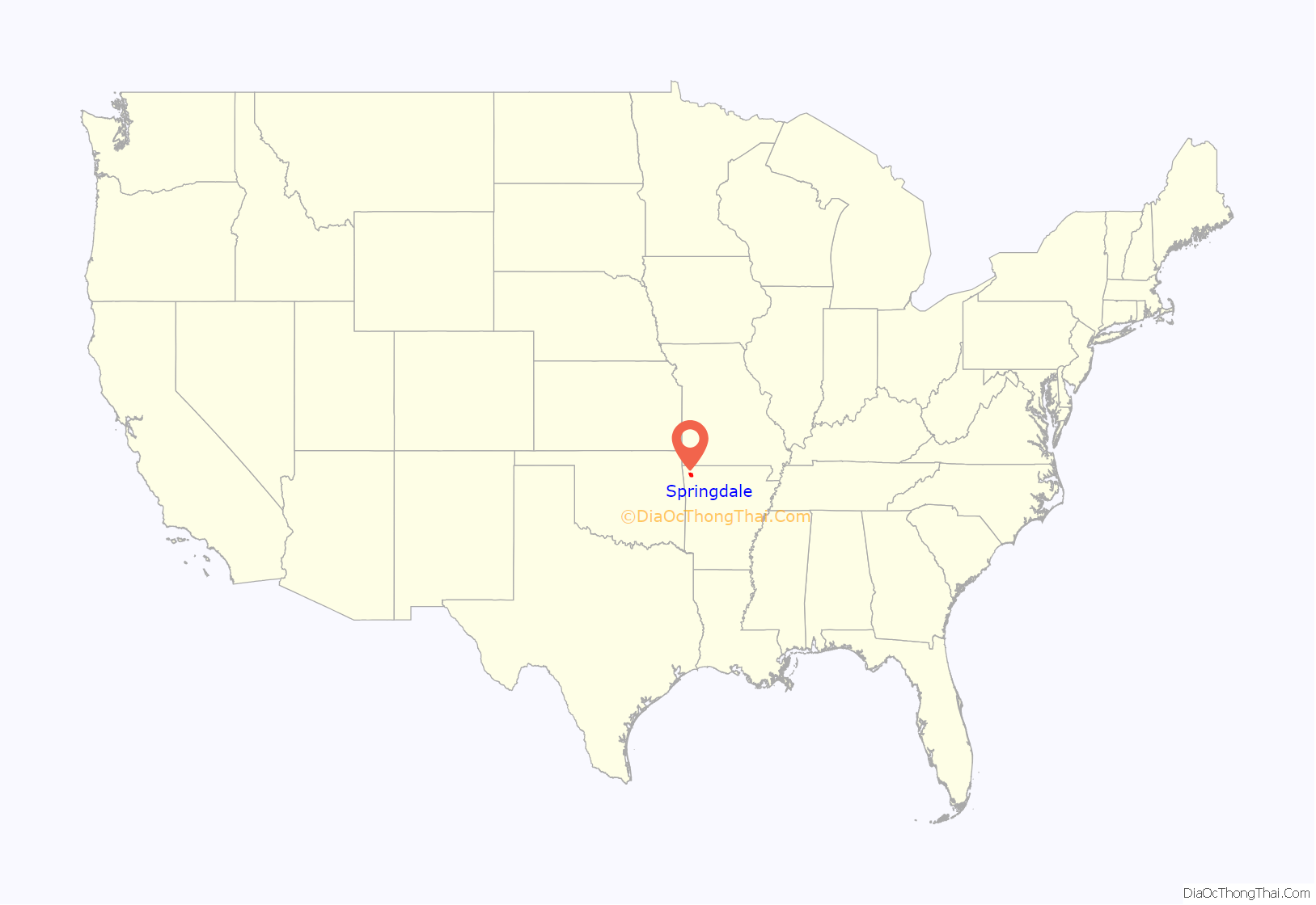
Springdale location map. Where is Springdale city?
History
Springdale was formerly called “Shiloh”, after the local Shiloh church, and was platted under that original name in 1866. In 1878, the town was incorporated with the name of Springdale.
An intense EF3 tornado struck the town on March 30, 2022, heavily damaging or destroying several structures and injuring seven people.
Springdale Road Map

Springdale city Satellite Map

Geography
According to the United States Census Bureau, the city has a total area of 108.9 square miles (282 km), of which, 108.3 square miles (280 km) of it is land and 0.7 square miles (1.8 km) of it, or 0.62%, is water. The city limits extend north into southern Benton County. Springdale is bordered by the cities of Cave Springs, Lowell, and Bethel Heights to the north, by Elm Springs and Tontitown to the west, and by Johnson and Fayetteville to the south.
The city is located in both Benton and Washington counties along Interstate 49/US Highway 62/US Highway 71 (I-49/US 62/US 71). This is the only fully controlled access route through the area, which replaced the winding US 71 (now US 71B) in the 1990s. An interstate connection with Fort Smith to the south and Kansas City, Missouri, to the north has greatly helped to grow Springdale. Within Washington County, Springdale is bordered along the south by Fayetteville and Johnson. In some locations, this transition is seamless. The city extends west and east along Highway 412 toward Tontitown and Beaver Lake, respectively.
Geology
Springdale is located on the Springfield Plateau, a subset of The Ozarks which run through northwest Arkansas, southern Missouri, and Northeastern Oklahoma. In the Springdale area, sandstone and shale were deposited on top of the Springfield Plateau during the Pennsylvanian Period. These were eroded after the Ouachita orogeny and uplift, exposing Mississippian limestone formations of the Springfield Plateau visible today.
Metropolitan area
The Northwest Arkansas region consists of three Arkansas counties: Benton, Madison, and Washington. The area had a population of 347,045 at the 2000 census which had increased to 463,204 by the 2010 Census (an increase of 33.47 per cent). The Metropolitan Statistical Area does not consist of the usual principal-city-with-suburbs morphology; instead Springdale is bordered to the north by Rogers, the south by Fayetteville, and the northwest by Bentonville, with smaller cities like Lowell and Johnson in between.
Climate
Springdale lies in the humid subtropical climate zone (Köppen Cfa) with influence from the humid continental climate type. The climate in this area is characterized by hot, humid summers and generally mild to cool winters. The climate is similar to that of nearby Fayetteville.
July is the hottest month of the year, with an average high of 89 °F (32 °C) and an average low of 69 °F (21 °C). Temperatures above 100 °F (38 °C) are uncommon but not rare, occurring on average twice a year, with 57 days over 90 °F (32 °C) annually. January is the coldest month with an average high of 46 °F (8 °C) and an average low of 26 °F (−3 °C). The city’s highest temperature was 111 °F (43.9 °C), recorded in 1954. The lowest temperature recorded was −24 °F (−31 °C), in 1899. Precipitation is weakly seasonal, with a bimodal pattern: wet seasons in the spring and fall, and relatively drier summers and winters, but some rain in all months.
See also
Map of Arkansas State and its subdivision:- Arkansas
- Ashley
- Baxter
- Benton
- Boone
- Bradley
- Calhoun
- Carroll
- Chicot
- Clark
- Clay
- Cleburne
- Cleveland
- Columbia
- Conway
- Craighead
- Crawford
- Crittenden
- Cross
- Dallas
- Desha
- Drew
- Faulkner
- Franklin
- Fulton
- Garland
- Grant
- Greene
- Hempstead
- Hot Spring
- Howard
- Independence
- Izard
- Jackson
- Jefferson
- Johnson
- Lafayette
- Lawrence
- Lee
- Lincoln
- Little River
- Logan
- Lonoke
- Madison
- Marion
- Miller
- Mississippi
- Monroe
- Montgomery
- Nevada
- Newton
- Ouachita
- Perry
- Phillips
- Pike
- Poinsett
- Polk
- Pope
- Prairie
- Pulaski
- Randolph
- Saint Francis
- Saline
- Scott
- Searcy
- Sebastian
- Sevier
- Sharp
- Stone
- Union
- Van Buren
- Washington
- White
- Woodruff
- Yell
- Alabama
- Alaska
- Arizona
- Arkansas
- California
- Colorado
- Connecticut
- Delaware
- District of Columbia
- Florida
- Georgia
- Hawaii
- Idaho
- Illinois
- Indiana
- Iowa
- Kansas
- Kentucky
- Louisiana
- Maine
- Maryland
- Massachusetts
- Michigan
- Minnesota
- Mississippi
- Missouri
- Montana
- Nebraska
- Nevada
- New Hampshire
- New Jersey
- New Mexico
- New York
- North Carolina
- North Dakota
- Ohio
- Oklahoma
- Oregon
- Pennsylvania
- Rhode Island
- South Carolina
- South Dakota
- Tennessee
- Texas
- Utah
- Vermont
- Virginia
- Washington
- West Virginia
- Wisconsin
- Wyoming