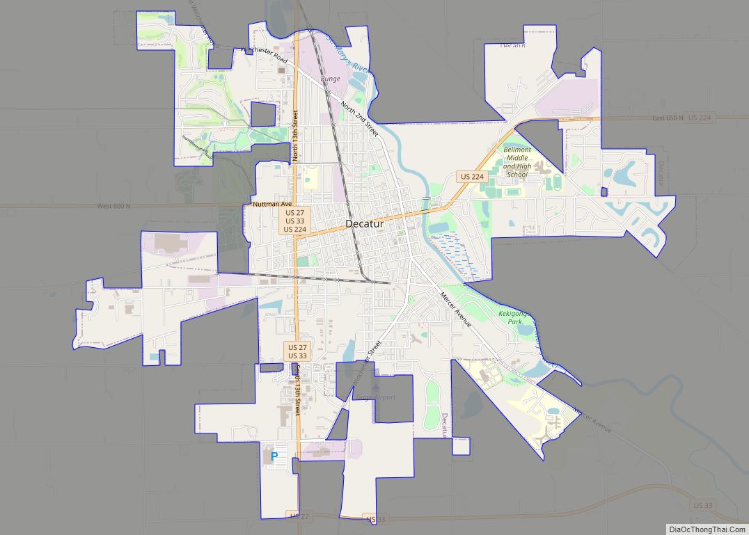
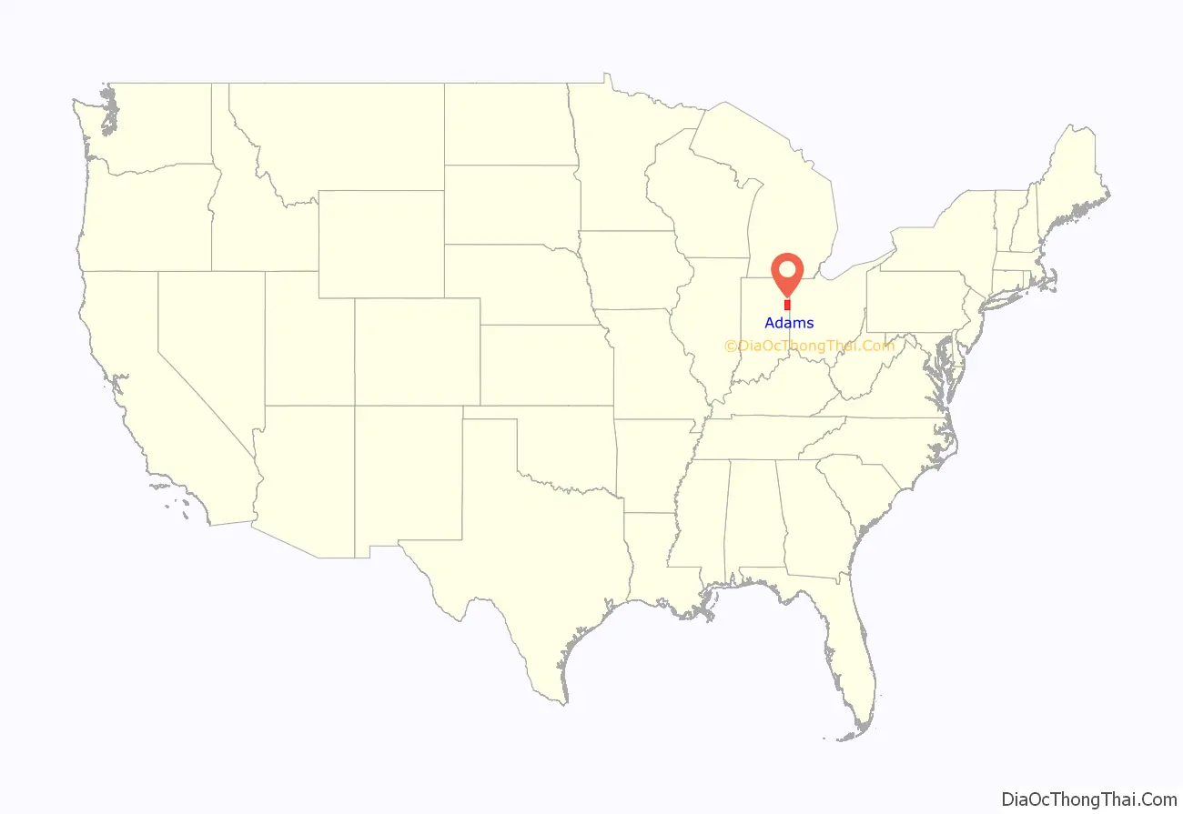
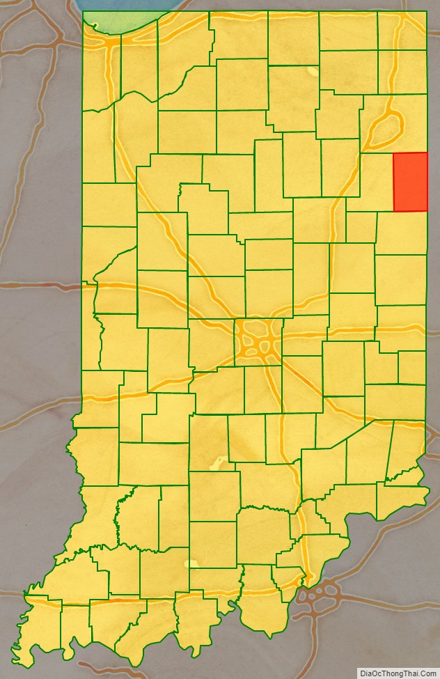
Adams County lies in northeastern Indiana in the United States and shares its eastern border with Ohio. It was officially established in 1836. The county seat is Decatur.
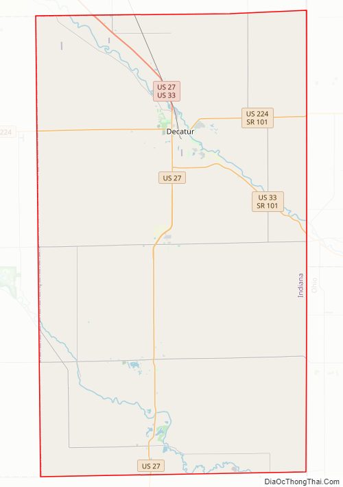
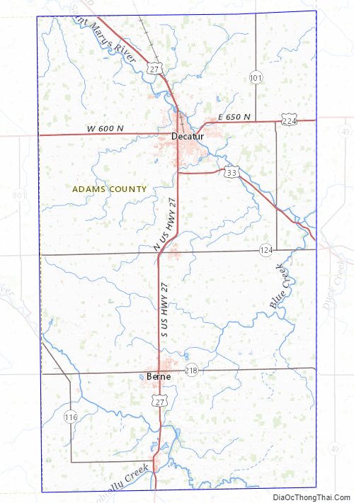
According to the 2020 census, its population was 35,809, an increase of 4.1% from 34,387 in 2010. The county has four incorporated cities and towns with a total population of over 15,000, as well as many small unincorporated communities. The county is divided into 12 townships which provide local services. There are four Indiana state roads in the county, as well as three U.S. Routes and one railroad line.
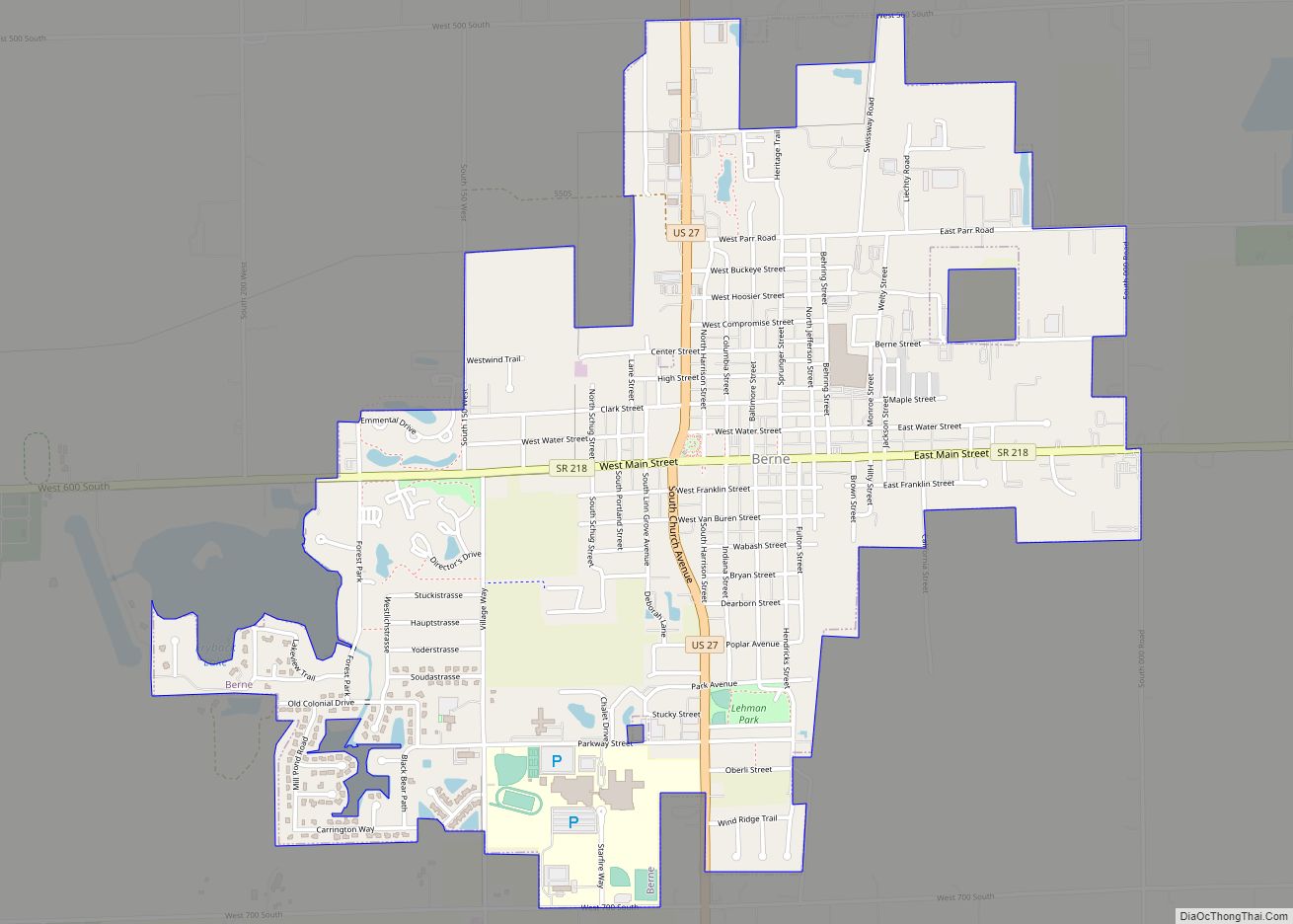
In 2017, about a quarter of the county’s population (estimated 8,600) was Swiss Amish that settled in the Southern half of the county around Berne.
| Name: | Adams County |
|---|---|
| FIPS code: | 18-001 |
| State: | Indiana |
| Founded: | March 1, 1836 |
| Named for: | John Quincy Adams |
| Seat: | Decatur |
| Largest city: | Decatur |
| Total Area: | 339.97 sq mi (880.5 km²) |
| Land Area: | 339.03 sq mi (878.1 km²) |
| Total Population: | 35,809 |
| Population Density: | 110/sq mi (41/km²) |
Adams County location map. Where is Adams County?
History
The statute that mandated creation of this county was passed on February 7, 1835, and the organization itself was authorized on March 1, 1836. Its name honors the sixth President of the United States, John Quincy Adams. Selection of the county seat was finalized on 18 May of that year.
The first non-Native settlers arrived in what is now Adams County in 1835, encouraged by the new Erie Canal and by the end of the Black Hawk War. They consisted entirely of settlers from New England. These were “Yankee” settlers, that is to say they were descended from the English Puritans who settled New England in the colonial era. They were primarily members of the Congregational Church although due to the Second Great Awakening many of them had converted to Methodism and some had become Baptists before coming to what is now Adams County. The Congregational Church subsequently has gone through many divisions and some factions are now known as the Church of Christ and the United Church of Christ. When these settlers arrived they found dense forest and wild prairie.
The first Amish settlers arrived in 1840; most came directly from Switzerland, preserving their Bernese German dialect, not adopting the Pennsylvania Dutch dialect of the majority of the Amish.
The Yankee settlers commissioned the first courthouse in 1839, a two-story frame building. The log-building jail was completed in 1837. The present Adams County courthouse was built in Decatur in 1872–1873 at a cost of $78,979. The designer was J. C. Johnson, who had been trained as a carpenter and joiner and became a self-taught architect; he won second place in the Indiana State Capitol design competition. The construction was done by Christian Boseker of Fort Wayne. It is built of red brick with stone ornamentation.
Adams County Road Map
Geography
According to the 2010 census, the county has a total area of 339.97 square miles (880.5 km), of which 339.03 square miles (878.1 km) (or 99.72%) is land and 0.94 square miles (2.4 km) (or 0.28%) is water.
Adams County Topographic Map
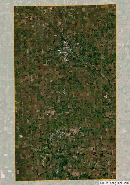
Adams County Satellite Map
Adams County Outline Map