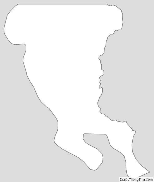
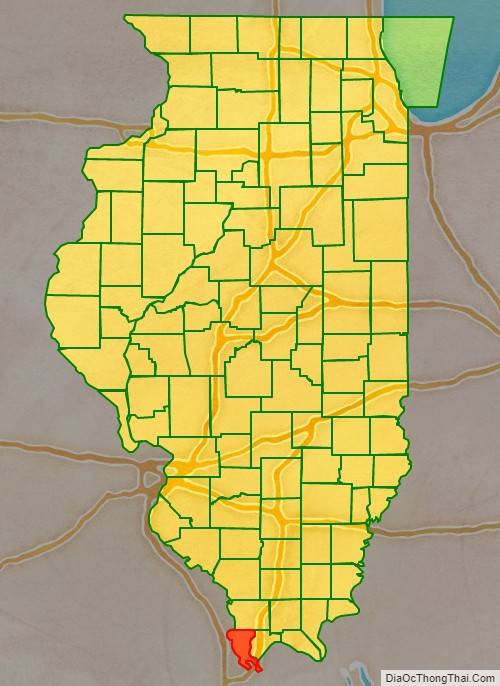
Alexander County is the southernmost and southwesternmost county in the U.S. state of Illinois. As of the 2020 census, the population was 5,240. Its county seat is Cairo and its western boundary is formed by the Mississippi River.
Alexander County is part of the Cape Girardeau, MO-IL Metropolitan Statistical Area which is made up of jurisdictions on both sides of the Mississippi River.
| Name: | Alexander County |
|---|---|
| FIPS code: | 17-003 |
| State: | Illinois |
| Founded: | 1819 |
| Named for: | William M. Alexander |
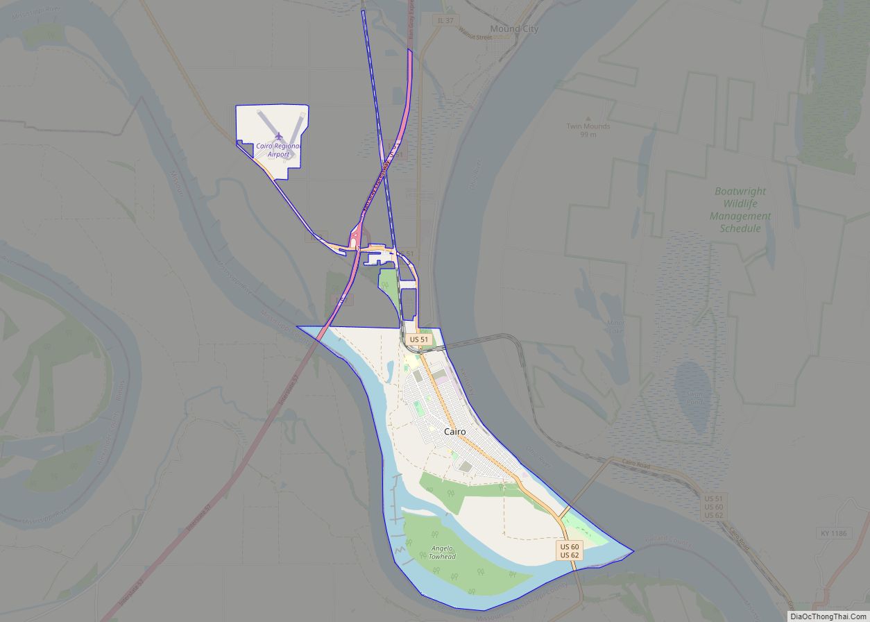
| Seat: | Cairo |
| Largest city: | Cairo |
| Total Area: | 253 sq mi (660 km²) |
| Land Area: | 236 sq mi (610 km²) |
| Total Population: | 5,240 |
| Population Density: | 21/sq mi (8.0/km²) |
| Time zone: | UTC−6 (Central) |
| Summer Time Zone (DST): | UTC−5 (CDT) |
| Website: | alexandercountyil.com |
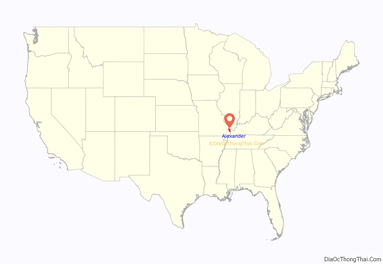
Alexander County location map. Where is Alexander County?
History
Alexander County was organized from part of Union County in 1819. It was named for William M. Alexander, a physician who practiced in the town of America (the first county seat). Alexander was elected as a representative to the state House, where he became Speaker of the Illinois House of Representatives in 1822.
The county was initially developed for agriculture and settled by numerous migrants from the Upper South. The county seat was moved to Unity in 1833, then to Thebes in 1843, and finally to Cairo in 1860. America, the first county seat, is now within Pulaski County, which was formed from Alexander and Johnson counties in 1843.
Alexander County between 1819 and 1843.
Alexander County reduced to its current borders in 1843 with the creation of Pulaski County.
Settled largely by white migrants from the Upland South, southern Illinois had many racial attitudes of the South. As African Americans settled in Cairo to seek jobs on steamboats, ferries, in shipping and railroads, there were tensions between the racial groups. White residents sometimes used violence and terrorism, as well as discrimination, to keep black residents in second-class positions. They excluded them from the city government and the police and fire departments, and relatively few African Americans were hired to work in the local stores.
There were three lynchings of blacks in Alexander County in the years between Reconstruction and the early 20th century. The county had the second-highest number of lynchings of African Americans in all of Illinois. The most notorious of these was the lynching of Will James before a crowd of white spectators estimated at 10,000, in the county seat of Cairo, Illinois on November 11, 1909. James was accused of murdering a young white woman. Later that same evening, the mob lynched a white man named Henry Salzner, hanging him in the courthouse square for allegedly killing his wife. Neither man had had a trial, nor was anyone ever prosecuted for the lynchings, even though Illinois had passed an anti-lynching law four years earlier.
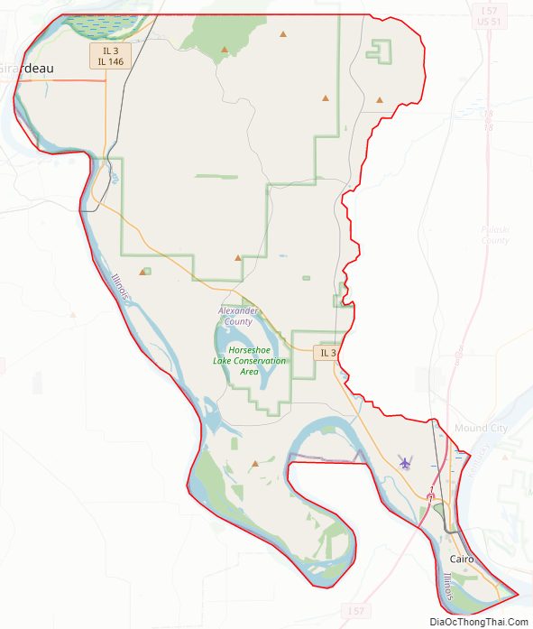
Alexander County Road Map
Geography
According to the U.S. Census Bureau, the county has a total area of 253 square miles (660 km), of which 236 square miles (610 km) is land and 17 square miles (44 km) (6.8%) is water. Its borders are partly defined by the Mississippi River and the Ohio River. The lowest point in the state of Illinois is located on the Mississippi River in Cairo in Alexander County, where it flows out of Illinois and into Kentucky.
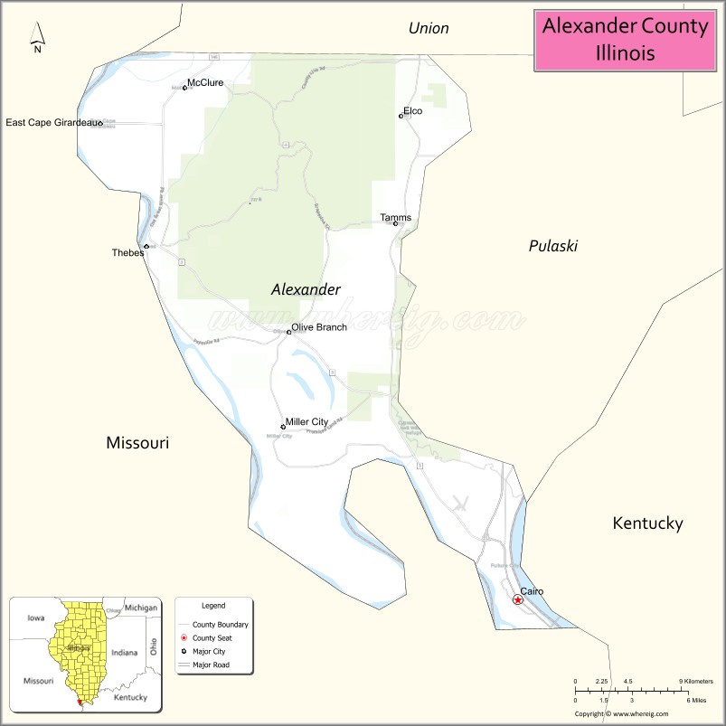
Adjacent counties
- Union County – north
- Ballard County, Kentucky – southeast
- Pulaski County – east
- Mississippi County, Missouri – south
- Scott County, Missouri – west
- Cape Girardeau County, Missouri – northwest
National protected areas
- Cypress Creek National Wildlife Refuge (part)
- Shawnee National Forest (part)
Major highways
- Interstate 57
- U.S. Route 51
- U.S. Route 60
- U.S. Route 62
- Illinois Route 3
- Illinois Route 37
- Illinois Route 127
- Illinois Route 146
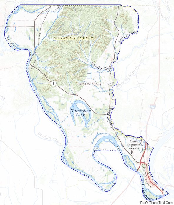
Alexander County Topographic Map
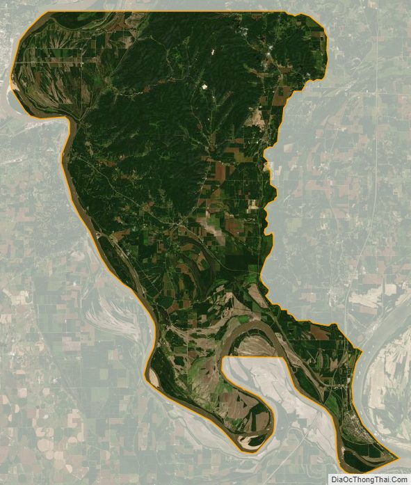
Alexander County Satellite Map
Alexander County Outline Map