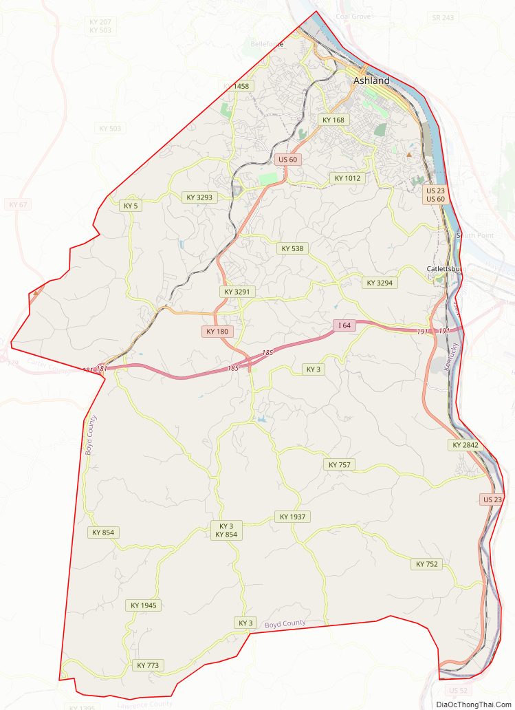
Boyd County is a county located in the U.S. state of Kentucky. As of the 2020 census, its population was 48,261. The county seat is Catlettsburg, and its largest city is Ashland. The county was formed in 1860. Its 160 square miles (410 km) are found at the northeastern edge of the state near the Ohio River and Big Sandy River, nestled in the verdant rolling hills of Appalachia. Boyd County is in the Huntington-Ashland, WV-KY-OH metropolitan statistical area.
| Name: | Boyd County |
|---|---|
| FIPS code: | 21-019 |
| State: | Kentucky |
| Founded: | 1860 |
| Named for: | Linn Boyd |
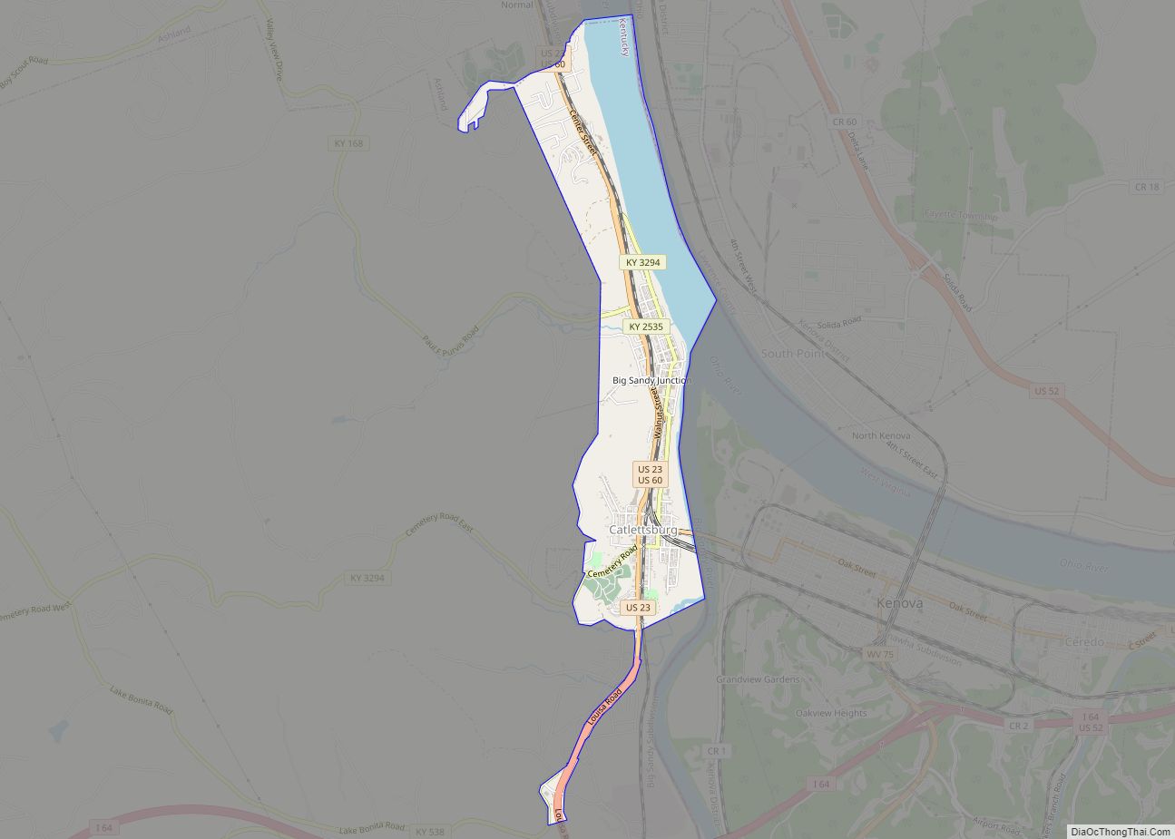
| Seat: | Catlettsburg |
| Largest city: | Ashland |
| Total Area: | 162 sq mi (420 km²) |
| Land Area: | 160 sq mi (400 km²) |
| Total Population: | 48,261 |
| Population Density: | 300/sq mi (120/km²) |
| Time zone: | UTC−5 (Eastern) |
| Summer Time Zone (DST): | UTC−4 (EDT) |
| Website: | boydcountyky.gov |
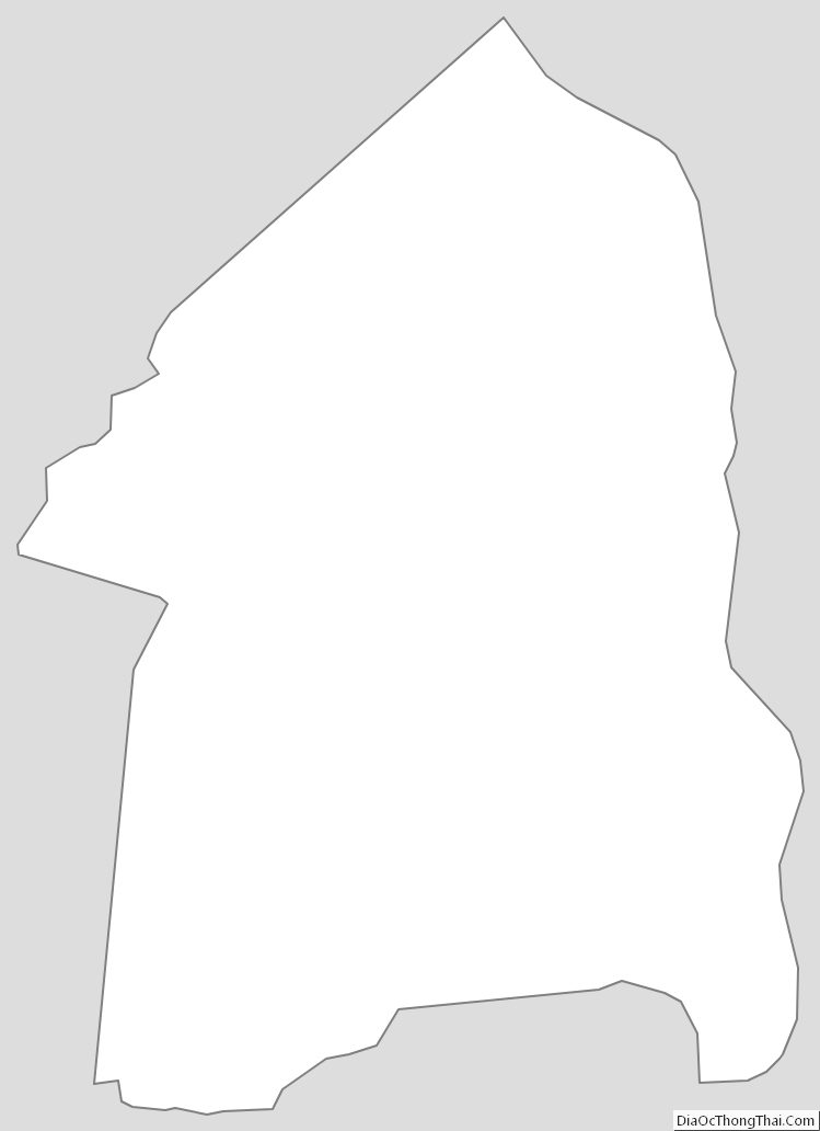
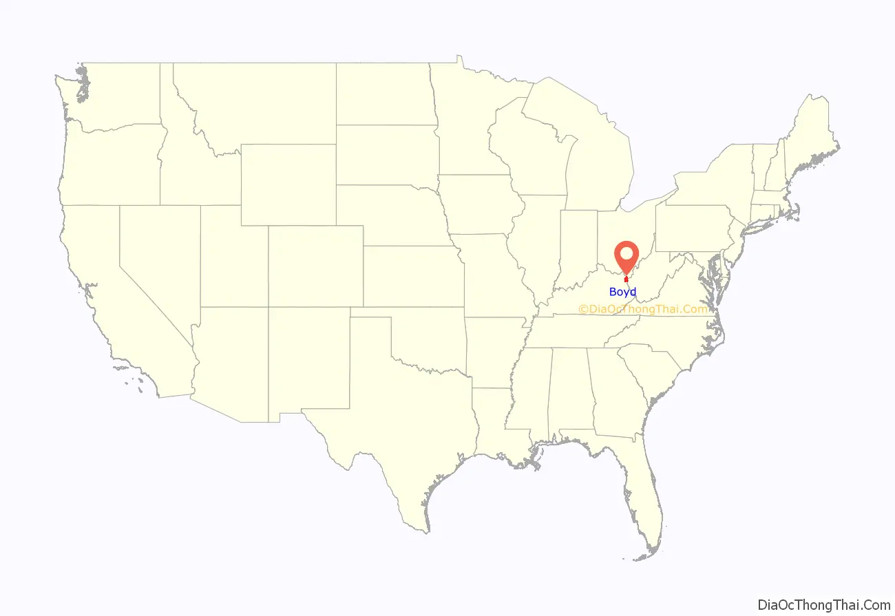
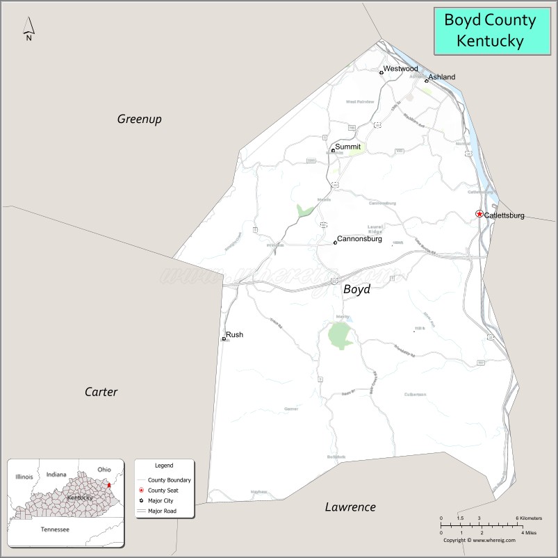
Boyd County location map. Where is Boyd County?
History
Boyd County was the 107th of 120 counties formed in Kentucky and was established in 1860 from parts of surrounding Greenup, Carter, and Lawrence Counties. It was named for Linn Boyd of Paducah, former U.S. congressman, speaker of the United States House of Representatives, who died in 1859 soon after being elected lieutenant governor of Kentucky.
The earliest evidence of human habitation in Boyd County exists in the forms of numerous earthen mounds containing human skeletons and burial goods, giving evidence that prehistoric Native Americans inhabited the area. A 1973 archeological find revealed a serpent-shaped mound built of rocks dating to 2000 BC and stretching for 900 feet (270 m) along a ridge parallel to the Big Sandy River south of Catlettsburg.
One of the early settlers in what is now Boyd County was Charles (“One-handed Charley”) Smith, from Virginia. A veteran of the French and Indian War who had served under Col. George Washington in 1754, Smith received for that service roughly 400 acres (1.6 km) around Chadwicks Creek, where he built a cabin in 1774. Smith died in 1776, and in 1797, this land passed to Alexander Catlett for whom the town of Catlettsburg is named.
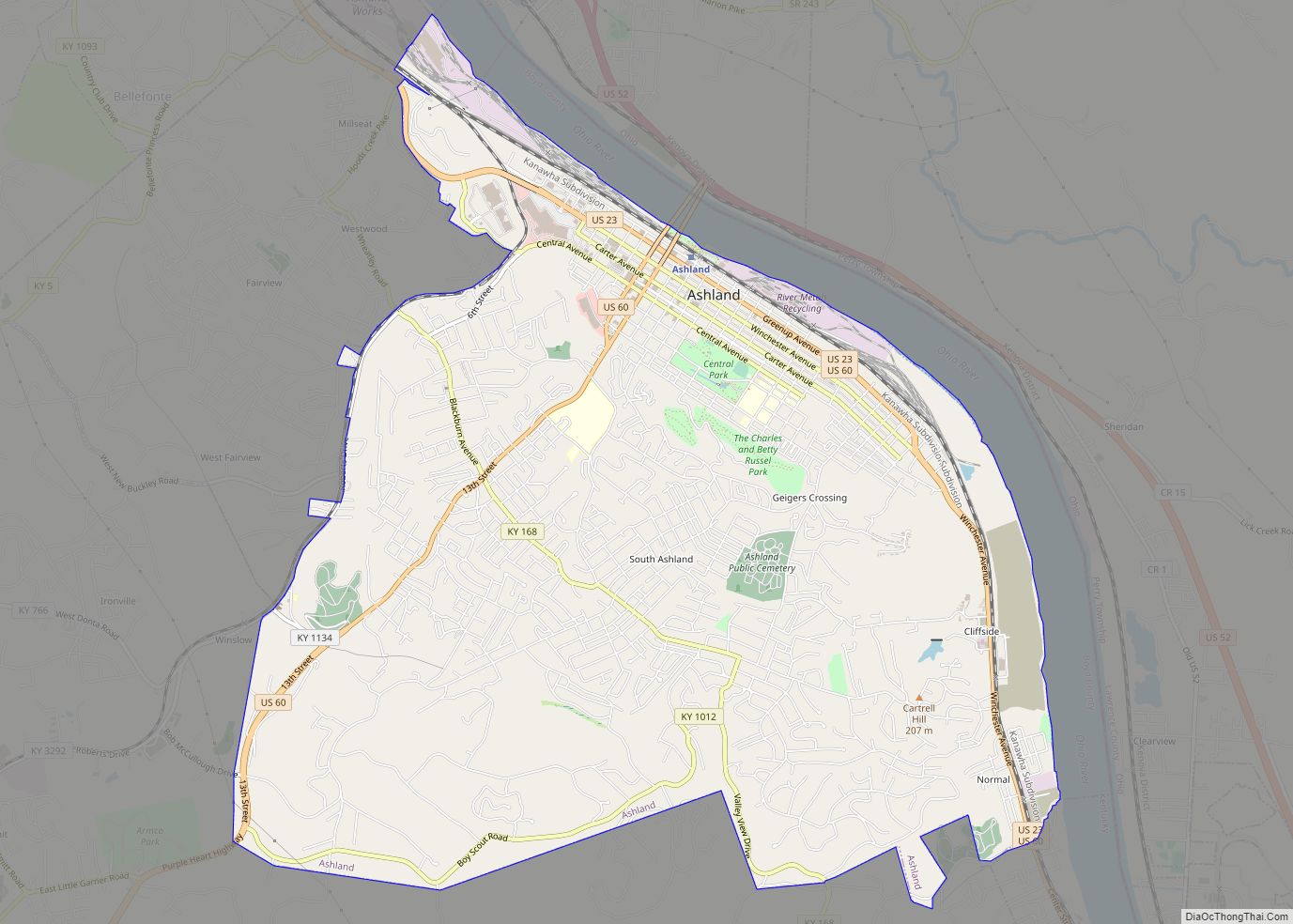
The Poage family arrived from Staunton, Virginia, in October 1799 and formed Poage’s Landing, later renamed the city of Ashland.
The first courthouse built in 1861 was replaced in 1912.
Industry
Members of the Poage family built the steam-powered Clinton iron furnace in 1832, the earliest industry in present-day Boyd County. A total of 29 charcoal-fueled iron furnaces operated on the Kentucky side of the Ohio River, seven of them in present-day Boyd County.
The Kentucky Iron, Coal and Manufacturing Company was incorporated on March 8, 1854, and it laid out the town of Ashland, then within Greenup County. The company purchased thousands of acres of coal, timber, and ore lands throughout the county. It invested US$210,000 in bonds of the Lexington & Big Sandy River Railroad Company, with the stipulation that the eastern division of that line extend into Ashland instead of ending, as originally planned, in Catlettsburg. The early presence of the railroad in Ashland was largely responsible for this city becoming the dominant municipality of the county.
Ashland furnace was sold to American Rolling Mill Company in 1921, which developed into Armco Steel Corporation. In 1963, Armco constructed the Amanda furnace, one of the largest blast furnaces in the world. Known today as AK Steel, the industry remains a major employer in northeastern Kentucky.
Ashland Oil, Inc., at one time the largest corporation headquartered in Kentucky, was started in 1924 at Leach Station, south of Catlettsburg, by Paul G. Blazer. Best known for their Valvoline Oil products, Ashland Oil relocated to Covington, Kentucky, in 1999, merged with Marathon Oil, and sold its remaining petroleum shares to Marathon in 2005, dissolving their petroleum division. The original oil refinery, located in Catlettsburg, is still in operation today and is currently owned by Marathon Petroleum Corporation.
Calgon Carbon constructed the Big Sandy Plant in 1961 and it has since become the world’s largest producer of granular activated carbon. The facility produces in excess of 100 million pounds of granular activated carbon annually.
Alcohol sales
On November 3, 2020, residents voted in favor of allowing full retail sales of alcohol countywide. Prior to November 2020, Boyd County only allowed alcohol sales in restaurants that seated over 100 people and derived at least 70% of their income from food sales. The one exception was three election precincts within the city of Ashland, covering the downtown area, where all retail alcohol sales were permitted.
Boyd County Road Map
Geography
According to the United States Census Bureau, the county has a total area of 162 square miles (420 km), of which 2.2 square miles (5.7 km) (1.3%) are covered by water.
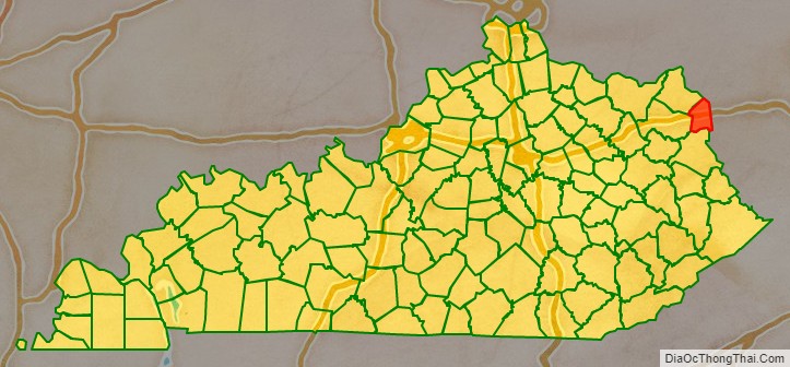
Adjacent counties
- Greenup County (northwest)
- Lawrence County, Ohio (northeast)
- Wayne County, West Virginia (east)
- Lawrence County (south)
- Carter County (west)
Boyd County Topographic Map
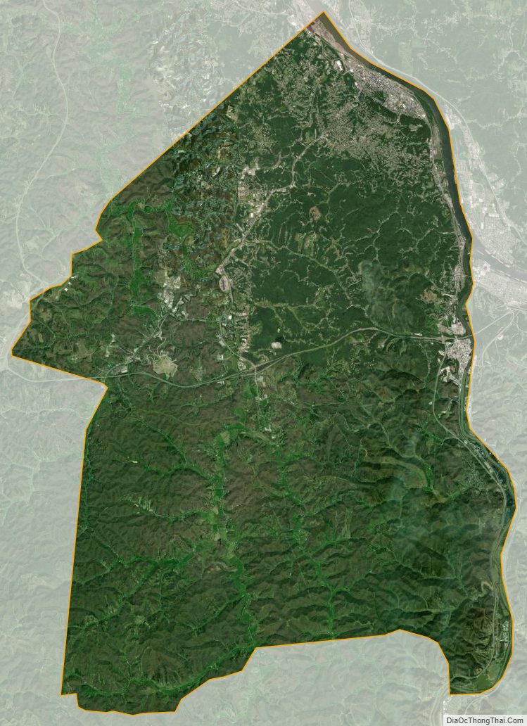
Boyd County Satellite Map
Boyd County Outline Map