Brantley County is a county located in the southeastern part of the U.S. state of Georgia. As of the 2020 census, the population was 18,021. The county seat is Nahunta. Brantley County is part of the Brunswick, Georgia Metropolitan Statistical Area.
| Name: | Brantley County |
|---|---|
| FIPS code: | 13-025 |
| State: | Georgia |
| Founded: | 1920 |
| Named for: | William Gordon Brantley |
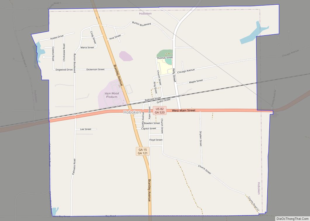
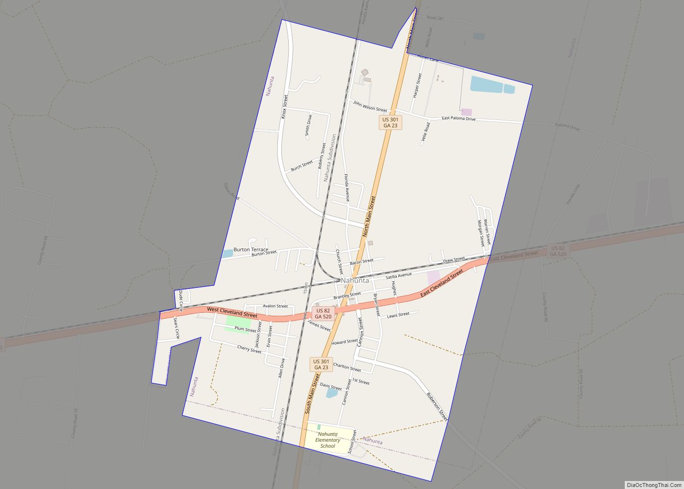
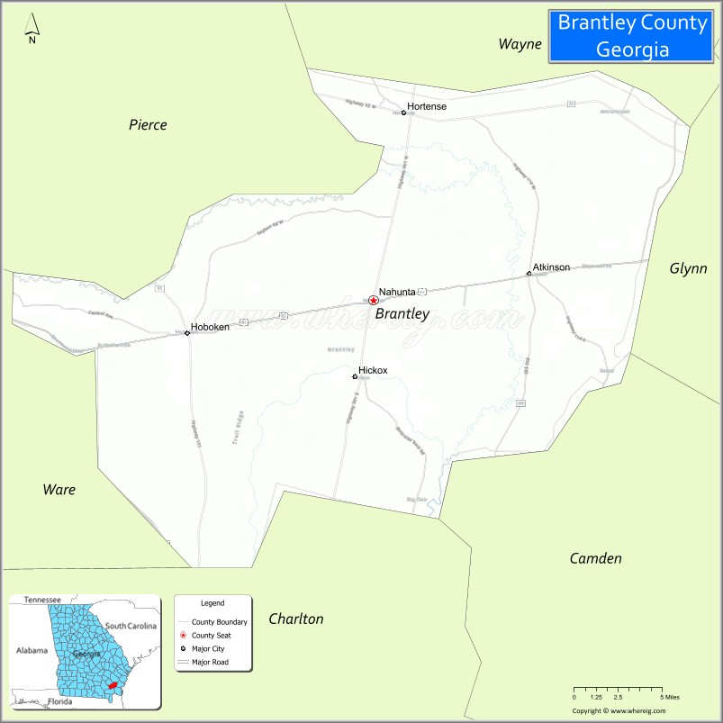
| Seat: | Nahunta |
| Largest city: | Nahunta |
| Total Area: | 447 sq mi (1,160 km²) |
| Land Area: | 442 sq mi (1,140 km²) |
| Total Population: | 18,021 |
| Population Density: | 42/sq mi (16/km²) |
| Time zone: | UTC−5 (Eastern) |
| Summer Time Zone (DST): | UTC−4 (EDT) |
| Website: | brantleycountyga.com |
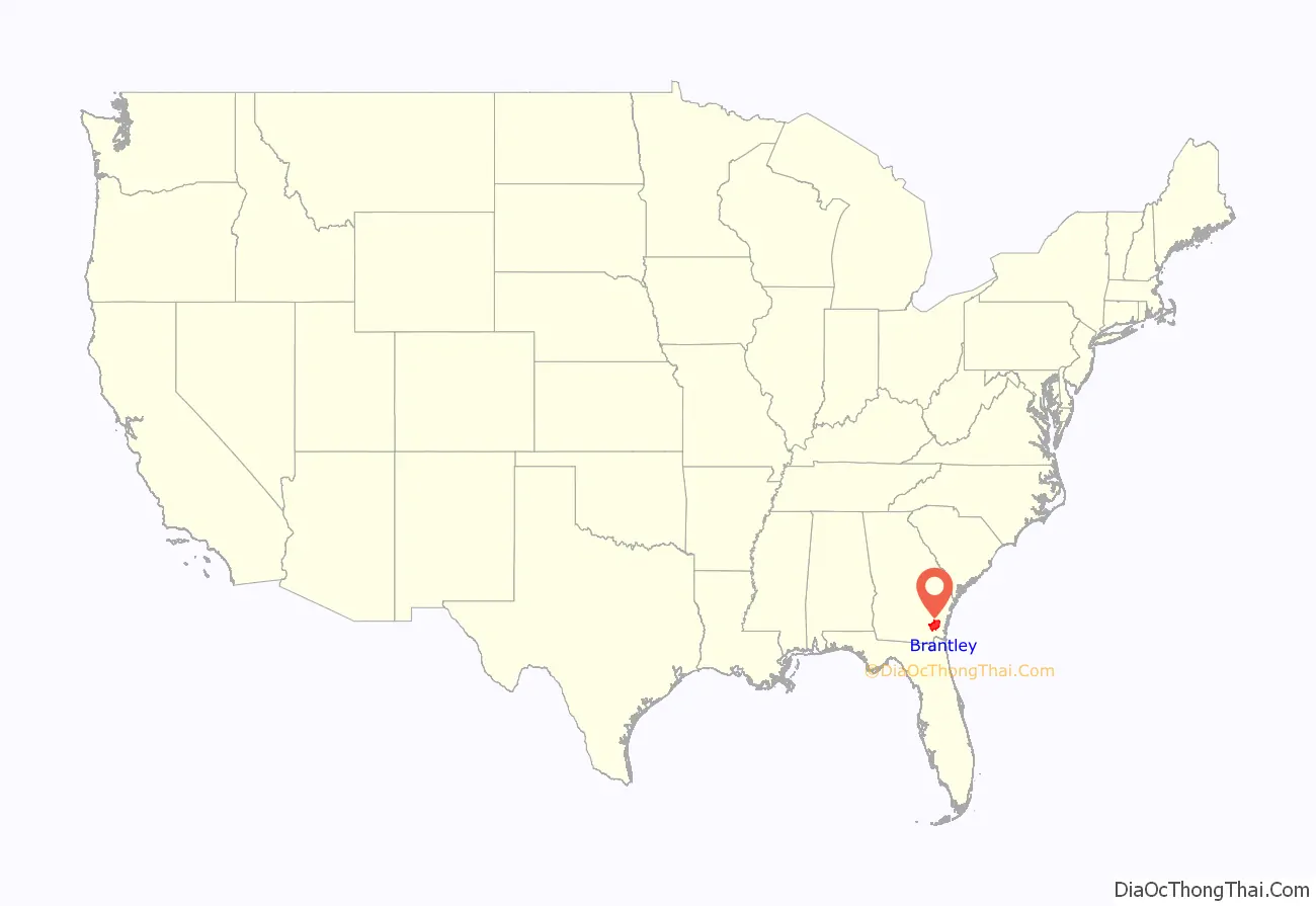
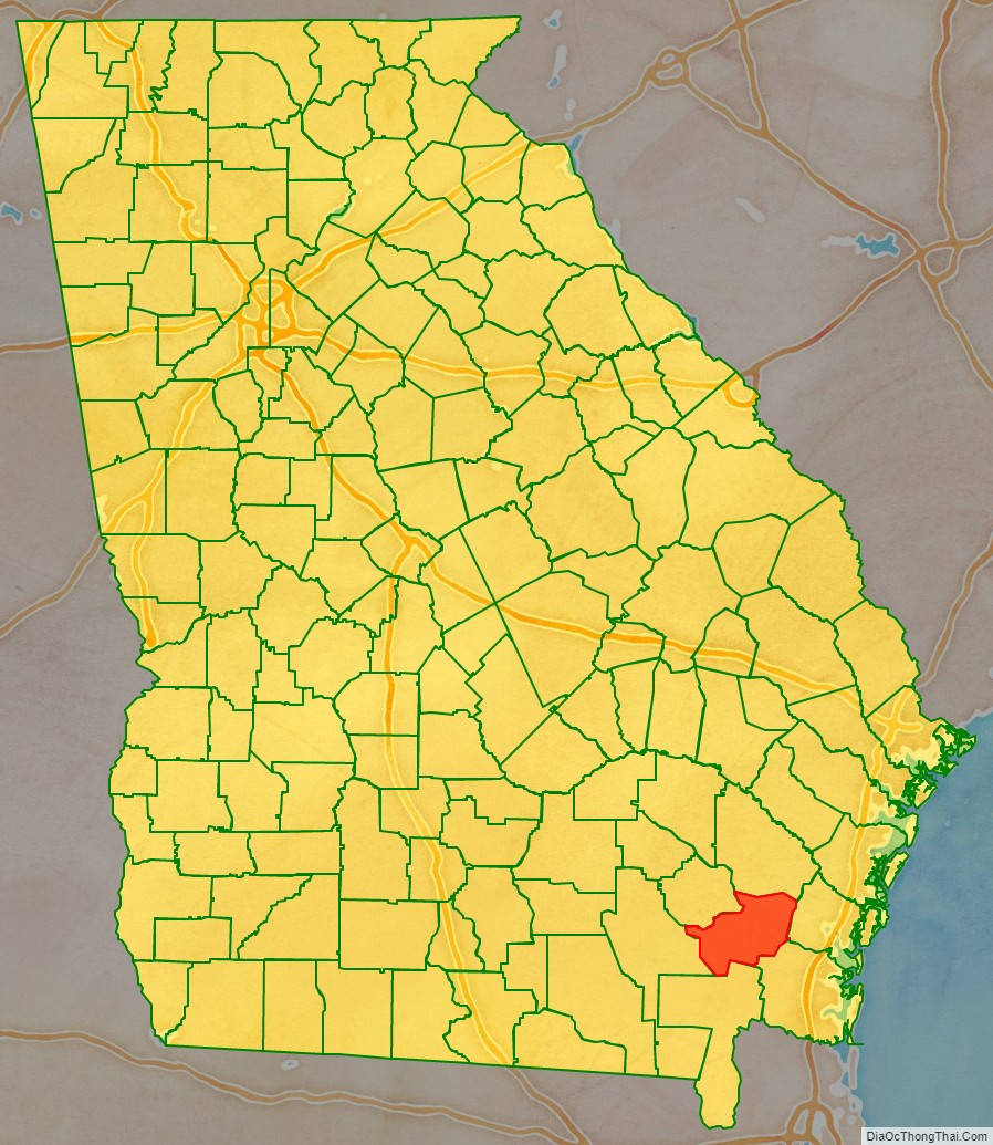
Brantley County location map. Where is Brantley County?
History
Georgia voters passed a state constitutional amendment on November 2, 1920, to form Brantley County from pieces of Charlton, Pierce, and Wayne counties. Although the precise origin of the county name is unknown, it is believed that it honors U.S. congressman William Gordon Brantley.
Brantley County Road Map
Geography
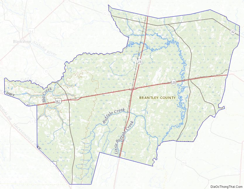
According to the U.S. Census Bureau, the county has a total area of 447 square miles (1,160 km), of which 442 square miles (1,140 km) is land and 4.8 square miles (12 km) (1.1%) is water. The Satilla River runs through Brantley County.
The bulk of Brantley County, from east of Hortense south to west of Waynesville and west to east of Waycross, is located in the Satilla River sub-basin of the St. Marys-Satilla basin. The county’s eastern border area, east of Waynesville, is located in the Cumberland-St. Simons sub-basin of the St. Marys-Satilla River basin. A small northwestern corner, west of Hortense, is located in the Little Satilla sub-basin of the larger St. Marys-Satilla River basin, and a very small southwestern corner of Brantley County is located in the Upper Suwannee River sub-basin of the larger Suwannee River basin.
Major highways
- U.S. Route 82
- U.S. Route 301
- State Route 15
- State Route 23
- State Route 32
- State Route 110
- State Route 121
- State Route 520
Adjacent counties
- Wayne County – northeast
- Glynn County – east
- Camden County – southeast
- Charlton County – southwest
- Ware County – west
- Pierce County – northwest
Brantley County Topographic Map
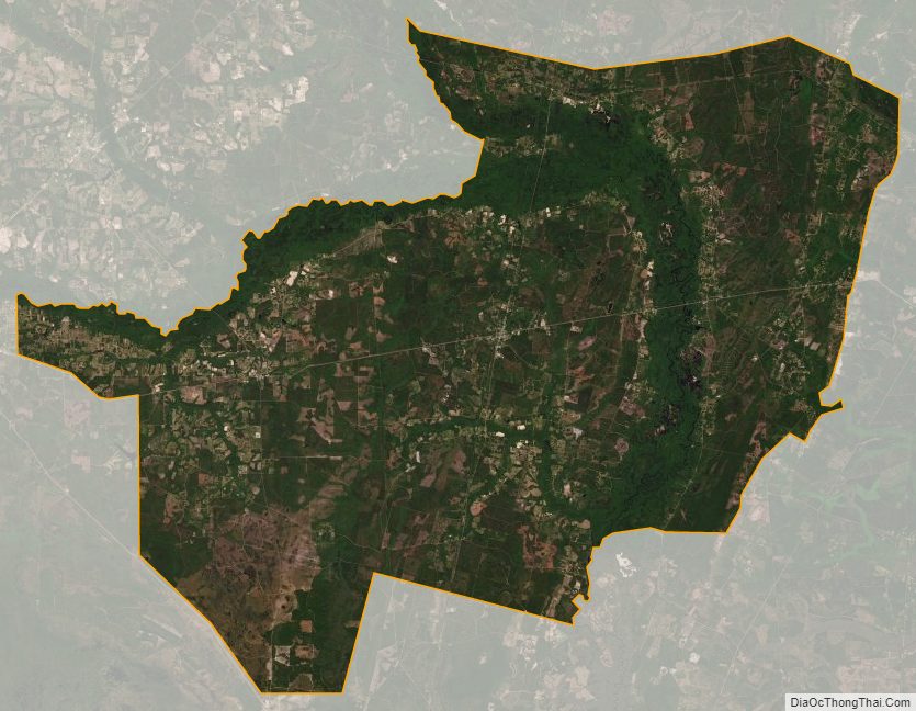
Brantley County Satellite Map
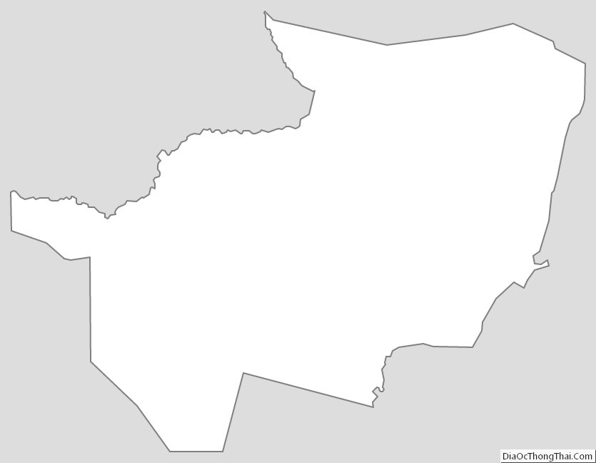
Brantley County Outline Map