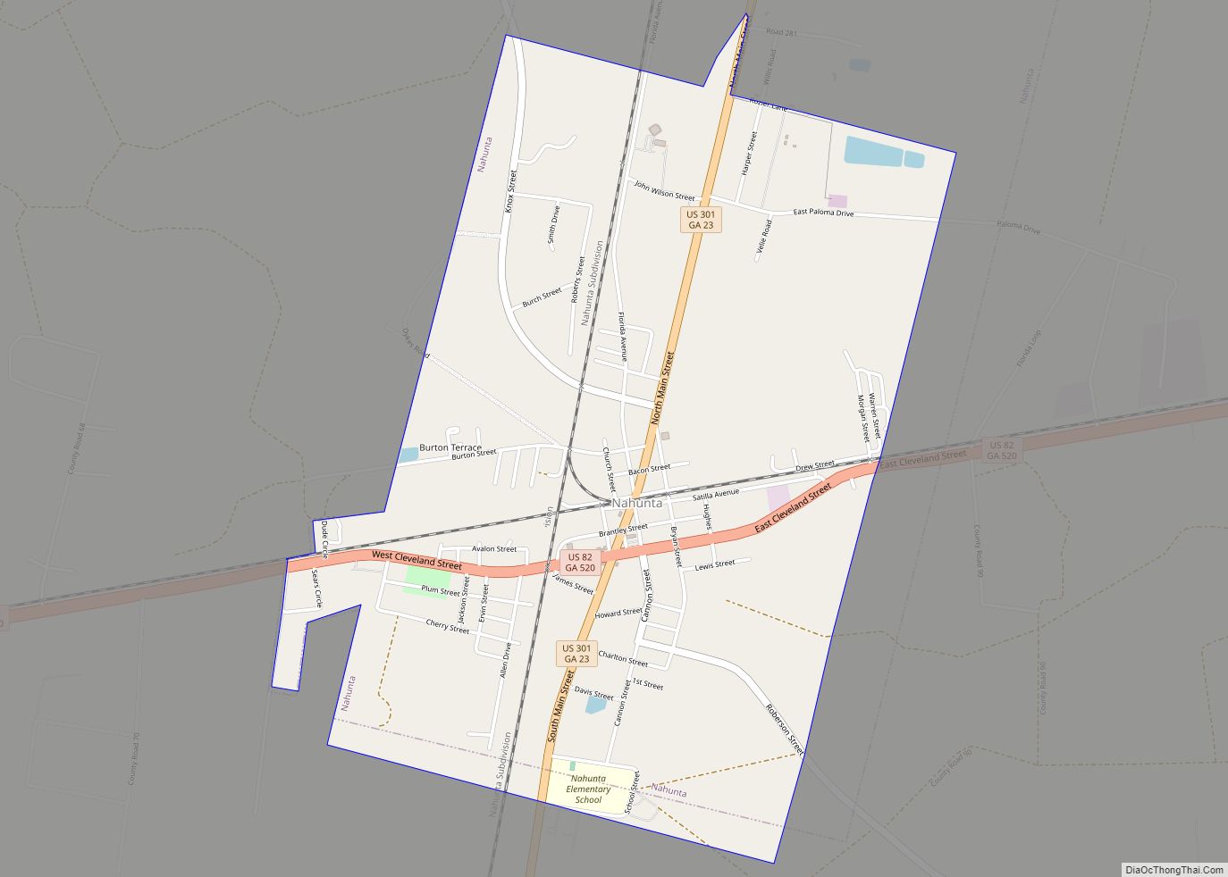
Nahunta is a city in Brantley County, Georgia, United States. It is the county seat of Brantley County. It is part of the Brunswick, Georgia Metropolitan Statistical Area. The population was 1,053 at the 2010 census. The city is an important crossroad which is intersected by U.S. Route 82 and U.S. Route 301 in its downtown area.
| Name: | Nahunta city |
|---|---|
| LSAD Code: | 25 |
| LSAD Description: | city (suffix) |
| State: | Georgia |
| County: | Brantley County |
| Elevation: | 66 ft (20 m) |
| Total Area: | 2.83 sq mi (7.34 km²) |
| Land Area: | 2.82 sq mi (7.30 km²) |
| Water Area: | 0.01 sq mi (0.04 km²) |
| Total Population: | 1,013 |
| Population Density: | 359.35/sq mi (138.75/km²) |
| ZIP code: | 31553 |
| Area code: | 912 |
| FIPS code: | 1354124 |
| GNISfeature ID: | 0319189 |
Online Interactive Map
Click on ![]() to view map in "full screen" mode.
to view map in "full screen" mode.
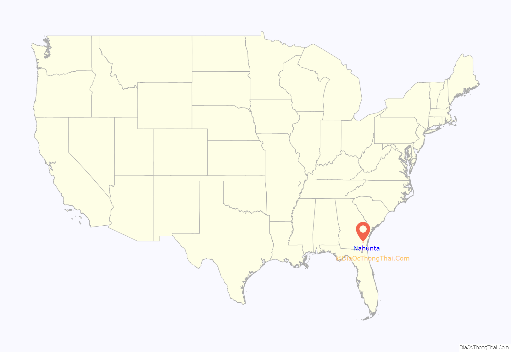
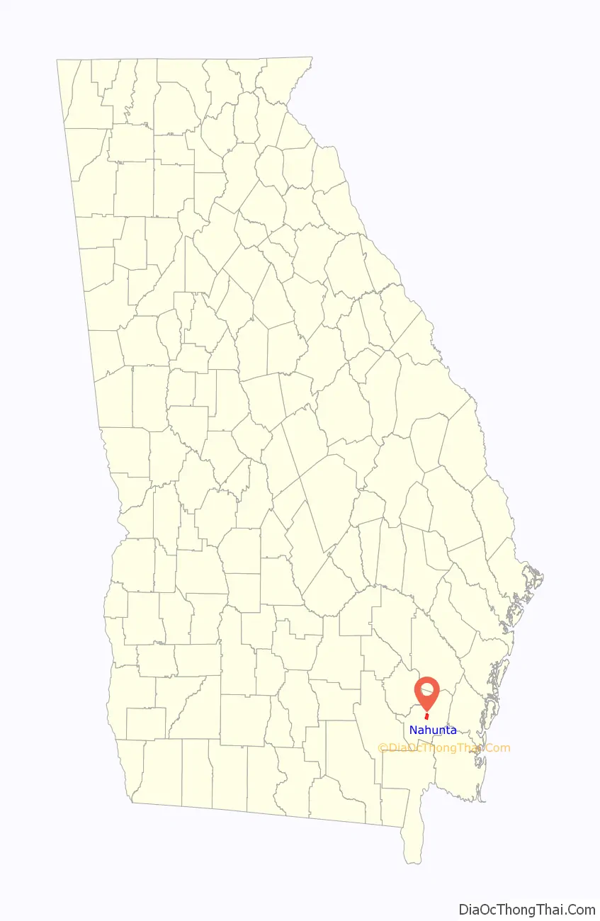
Nahunta location map. Where is Nahunta city?
History
Nahunta, originally called Victoria, was founded about 1870. It is believed that the town was renamed in 1899 for timber executive N.A. Hunter, but the origin of the name has never been officially verified. In 1923, the seat of Brantley County was transferred to Nahunta from Hoboken.
The Georgia General Assembly incorporated Nahunta as a city in 1925.
In the late 1970s and early 1980s, Nahunta gained national attention for its armadillo festival during the first weekend in May, that included the “Brantley County Armadillo Olympics” and “a cookout with armadillo prominently featured on the menu”.
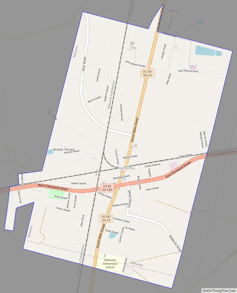
Nahunta Road Map
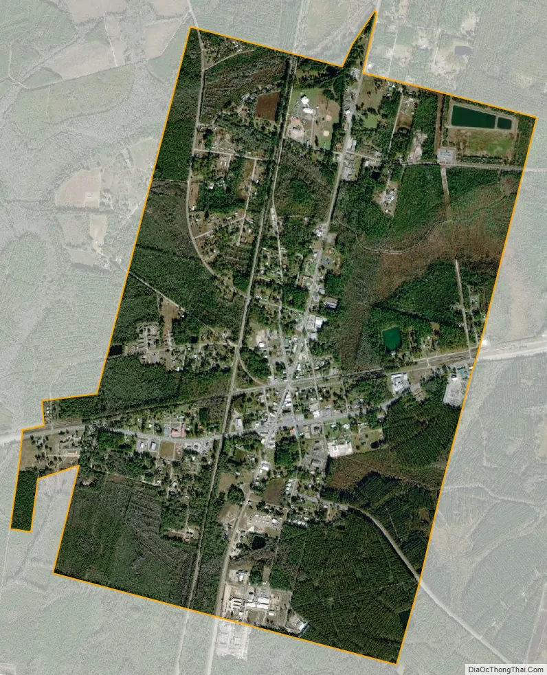
Nahunta city Satellite Map
Geography
Nahunta is located at 31°12′16″N 81°58′56″W / 31.20444°N 81.98222°W / 31.20444; -81.98222 (31.204527, -81.982285).
According to the United States Census Bureau, the city has a total area of 2.8 square miles (7.3 km), of which 0.019 square miles (0.05 km), or 0.65%, is water.
Climate
According to the Köppen Climate Classification system, Nahunta has a humid subtropical climate, abbreviated “Cfa” on climate maps. The hottest temperature recorded in was 104 °F (40.0 °C) on July 7, 1990 and July 21, 2000, while the coldest temperature recorded was 3 °F (−16.1 °C) on January 21, 1985.
See also
Map of Georgia State and its subdivision:- Appling
- Atkinson
- Bacon
- Baker
- Baldwin
- Banks
- Barrow
- Bartow
- Ben Hill
- Berrien
- Bibb
- Bleckley
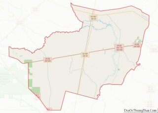
- Brantley
- Brooks
- Bryan
- Bulloch
- Burke
- Butts
- Calhoun
- Camden
- Candler
- Carroll
- Catoosa
- Charlton
- Chatham
- Chattahoochee
- Chattooga
- Cherokee
- Clarke
- Clay
- Clayton
- Clinch
- Cobb
- Coffee
- Colquitt
- Columbia
- Cook
- Coweta
- Crawford
- Crisp
- Dade
- Dawson
- Decatur
- DeKalb
- Dodge
- Dooly
- Dougherty
- Douglas
- Early
- Echols
- Effingham
- Elbert
- Emanuel
- Evans
- Fannin
- Fayette
- Floyd
- Forsyth
- Franklin
- Fulton
- Gilmer
- Glascock
- Glynn
- Gordon
- Grady
- Greene
- Gwinnett
- Habersham
- Hall
- Hancock
- Haralson
- Harris
- Hart
- Heard
- Henry
- Houston
- Irwin
- Jackson
- Jasper
- Jeff Davis
- Jefferson
- Jenkins
- Johnson
- Jones
- Lamar
- Lanier
- Laurens
- Lee
- Liberty
- Lincoln
- Long
- Lowndes
- Lumpkin
- Macon
- Madison
- Marion
- McDuffie
- McIntosh
- Meriwether
- Miller
- Mitchell
- Monroe
- Montgomery
- Morgan
- Murray
- Muscogee
- Newton
- Oconee
- Oglethorpe
- Paulding
- Peach
- Pickens
- Pierce
- Pike
- Polk
- Pulaski
- Putnam
- Quitman
- Rabun
- Randolph
- Richmond
- Rockdale
- Schley
- Screven
- Seminole
- Spalding
- Stephens
- Stewart
- Sumter
- Talbot
- Taliaferro
- Tattnall
- Taylor
- Telfair
- Terrell
- Thomas
- Tift
- Toombs
- Towns
- Treutlen
- Troup
- Turner
- Twiggs
- Union
- Upson
- Walker
- Walton
- Ware
- Warren
- Washington
- Wayne
- Webster
- Wheeler
- White
- Whitfield
- Wilcox
- Wilkes
- Wilkinson
- Worth
- Alabama
- Alaska
- Arizona
- Arkansas
- California
- Colorado
- Connecticut
- Delaware
- District of Columbia
- Florida
- Georgia
- Hawaii
- Idaho
- Illinois
- Indiana
- Iowa
- Kansas
- Kentucky
- Louisiana
- Maine
- Maryland
- Massachusetts
- Michigan
- Minnesota
- Mississippi
- Missouri
- Montana
- Nebraska
- Nevada
- New Hampshire
- New Jersey
- New Mexico
- New York
- North Carolina
- North Dakota
- Ohio
- Oklahoma
- Oregon
- Pennsylvania
- Rhode Island
- South Carolina
- South Dakota
- Tennessee
- Texas
- Utah
- Vermont
- Virginia
- Washington
- West Virginia
- Wisconsin
- Wyoming