Bullitt County is a county located in the north central portion of the U.S. state of Kentucky. As of the 2020 census, the population was 82,217. Its county seat is Shepherdsville. The county was founded in 1796. Located just south of the city of Louisville, Bullitt County is included in the Louisville/Jefferson County, KY-IN Metropolitan Statistical Area, commonly known as Kentuckiana. The western fifth of the county (62 sq. miles/40,000 acres (160 km)) is part of the United States Army post of Fort Knox and is reserved for military training.
| Name: | Bullitt County |
|---|---|
| FIPS code: | 21-029 |
| State: | Kentucky |
| Founded: | 1792 |
| Named for: | Alexander Scott Bullitt |
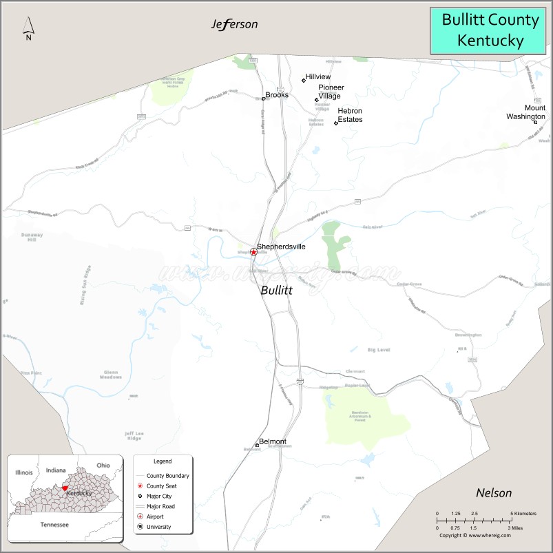
| Seat: | Shepherdsville |
| Largest city: | Mount Washington |
| Total Area: | 300 sq mi (800 km²) |
| Land Area: | 297 sq mi (770 km²) |
| Total Population: | 82,217 |
| Population Density: | 270/sq mi (110/km²) |
| Time zone: | UTC−5 (Eastern) |
| Summer Time Zone (DST): | UTC−4 (EDT) |
| Website: | bullittky.com |
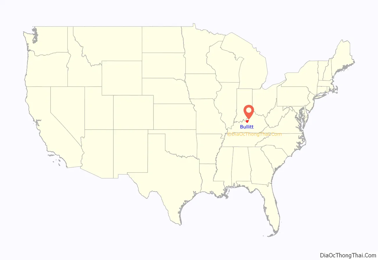
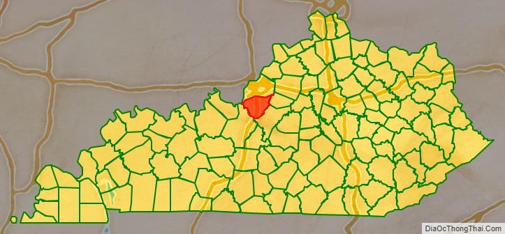
Bullitt County location map. Where is Bullitt County?
History
The first inhabitants of the land that would become Bullitt County were the Paleo-Indians who entered North America approximately 11,500 to 10,000 years BP. These people, whose ancestors can be traced back to Eastern and Central Asia, were nomadic. They were hunters and gatherers whose remains have been discovered near the area’s mineral springs or salt licks, where big game such as the mammoth, bison and ground sloth once gathered. Native Americans were their descendants, including the Shawnee people, who probably considered this region part of their homeland and certainly valued it as a hunting ground.
Both France and Britain had traders and colonists who encountered the Shawnee. European colonization of the Americas led to competing claims between those nations to the lands west of the Appalachians and east of the Mississippi River. After suffering defeat by Great Britain in the Seven Years’ War (known as the French and Indian War in its North American front), France ceded control in 1763 of its claimed territories.
For thousands of years before the county’s formation, nutrient-rich salt licks attracted large herds of bison and other game to the area. Native American tribes made it their hunting grounds, as did the 18th century longhunter. In 1773, after the French and Indian War, the Virginia governor sent Captain Thomas Bullitt (uncle to Alexander Scott Bullitt) into the area to survey for land grants. The most historic of the county’s salt licks, Bullitt’s Lick, is named after him. As the Revolutionary War led to widespread salt shortages, the Lick became the site of Kentucky’s first industry, attracting many settlers to the area.
Colonial veterans of the war were promised land in what was later called Kentucky. Bullitt’s Lick became an important saltwork to the region; its salt was harvested and sent by pack train and flatboat as far off as Illinois to the west. The Bullitt’s Lick saltwork was Kentucky’s first industry and in production until around 1830. By that time, the steamboat and importing of salt brought access to less expensive sources.
The first settlement of the area was also the first station on the Wilderness Road between Harrodsburg and the Falls of the Ohio. It was a fort called Brashear’s Station or the Salt River Garrison, built in 1779 at the mouth of Floyd’s Fork. Most of the county was settled after the American Revolutionary War. Shepherdsville, named after Adam Shepherd, a prosperous business man who purchased the land near the Falls of Salt River in 1793, is the oldest town and became the county seat.
In December 1796 the county of Bullitt, named after Thomas Bullitt’s nephew and Kentucky’s first Lieutenant Governor Alexander Scott Bullitt, was organized from land taken from Jefferson and Nelson counties through an act approved on December 13, 1796, by the Kentucky General Assembly. In 1811, the northwestern area of the county expanded to include land given by Jefferson County. In 1824, an eastern area of the county was given to help form Spencer County.
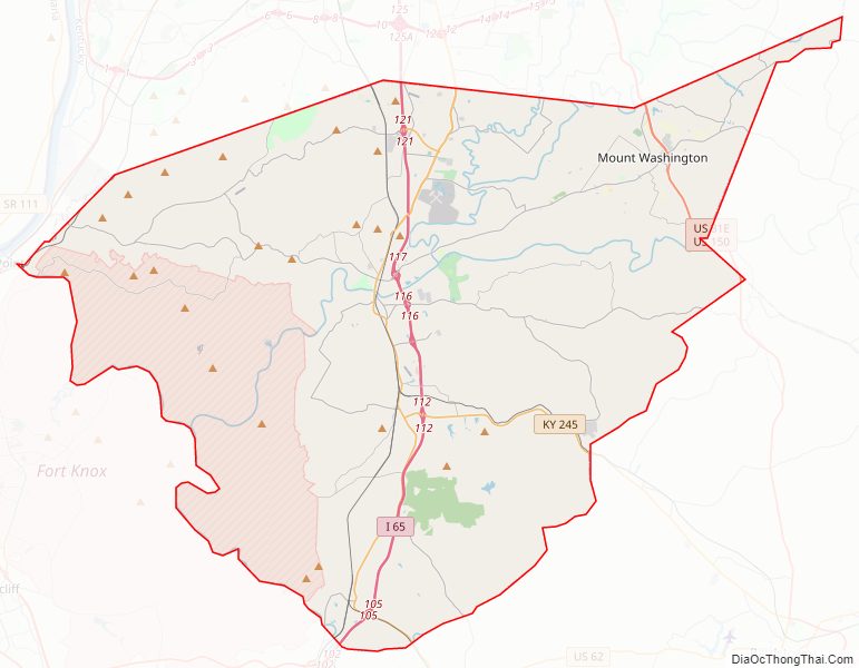
Bullitt County Road Map
Geography
According to the United States Census Bureau, the county has a total area of 300 square miles (780 km), of which 297 square miles (770 km) is land and 3.2 square miles (8.3 km) (1.1%) is water. The county is located in the far western Bluegrass region known as the Knobs.
Adjacent counties
- Jefferson County – (north)
- Spencer County – (east)
- Nelson County – (southeast)
- Hardin County – (southwest)
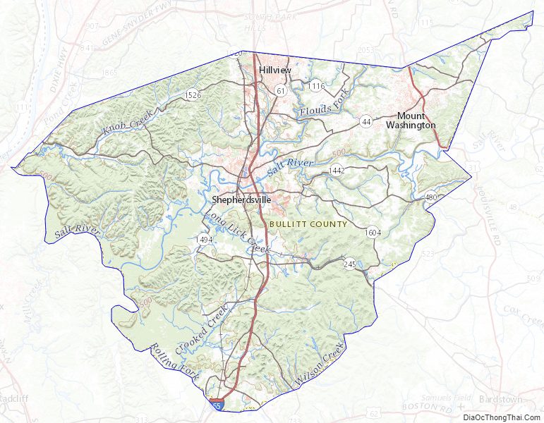
Bullitt County Topographic Map
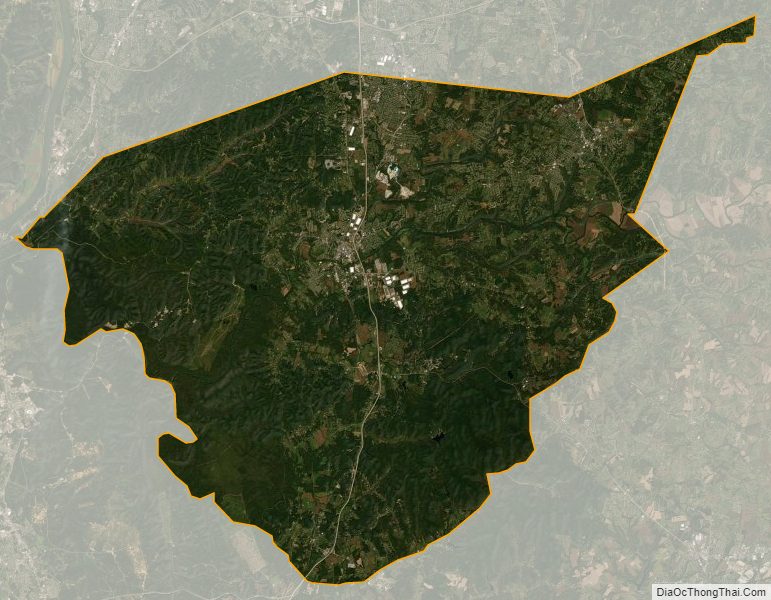
Bullitt County Satellite Map
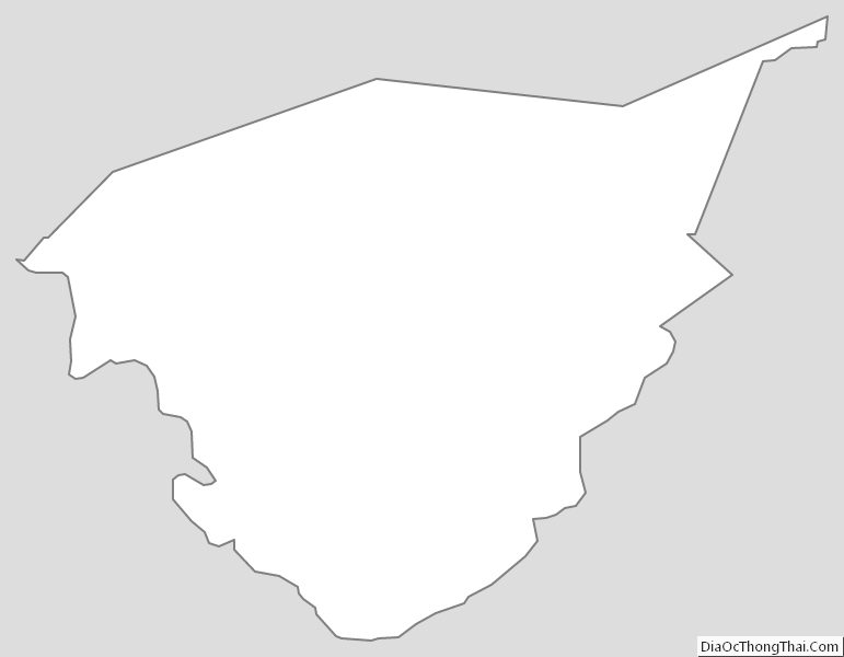
Bullitt County Outline Map