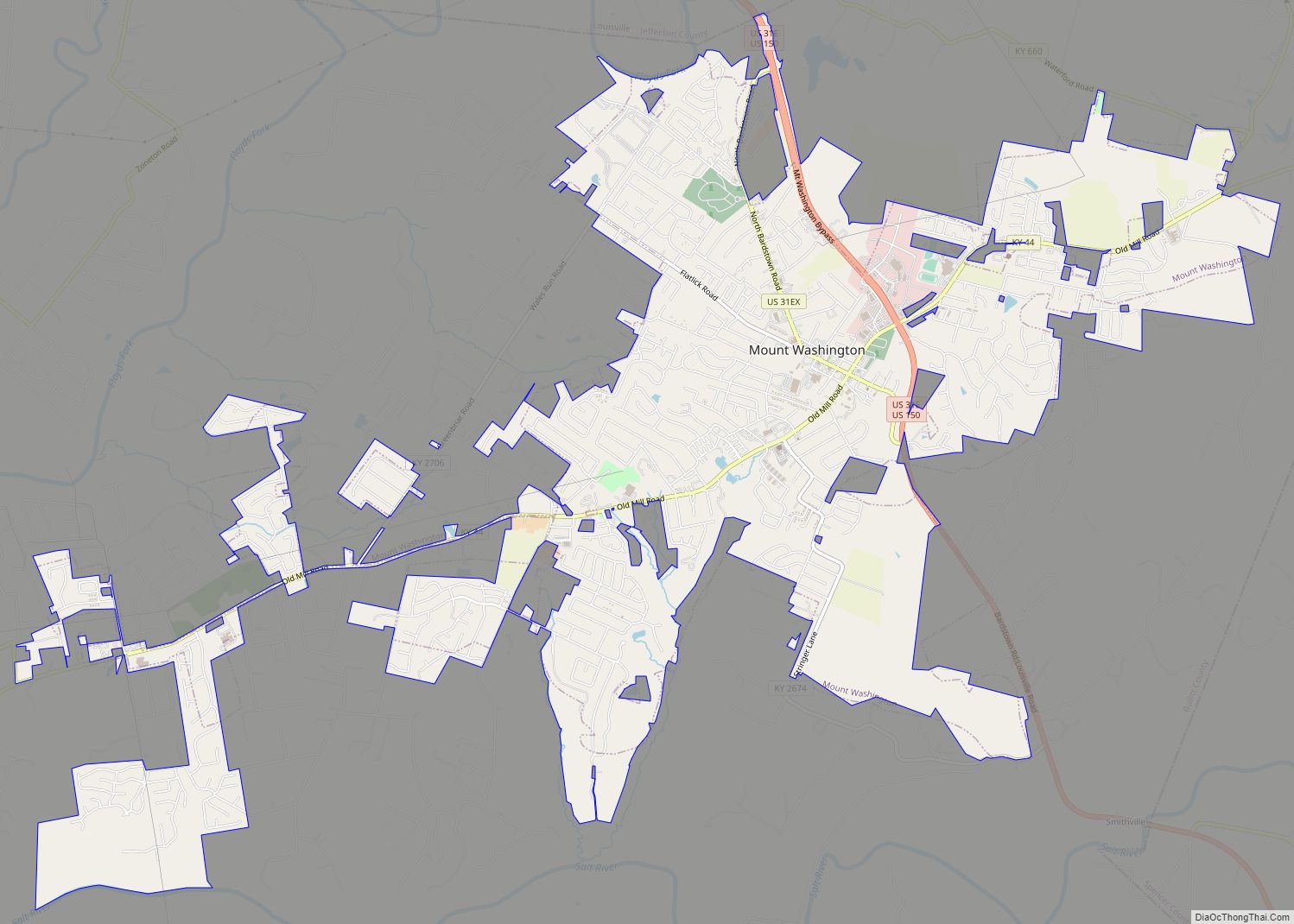
Mount Washington is a home rule-class city in northeast Bullitt County, Kentucky, in the United States. The population was 18,090 at the 2020 census. The city is one of several surrounding Louisville that have experienced a sharp rise in population in the past three decades, becoming a commuter town.
| Name: | Mount Washington city |
|---|---|
| LSAD Code: | 25 |
| LSAD Description: | city (suffix) |
| State: | Kentucky |
| County: | Bullitt County |
| Incorporated: | 1833 |
| Elevation: | 705 ft (215 m) |
| Total Area: | 9.46 sq mi (24.50 km²) |
| Land Area: | 9.42 sq mi (24.40 km²) |
| Water Area: | 0.04 sq mi (0.10 km²) |
| Total Population: | 18,090 |
| Population Density: | 1,919.97/sq mi (741.33/km²) |
| ZIP code: | 40047 |
| Area code: | 502 |
| FIPS code: | 2154228 |
| GNISfeature ID: | 0498905 |
| Website: | mtwashingtonky.org |
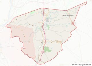
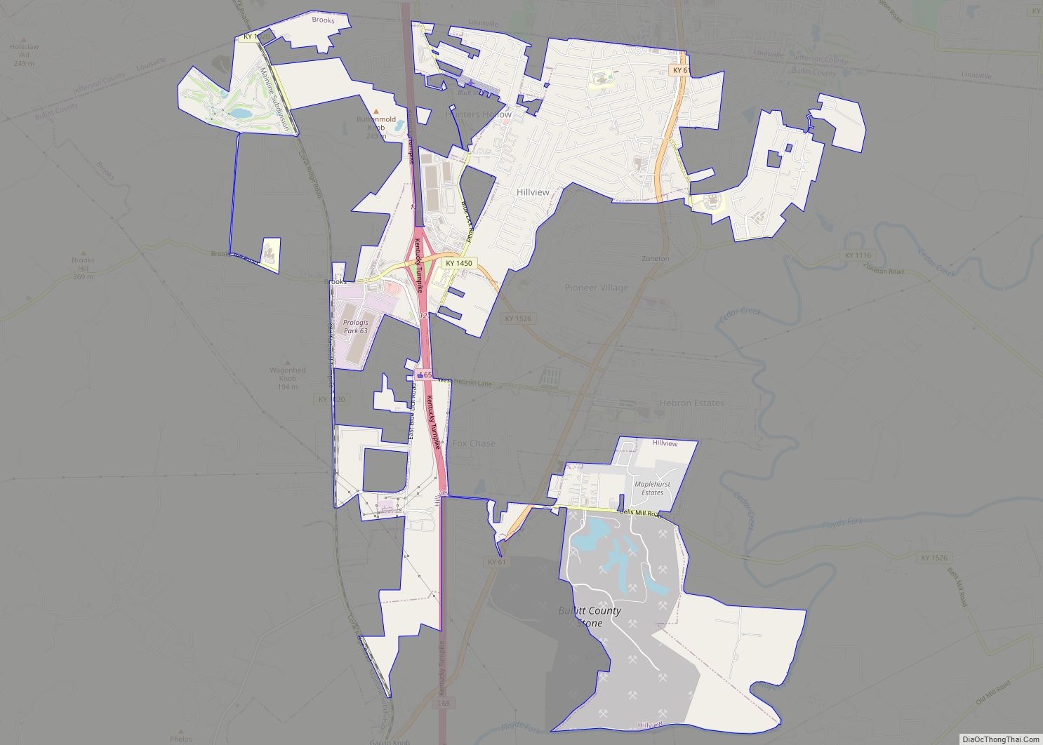
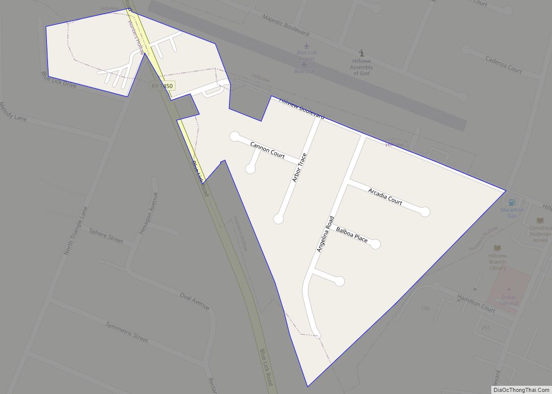
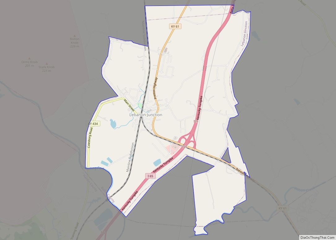
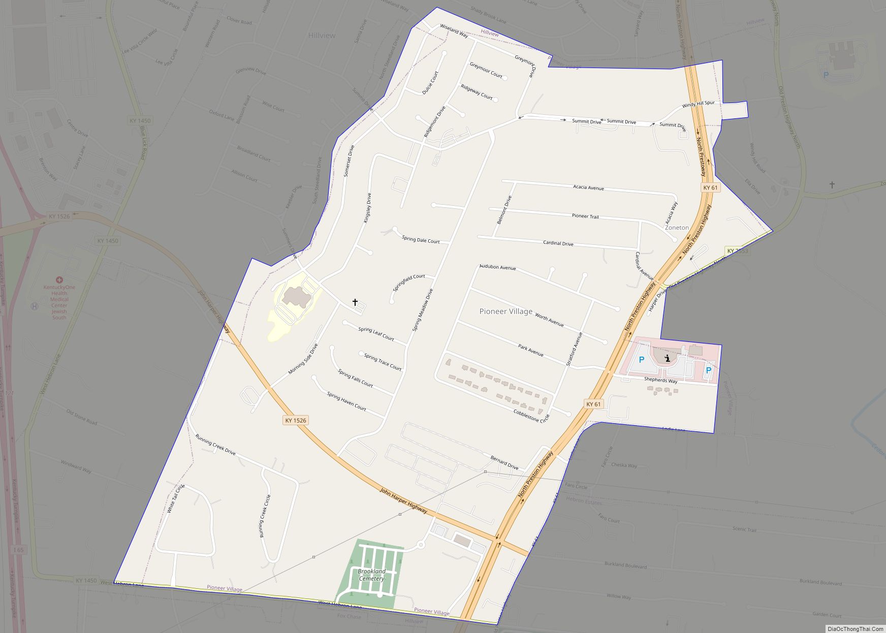
Online Interactive Map
Click on ![]() to view map in "full screen" mode.
to view map in "full screen" mode.
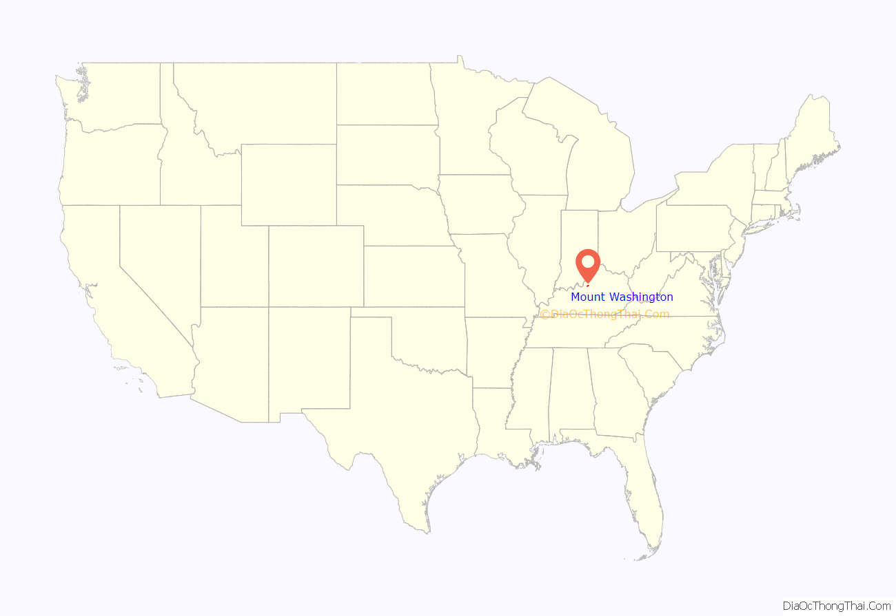
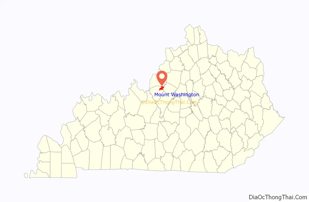
Mount Washington location map. Where is Mount Washington city?
History
Mount Washington is located at what was once the crossroads of two stagecoach routes and was originally known as The Cross Roads. It was formally established in 1822 as Mount Vernon, after President George Washington’s Virginia home, but it was unable to continue using the name because another town‘s post office had priority. At the time, the settlement housed c. 700 people and boasted three churches, two schools, six stores and groceries, five doctors, two taverns, and twelve mechanical trades. At the time of its (first) formal incorporation as a city in 1833, the town’s name was changed to “Mount Washington”, again in honor of the first United States president.
Mount Washington became the economic center of Bullitt County by the 1850s. In the autumn of 1862, during the Civil War, the town was held by John Wharton’s Confederate cavalry, who skirmished with Maj. Gen. Thomas L. Crittenden’s men north of Mount Washington along Floyds Fork on October 1. A defeat the following day led to a Confederate retreat from the area.
Through the nineteenth century, a two-room school building stood on the southern end of Bardstown Road (now Highway 31E), but in 1916 a new building consisting of four classrooms was built. Where the four-room classroom building once stood, now stands Mt. Washington Middle School. This building was constructed in the early 1940s as the high school. Mt. Washington Middle School had to expand and remodel in 1995 because the population was growing tremendously, and now supports over 200 classrooms and offices. Since then, another middle school had to be built on the other side of the city. That project was completed in 2006.
Mount Washington’s industries aged, and by the 1930s it was no longer the most prominent town in the county. The decline continued when fire burned much of the business district on November 18, 1940. Mount Washington enjoyed an influx of new residents starting in the late 1960s with the opening of General Electric’s Appliance Park nearby in Louisville. The population of Mount Washington grew from 2,020 in 1970 to over 9,000 by the 2010 census. Despite a downturn at the Appliance Park, eventually leading to the sale of GE’s appliance division to Haier, Mount Washington continues as a commuter town of Louisville.
The events of the final call of the strip search phone call scam took place in Mount Washington in 2004. The local police department charged David R. Stewart with the crime, but he was acquitted in 2006.
A former mayor of Mt. Washington was a contestant on The Price Is Right, playing the Money Game and winning $185 but losing a PT Cruiser; before the game, he presented host Bob Barker with the key to the city.
Historic site
Three homes in Mt. Washington are listed on the National Register of Historic Places. Of particular note is the Lloyd House, which is in the care of the Mount Washington Historical Society and is currently being renovated to become a historic house museum.
- James M. Lloyd House
- Henry J. Barnes House
- Zack Stansbury House
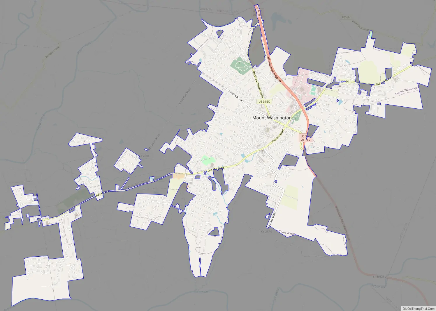
Mount Washington Road Map
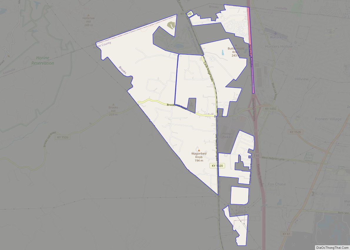
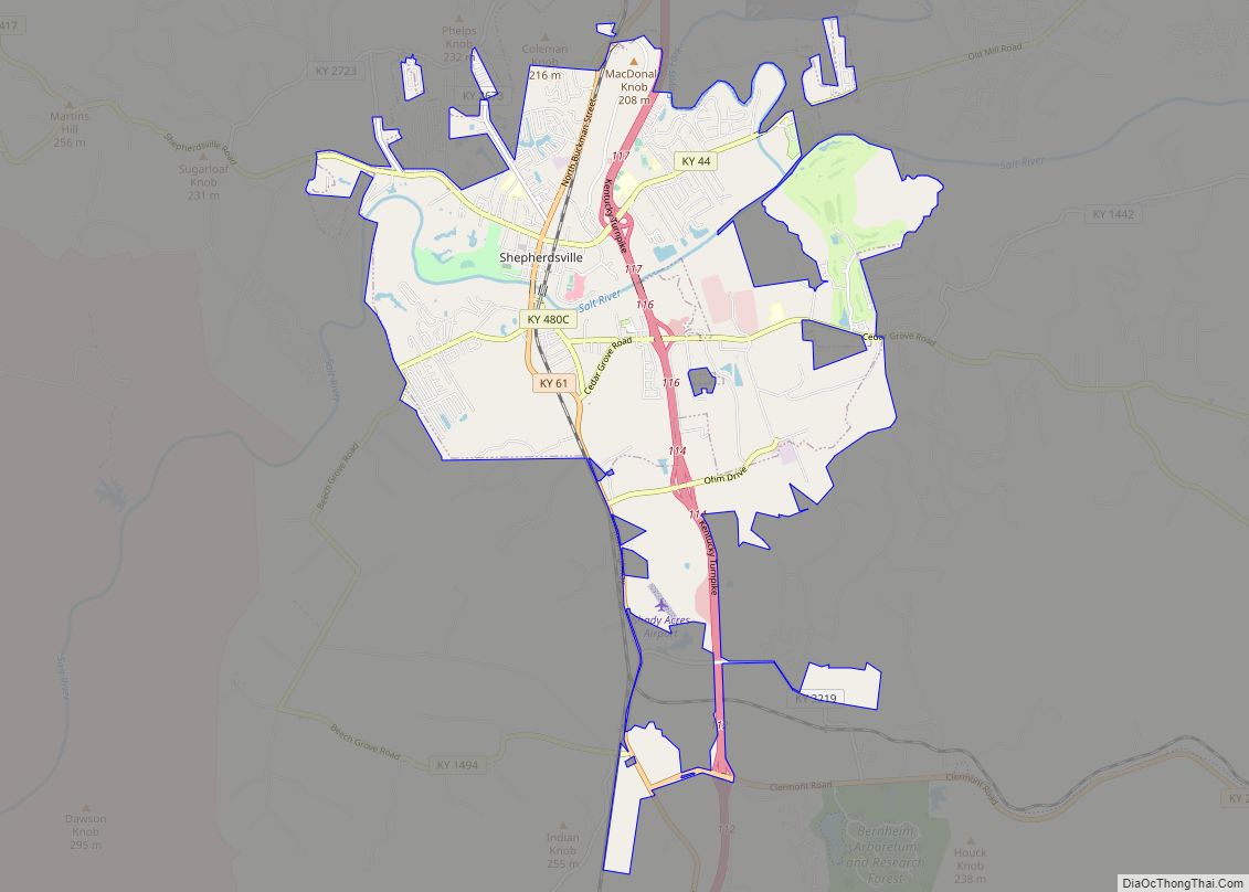
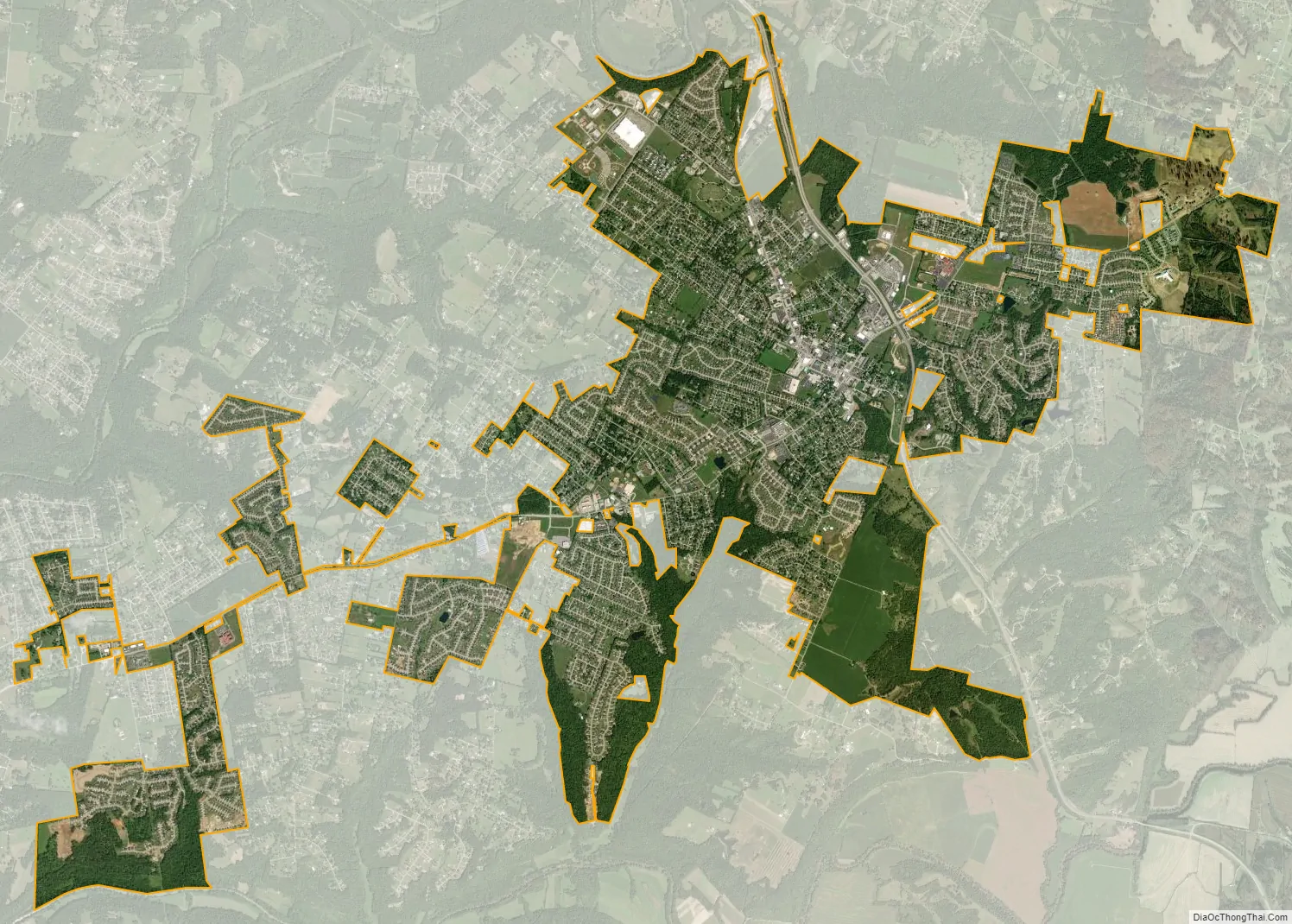
Mount Washington city Satellite Map
Geography
Mount Washington is located in northeastern Bullitt County at 38°2′46″N 85°33′17″W / 38.04611°N 85.55472°W / 38.04611; -85.55472 (38.045982, -85.554676). The city of Louisville is directly to the north; the downtown is 20 miles (32 km) northwest of the center of Mount Washington. U.S. Route 31E and U.S. Route 150 pass through the city, leading south 19 miles (31 km) to Bardstown.
According to the United States Census Bureau, Mount Washington has a total area of 6.1 square miles (15.8 km), of which 6.1 square miles (15.7 km) is land and 0.04 square miles (0.1 km), or 0.49%, is water.
See also
Map of Kentucky State and its subdivision:- Adair
- Allen
- Anderson
- Ballard
- Barren
- Bath
- Bell
- Boone
- Bourbon
- Boyd
- Boyle
- Bracken
- Breathitt
- Breckinridge
- Bullitt
- Butler
- Caldwell
- Calloway
- Campbell
- Carlisle
- Carroll
- Carter
- Casey
- Christian
- Clark
- Clay
- Clinton
- Crittenden
- Cumberland
- Daviess
- Edmonson
- Elliott
- Estill
- Fayette
- Fleming
- Floyd
- Franklin
- Fulton
- Gallatin
- Garrard
- Grant
- Graves
- Grayson
- Green
- Greenup
- Hancock
- Hardin
- Harlan
- Harrison
- Hart
- Henderson
- Henry
- Hickman
- Hopkins
- Jackson
- Jefferson
- Jessamine
- Johnson
- Kenton
- Knott
- Knox
- Larue
- Laurel
- Lawrence
- Lee
- Leslie
- Letcher
- Lewis
- Lincoln
- Livingston
- Logan
- Lyon
- Madison
- Magoffin
- Marion
- Marshall
- Martin
- Mason
- McCracken
- McCreary
- McLean
- Meade
- Menifee
- Mercer
- Metcalfe
- Monroe
- Montgomery
- Morgan
- Muhlenberg
- Nelson
- Nicholas
- Ohio
- Oldham
- Owen
- Owsley
- Pendleton
- Perry
- Pike
- Powell
- Pulaski
- Robertson
- Rockcastle
- Rowan
- Russell
- Scott
- Shelby
- Simpson
- Spencer
- Taylor
- Todd
- Trigg
- Trimble
- Union
- Warren
- Washington
- Wayne
- Webster
- Whitley
- Wolfe
- Woodford
- Alabama
- Alaska
- Arizona
- Arkansas
- California
- Colorado
- Connecticut
- Delaware
- District of Columbia
- Florida
- Georgia
- Hawaii
- Idaho
- Illinois
- Indiana
- Iowa
- Kansas
- Kentucky
- Louisiana
- Maine
- Maryland
- Massachusetts
- Michigan
- Minnesota
- Mississippi
- Missouri
- Montana
- Nebraska
- Nevada
- New Hampshire
- New Jersey
- New Mexico
- New York
- North Carolina
- North Dakota
- Ohio
- Oklahoma
- Oregon
- Pennsylvania
- Rhode Island
- South Carolina
- South Dakota
- Tennessee
- Texas
- Utah
- Vermont
- Virginia
- Washington
- West Virginia
- Wisconsin
- Wyoming