Shepherdsville is a home rule-class city on the Salt River in Bullitt County, Kentucky, in the United States. It is the second largest city and seat of its county, located just south of Louisville. The population was 14,201 during the 2020 U.S. Census.
| Name: | Shepherdsville city |
|---|---|
| LSAD Code: | 25 |
| LSAD Description: | city (suffix) |
| State: | Kentucky |
| County: | Bullitt County |
| Incorporated: | Unknown |
| Elevation: | 449 ft (137 m) |
| Total Area: | 16.11 sq mi (41.72 km²) |
| Land Area: | 15.82 sq mi (40.96 km²) |
| Water Area: | 0.29 sq mi (0.75 km²) |
| Total Population: | 14,201 |
| Population Density: | 897.89/sq mi (346.68/km²) |
| ZIP code: | 40165 |
| Area code: | 502 |
| FIPS code: | 2170086 |
| GNISfeature ID: | 0503351 |
| Website: | shepherdsville.net |
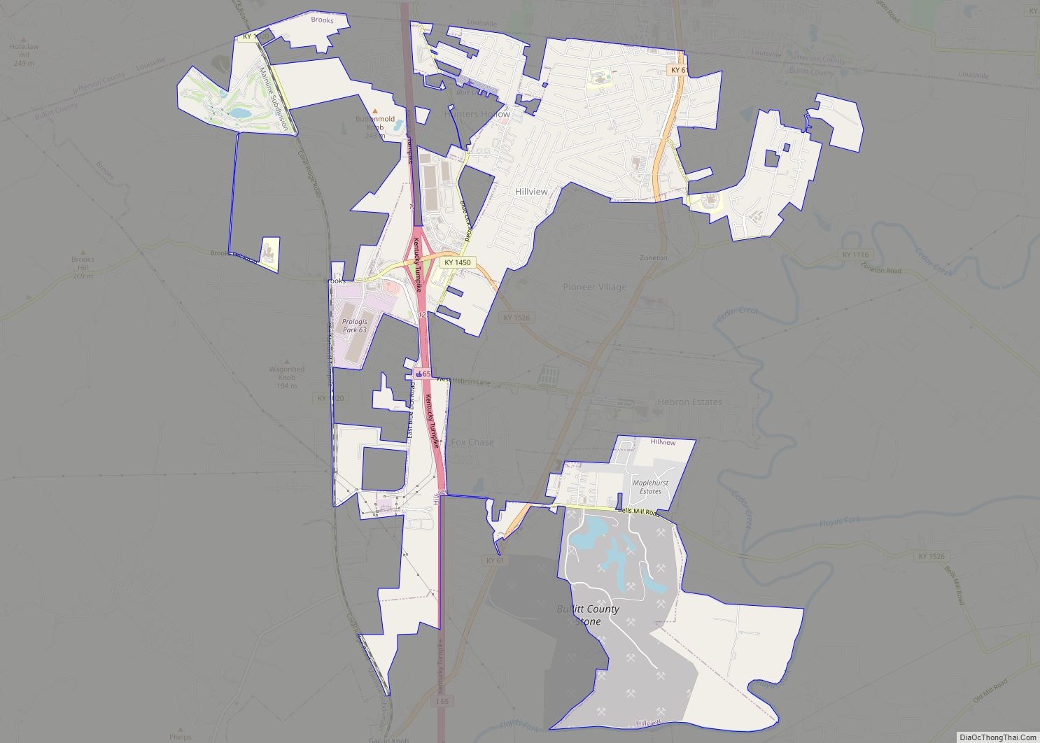
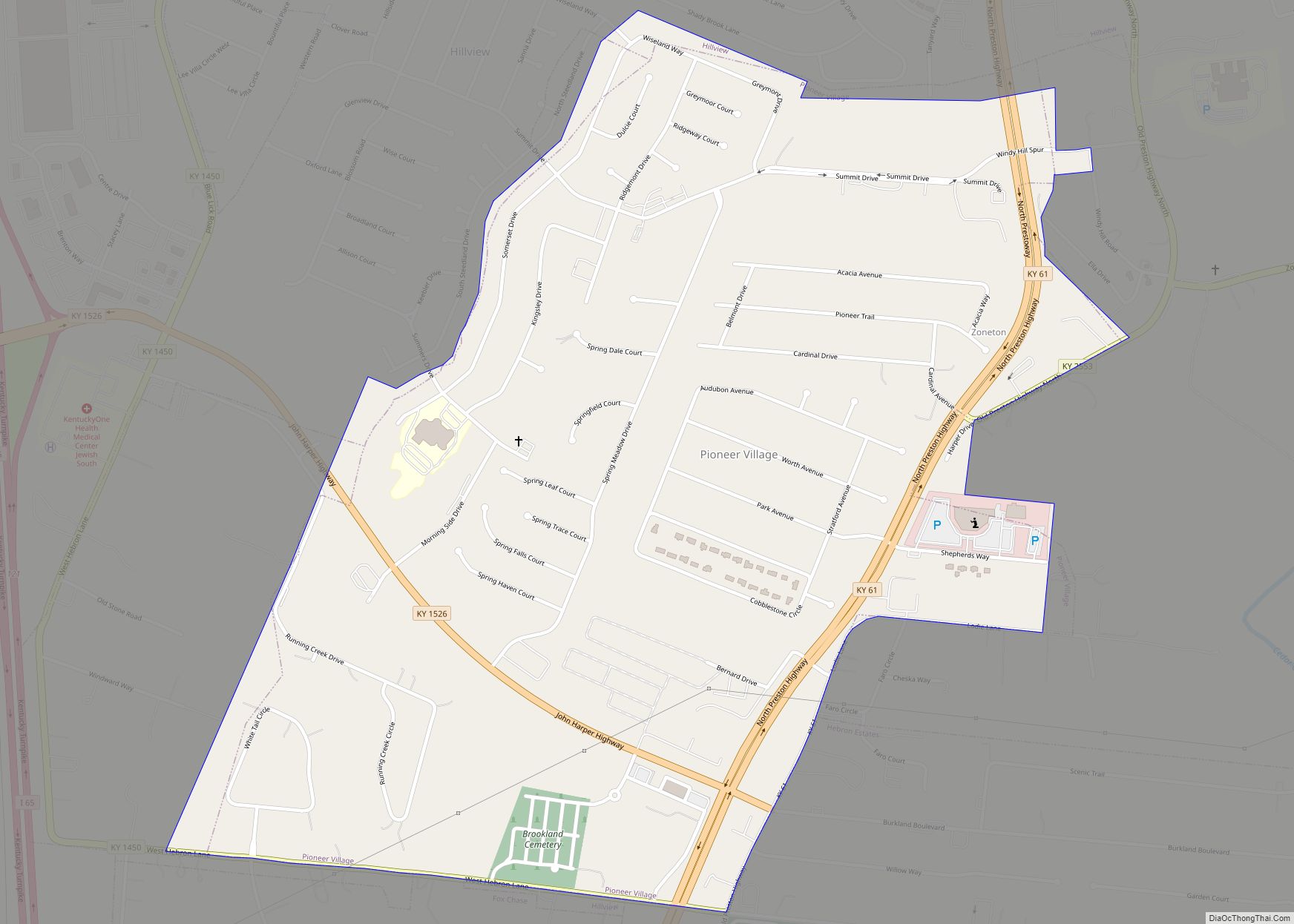
Online Interactive Map
Click on ![]() to view map in "full screen" mode.
to view map in "full screen" mode.
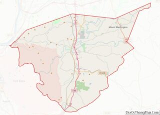
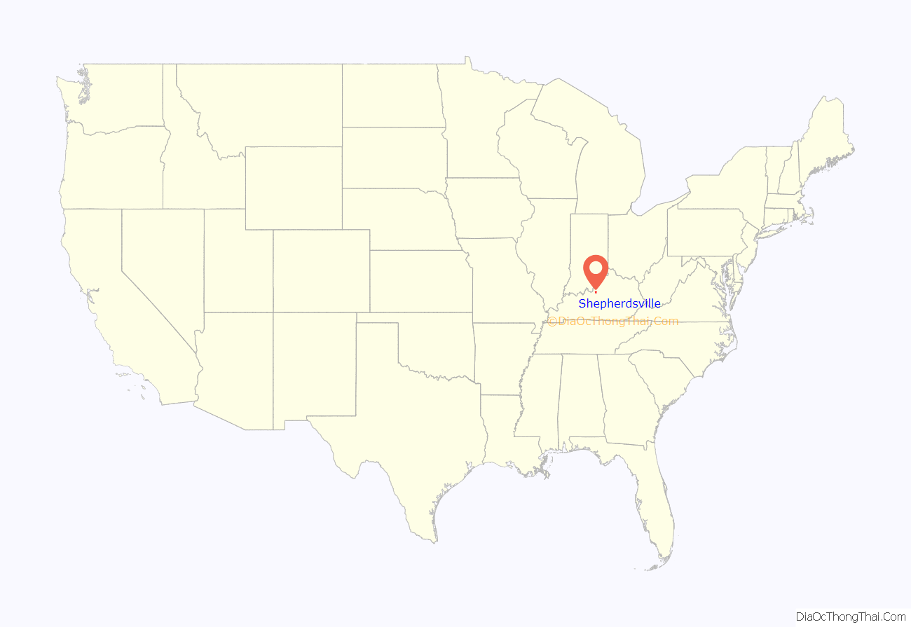
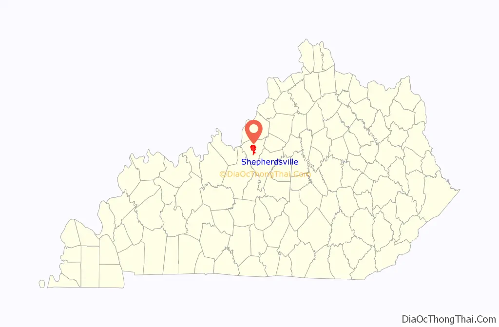
Shepherdsville location map. Where is Shepherdsville city?
History
Native Americans have been shown to have lived in the area for at least 15,000 years.
The vicinity was originally known by European Americans as “Bullitt’s Lick” for the salt licks discovered by surveyor Capt. Thomas Bullitt in 1773. The area was home to Kentucky’s first commercial salt works. These were shuttered in the 1830s because of competition from Virginian works along the Kanawha River (now in West Virginia). Shepherdsville developed around the mill and store erected along the Salt River by Adam Shepherd, who had purchased 900 acres (360 ha) in the area. The city received its charter in 1793 and was designated as the county seat when Bullitt County was formed in 1796.
The first post office opened in 1806. In 1836, a mineral water spa called Paroquet Springs opened. The mineral water was believed to have medicinal properties, so sufferers from a variety of maladies visited Shepherdsville to drink and bathe in the water. In the mid-1850s, the Louisville and Nashville Railroad’s mainline was constructed nearby.
During the Civil War, the railroad bridge over the Salt River at Shepherdsville was a potential target for sabotage and was guarded by Union troops. In 1879 shortly after the formal end of Reconstruction, the Paroquet Springs hotel burned to the ground. Water from the springs continued to be bottled and sold until 1915.
The Lynching of Marie Thompson of Shepherdsville was conducted in 1904, close to the jail near Lebanon Junction.
About 50 people were killed in the Shepherdsville train wreck in late December 1917, a two-train collision that was the deadliest train wreck in Kentucky history.
Throughout most of the 20th century, Shepherdsville’s economy was based on agriculture. It was a trading center for the county, and important for law and justice related to the county seat. Construction of the Kentucky Turnpike (now Interstate 65) in the 1950s stimulated residential development in the suburbs, as people who worked in Louisville could commute more easily to work. Many moved to Shepherdsville and other outlying areas to have new houses.
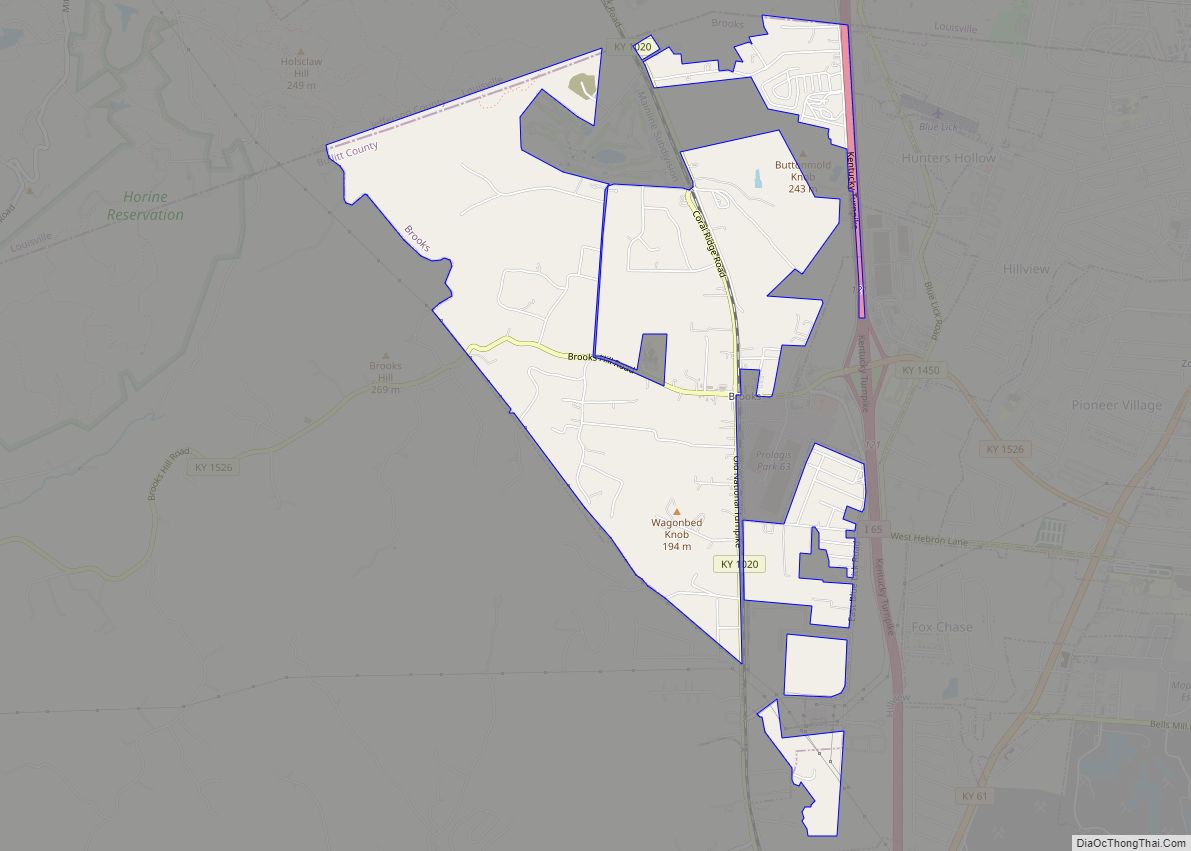
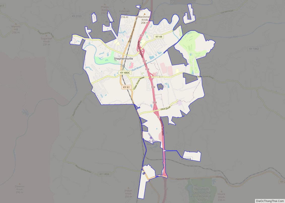
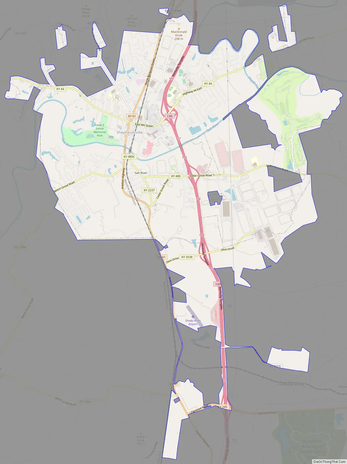
Shepherdsville Road Map
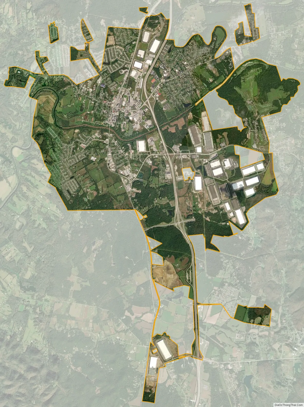
Shepherdsville city Satellite Map
Geography
Shepherdsville is located on the banks of the Salt River. Downtown Louisville is 20 miles (32 km) to the north via Interstate 65, and Elizabethtown is 26 miles (42 km) to the south.
According to the United States Census Bureau, Shepherdsville has a total area of 10.0 square miles (25.8 km), of which 9.7 square miles (25.1 km) is land and 0.31 square miles (0.8 km), or 3.00%, is water.
Climate
The climate in this area is characterized by hot, humid summers and generally mild to cool winters. According to the Köppen Climate Classification system, Shepherdsville has a humid subtropical climate, abbreviated “Cfa” on climate maps.
See also
Map of Kentucky State and its subdivision:- Adair
- Allen
- Anderson
- Ballard
- Barren
- Bath
- Bell
- Boone
- Bourbon
- Boyd
- Boyle
- Bracken
- Breathitt
- Breckinridge
- Bullitt
- Butler
- Caldwell
- Calloway
- Campbell
- Carlisle
- Carroll
- Carter
- Casey
- Christian
- Clark
- Clay
- Clinton
- Crittenden
- Cumberland
- Daviess
- Edmonson
- Elliott
- Estill
- Fayette
- Fleming
- Floyd
- Franklin
- Fulton
- Gallatin
- Garrard
- Grant
- Graves
- Grayson
- Green
- Greenup
- Hancock
- Hardin
- Harlan
- Harrison
- Hart
- Henderson
- Henry
- Hickman
- Hopkins
- Jackson
- Jefferson
- Jessamine
- Johnson
- Kenton
- Knott
- Knox
- Larue
- Laurel
- Lawrence
- Lee
- Leslie
- Letcher
- Lewis
- Lincoln
- Livingston
- Logan
- Lyon
- Madison
- Magoffin
- Marion
- Marshall
- Martin
- Mason
- McCracken
- McCreary
- McLean
- Meade
- Menifee
- Mercer
- Metcalfe
- Monroe
- Montgomery
- Morgan
- Muhlenberg
- Nelson
- Nicholas
- Ohio
- Oldham
- Owen
- Owsley
- Pendleton
- Perry
- Pike
- Powell
- Pulaski
- Robertson
- Rockcastle
- Rowan
- Russell
- Scott
- Shelby
- Simpson
- Spencer
- Taylor
- Todd
- Trigg
- Trimble
- Union
- Warren
- Washington
- Wayne
- Webster
- Whitley
- Wolfe
- Woodford
- Alabama
- Alaska
- Arizona
- Arkansas
- California
- Colorado
- Connecticut
- Delaware
- District of Columbia
- Florida
- Georgia
- Hawaii
- Idaho
- Illinois
- Indiana
- Iowa
- Kansas
- Kentucky
- Louisiana
- Maine
- Maryland
- Massachusetts
- Michigan
- Minnesota
- Mississippi
- Missouri
- Montana
- Nebraska
- Nevada
- New Hampshire
- New Jersey
- New Mexico
- New York
- North Carolina
- North Dakota
- Ohio
- Oklahoma
- Oregon
- Pennsylvania
- Rhode Island
- South Carolina
- South Dakota
- Tennessee
- Texas
- Utah
- Vermont
- Virginia
- Washington
- West Virginia
- Wisconsin
- Wyoming