| Name: | Burnet County |
|---|---|
| FIPS code: | 48-053 |
| State: | Texas |
| Founded: | 1854 |
| Named for: | David Gouverneur Burnet |
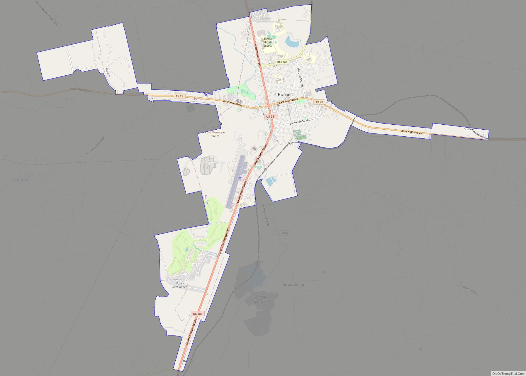
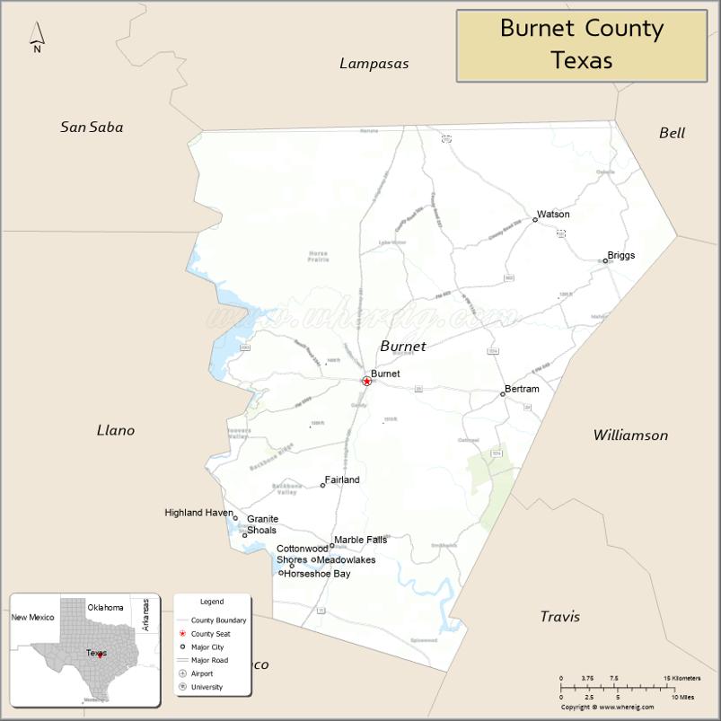
| Seat: | Burnet |
| Largest city: | Marble Falls |
| Total Area: | 1,021 sq mi (2,640 km²) |
| Land Area: | 994 sq mi (2,570 km²) |
| Total Population: | 49,130 |
| Population Density: | 48/sq mi (19/km²) |
| Time zone: | UTC−6 (Central) |
| Summer Time Zone (DST): | UTC−5 (CDT) |
| Website: | www.burnetcountytexas.org |
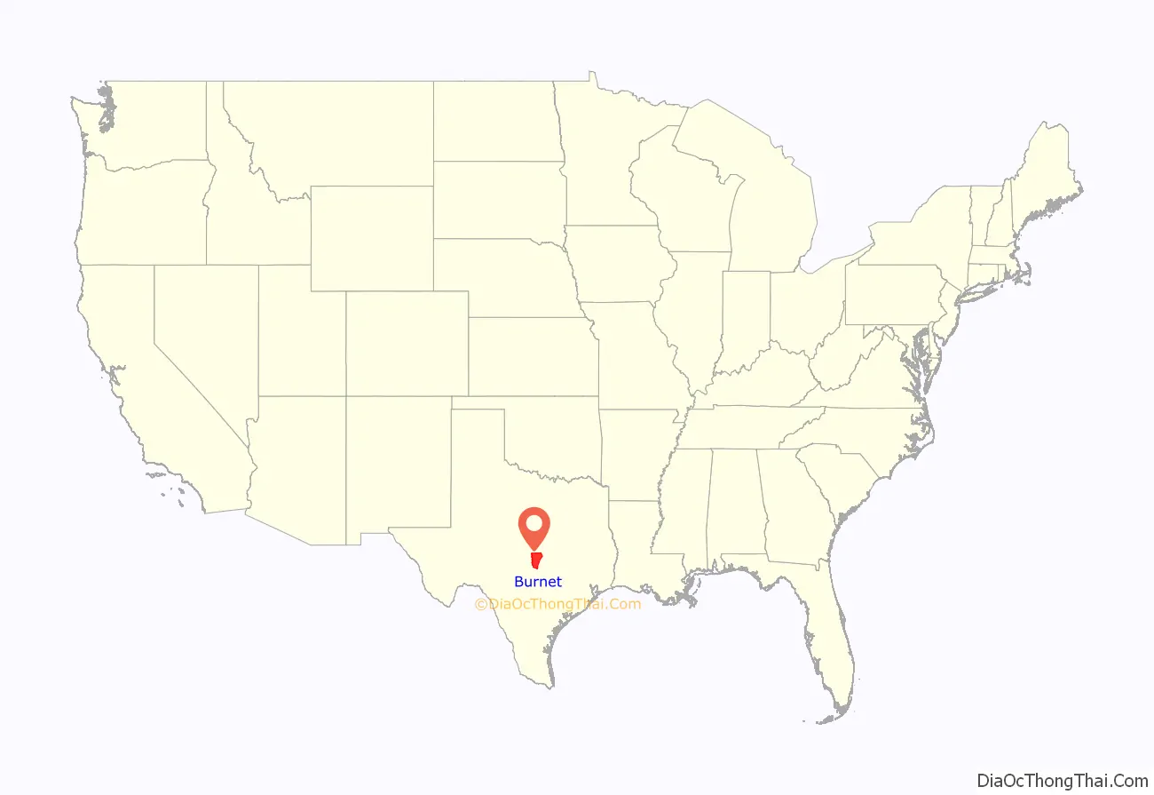
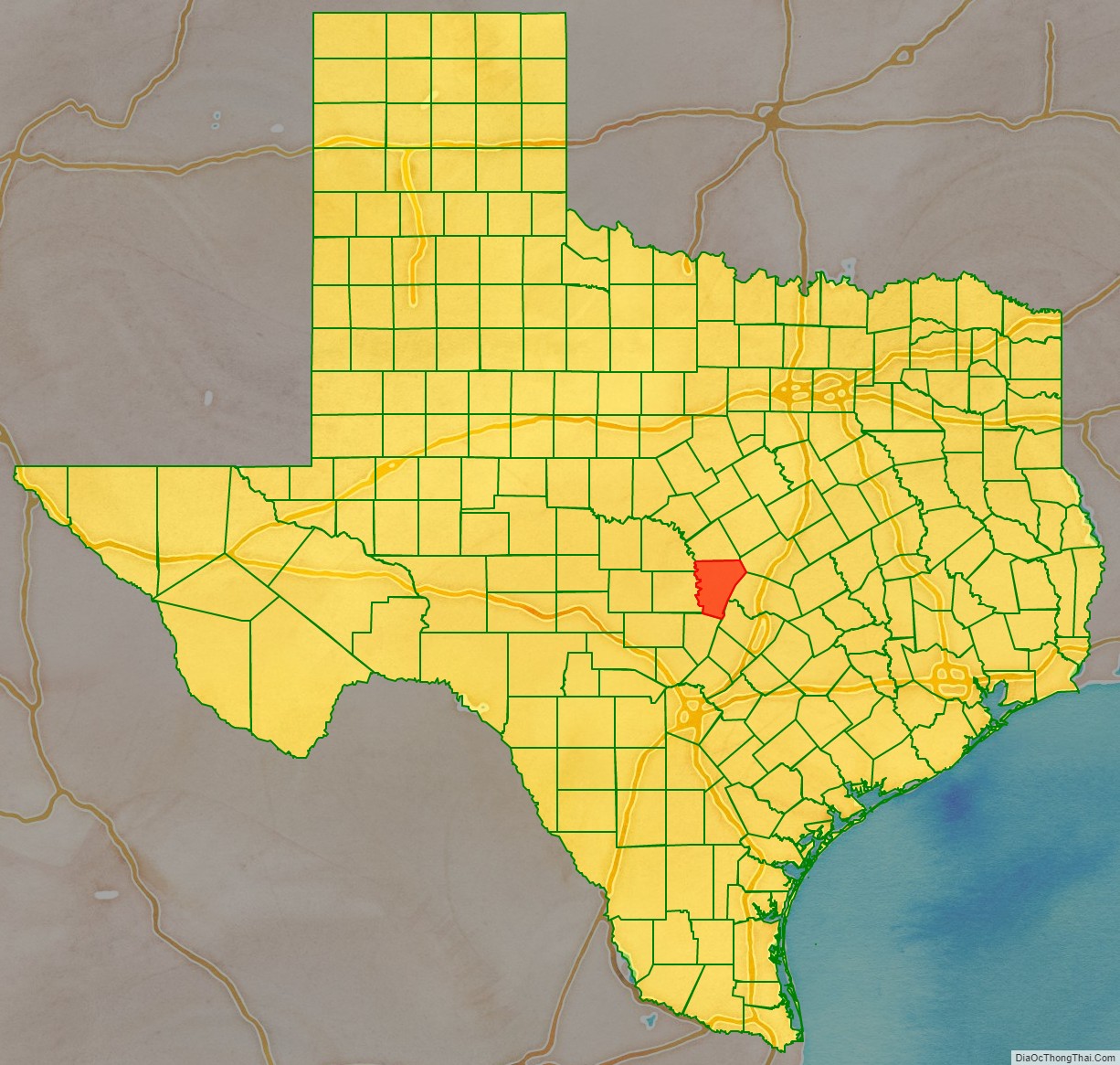
Burnet County location map. Where is Burnet County?
History
Indigenous peoples inhabited the area as early as 4500 BC. Later known tribes in the area include Tonkawa, Lipan Apache, and Comanche.
During the 1820s-1830s, Stephen F. Austin and Green DeWitt conducted surveying and Indian-fighting explorations. In 1849, the United States established Fort Croghan, and in 1848, the first settlers arrived in the county, Samuel Eli Holland, Logan Vandeveer, Peter Kerr, William Harrison Magill, Noah Smithwick, Captain Jesse B. Burnham, R. H. Hall, Adam Rankin “Stovepipe” Johnson, and Captain Christian Dorbandt. In 1851, 20 Mormon families under the leadership of Lyman Wight establish a colony at Hamilton Creek, later to be known as Morman Mill.
In 1852, the Fourth Texas Legislature created Burnet County from Bell, Travis, and Williamson Counties. The first post office was established at Hamilton in 1853.
In 1860, 235 slaves were in Burnet County. After the war, some former slaves left the county, but many stayed. A group of them settled on land in the eastern part of Oatmeal. In 1870, the black population of the county had increased to 358, keeping pace with the growth of the total number of residents; the number of blacks had fallen to 248 by 1880, however, and the number of new white residents was such that after 1890, blacks represented less than 3% of the total population. Some found work on farms and ranches, but by the turn of the century, many had moved into the Marble Falls area to work in town.
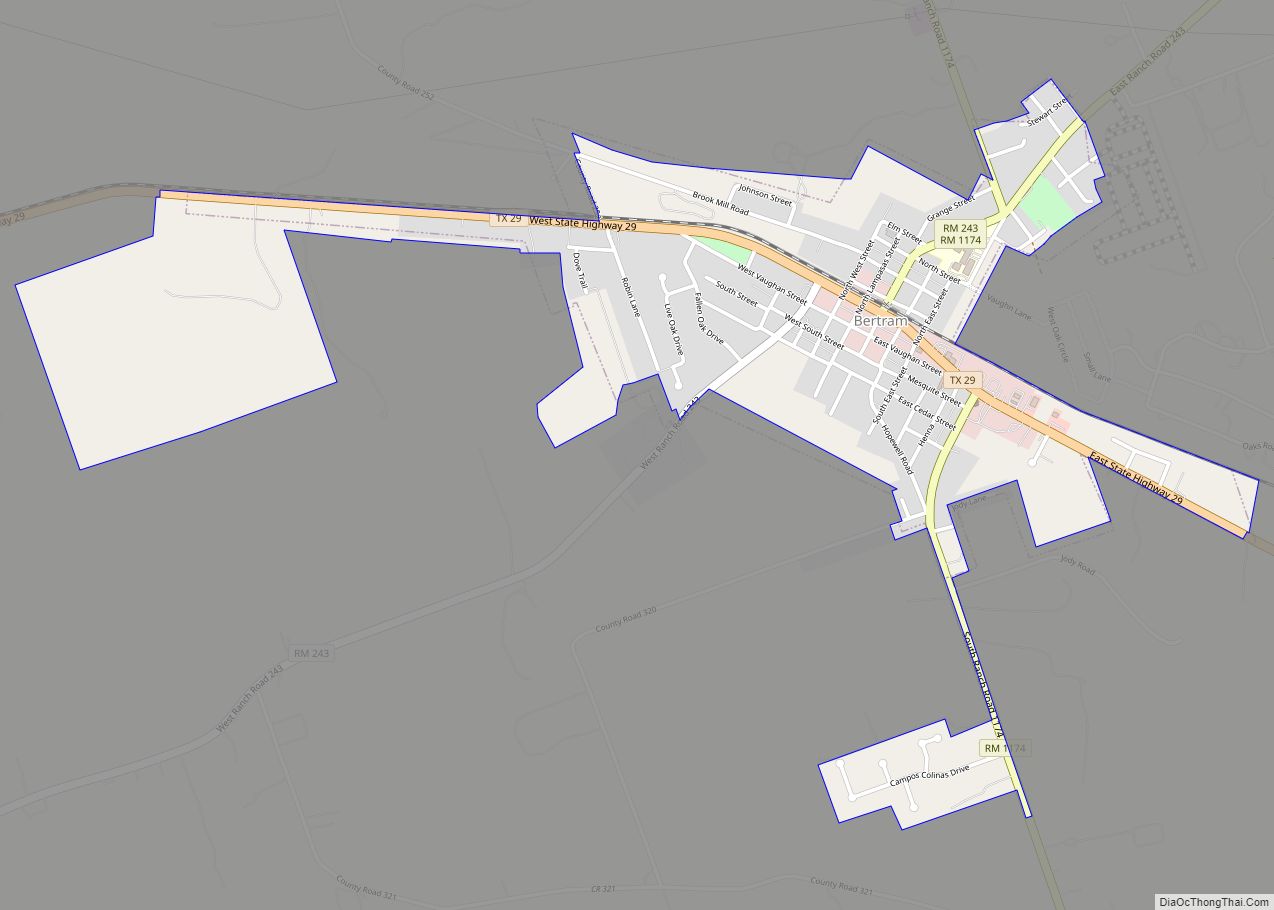
During 1882–1903, railroad tracks connected Burnet, Granite Mountain, Marble Falls, and Lampasas. Lake Victor and Bertram became shipping-point communities. Other communities lost population as the railroad offered employment. During the Great Depression, county farmers suffered financially, but found work with government-sponsored public-works projects. The Lower Colorado River Authority employed hundreds of people for the construction of the Hamilton (Buchanan) Dam and Roy B. Inks Dam.
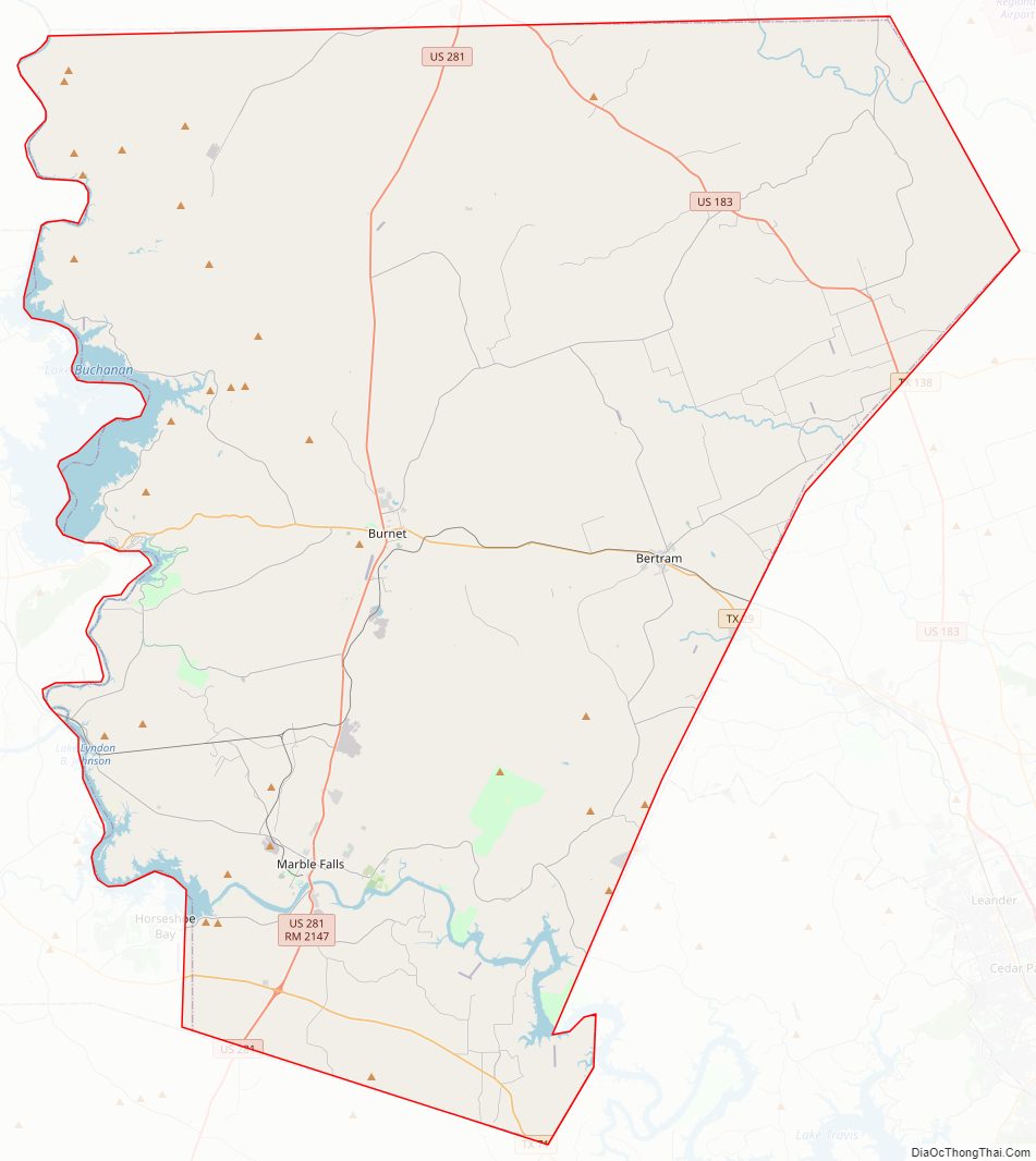
Burnet County Road Map
Geography
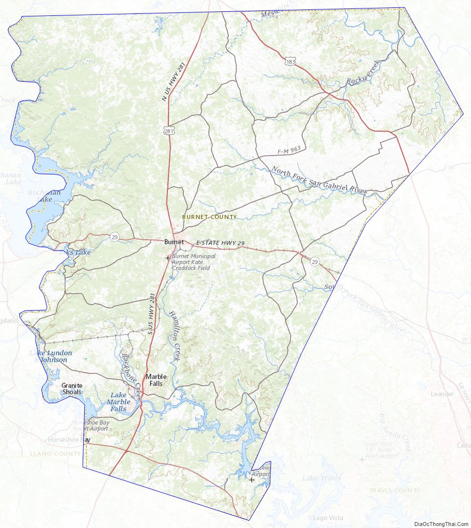
According to the U.S. Census Bureau, the county has a total area of 1,021 sq mi (2,640 km), of which 27 sq mi (70 km) (2.6%) are covered by water.
Major highways
- U.S. Highway 183
- U.S. Highway 281
- State Highway 29
Adjacent counties
- Lampasas County (north)
- Bell County (northeast)
- Williamson County (east)
- Travis County (southeast)
- Blanco County (south)
- Llano County (west)
- San Saba County (northwest)
National protected area
- Balcones Canyonlands National Wildlife Refuge (part)
Burnet County Topographic Map
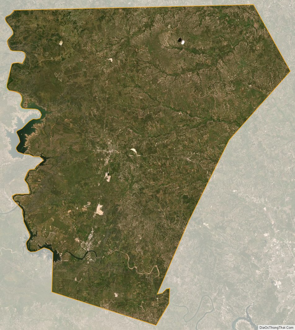
Burnet County Satellite Map
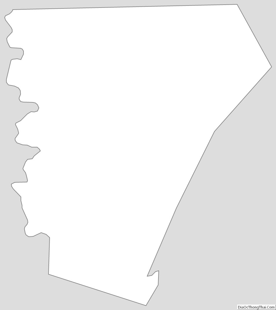
Burnet County Outline Map