Butte County is a county in the U.S. state of South Dakota. As of the 2020 United States Census, the population was 10,243. Its county seat is Belle Fourche. The county was established in the Dakota Territory on March 2, 1883, and given the descriptive name based on the French word for a hill.
| Name: | Butte County |
|---|---|
| FIPS code: | 46-019 |
| State: | South Dakota |
| Founded: | March 2, 1883 May 6, 1883 |
| Named for: | Hills in the county |
| Seat: | Belle Fourche |
| Largest city: | Belle Fourche |
| Total Area: | 2,266 sq mi (5,870 km²) |
| Land Area: | 2,250 sq mi (5,800 km²) |
| Total Population: | 10,243 |
| Population Density: | 4.5/sq mi (1.7/km²) |
| Time zone: | UTC−7 (Mountain) |
| Summer Time Zone (DST): | UTC−6 (MDT) |
| Website: | butte.sdcounties.org |
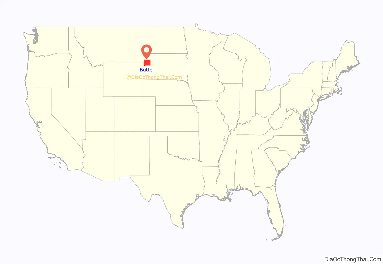
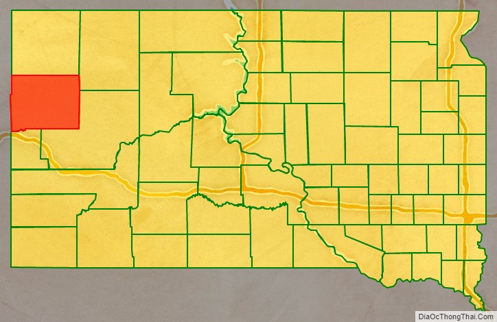
Butte County location map. Where is Butte County?
History
Prehistory
In 1975, plesiosaur fossils dating to the Cretaceous Period (ca. 110 million years ago) were discovered in Butte County. In the 1980s, a 90-million-year-old fossil of a clawless lobster was discovered. A Tyrannosaurus rex skeleton was found in 1981.
The early human history of the Belle Fourche River Valley has been traced to about 3000 BC. The first people of the area were Native Americans who resided on the northwestern plains of North America. The earliest known evidence of human activity in the area dates to the Middle Plains Archaic Period of the Plains Indians (ca. 3000–1500 BC). Traces of tipi rings dating from this period have been found. In 1979 and 1980, archeologists excavated a fortified and previously inhabited site west of Belle Fourche that dated to AD 1000. This site was called the Smiley-Evans Site and had been recorded in 1959. Until 1984, only 47 archaeological sites had been recorded, but after the excavation of the Smiley-Evans Site, several investigations were undertaken. As of 1989, 199 archaeological sites had been discovered in the county.
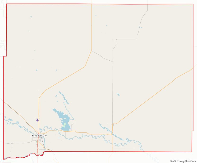
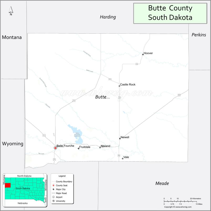
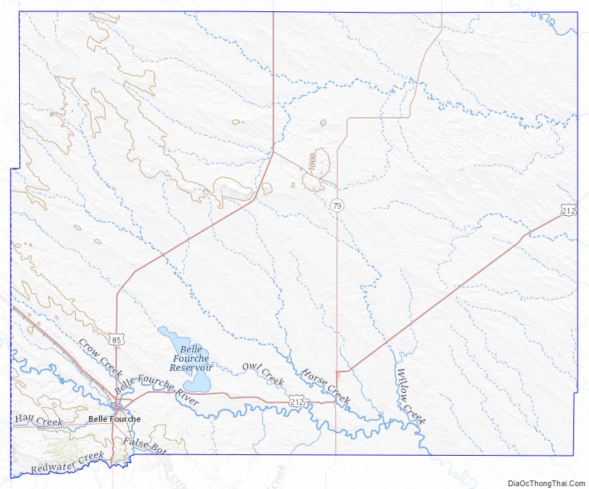
Butte County Road Map
Geography
Butte County lies on the west edge of South Dakota. Its northwestern boundary line abuts the eastern boundary line of the state of Montana, and its southwestern boundary line abuts the eastern boundary line of the state of Wyoming. The Butte County terrain consists of semi-arid rolling hills cut by drainages oriented NW-SE. A relatively small portion of the area is dedicated to agriculture, including the employment of center pivot irrigation. The terrain slopes to the southeast, and its highest point is on the western boundary line near the SW corner: 3,865′ (1178m) ASL.
The county has a total area of 2,266 square miles (5,870 km), of which 2,250 square miles (5,800 km) is land and 16 square miles (41 km) (0.7%) is water.
Major highways
- U.S. Highway 85
- U.S. Highway 212
- South Dakota Highway 34
- South Dakota Highway 79
- South Dakota Highway 168
Adjacent counties
- Harding County – north
- Perkins County – northeast
- Meade County – southeast
- Lawrence County – southwest
- Crook County, Wyoming – west
- Carter County, Montana – northwest
Protected areas
- Belle Fourche Dam State Game Production Area
- Belle Fourche National Wildlife Refuge
- Newell Lake State Game Production Area
- Newell Lake State Lakeside Use Area
- Rocky Point State Recreation Area
Butte County Topographic Map
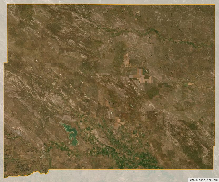
Butte County Satellite Map
Butte County Outline Map