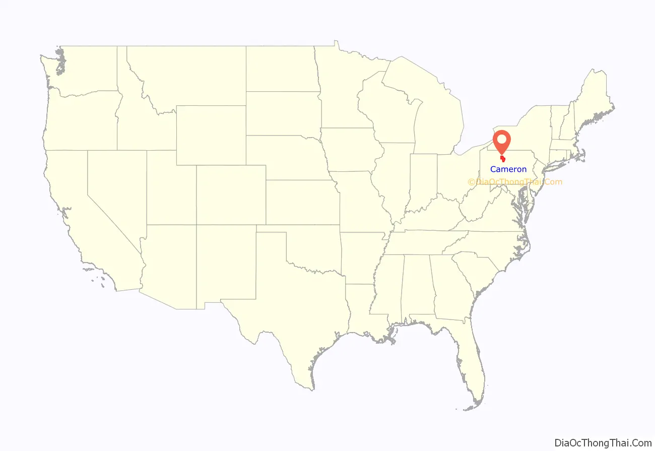
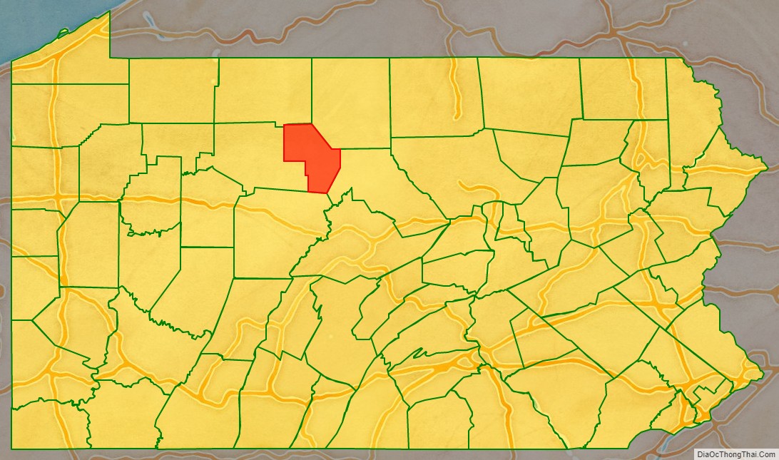
Cameron County is a county in the Commonwealth of Pennsylvania. As of the 2020 census, the population was 4,547 and is Pennsylvania’s least populous county. Its county seat is Emporium. The county was created on March 29, 1860, from parts of Clinton, Elk, McKean, and Potter Counties. It is named for Senator Simon Cameron.
| Name: | Cameron County |
|---|---|
| FIPS code: | 42-023 |
| State: | Pennsylvania |
| Founded: | March 29, 1860 |
| Named for: | Simon Cameron |
| Seat: | Emporium |
| Total Area: | 398 sq mi (1,030 km²) |
| Land Area: | 396 sq mi (1,030 km²) |
| Total Population: | 4,547 |
| Population Density: | 11.4/sq mi (4.4/km²) |
| Time zone: | UTC−5 (Eastern) |
| Summer Time Zone (DST): | UTC−4 (EDT) |
| Website: | www.cameroncountypa.com |
Cameron County location map. Where is Cameron County?
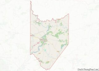
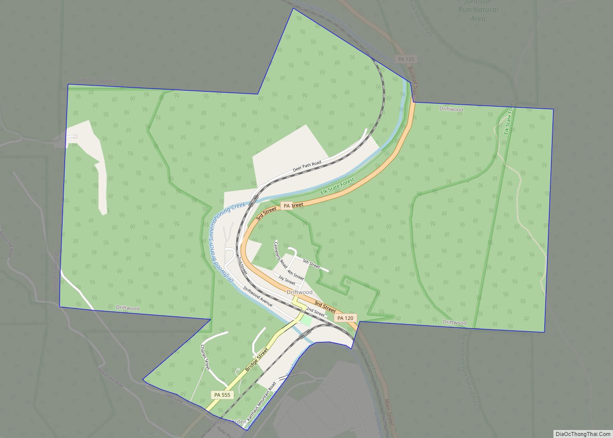
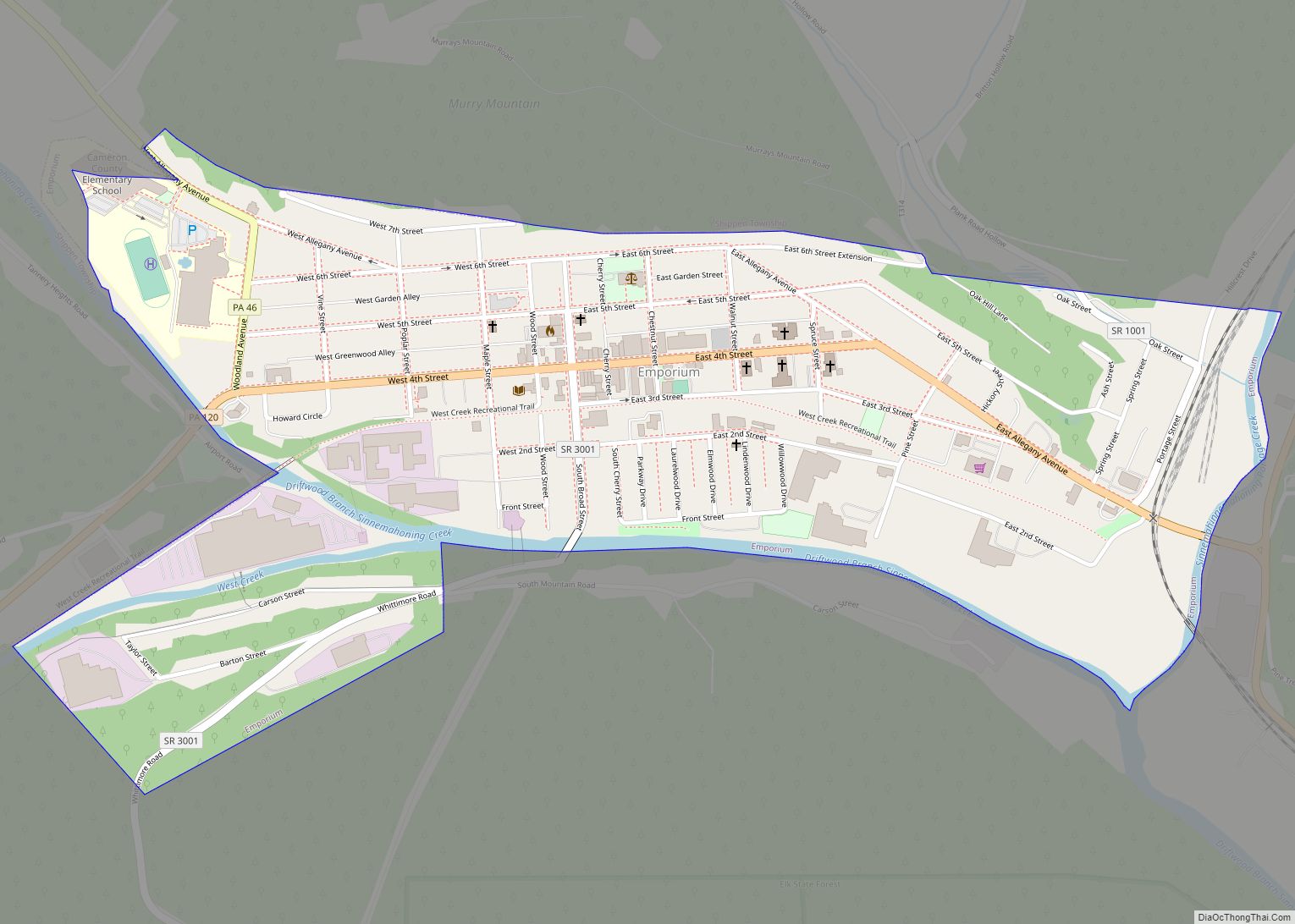
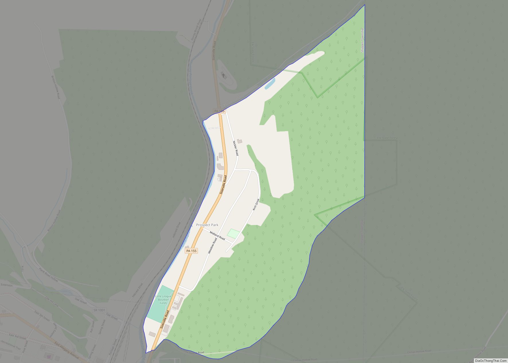
Cameron County Road Map
Geography
According to the U.S. Census Bureau, the county has a total area of 398 square miles (1,030 km), of which 396 square miles (1,030 km) is land and 2.2 square miles (5.7 km) (0.5%) is water. It has a warm-summer humid continental climate (Dfb) and average monthly temperatures in Emporium range from 24.2 °F in January to 69.3 °F in July, while in Driftwood they range from 24.9 °F in January to 69.9 °F in July. [1]
Adjacent counties
- McKean County (north)
- Potter County (northeast)
- Clinton County (east)
- Clearfield County (south)
- Elk County (west)
Major roads
- PA 46
- PA 120
- PA 155
- PA 555
- PA 872
