Emporium is a borough and the county seat of Cameron County in the U.S. state of Pennsylvania. It is located 100 miles (160 km) west-northwest of Williamsport. Early in the twentieth century, there were large power plants and manufacturers of radio tubes and incandescent lamps (Sylvania Electric Products), paving brick, flour, iron, lumber, and sole leather. In 1900, 2,463 people lived in Emporium, and in 1910, the population was 2,916. By 2010, the population had dropped to 2,073, and at the 2020 census, the population was 1,961.
| Name: | Emporium borough |
|---|---|
| LSAD Code: | 21 |
| LSAD Description: | borough (suffix) |
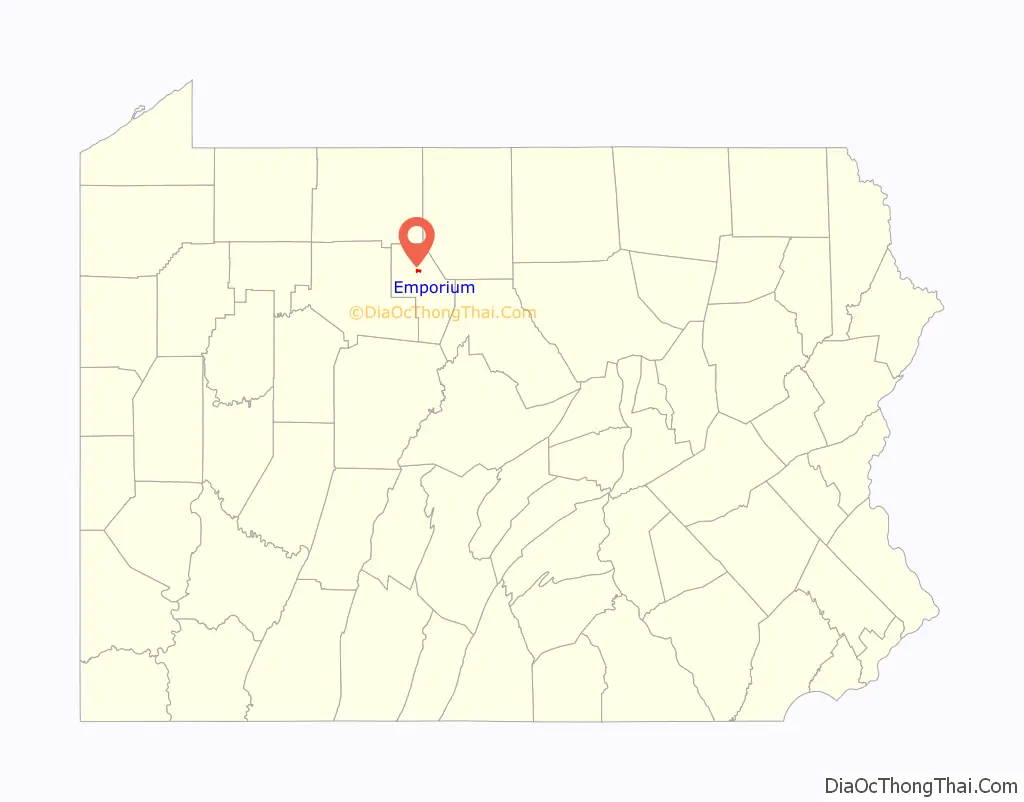
| State: | Pennsylvania |
| County: | Cameron County |
| Elevation: | 1,031 ft (314 m) |
| Total Area: | 0.75 sq mi (1.95 km²) |
| Land Area: | 0.71 sq mi (1.84 km²) |
| Water Area: | 0.04 sq mi (0.11 km²) |
| Total Population: | 1,923 |
| Population Density: | 2,708.45/sq mi (1,046.10/km²) |
| Area code: | 814 |
| FIPS code: | 4223600 |
| Website: | emporiumborough.org |
Online Interactive Map
Click on ![]() to view map in "full screen" mode.
to view map in "full screen" mode.
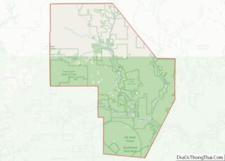
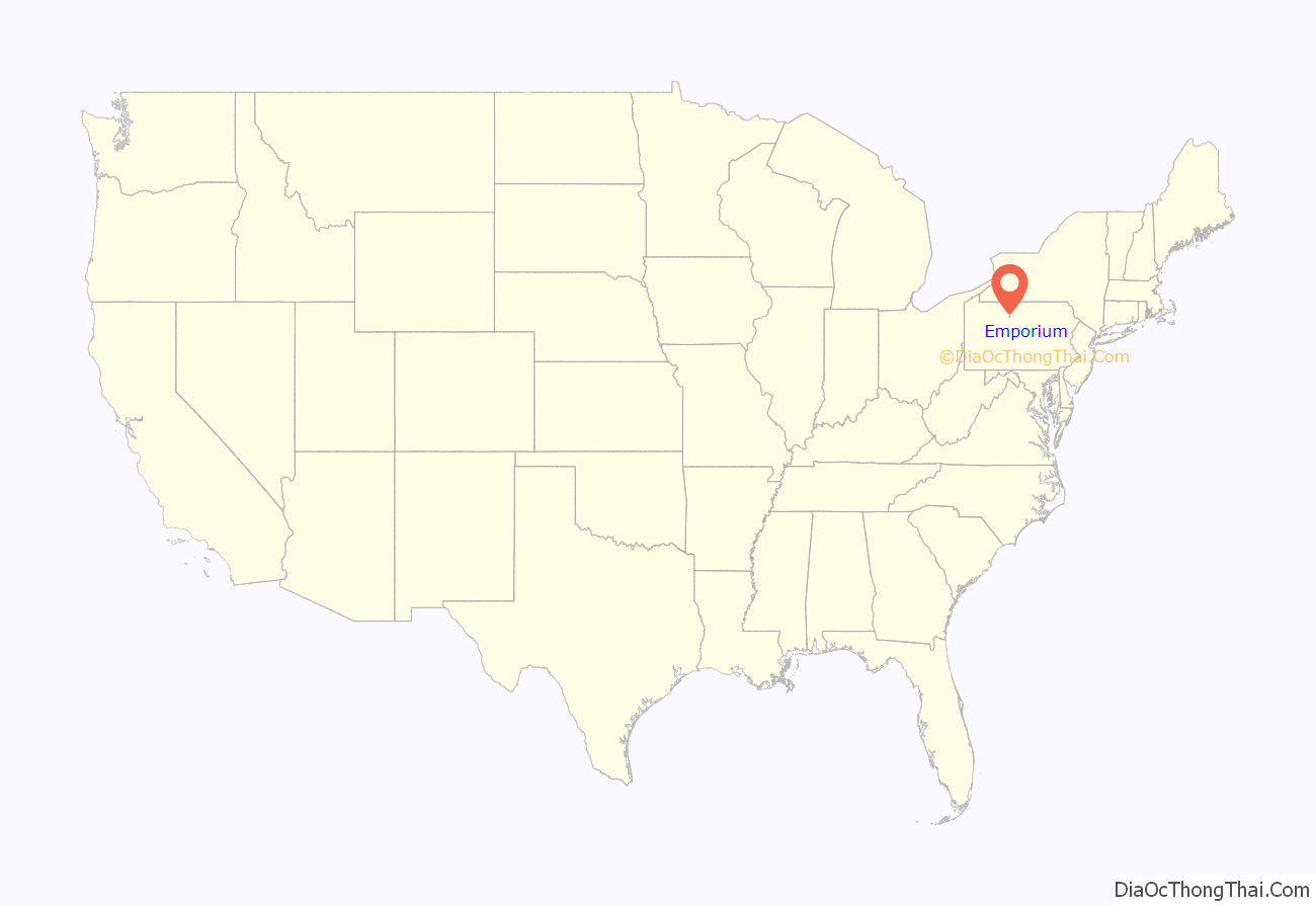
Emporium location map. Where is Emporium borough?
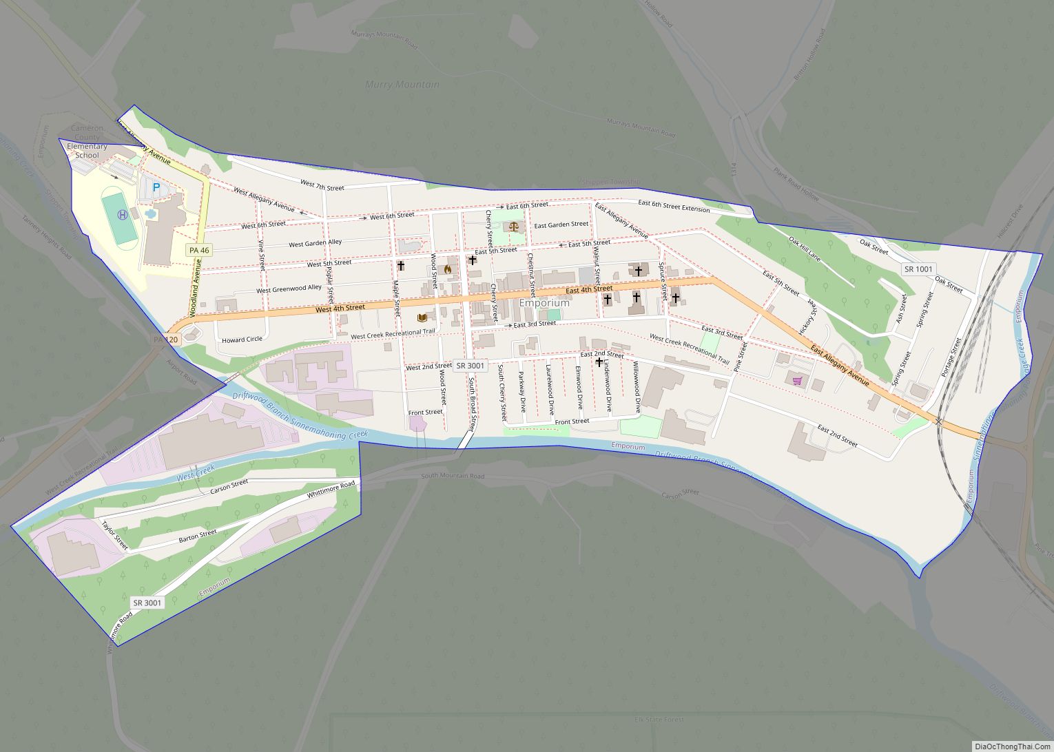
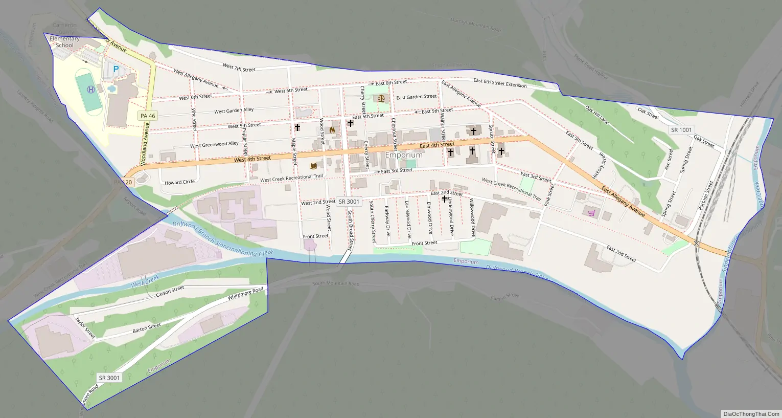
Emporium Road Map
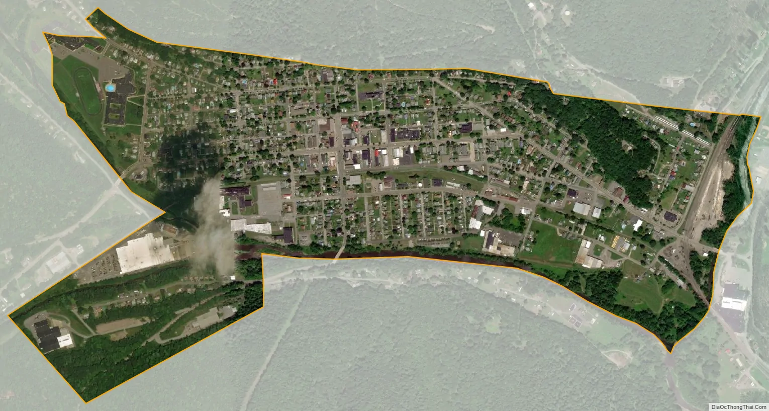
Emporium city Satellite Map
Geography
Emporium is located in northern Cameron County at 41°30′41″N 78°14′11″W / 41.51139°N 78.23639°W / 41.51139; -78.23639 (41.511288, -78.236418). It is in the valley of the Driftwood Branch of Sinnemahoning Creek, flowing southeast towards the West Branch Susquehanna River. Pennsylvania Route 120 passes through the borough, leading southeast 18 miles (29 km) to Driftwood and eventually Lock Haven and Williamsport, and west 19 miles (31 km) to St. Marys on the Eastern Continental Divide. Pennsylvania Route 46 leads northwest from Emporium 27 miles (43 km) to Smethport, and Pennsylvania Route 155 leads north 24 miles (39 km) to Port Allegany, both of which communities are in the Allegheny River basin.
According to the United States Census Bureau, Emporium has a total area of 0.73 square miles (1.9 km), of which 0.69 square miles (1.8 km) is land and 0.04 square miles (0.1 km), or 5.51%, is water.
See also
Map of Pennsylvania State and its subdivision:- Adams
- Allegheny
- Armstrong
- Beaver
- Bedford
- Berks
- Blair
- Bradford
- Bucks
- Butler
- Cambria
- Cameron
- Carbon
- Centre
- Chester
- Clarion
- Clearfield
- Clinton
- Columbia
- Crawford
- Cumberland
- Dauphin
- Delaware
- Elk
- Erie
- Fayette
- Forest
- Franklin
- Fulton
- Greene
- Huntingdon
- Indiana
- Jefferson
- Juniata
- Lackawanna
- Lancaster
- Lawrence
- Lebanon
- Lehigh
- Luzerne
- Lycoming
- Mc Kean
- Mercer
- Mifflin
- Monroe
- Montgomery
- Montour
- Northampton
- Northumberland
- Perry
- Philadelphia
- Pike
- Potter
- Schuylkill
- Snyder
- Somerset
- Sullivan
- Susquehanna
- Tioga
- Union
- Venango
- Warren
- Washington
- Wayne
- Westmoreland
- Wyoming
- York
- Alabama
- Alaska
- Arizona
- Arkansas
- California
- Colorado
- Connecticut
- Delaware
- District of Columbia
- Florida
- Georgia
- Hawaii
- Idaho
- Illinois
- Indiana
- Iowa
- Kansas
- Kentucky
- Louisiana
- Maine
- Maryland
- Massachusetts
- Michigan
- Minnesota
- Mississippi
- Missouri
- Montana
- Nebraska
- Nevada
- New Hampshire
- New Jersey
- New Mexico
- New York
- North Carolina
- North Dakota
- Ohio
- Oklahoma
- Oregon
- Pennsylvania
- Rhode Island
- South Carolina
- South Dakota
- Tennessee
- Texas
- Utah
- Vermont
- Virginia
- Washington
- West Virginia
- Wisconsin
- Wyoming