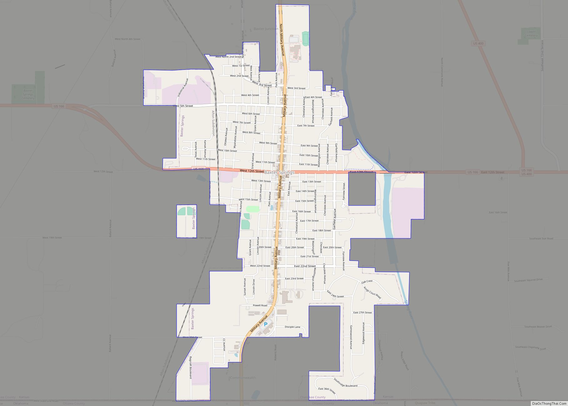
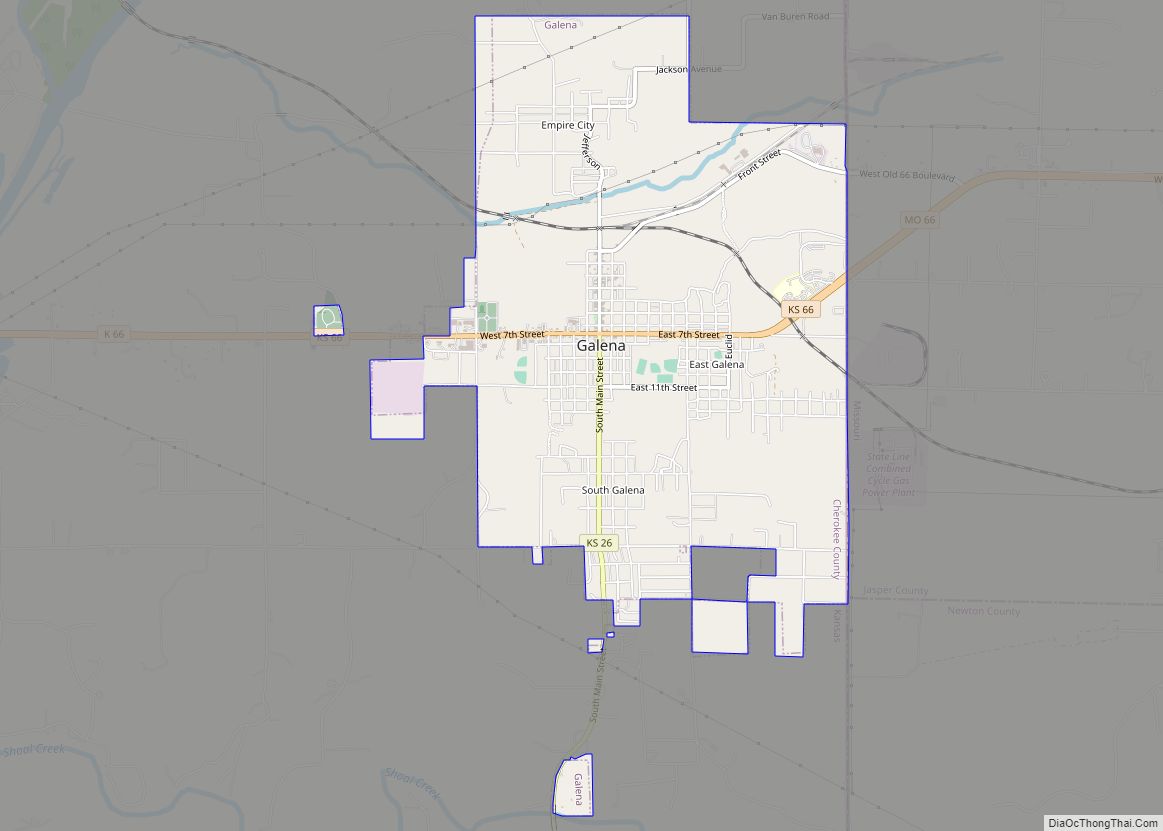
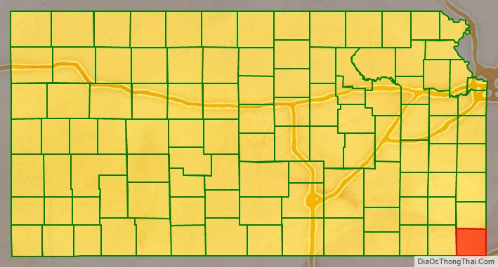
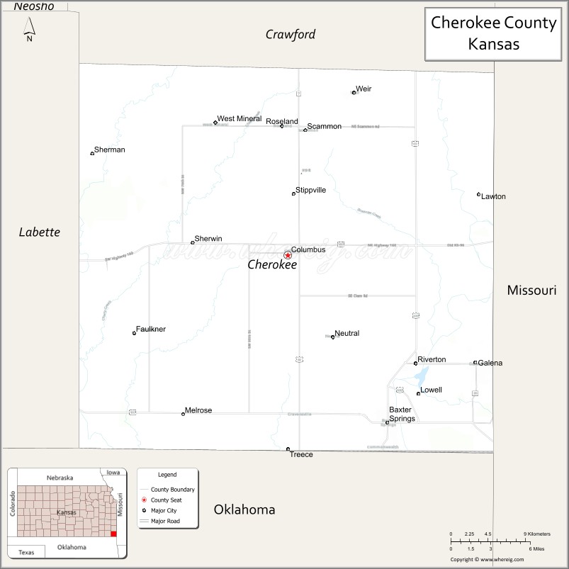
Cherokee County (county code CK) is a U.S. county located in Southeast Kansas. As of the 2020 census, the county population was 19,362. Its county seat is Columbus, and its most populous city is Baxter Springs. The latter became the first “cow town” in Kansas during the 1870s and the period of cattle drives.
| Name: | Cherokee County |
|---|---|
| FIPS code: | 20-021 |
| State: | Kansas |
| Founded: | February 18, 1860 |
| Named for: | Cherokee Native Americans |
| Seat: | Columbus |
| Largest city: | Baxter Springs |
| Total Area: | 591 sq mi (1,530 km²) |
| Land Area: | 588 sq mi (1,520 km²) |
| Total Population: | 19,362 |
| Population Density: | 32.9/sq mi (12.7/km²) |
| Time zone: | UTC−6 (Central) |
| Summer Time Zone (DST): | UTC−5 (CDT) |
| Website: | cherokeecountyks.gov |
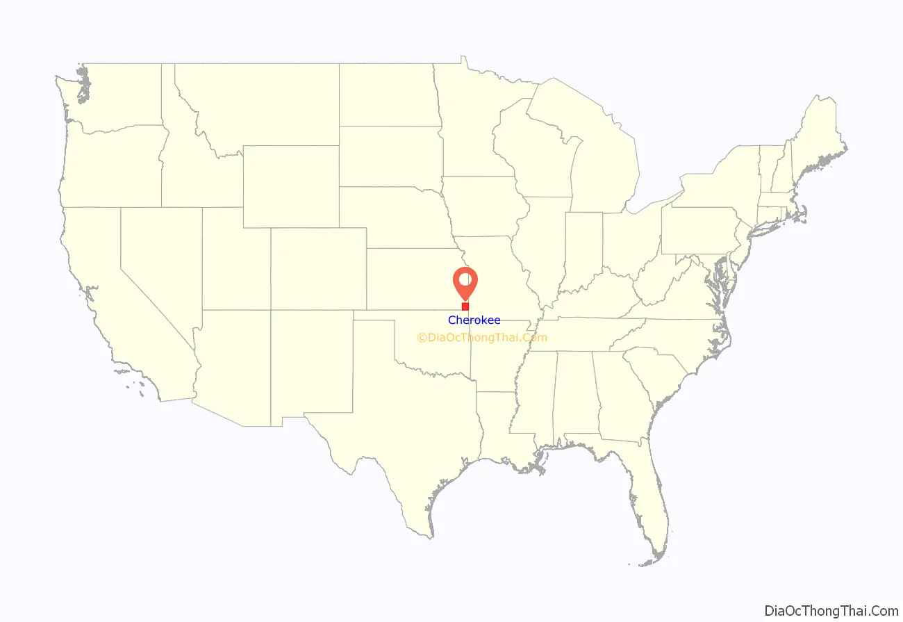
Cherokee County location map. Where is Cherokee County?
History
19th century
In 1803, United States acquired from France the 828,000-square mile Louisiana Purchase, the former French lands west of the Mississippi River, for 2.83 cents per acre. This territory included most of the land for modern-day Kansas.
In the 1830s, the United States conducted Indian Removal of the Five Civilized Tribes from the Southeast region, to extinguish their land claims and allow European-American settlement in the area. They were given lands in what was called Indian Territory west of the Mississippi River, mostly in present-day Oklahoma. This part of Kansas was included at the time in the Cherokee Neutral Lands, and the county was named after this tribe.
In 1854, the U.S. organized the Kansas Territory. Settlers began to move into the territory, with violence breaking out between supporters of slavery and those who wanted to abolish it. In 1861, Kansas was admitted as the 34th U.S. state; its constitution prohibited slavery. In 1860, Cherokee County was established.
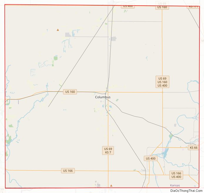
Cherokee County Road Map
Geography
According to the U.S. Census Bureau, the county has a total area of 591 square miles (1,530 km), of which 588 square miles (1,520 km) is land and 3.5 square miles (9.1 km) (0.6%) is water.
Adjacent counties
- Crawford County (north)
- Jasper County, Missouri (east)
- Newton County, Missouri (southeast)
- Ottawa County, Oklahoma (south)
- Craig County, Oklahoma (southwest)
- Labette County (west)
Major highways
Sources: National Atlas, U.S. Census Bureau
- U.S. Route 66 (decommissioned)
- U.S. Route 69
- U.S. Route 160
- U.S. Route 166
- Kansas Highway 7
- Kansas Highway 26
- Kansas Highway 57
- Kansas Highway 66 (successor to the decommissioned U.S. 66)
- Kansas Highway 96
- Kansas Highway 102
Cherokee County Topographic Map
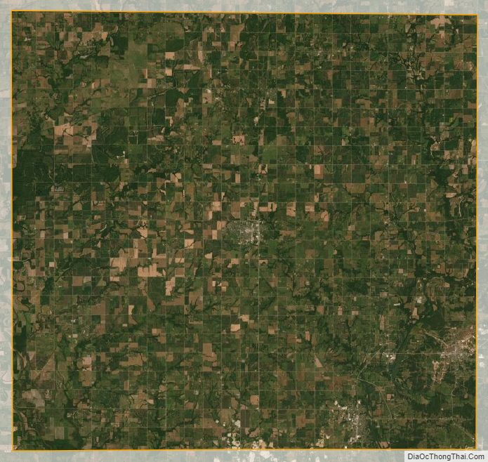
Cherokee County Satellite Map
Cherokee County Outline Map