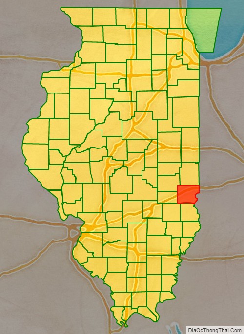
Clark County is a county located in the southeastern part of U.S. state of Illinois, along the Indiana state line. As of the 2010 census, the population was 16,335. Its county seat is Marshall. The county was named for George Rogers Clark, an officer who served in the American Revolution.
| Name: | Clark County |
|---|---|
| FIPS code: | 17-023 |
| State: | Illinois |
| Founded: | 1819 |
| Named for: | George Rogers Clark |
| Seat: | Marshall |
| Largest city: | Marshall |
| Total Area: | 505 sq mi (1,310 km²) |
| Land Area: | 501 sq mi (1,300 km²) |
| Total Population: | 16,335 |
| Population Density: | 32/sq mi (12/km²) |
| Time zone: | UTC−6 (Central) |
| Summer Time Zone (DST): | UTC−5 (CDT) |
| Website: | www.clarkcountyil.org |
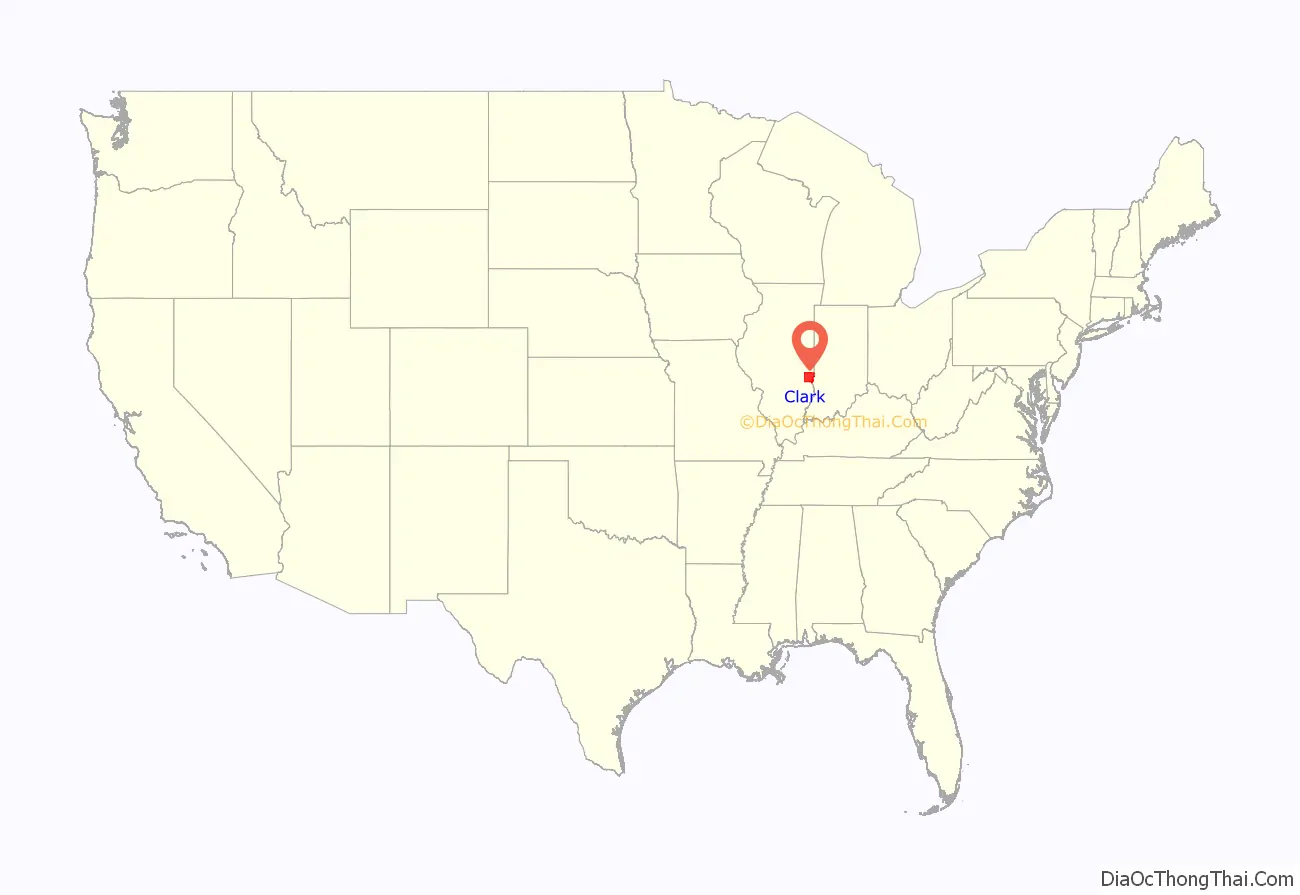
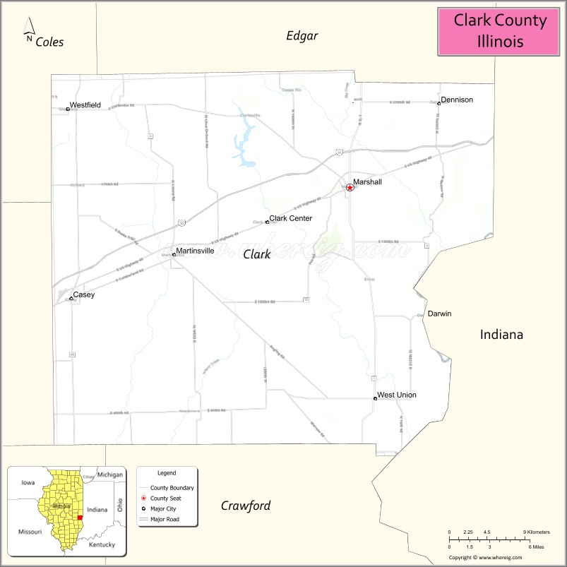
Clark County location map. Where is Clark County?
History
Clark County was formed in 1819 out of Crawford County. At the time of its formation, Clark County included about a third of Illinois, and extended as far north as the present state of Wisconsin. In 1821 the northern part of Clark County became part of the newly created Pike County on January 31, and the newly created Fayette County took the western part of Clark County on February 14. Edgar County was created from the northern part of Clark County on January 3, 1823. The creation of Coles County occupied additional land from western Clark County, effective December 25, 1830. The boundaries of Clark County have been unchanged since.
Clark County was named for George Rogers Clark (older brother of William Clark of the Lewis and Clark Expedition), an officer of the army of Virginia that captured the Northwest Territory from the British during the Revolutionary War.
Clark County from the time of its creation to 1821
Clark between 1821 and 1823
Clark between 1823 and 1830
Clark reduced to its current size in 1830 by the creation of Coles County
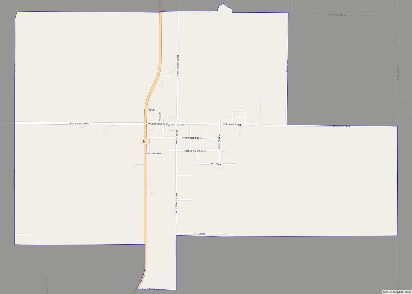
The county seat was located in Darwin Township in 1823. A county-wide referendum was held In 1839 to determine whether Auburn or Marshall would be designated as the new seat. Marshall won the election and has remained the county seat since then.
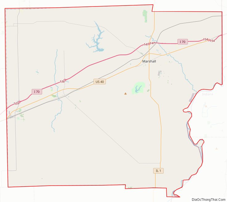
Clark County Road Map
Geography
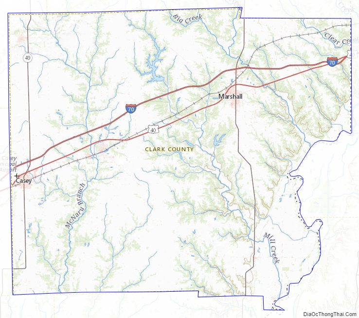
According to the U.S. Census Bureau, the county has a total area of 505 square miles (1,310 km), of which 501 square miles (1,300 km) is land and 3.4 square miles (8.8 km) (0.7%) is water. Part of the county’s eastern border is defined by the Wabash River. The North Fork of the Embarras River and Hurricane Creek are the main streams in western Clark County. Other than the Wabash River, Big Creek is the major stream in the eastern part of the county.
Adjacent counties
- Edgar County – north
- Vigo County, Indiana – northeast
- Sullivan County, Indiana – southeast
- Crawford County – south
- Jasper County – southwest
- Cumberland County – west
- Coles County – northwest
Major highways
- Interstate 70
- U.S. Route 40
- Illinois Route 1
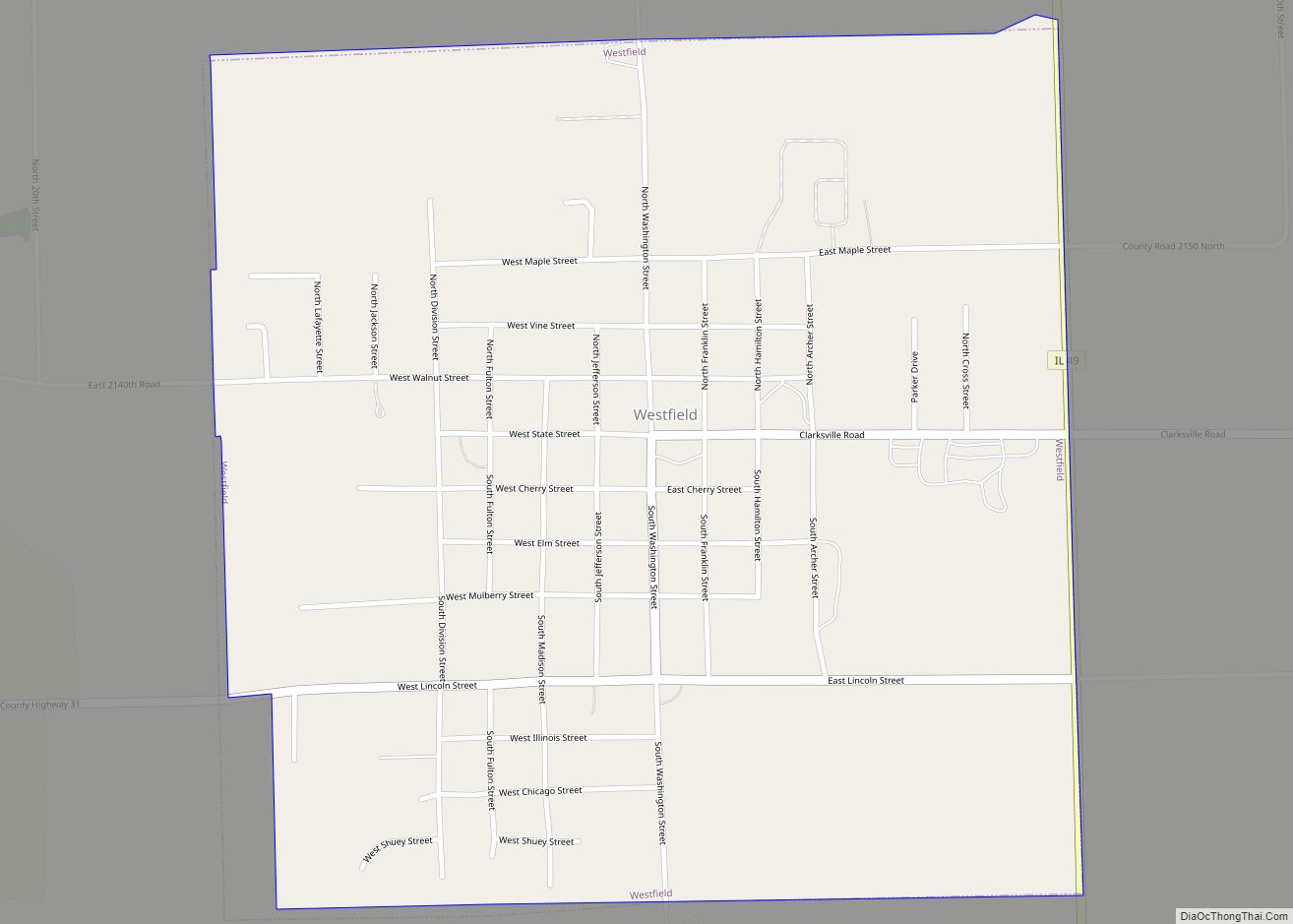
- Illinois Route 49
Clark County Topographic Map
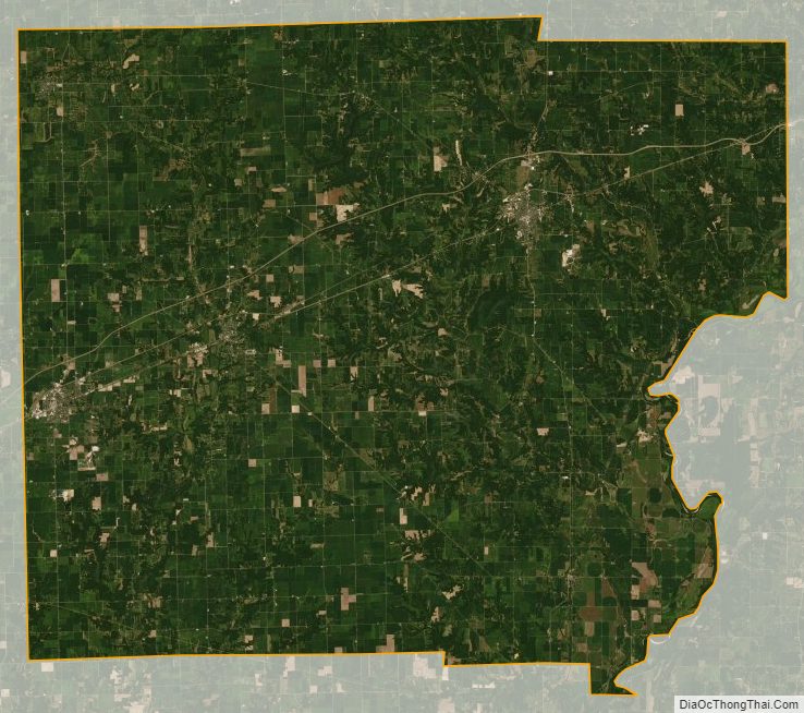
Clark County Satellite Map
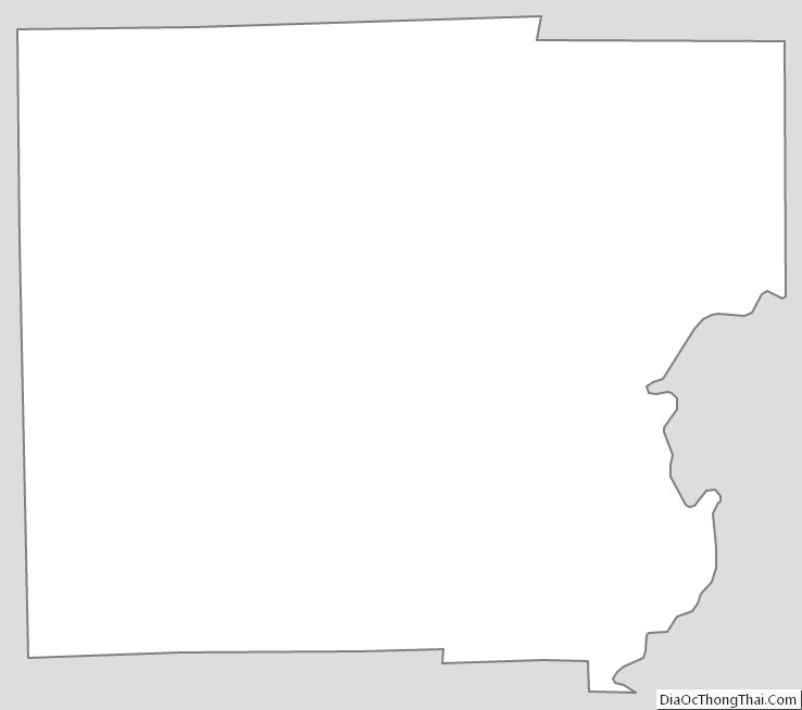
Clark County Outline Map