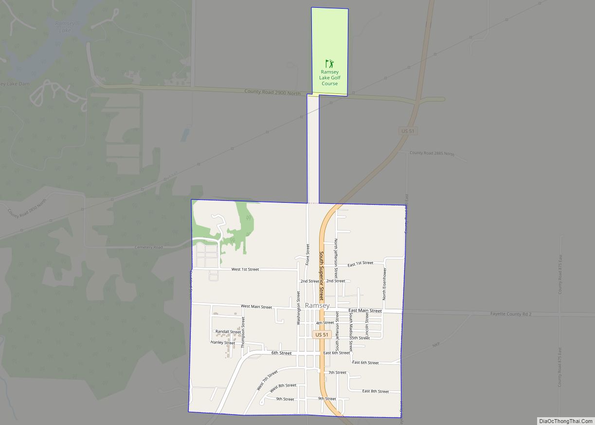
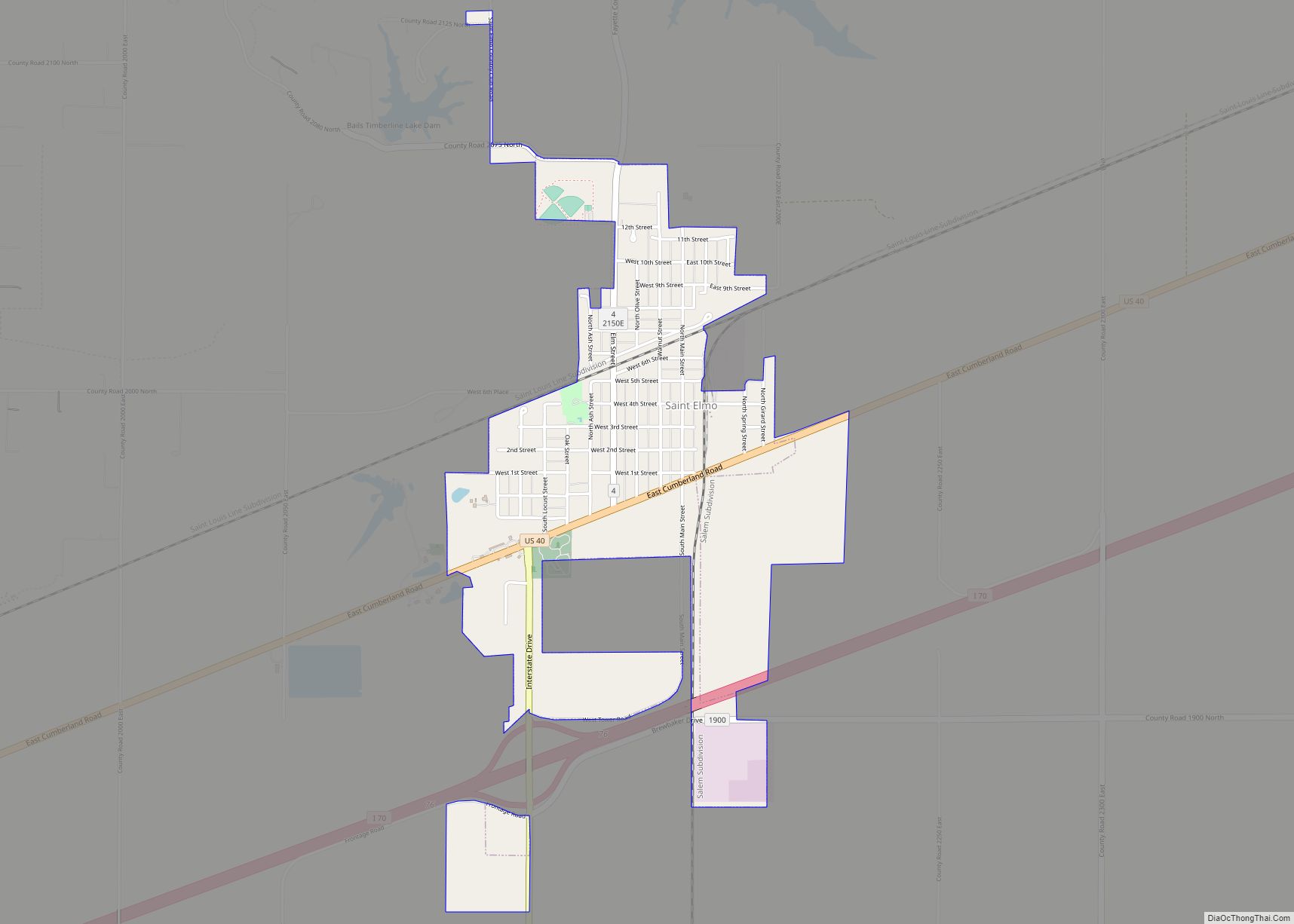
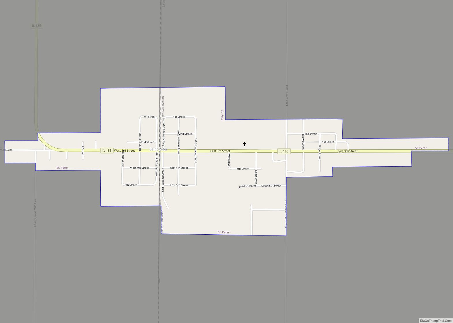
Fayette County is a county located in the U.S. state of Illinois. As of the 2010 census, the population was 22,140. Its county seat is Vandalia, the site of the Vandalia State House State Historic Site. Ramsey Lake State Recreation Area is located in the northwest part of this county.
| Name: | Fayette County |
|---|---|
| FIPS code: | 17-051 |
| State: | Illinois |
| Founded: | 1821 |
| Named for: | Marquis de Lafayette |
| Seat: | Vandalia |
| Largest city: | Vandalia |
| Total Area: | 725 sq mi (1,880 km²) |
| Land Area: | 716 sq mi (1,850 km²) |
| Total Population: | 22,140 |
| Population Density: | 31/sq mi (12/km²) |
| Time zone: | UTC−6 (Central) |
| Summer Time Zone (DST): | UTC−5 (CDT) |
| Website: | www.fayettecountyillinois.org |
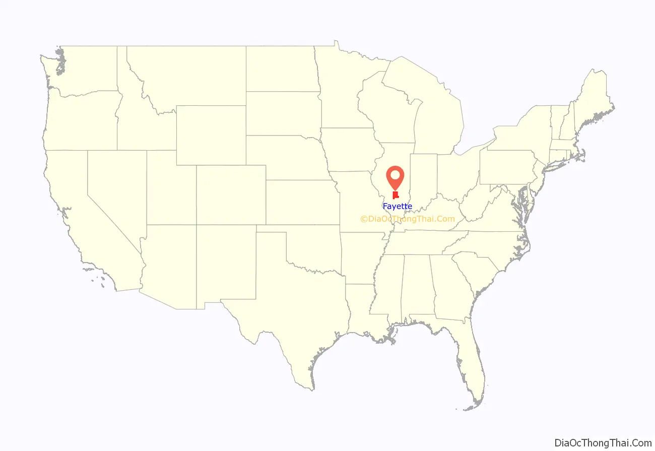
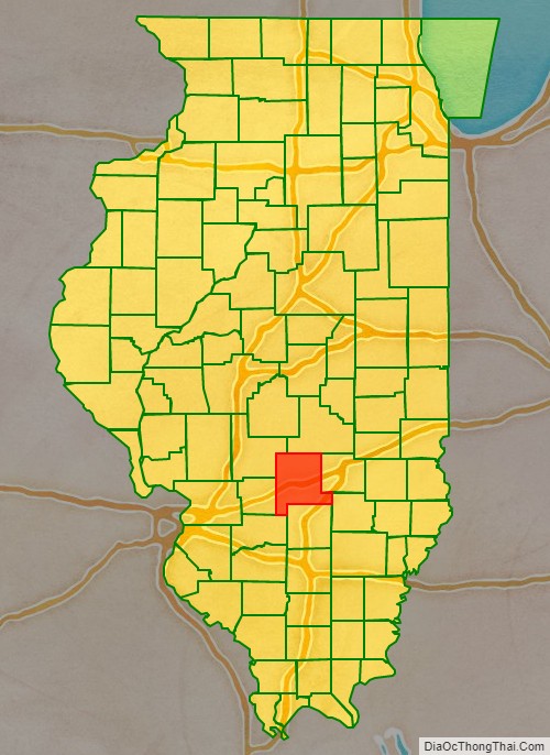
Fayette County location map. Where is Fayette County?
History
Fayette County was formed in 1821 out of Bond, Clark, and Crawford counties. It was named in honor of the Marquis de LaFayette, French hero of the American Revolutionary War.
Fayette County between the time of its creation and 1823
Fayette between 1823 and 1824
Fayette between 1824 and 1827
Fayette between 1827 and 1831
Fayette in 1831, when the creation of Effingham County reduced it to its current size
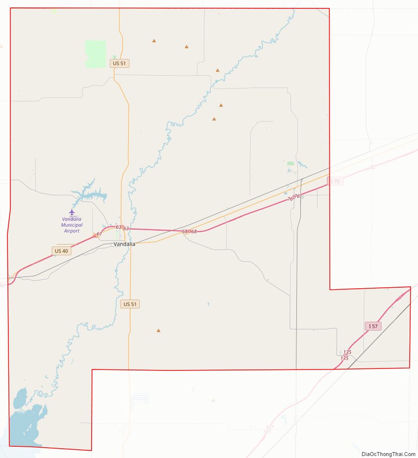
Fayette County Road Map
Geography
According to the U.S. Census Bureau, the county has a total area of 725 square miles (1,880 km), of which 716 square miles (1,850 km) is land and 8.9 square miles (23 km) (1.2%) is water.
Climate and weather
In recent years, average temperatures in the county seat of Vandalia have ranged from a low of 18 °F (−8 °C) in January to a high of 88 °F (31 °C) in July, although a record low of −21 °F (−29 °C) was recorded in January 1985 and a record high of 104 °F (40 °C) was recorded in July 1980. Average monthly precipitation ranged from 2.41 inches (61 mm) in February to 4.11 inches (104 mm) in May.
Adjacent counties
- Shelby County – northeast
- Effingham County – east
- Clay County – southeast
- Marion County – south
- Clinton County – southwest
- Bond County – west
- Montgomery County – northwest
Major highways
- Interstate 57
- Interstate 70
- U.S. Route 40
- U.S. Route 51
- Illinois Route 33
- Illinois Route 37
- Illinois Route 128
- Illinois Route 140
- Illinois Route 185
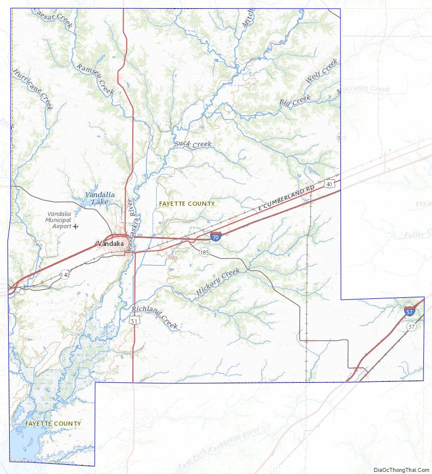
Fayette County Topographic Map
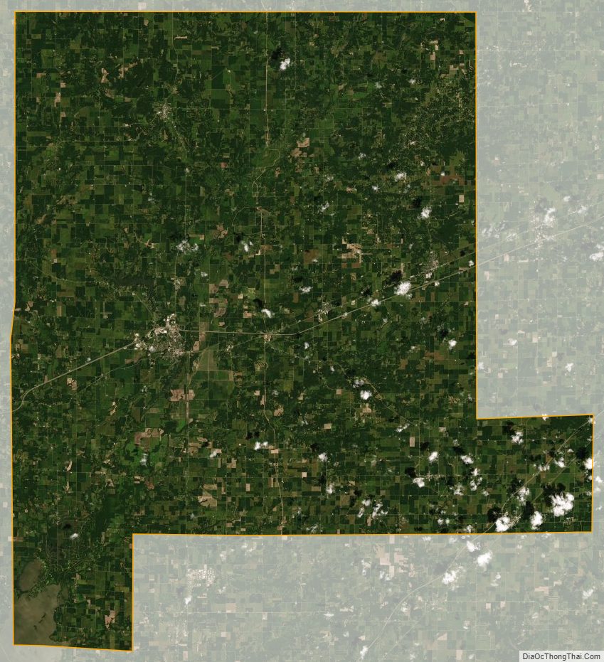
Fayette County Satellite Map
Fayette County Outline Map