Des Moines County is located in the U.S. state of Iowa. As of the 2020 census, the population was 38,910. The county seat and largest city is Burlington. It is one of Iowa’s two original counties along with Dubuque County; both were organized by the Michigan Territorial legislature in 1834.
Des Moines County is part of the Burlington, IA–IL Micropolitan Statistical Area.
Des Moines County should not be confused with the city of Des Moines, which is the capital of Iowa. Des Moines County sits on Iowa’s eastern border alongside the Mississippi River. The city of Des Moines is in Polk County in central Iowa. Both places derive their name from the Des Moines River, which flows through the city of Des Moines and originally flowed through the county. When the county was divided early in Iowa’s history, the river ended up further west, forming the border between Lee County, Iowa and the state of Missouri.
| Name: | Des Moines County |
|---|---|
| FIPS code: | 19-057 |
| State: | Iowa |
| Founded: | 1834 |
| Named for: | Des Moines River |
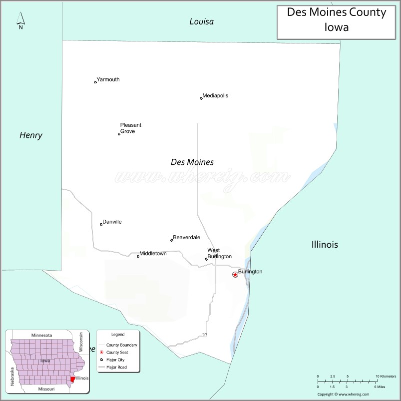
| Seat: | Burlington |
| Largest city: | Burlington |
| Total Area: | 430 sq mi (1,100 km²) |
| Land Area: | 416 sq mi (1,080 km²) |
| Total Population: | 38,910 |
| Population Density: | 90/sq mi (35/km²) |
| Time zone: | UTC−6 (Central) |
| Summer Time Zone (DST): | UTC−5 (CDT) |
| Website: | www.desmoinescounty.iowa.gov |
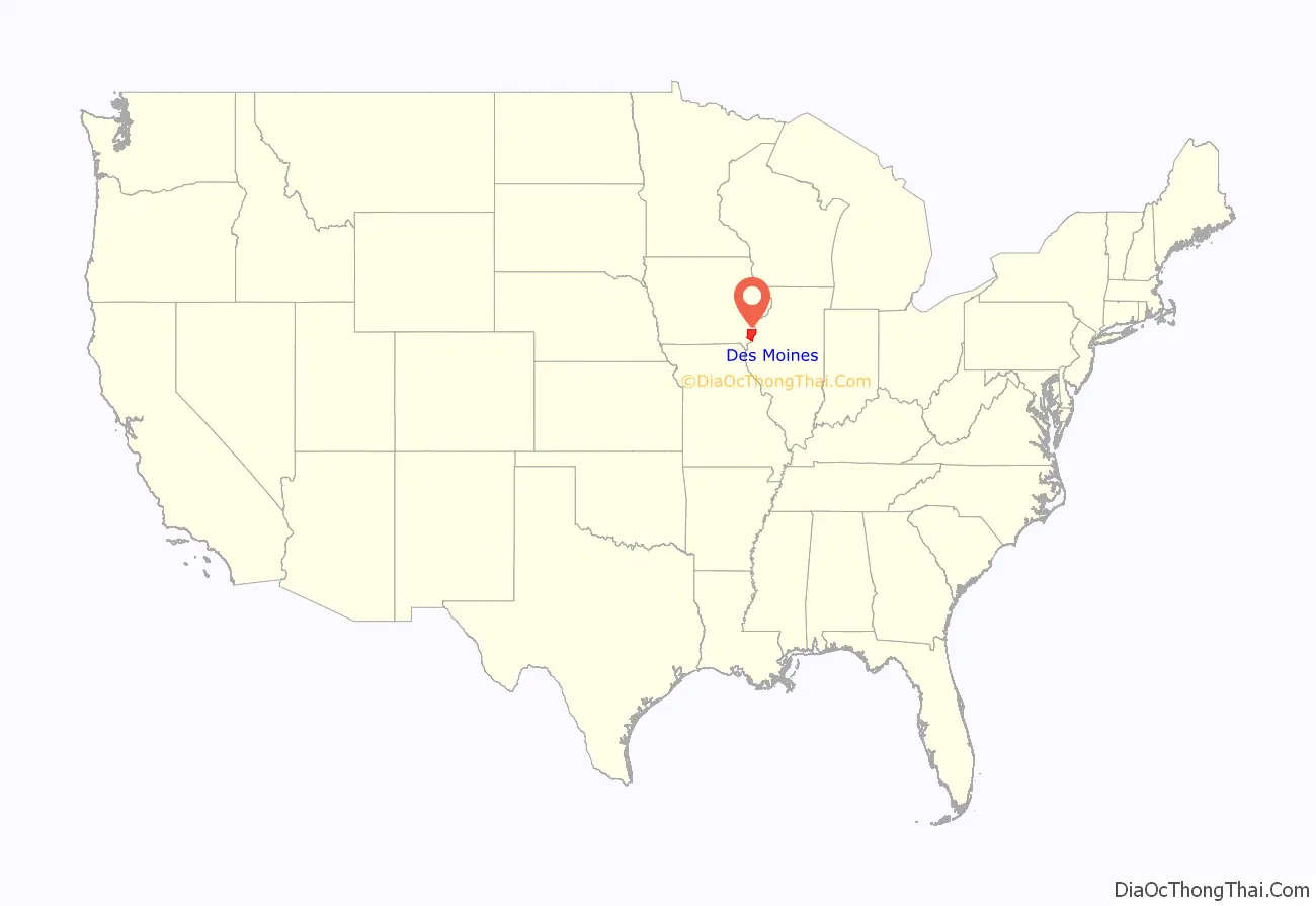
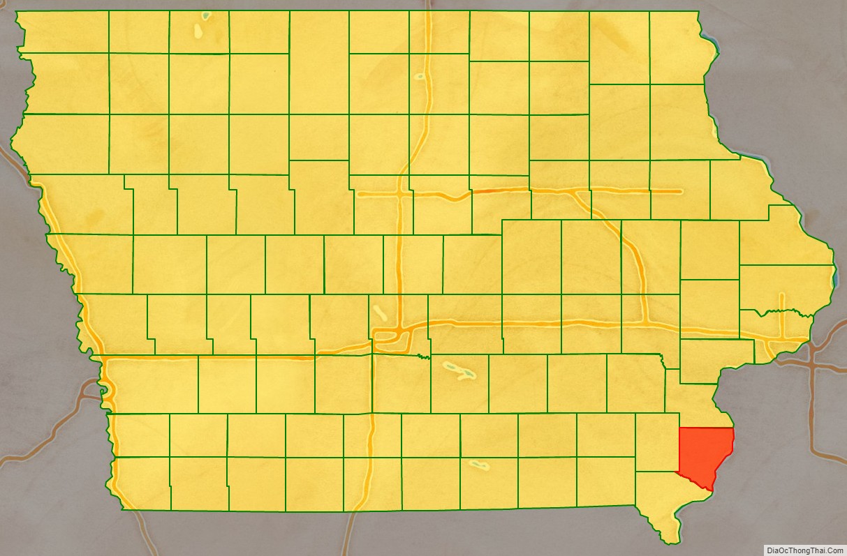
Des Moines County location map. Where is Des Moines County?
History
At an extra session of the Sixth Legislative Assembly of Michigan Territory held in September, 1834, the Iowa District was divided into two counties by running a line due west from the lower end of Rock Island in the Mississippi River. The territory north of this line (which started just south of the present-day Davenport) was named Dubuque County, and all south of it was Demoine County. It was named after the Des Moines River. From July 3, 1836, until July 3, 1838, Des Moines County was part of Wisconsin Territory. The county underwent various border changes during this time. July 4, 1838, the named county became part of Iowa Territory (later the state of Iowa).
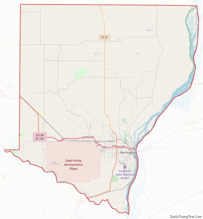
The current Des Moines County Court House was completed in 1940. The Iowa Army Ammunition Plant was also established in 1940.
Des Moines County Road Map
Geography
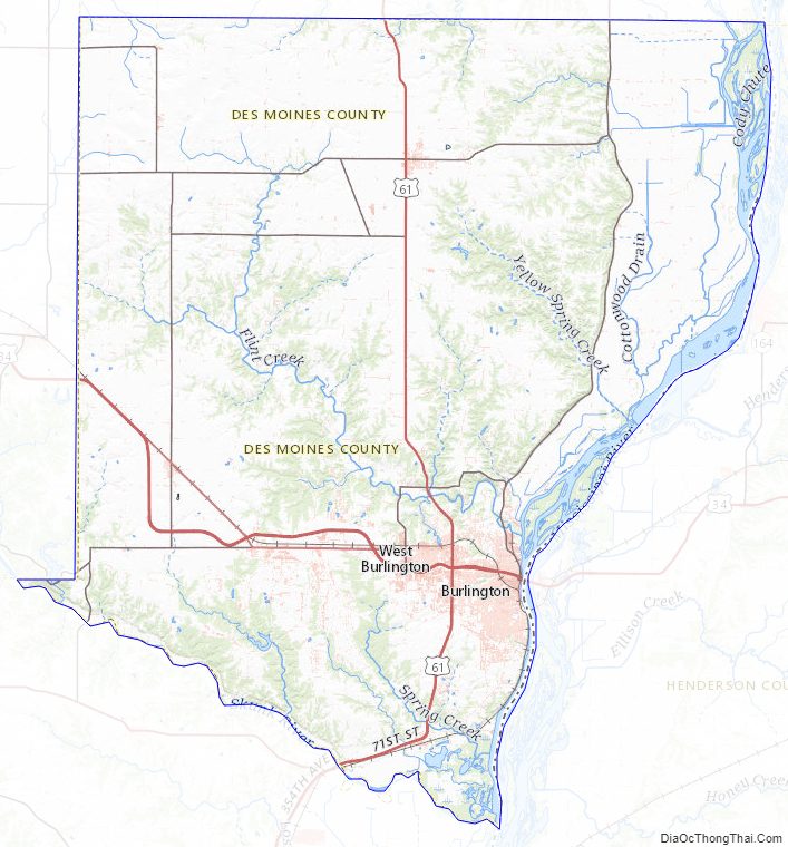
According to the U.S. Census Bureau, the county has a total area of 430 square miles (1,100 km), of which 416 square miles (1,080 km) is land and 14 square miles (36 km) (3.2%) is water. The Mississippi River forms the east border; Skunk River, the south border; and the county is drained by Flint Creek.
Major highways
- U.S. Highway 34
- U.S. Highway 61
Transit
- Burlington station
- Burlington Urban Service
- List of intercity bus stops in Iowa
Airport
The Southeast Iowa Regional Airport (IATA code BRL), is located on the southern side of Burlington.
Adjacent counties
- Louisa County (north)
- Hancock County, Illinois (southeast)
- Henderson County, Illinois (east)
- Lee County (south)
- Henry County (west)
Des Moines County Topographic Map
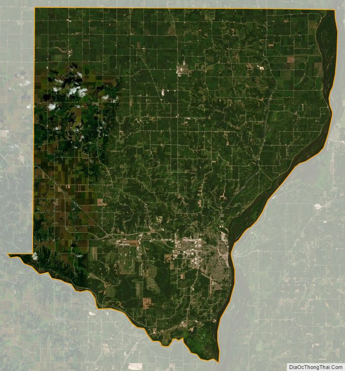
Des Moines County Satellite Map
Des Moines County Outline Map