Elko County is a county in the northeastern corner of Nevada, United States. As of the 2020 census, the population was 53,702. Its county seat is Elko. The county was established on March 5, 1869, from Lander County.
Elko County is the fourth-largest county by area in the contiguous United States, ranking lower when the boroughs of Alaska are included. It is one of only 10 counties in the U.S. with more than 10,000 square miles (25,900 km) of area.
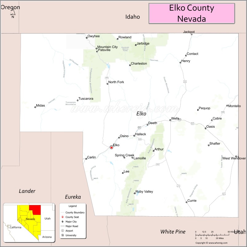
Elko County is part of the Elko, NV Micropolitan Statistical Area. It contains 49.8 percent of the Duck Valley Indian Reservation, set up in the late 19th century for the Shoshone-Paiute peoples; they are a federally recognized tribe. Although slightly more than 50% of the reservation is across the border in Owyhee County, Idaho, the majority of tribal members live on the Nevada side. The reservation’s land area is 450.391 square miles (1,166.5 km).
| Name: | Elko County |
|---|---|
| FIPS code: | 32-007 |
| State: | Nevada |
| Founded: | 1869 |
| Named for: | Elko |
| Seat: | Elko |
| Largest city: | Elko |
| Total Area: | 17,203 sq mi (44,560 km²) |
| Land Area: | 17,170 sq mi (44,500 km²) |
| Total Population: | 53,702 |
| Population Density: | 3.1/sq mi (1.2/km²) |
| Summer Time Zone (DST): | UTC−7 (PDT) |
| Website: | elkocountynv.net |
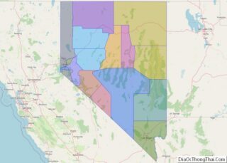
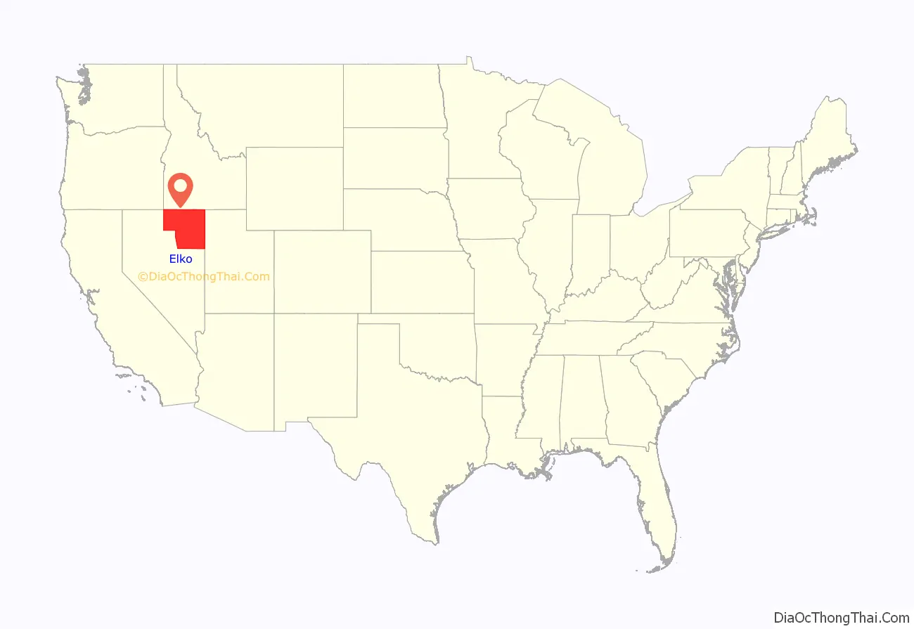
Elko County location map. Where is Elko County?
History
This area was long inhabited by Native American tribes of the Plateau, particularly the Western Shoshone, Northern Paiute, and Bannock peoples. Their traditional ways were disrupted after European-American settlement, as the two cultures competed for resources and had differing conceptions of land use and property.
Elko County was established in 1869 from Lander County; the name was taken from the name of the county seat, Elko.
In 1877 what became known as the Duck Valley Indian Reservation was established by presidential executive order for the Western Shoshone in this area, after they signed treaties with the United States. Later the Paiute became involved in the Bannock War, but after they were allowed to return from exile in Washington State, in 1886 another executive order was used to expand the reservation to accommodate them. The federally recognized tribe of the two peoples together conducts farming and ranching in this high desert territory.
The population of the county increased markedly in the late 20th century as the economy improved.
On March 14, 2014, the Bureau of Land Management sold 29 oil and gas leases for $1.27 million to a collection of six companies that included Noble Energy. The transaction was the first such in Nevada.
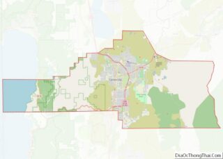
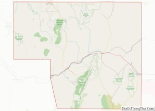
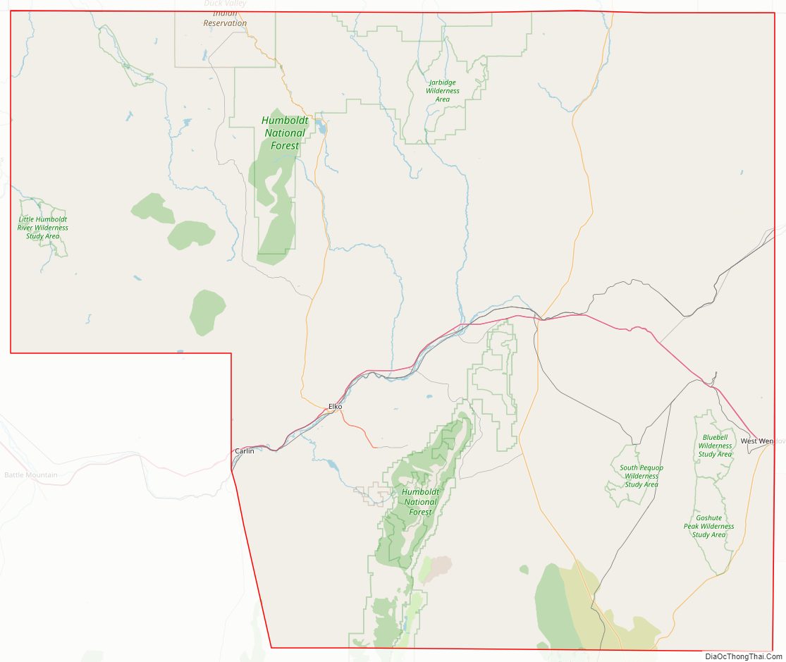
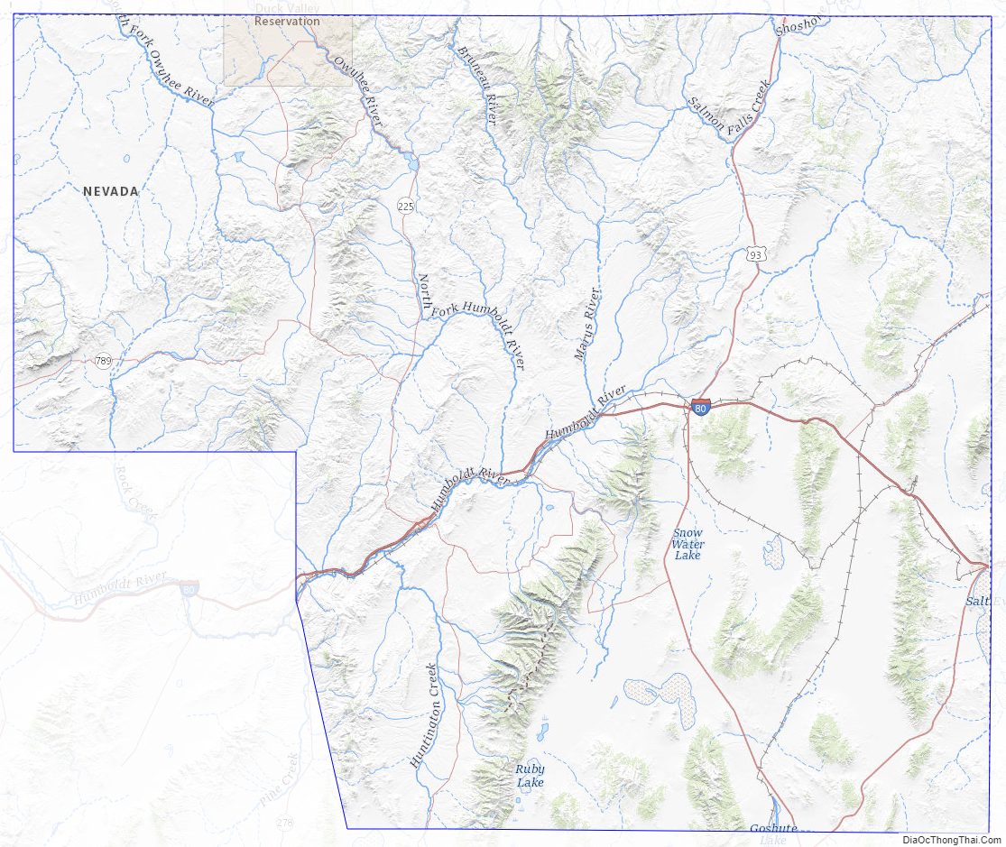
Elko County Road Map
Geography
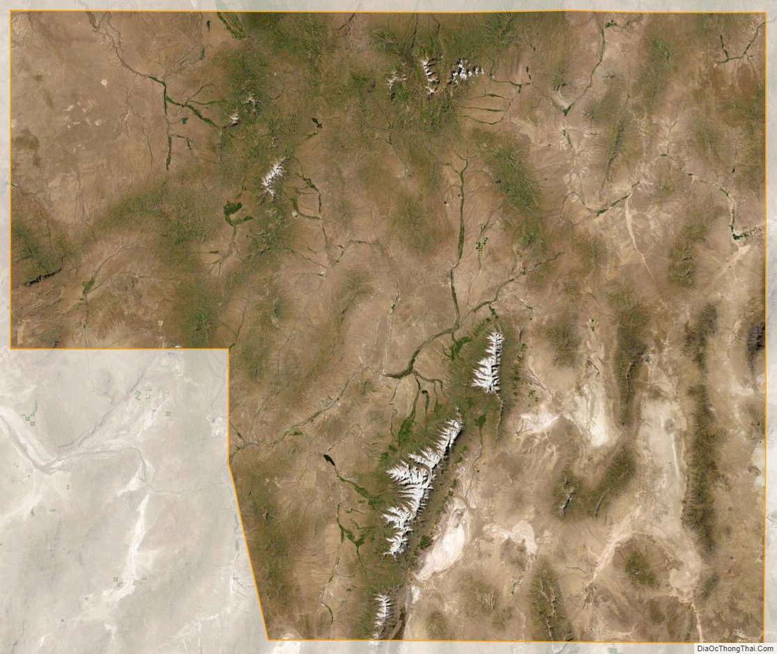
According to the U.S. Census Bureau, the county has a total area of 17,203 square miles (44,560 km), of which 17,170 square miles (44,500 km) is land and 33 square miles (85 km) (0.2%) is water. Not counting Alaska’s boroughs (four of which are also larger), it is the fourth-largest county in area in the United States (behind San Bernardino County, California, Coconino County, Arizona, and Nye County, Nevada). The elevation ranges from about 4,300 feet (1,300 m) at the edge of the salt flats of the Great Salt Lake Desert, to 11,387 feet (3,471 m) on the summit of Ruby Dome in the Ruby Mountains. The most topographically prominent mountain in Elko County is Pilot Peak.
The county has three physiographic sections (70% Great Basin section, 20% Payette, 10% Snake River Plain) and 4 watersheds (45% Humboldt River, 30% Upper Snake River, 20% central Nevada desert, 5% Pilot-Thousand Springs).
National protected areas
- Humboldt-Toiyabe National Forest (part)
- Ruby Lake National Wildlife Refuge (part)
Adjacent counties
- Owyhee County, Idaho – northwest/Mountain Time Border
- Twin Falls County, Idaho – north/Mountain Time Border
- Cassia County, Idaho – northeast/Mountain Time Border
- Box Elder County, Utah – east/Mountain Time Border
- Tooele County, Utah – southeast/Mountain Time Border
- White Pine County – south
- Eureka County – southwest
- Lander County – southwest
- Humboldt County – west
Time zones
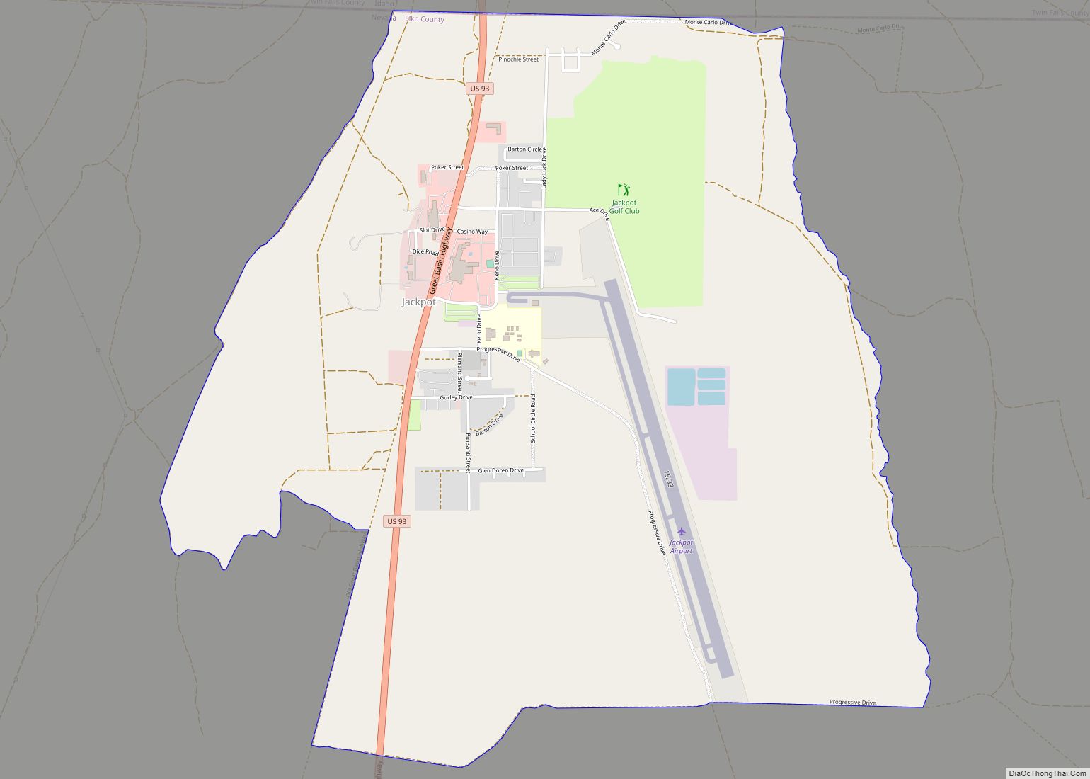
Except for West Wendover which is in the Mountain Time Zone, the county is in the Pacific Time Zone, though other communities such as Owyhee, Mountain City, Jarbidge and Jackpot unofficially observe Mountain Time as well due to their proximity to, and economic connections with, neighboring areas of Idaho.
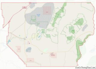
Elko County Topographic Map
Elko County Satellite Map
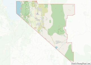
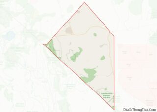
Elko County Outline Map