Ford County is a county located in the U.S. state of Illinois. According to the 2010 United States Census, it had a population of 14,081. Its county seat is Paxton. Ford County was part of the Champaign–Urbana, IL Metropolitan Statistical Area until 2018, when the Office of Management and Budget removed the county from the area.
| Name: | Ford County |
|---|---|
| FIPS code: | 17-053 |
| State: | Illinois |
| Founded: | February 17, 1859 |
| Named for: | Thomas Ford |
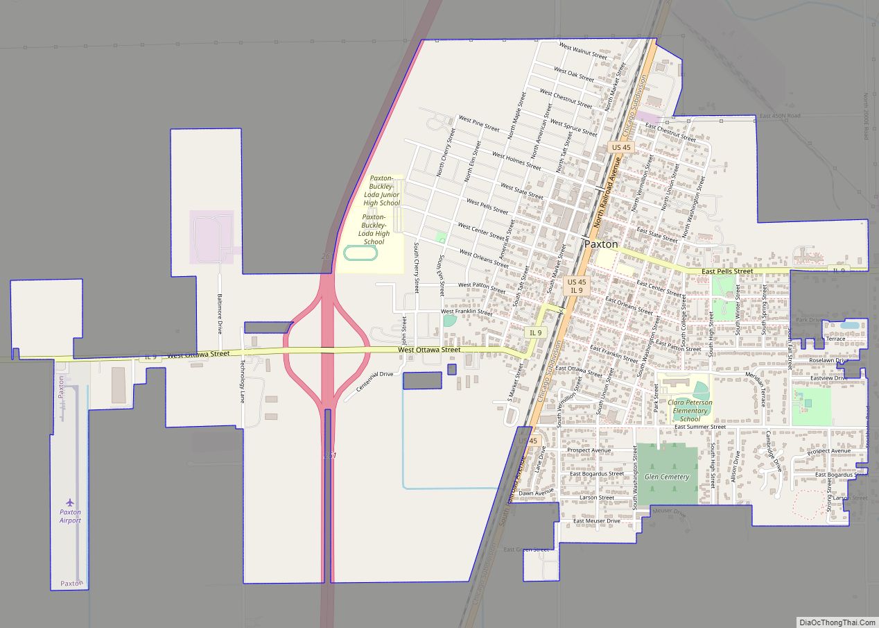
| Seat: | Paxton |
| Largest city: | Paxton |
| Total Area: | 486 sq mi (1,260 km²) |
| Land Area: | 486 sq mi (1,260 km²) |
| Total Population: | 14,081 |
| Population Density: | 29/sq mi (11/km²) |
| Time zone: | UTC−6 (Central) |
| Summer Time Zone (DST): | UTC−5 (CDT) |
| Website: | www.fordcountycourthouse.com |
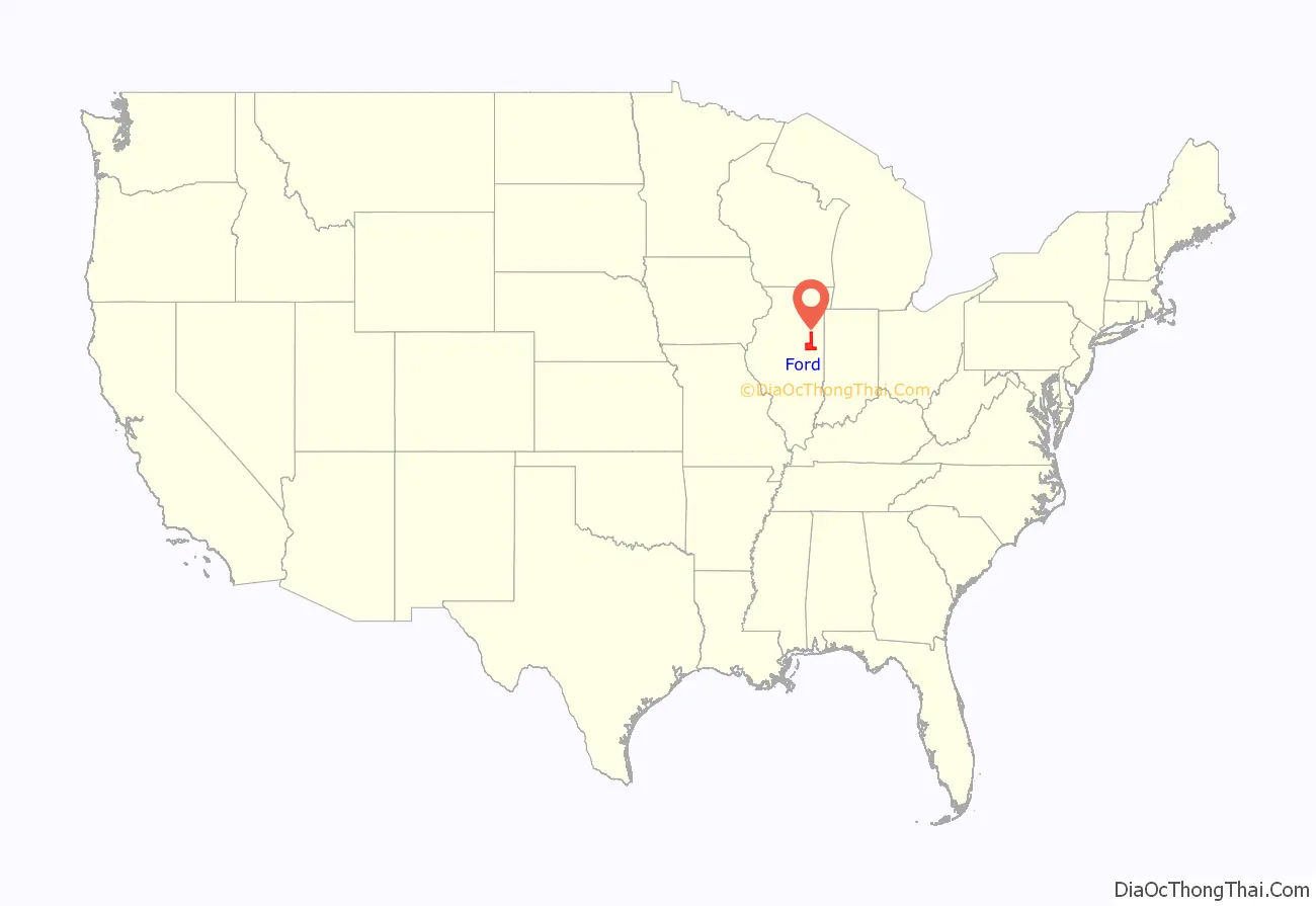
Ford County location map. Where is Ford County?

History
Ford County was formed February 17, 1859 making it Illinois’s “newest” county. It was created at the behest of some residents of Vermilion County, who complained to the General Assembly that they lived too far from the county seat. Ford County was named after Thomas Ford, the Governor of Illinois from 1842 to 1846.
The creation of Douglas and Ford Counties in 1859 resulted in Illinois’s current county map.
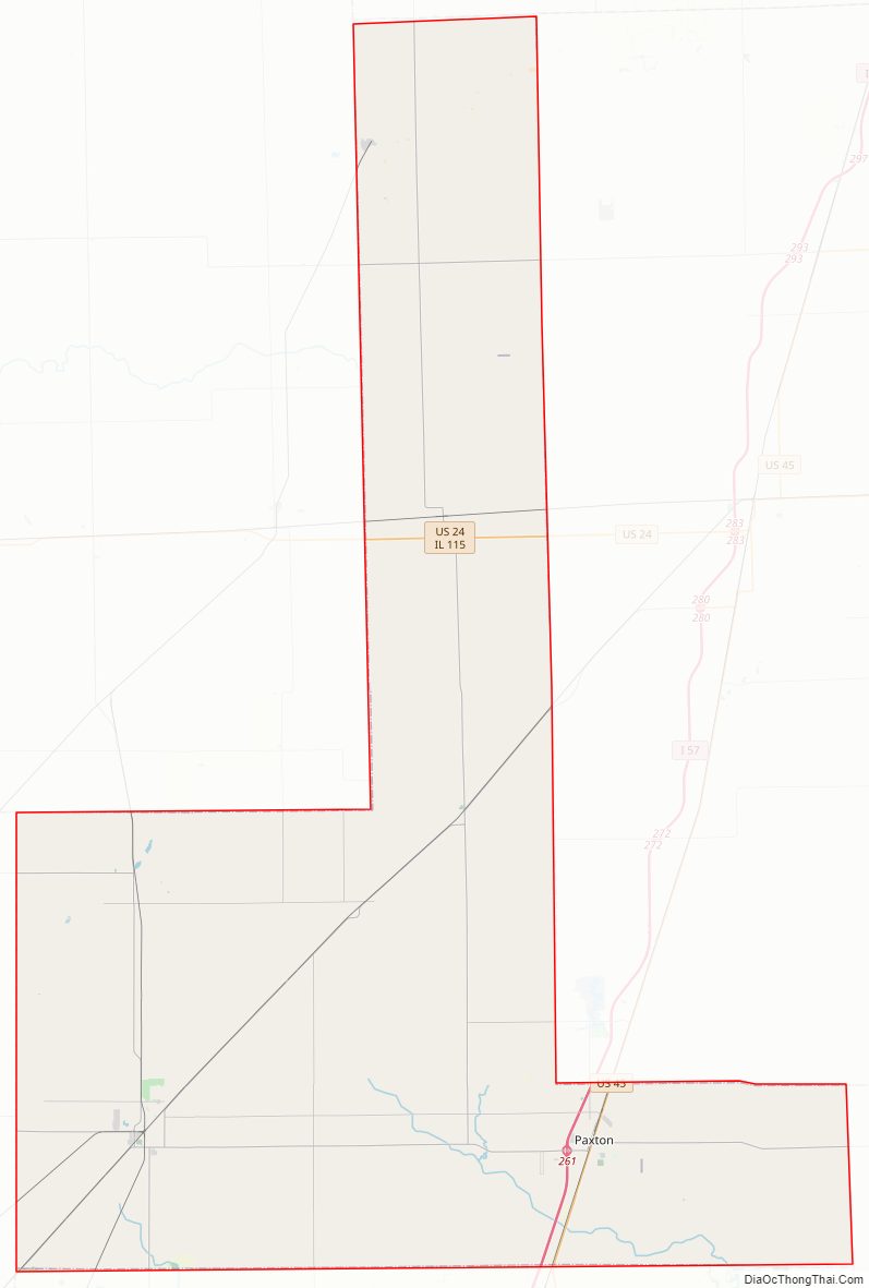
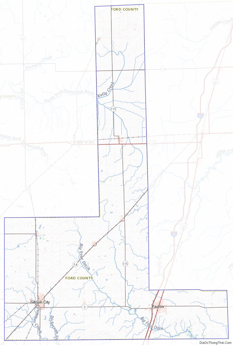
Ford County Road Map
Geography
According to the US Census Bureau, the county has a total area of 486 square miles (1,260 km), of which 486 square miles (1,260 km) is land and 0.6 square miles (1.6 km) (0.1%) is water.
Climate and weather
In recent years, average temperatures in the county seat of Paxton have ranged from a low of 14 °F (−10 °C) in January to a high of 85 °F (29 °C) in July, although a record low of −25 °F (−32 °C) was recorded in January 1999 and a record high of 102 °F (39 °C) was recorded in June 1988. Average monthly precipitation ranged from 1.40 inches (36 mm) in February to 4.38 inches (111 mm) in May.
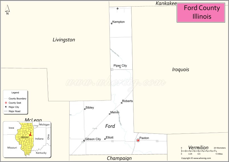
Adjacent counties
- Kankakee County – north
- Iroquois County – east
- Vermilion County – southeast
- Champaign County – south
- McLean County – southwest
- Livingston County – west
Major highways
- Interstate 57
- US Route 24
- US Route 45
- Illinois Route 9
- Illinois Route 47
- Illinois Route 54
- Illinois Route 115
- Illinois Route 116
Ford County Topographic Map
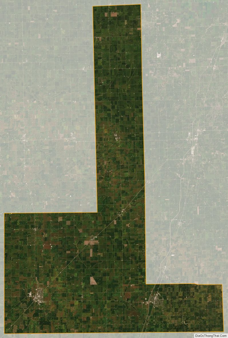
Ford County Satellite Map
Ford County Outline Map