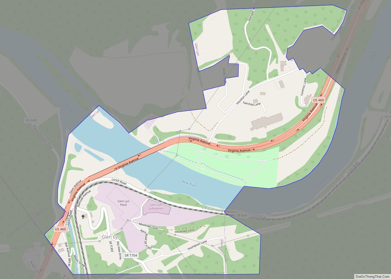
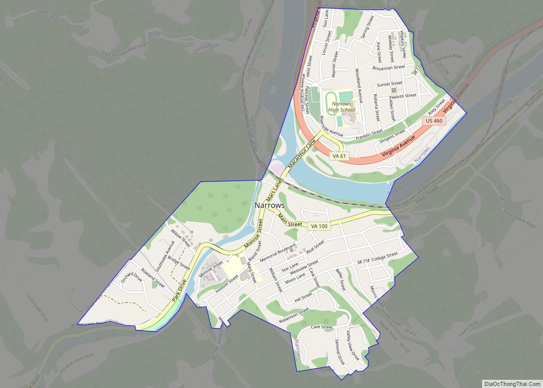
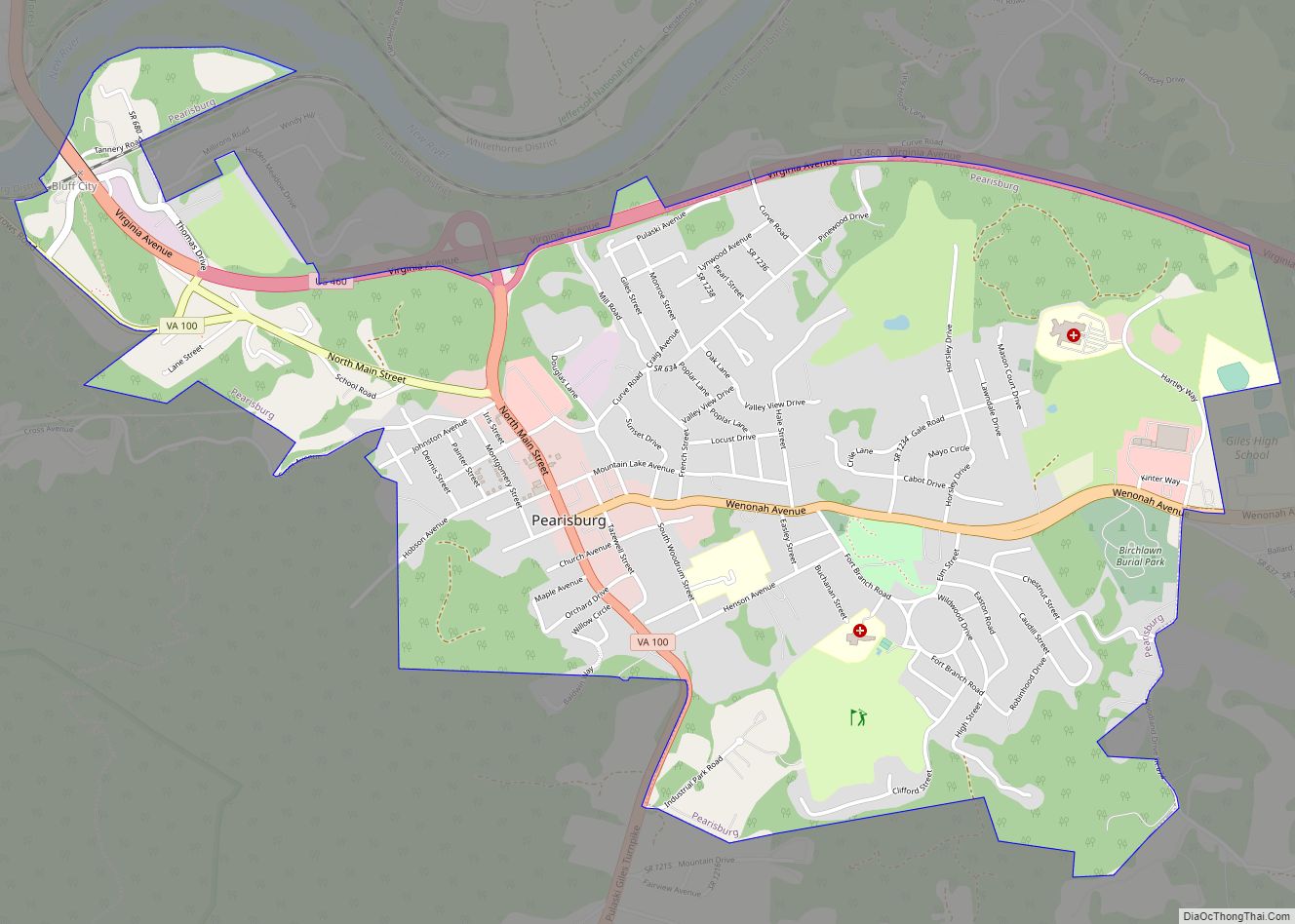
Giles County is a county located in the U.S. state of Virginia on the West Virginia state line. As of the 2020 census, the population was 16,787. Its county seat is Pearisburg.
Giles County is included in the Blacksburg–Christiansburg, VA Metropolitan Statistical Area.
Giles County is the location of Mountain Lake, one of only two natural fresh water lakes in Virginia. The lake drains into Little Stony Creek, which passes over a waterfall known as The Cascades before reaching the New River.
| Name: | Giles County |
|---|---|
| FIPS code: | 51-071 |
| State: | Virginia |
| Founded: | 1806 |
| Named for: | William Branch Giles |
| Seat: | Pearisburg |
| Largest town: | Pearisburg |
| Total Area: | 360 sq mi (900 km²) |
| Land Area: | 356 sq mi (920 km²) |
| Total Population: | 16,787 |
| Population Density: | 47/sq mi (18/km²) |
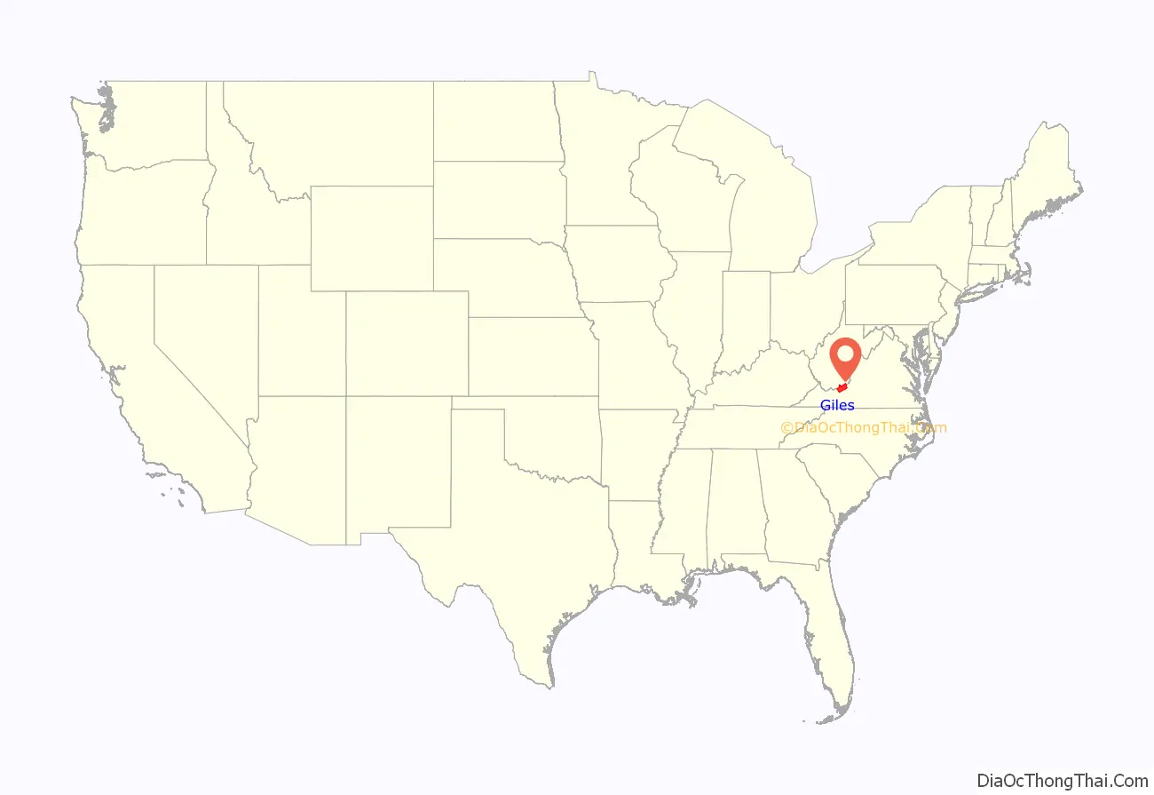
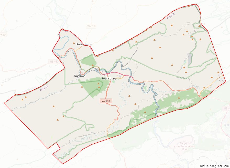
Giles County location map. Where is Giles County?
History
Giles County was established in 1806 from Montgomery, Monroe, Wythe, and Tazewell counties. The county is named for William Branch Giles who was born in Amelia County in 1762. Giles became a lawyer and from there was elected to the United States House of Representatives where he served from 1790 to 1815. He also served in the Virginia General Assembly from 1816 to 1822. In 1827, he was elected Governor. In all, he served his nation and state around a total of forty years.
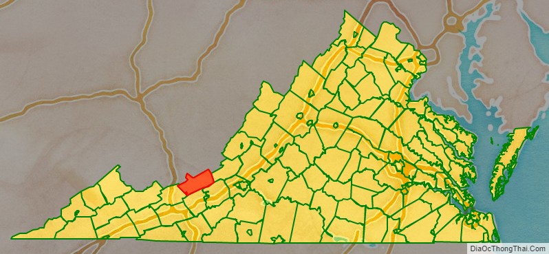
Giles County Road Map
Geography
According to the U.S. Census Bureau, the county has a total area of 360 square miles (930 km), of which 356 square miles (920 km) is land and 4.6 square miles (12 km) (1.3%) is water.
Adjacent counties
- Summers County, West Virginia – north
- Monroe County, West Virginia – north
- Craig County – east
- Montgomery County – southeast
- Pulaski County – south
- Bland County – west
- Mercer County, West Virginia – northwest
National protected area
- Jefferson National Forest (part)
Major highways
- I-73 (future)
- US 219 (Federal Street)
- US 460 (Virginia Avenue)
- SR 42 (Virginia State Route 42) (disconnected; one piece comes in from Bland County to VA 100 while the other goes from U.S. 460 into Craig County)
- SR 61 (Wolf Creek Highway outside of Narrows)
- SR 100 (Virginia State Route 100)
Railroads
- Norfolk Southern (Virginia Division)
Giles County Topographic Map
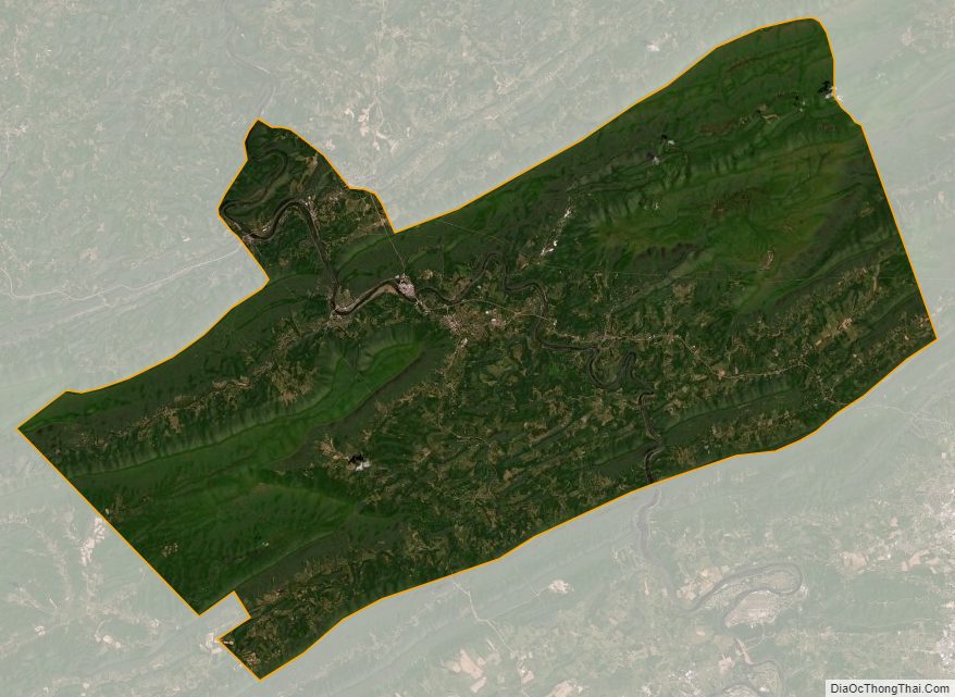
Giles County Satellite Map
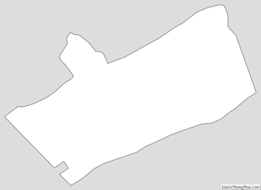
Giles County Outline Map