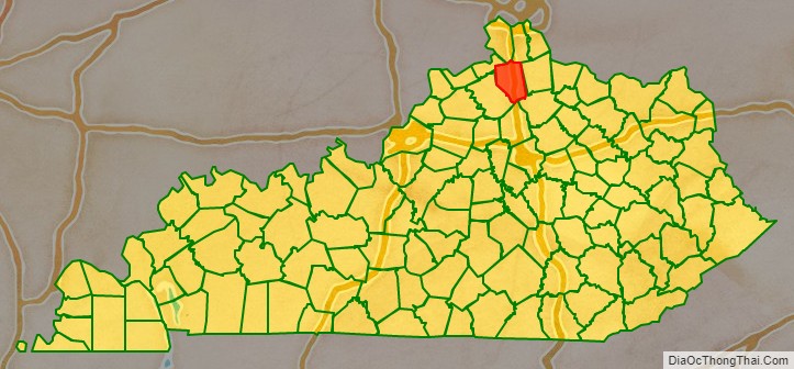
Grant County is a county located in the northern part of the U.S. state of Kentucky. As of the 2020 census, the population was 24,941. Its county seat is Williamstown. The county was formed in 1820 and named for Colonel John Grant, who led a party of settlers in 1779 to establish Grant’s Station, in today’s Bourbon County, Kentucky. Grant County is included in the Cincinnati-Middletown, OH-KY-IN Metropolitan Statistical Area. Grant County residents voted to allow full alcohol sales in the county by a margin of 56% to 44% in a special election on December 22, 2015. In the 19th century, Grant County contained multiple saloons.
The Grant County News, established in 1906 and published in Williamstown, is preserved on microfilm by the University of Kentucky Libraries. The microfilm holdings are listed in a master negative database on the UK Libraries Preservation and Digital Programs website.
| Name: | Grant County |
|---|---|
| FIPS code: | 21-081 |
| State: | Kentucky |
| Founded: | 1820 |
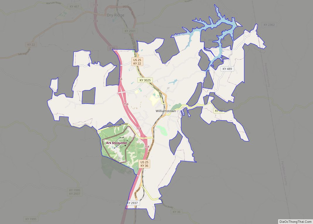
| Seat: | Williamstown |
| Largest city: | Williamstown |
| Total Area: | 261 sq mi (680 km²) |
| Land Area: | 258 sq mi (670 km²) |
| Total Population: | 24,941 |
| Population Density: | 96/sq mi (37/km²) |
| Time zone: | UTC−5 (Eastern) |
| Summer Time Zone (DST): | UTC−4 (EDT) |
| Website: | grantcounty.ky.gov |
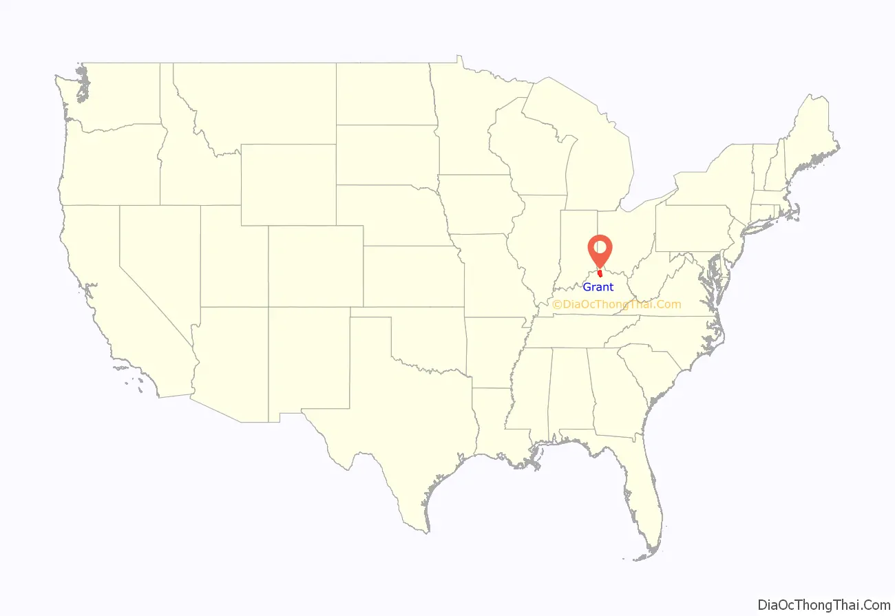
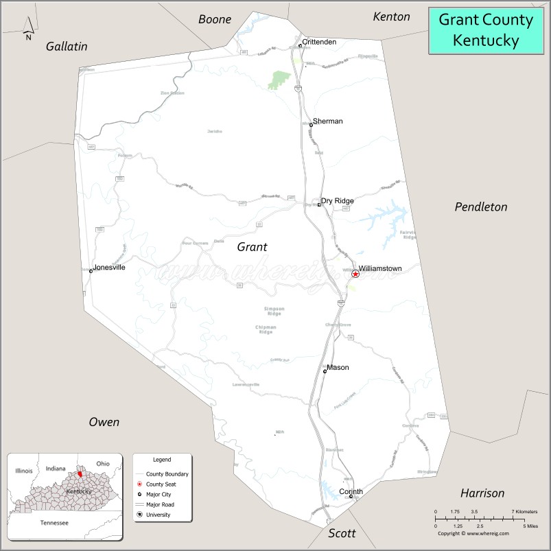
Grant County location map. Where is Grant County?
History
Grant County was established in 1820 from land taken from Pendleton County. The historic courthouse, built in 1939, replaced two earlier structures. A new judicial center was completed in April 2010. In 1975, many residents reported seeing a UFO at Williamstown Lake.
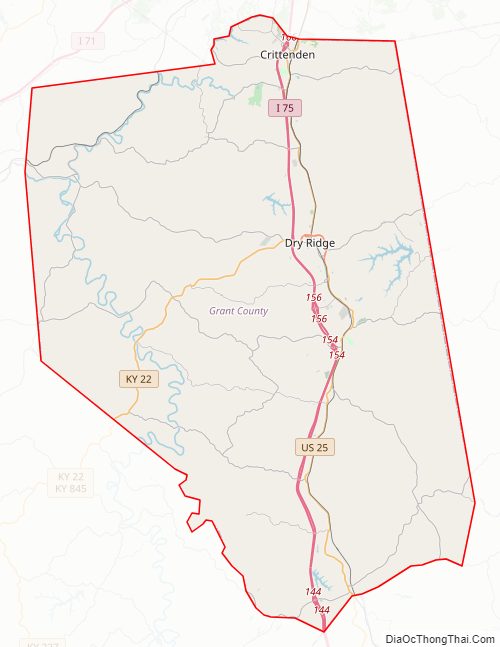
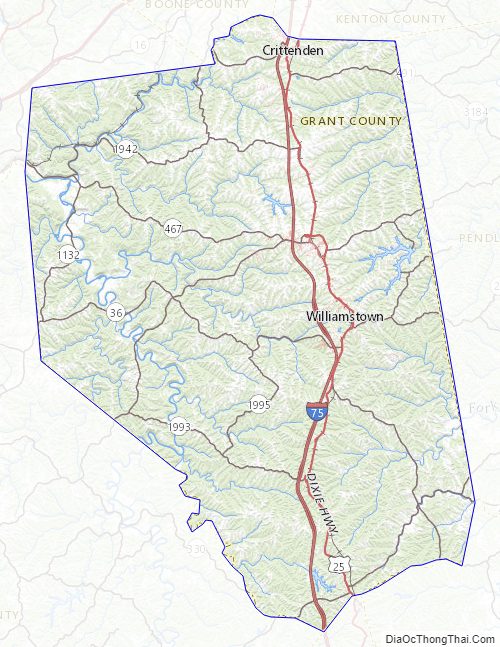
Grant County Road Map
Geography
According to the United States Census Bureau, the county has a total area of 261 square miles (680 km), of which 258 square miles (670 km) is land and 2.8 square miles (7.3 km) (1.1%) is water.
Adjacent counties
- Boone County (north)
- Kenton County (northeast)
- Pendleton County (east)
- Harrison County (southeast)
- Scott County (south)
- Owen County (west)
- Gallatin County (northwest)
Grant County Topographic Map
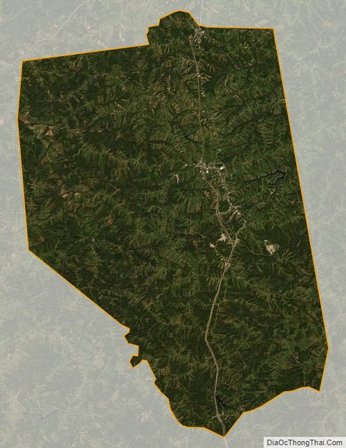
Grant County Satellite Map
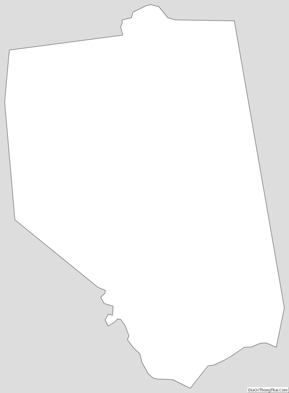
Grant County Outline Map