Corinth is a home rule-class city mostly in Grant County with a small portion of land in Scott County in the U.S. state of Kentucky. The population was 232 as of the 2010 census, up from 181 at the 2000 census.
The Grant County portion of Corinth is part of the Cincinnati-Middletown, OH–KY–IN Metropolitan Statistical Area, while the Scott County portion is part of the Lexington-Fayette Metropolitan Statistical Area.
| Name: | Corinth city |
|---|---|
| LSAD Code: | 25 |
| LSAD Description: | city (suffix) |
| State: | Kentucky |
| County: | Grant County, Scott County |
| Founded: | 1868 |
| Elevation: | 968 ft (295 m) |
| Total Area: | 2.13 sq mi (5.53 km²) |
| Land Area: | 2.12 sq mi (5.48 km²) |
| Water Area: | 0.02 sq mi (0.04 km²) |
| Total Population: | 226 |
| Population Density: | 106.70/sq mi (41.21/km²) |
| ZIP code: | 41010 |
| Area code: | 859 |
| FIPS code: | 2117434 |
| GNISfeature ID: | 0490097 |
| Website: | corinth.ky.gov |
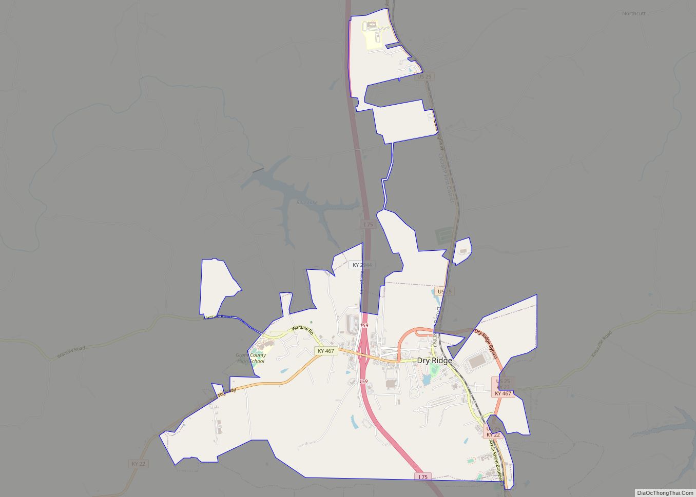
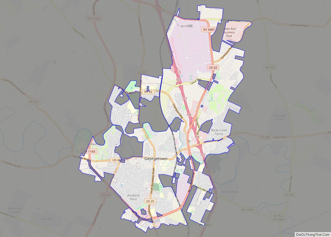
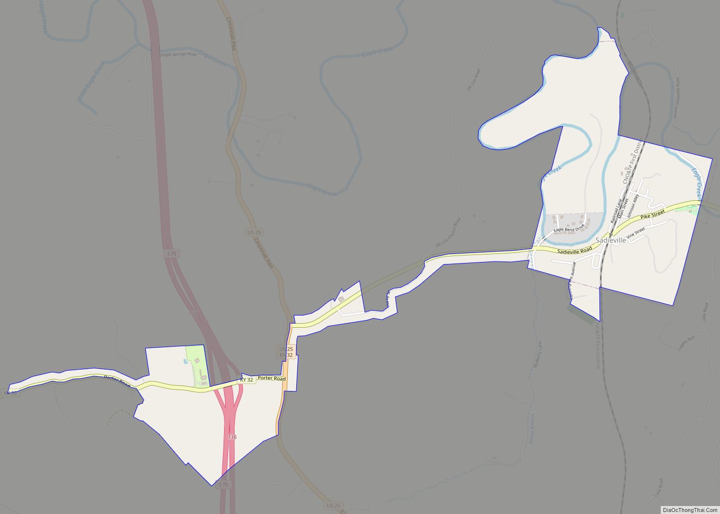
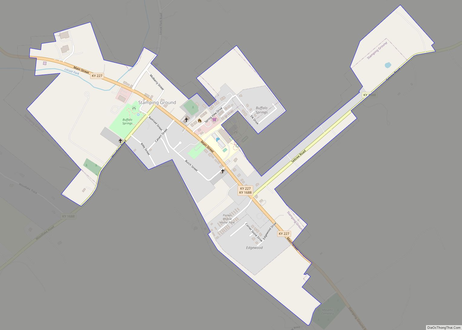
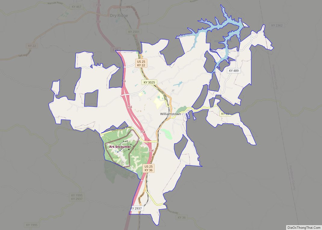
Online Interactive Map
Click on ![]() to view map in "full screen" mode.
to view map in "full screen" mode.
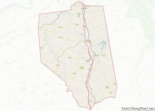
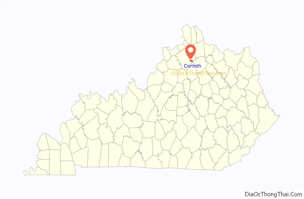
Corinth location map. Where is Corinth city?

History
The Corinth community began in the late 1820s with the founding of Corinth Christian Church, but the post office was not established until 1868. The town most likely got its name from the church. In 1871, the church relocated to a new site, and in 1873-74 and new church was built, replacing the log church. Until 1876, much of Corinth was in Owen County. In 1876, it was transferred to Grant County. In 1878, Corinth was incorporated by the Kentucky State Legislature, which, in the same year, chartered the Corinth Academy. In 1890, the first of four fires occurred. The salvage of the train depot and three residences is credited to a passing train’s boiler water. The fires of 1904 and 1914 were on a similar scale. The Corinth basketball team won the 1930 state and national championships. In 1933, another fire destroyed much of the central business district, but help from other fire departments contained the fire. Much of the destruction was caused by lack of water. Steps to minimize this were taken in 1986 with the creation of the Corinth Water District. In 1995, the city obtained a grant/loan package to establish a water treatment plant in Corinth.
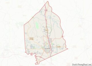
Corinth Road Map

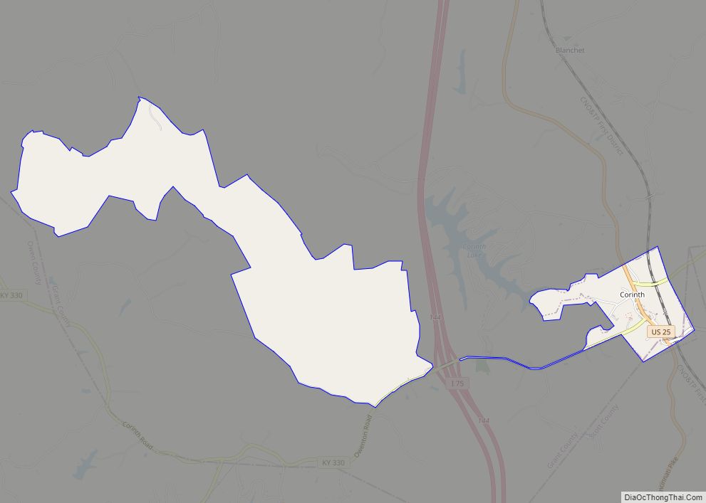
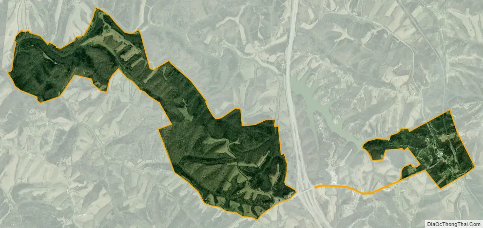
Corinth city Satellite Map
Geography
Corinth is located in southern Grant County at 38°29′46″N 84°33′44″W / 38.49611°N 84.56222°W / 38.49611; -84.56222 (38.496042, -84.562131). U.S. Route 25 passes through the center of town, leading north 11 miles (18 km) to Williamstown, the Grant County seat, and south 22 miles (35 km) to Georgetown, the Scott County seat. Interstate 75 crosses the city limits briefly, 1.5 miles (2.4 km) west of the center, at Exit 144 (Kentucky Route 330). I-75 leads north 48 miles (77 km) to Cincinnati and south 34 miles (55 km) to Lexington. KY 330 leads west 21 miles (34 km) to Owenton and northeast 22 miles (35 km) to Falmouth.
According to the United States Census Bureau, Corinth has a total area of 2.1 square miles (5.5 km), of which 0.02 square miles (0.04 km), or 0.79%, is water.
See also
Map of Kentucky State and its subdivision:- Adair
- Allen
- Anderson
- Ballard
- Barren
- Bath
- Bell
- Boone
- Bourbon
- Boyd
- Boyle
- Bracken
- Breathitt
- Breckinridge
- Bullitt
- Butler
- Caldwell
- Calloway
- Campbell
- Carlisle
- Carroll
- Carter
- Casey
- Christian
- Clark
- Clay
- Clinton
- Crittenden
- Cumberland
- Daviess
- Edmonson
- Elliott
- Estill
- Fayette
- Fleming
- Floyd
- Franklin
- Fulton
- Gallatin
- Garrard
- Grant
- Graves
- Grayson
- Green
- Greenup
- Hancock
- Hardin
- Harlan
- Harrison
- Hart
- Henderson
- Henry
- Hickman
- Hopkins
- Jackson
- Jefferson
- Jessamine
- Johnson
- Kenton
- Knott
- Knox
- Larue
- Laurel
- Lawrence
- Lee
- Leslie
- Letcher
- Lewis
- Lincoln
- Livingston
- Logan
- Lyon
- Madison
- Magoffin
- Marion
- Marshall
- Martin
- Mason
- McCracken
- McCreary
- McLean
- Meade
- Menifee
- Mercer
- Metcalfe
- Monroe
- Montgomery
- Morgan
- Muhlenberg
- Nelson
- Nicholas
- Ohio
- Oldham
- Owen
- Owsley
- Pendleton
- Perry
- Pike
- Powell
- Pulaski
- Robertson
- Rockcastle
- Rowan
- Russell
- Scott
- Shelby
- Simpson
- Spencer
- Taylor
- Todd
- Trigg
- Trimble
- Union
- Warren
- Washington
- Wayne
- Webster
- Whitley
- Wolfe
- Woodford
- Alabama
- Alaska
- Arizona
- Arkansas
- California
- Colorado
- Connecticut
- Delaware
- District of Columbia
- Florida
- Georgia
- Hawaii
- Idaho
- Illinois
- Indiana
- Iowa
- Kansas
- Kentucky
- Louisiana
- Maine
- Maryland
- Massachusetts
- Michigan
- Minnesota
- Mississippi
- Missouri
- Montana
- Nebraska
- Nevada
- New Hampshire
- New Jersey
- New Mexico
- New York
- North Carolina
- North Dakota
- Ohio
- Oklahoma
- Oregon
- Pennsylvania
- Rhode Island
- South Carolina
- South Dakota
- Tennessee
- Texas
- Utah
- Vermont
- Virginia
- Washington
- West Virginia
- Wisconsin
- Wyoming