Grundy County is a county in the U.S. state of Illinois. According to the 2010 census, it has a population of 50,063. Its county seat is Morris.
Grundy County is part of the Chicago-Naperville–Elgin, IL-IN–WI Metropolitan Statistical Area.
In 2010, the center of population of Illinois was in Grundy County, just northeast of the village of Mazon.
Illinois’s state fossil, the unique and bizarre Tully Monster, was first found in Mazon Creek. Grundy County is home to Dresden Generating Station—the first privately financed nuclear power plant built in the United States—and the Morris Operation—the only de facto high-level radioactive waste storage site in the United States.
| Name: | Grundy County |
|---|---|
| FIPS code: | 17-063 |
| State: | Illinois |
| Founded: | February 17, 1841 |
| Named for: | Felix Grundy |
| Seat: | Morris |
| Largest city: | Morris |
| Total Area: | 430 sq mi (1,100 km²) |
| Land Area: | 418 sq mi (1,080 km²) |
| Total Population: | 50,063 |
| Population Density: | 120/sq mi (45/km²) |
| Time zone: | UTC−6 (Central) |
| Summer Time Zone (DST): | UTC−5 (CDT) |
| Website: | www.grundyco.org |
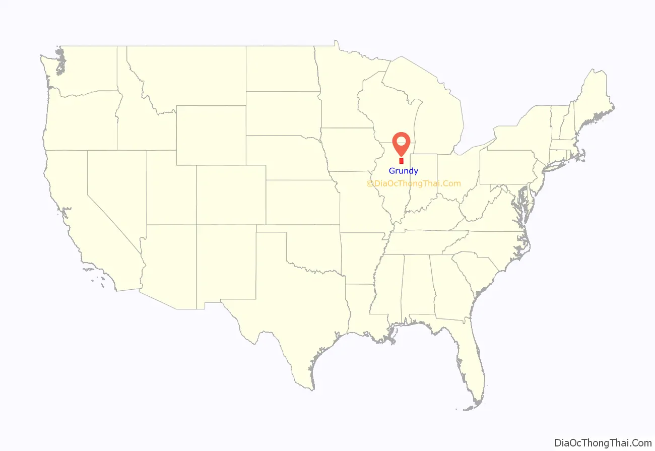
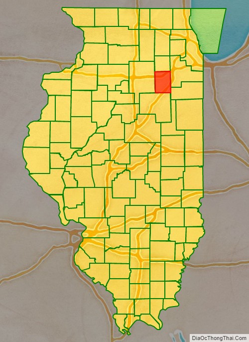
Grundy County location map. Where is Grundy County?
History
Grundy County was established on February 17, 1841. It was formed out of LaSalle County and named after U.S. Attorney General Felix Grundy (1777–1840). The county was well known for its coal mines and attracted miners from Pennsylvania and other regions to work its deposits. The 1883 Diamond Mine Disaster occurred in Grundy County. The disaster took the lives of 69 men and boys who were trapped underground when water broke through into the mine after days of heavy rain and the pumps could not keep up with the rising water. 22 bodies were eventually recovered, the remaining 44 were left in the mine and the mine was sealed. Today a marker stands near where it was believed the majority of victims were entombed.
Grundy County at the time of its creation in 1841
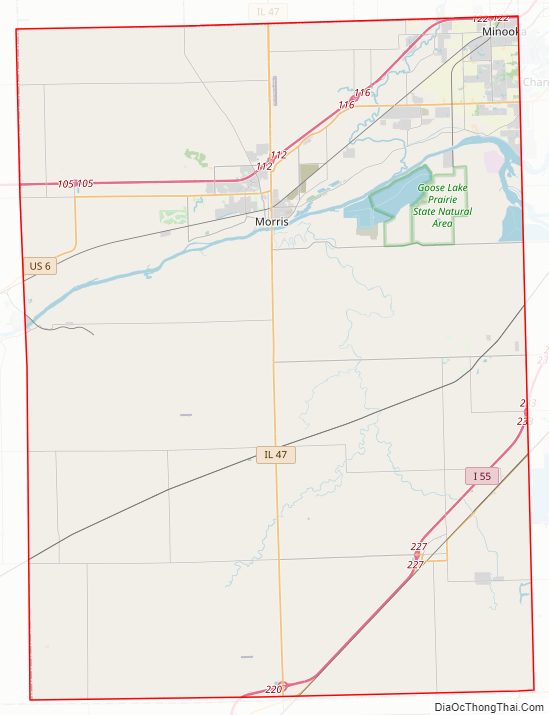
Grundy County Road Map
Geography
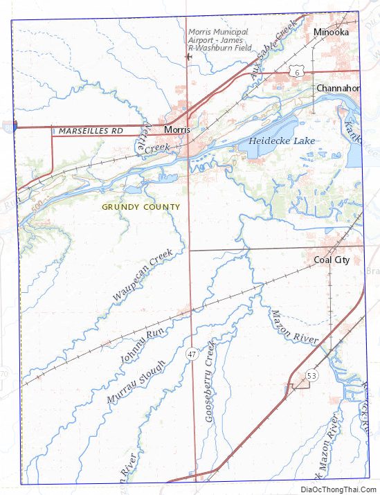
According to the U.S. Census Bureau, the county has a total area of 430 square miles (1,100 km), of which 418 square miles (1,080 km) is land and 12 square miles (31 km) (2.9%) is water.
Climate and weather
In recent years, average temperatures in the county seat of Morris have ranged from a low of 13 °F (−11 °C) in January to a high of 85 °F (29 °C) in July, although a record low of −24 °F (−31 °C) was recorded in January 1985 and a record high of 103 °F (39 °C) was recorded in June 1988. Average monthly precipitation ranged from 1.59 inches (40 mm) in February to 4.16 inches (106 mm) in June.
Major highways
- I-55
- I-80
- US 6
- US 66
- IL 17
- IL 47
- IL 53
- IL 113
Adjacent counties
- Kendall (north)
- Will (east)
- Kankakee (southeast)
- Livingston (south)
- LaSalle (west)
Grundy County Topographic Map
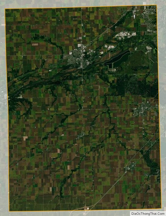
Grundy County Satellite Map
Grundy County Outline Map