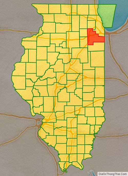
Will County is a county in the northeastern part of the state of Illinois. According to the 2020 census, it had a population of 696,355, an increase of 2.8% from 677,560 in 2010, making it Illinois’s fourth-most populous county. The county seat is Joliet. Will County is one of the five collar counties of the Chicago-Naperville–Elgin, IL-IN–WI Metropolitan Statistical Area. The portion of Will County around Joliet uses area codes 815 and 779, while 630 and 331 are for far northern Will County and 708 is for central and eastern Will County.
| Name: | Will County |
|---|---|
| FIPS code: | 17-197 |
| State: | Illinois |
| Founded: | January 12, 1836 |
| Named for: | Dr. Conrad Will |
| Seat: | Joliet |
| Largest city: | Joliet |
| Total Area: | 849 sq mi (2,200 km²) |
| Land Area: | 837 sq mi (2,170 km²) |
| Total Population: | 696,355 |
| Population Density: | 810/sq mi (310/km²) |
| Time zone: | UTC−6 (Central) |
| Summer Time Zone (DST): | UTC−5 (CDT) |
| Website: | www.willcountyillinois.com |
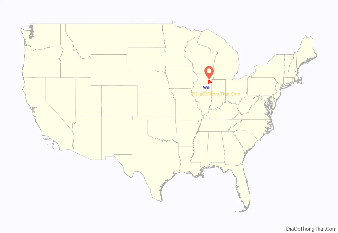
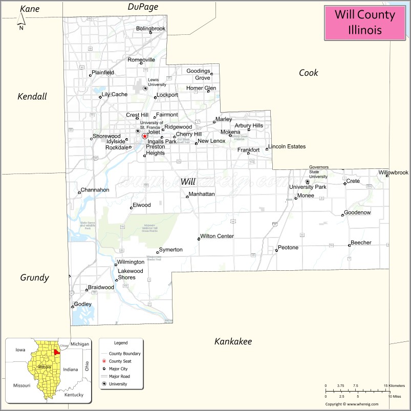
Will County location map. Where is Will County?
History
Will County was formed on January 12, 1836, out of Cook and Iroquois Counties. It was named after Conrad Will, a politician and businessman involved in salt production in southern Illinois. Will was a member of the first Illinois Constitutional Convention and a member of the Illinois legislature until his death in 1835. Besides its present area, the county originally included the part of Kankakee County, Illinois, north of the Kankakee River. It lost that area when Kankakee County was organized in 1852. Since then its boundaries have not changed.
36 locations in Will County are on the National Register of Historic Places.
— 1854 U.S. Gazetteer
Will County from its 1836 creation to 1852
Will County in 1853, reduced to its current borders by the creation of Kankakee County
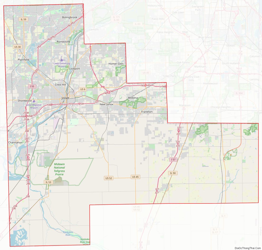
Will County Road Map
Geography
According to the U.S. Census Bureau, the county has an area of 849 square miles (2,200 km), of which 837 square miles (2,170 km) is land and 12 square miles (31 km) (1.5%) is water.
The Kankakee River, Du Page River and the Des Plaines River run through the county and join on its western border. The Illinois and Michigan Canal and the Chicago Sanitary and Ship Canal run through Will County.
A number of areas are preserved as parks (over 20,000 acres (81 km) total) under the Forest Preserve District of Will County. The 17,000 acres (69 km) Midewin National Tallgrass Prairie is a U.S. Forest Service park in the county on the grounds of the former Joliet Arsenal. Other parks include Channahon State Park and the Des Plaines Fish and Wildlife Area.
Climate and weather
In recent years, average temperatures in the county seat of Joliet have ranged from a low of 13 °F (−11 °C) in January to a high of 85 °F (29 °C) in July, although a record low of −26 °F (−32 °C) was recorded in January 1985 and a record high of 104 °F (40 °C) was recorded in June 1988. Average monthly precipitation ranged from 1.58 inches (40 mm) in January to 4.34 inches (110 mm) in July.
Adjacent counties
- Kane County (northwest)
- DuPage County (north)
- Cook County (northeast)
- Lake County, Indiana (east)
- Kankakee County (south)
- Grundy County (southwest)
- Kendall County (west)
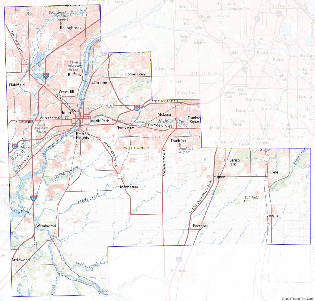
Will County Topographic Map
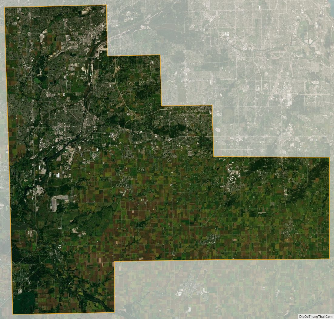
Will County Satellite Map
Will County Outline Map