| Name: | Hardin County |
|---|---|
| FIPS code: | 17-069 |
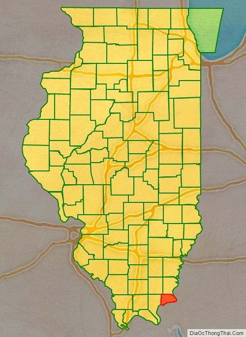
| State: | Illinois |
| Founded: | 1839 |
| Named for: | Hardin County, Kentucky |
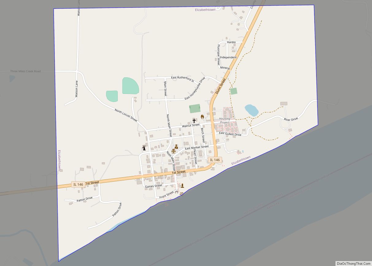
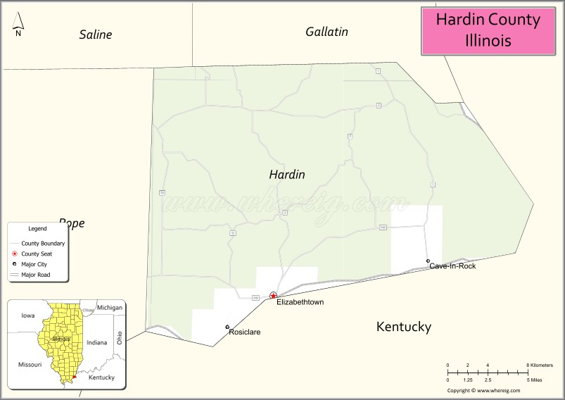
| Seat: | Elizabethtown |
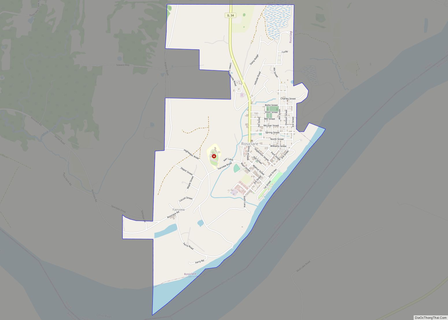
| Largest city: | Rosiclare |
| Total Area: | 182 sq mi (470 km²) |
| Land Area: | 178 sq mi (460 km²) |
| Total Population: | 3,649 |
| Population Density: | 20/sq mi (8/km²) |
| Time zone: | UTC−6 (Central) |
| Summer Time Zone (DST): | UTC−5 (CDT) |
| Website: | www.hardincountyil.org |
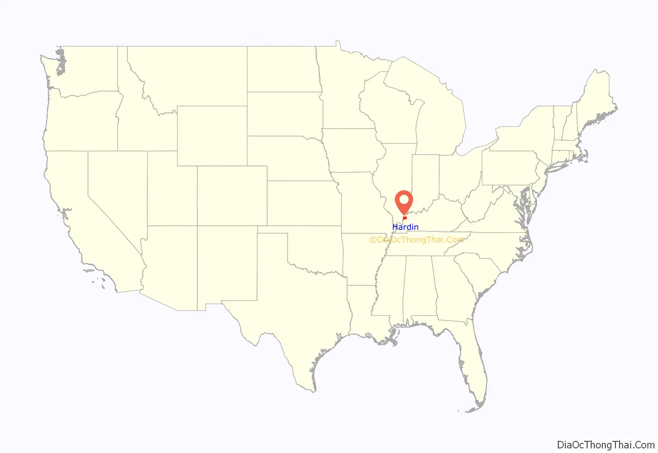
Hardin County location map. Where is Hardin County?
History
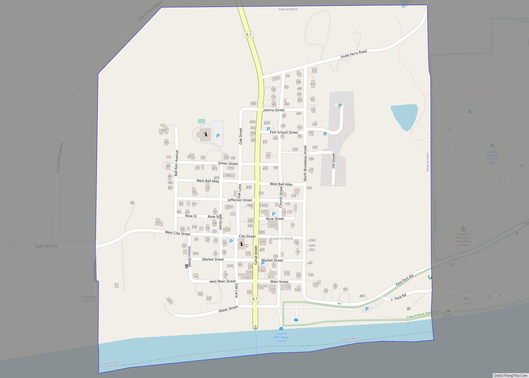
Hardin County was formed in 1839 from Pope County. Additional area was later added from Gallatin County. Hardin County was named for Hardin County, Kentucky, which was named in honor of Colonel John Hardin, an officer in the American Revolutionary War and the Northwest Indian War. Hardin was murdered by Shawnee Indians while he was on a peace mission in 1792 for President George Washington, in what is now Shelby County, Ohio. In the 1790s and early 1800s, the Hardin County area, especially Cave-In-Rock, was notorious as a stronghold used by outlaws, bandits, river pirates, and counterfeiters.
Hardin County between 1839 and 1847
Hardin in 1847, when it was enlarged to its current size
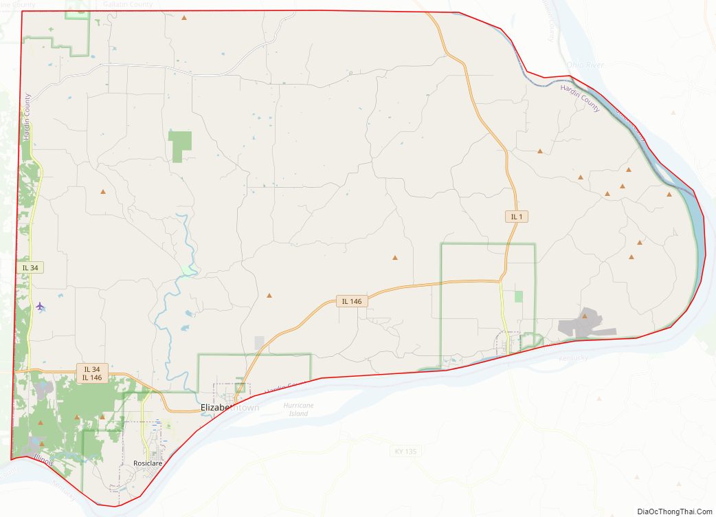
Hardin County Road Map
Geography
According to the U.S. Census Bureau, the county has a total area of 182 square miles (470 km), of which 178 square miles (460 km) is land and 4.1 square miles (11 km) (2.2%) is water. It is the second-smallest county in Illinois by area.
Hicks Dome (37°31′53″N 88°22′06″W / 37.53139°N 88.36833°W / 37.53139; -88.36833) is a geological feature in Hardin County. The Hicks Dome is underlain by ultramafic igneous rocks and igneous diatremes or breccia pipes. Most geologists accept the theory that the older rocks at the center of the uplift are a result of this deep-seated igneous activity. This activity may also have provided the fluorine in the fluorspar deposits in the region. Fluorspar, or calcium fluoride, was mined in Hardin County until the early 1990s.
Climate and weather
In recent years, average temperatures in the county seat of Elizabethtown have ranged from a low of 21 °F (−6 °C) in January to a high of 87 °F (31 °C) in July, although a record low of −22 °F (−30 °C) was recorded in January 1994 and a record high of 104 °F (40 °C) was recorded in August 2007. Average monthly precipitation ranged from 3.22 inches (82 mm) in October to 5.02 inches (128 mm) in May.
Adjacent counties
- Gallatin County – north
- Union County, Kentucky – east
- Crittenden County, Kentucky – south
- Livingston County, Kentucky – southwest
- Pope County – west
- Saline County – northwest
Major highways
- Illinois Route 1
- Illinois Route 34
- Illinois Route 146
National protected area
- Shawnee National Forest (part)
Hardin County Topographic Map

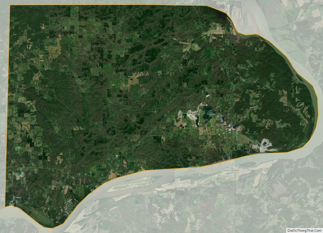
Hardin County Satellite Map
Hardin County Outline Map