Elizabethtown is a village in and the county seat of Hardin County, Illinois, United States, along the Ohio River. The population was 299 at the 2010 census, down from 348 at the 2000 census. It is the least-populous county seat in the state.
| Name: | Elizabethtown village |
|---|---|
| LSAD Code: | 47 |
| LSAD Description: | village (suffix) |
| State: | Illinois |
| County: | Hardin County |
| Elevation: | 367 ft (112 m) |
| Total Area: | 0.71 sq mi (1.84 km²) |
| Land Area: | 0.70 sq mi (1.83 km²) |
| Water Area: | 0.01 sq mi (0.01 km²) |
| Total Population: | 220 |
| Population Density: | 312.06/sq mi (120.41/km²) |
| Area code: | 618 |
| FIPS code: | 1723191 |
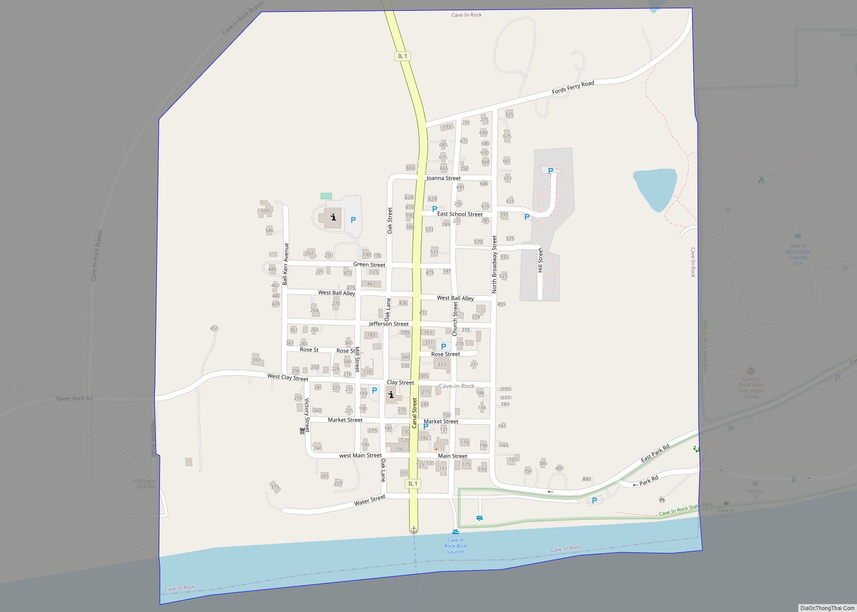
Online Interactive Map
Click on ![]() to view map in "full screen" mode.
to view map in "full screen" mode.
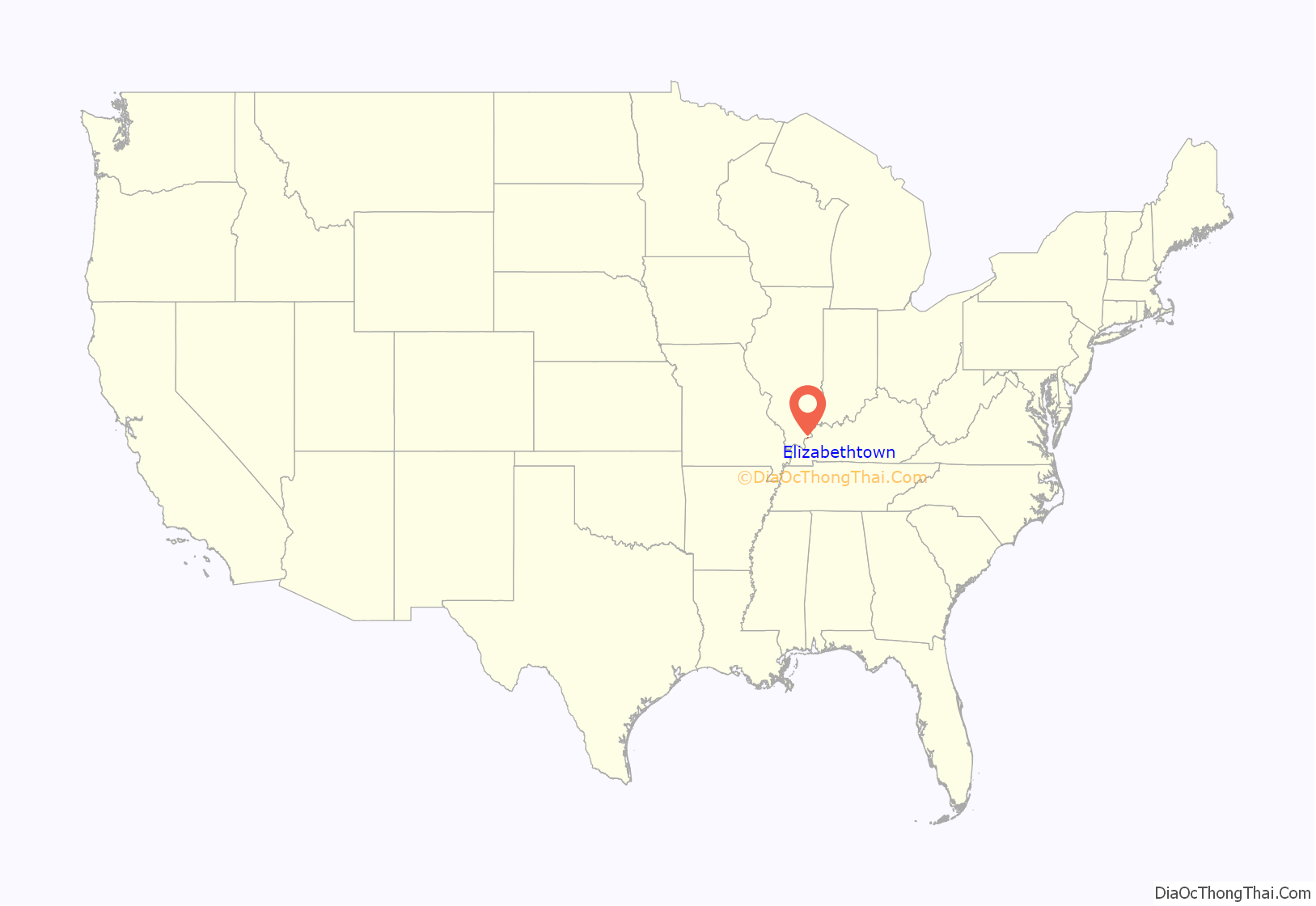
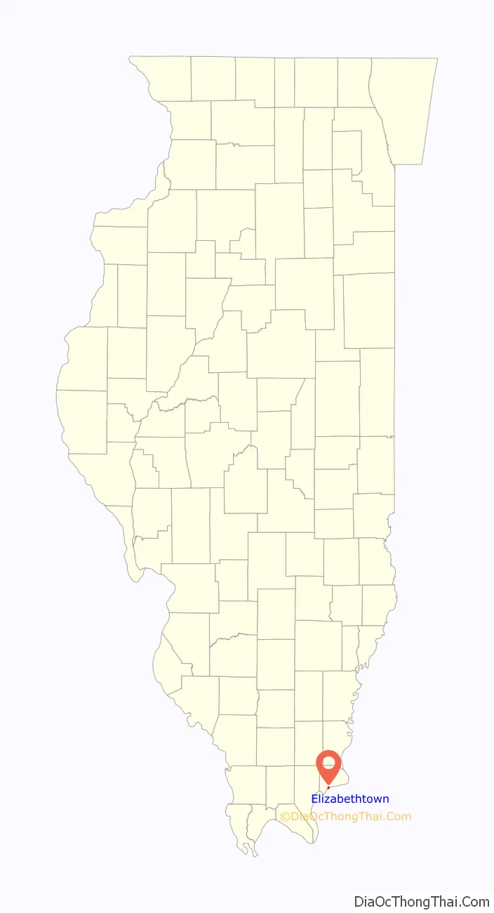
Elizabethtown location map. Where is Elizabethtown village?
History
One of the earliest settlers in the area of the future village of Elizabethtown was James McFarland who arrived around 1809. The village was later founded around the McFarland Tavern built in 1812. The tavern later became the site of the Rose Hotel named after the owner Sarah Rose. Up until the 1960s when it closed as a hotel the Rose Hotel was the oldest continuously run hotel in the state of Illinois and is now a state historic site. Elizabethtown was named after James McFarland’s wife. The First Baptist Church located in Elizabethtown, is the oldest Baptist church congregation in Illinois and the oldest known Protestant church in Illinois, founded in 1806. Elizabethtown is referred to as “Etown” by the local population as the nickname is preserved in the name of the downtown E’town River Restaurant.
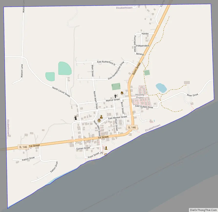
Elizabethtown Road Map
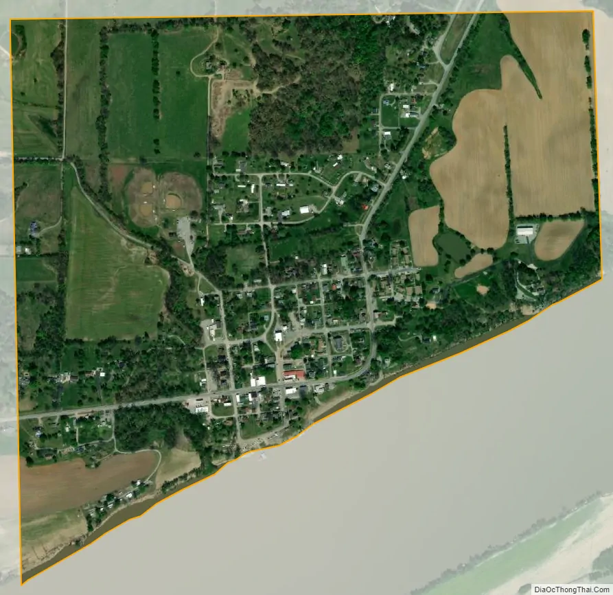
Elizabethtown city Satellite Map
Geography
Elizabethtown is located in southern Hardin County at 37°26′57″N 88°18′13″W / 37.44917°N 88.30361°W / 37.44917; -88.30361 (37.449136, -88.303748). It is bordered to the south by the Ohio River, which forms the state boundary with Kentucky.
Illinois Route 146 passes through the village, leading southwest (downriver) 15 miles (24 km) to Golconda and east 9 miles (14 km) to Illinois Route 1 north of Cave-In-Rock. Rosiclare, the only city in Hardin County, is reached by traveling 2.5 miles (4.0 km) west on IL-146 then 2 miles (3 km) south on IL-34.
According to the 2010 census, Elizabethtown has a total area of 0.715 square miles (1.85 km), of which 0.71 square miles (1.84 km) (or 99.3%) is land and 0.005 square miles (0.01 km) (or 0.7%) is water.
See also
Map of Illinois State and its subdivision:- Adams
- Alexander
- Bond
- Boone
- Brown
- Bureau
- Calhoun
- Carroll
- Cass
- Champaign
- Christian
- Clark
- Clay
- Clinton
- Coles
- Cook
- Crawford
- Cumberland
- De Kalb
- De Witt
- Douglas
- Dupage
- Edgar
- Edwards
- Effingham
- Fayette
- Ford
- Franklin
- Fulton
- Gallatin
- Greene
- Grundy
- Hamilton
- Hancock
- Hardin
- Henderson
- Henry
- Iroquois
- Jackson
- Jasper
- Jefferson
- Jersey
- Jo Daviess
- Johnson
- Kane
- Kankakee
- Kendall
- Knox
- La Salle
- Lake
- Lake Michigan
- Lawrence
- Lee
- Livingston
- Logan
- Macon
- Macoupin
- Madison
- Marion
- Marshall
- Mason
- Massac
- McDonough
- McHenry
- McLean
- Menard
- Mercer
- Monroe
- Montgomery
- Morgan
- Moultrie
- Ogle
- Peoria
- Perry
- Piatt
- Pike
- Pope
- Pulaski
- Putnam
- Randolph
- Richland
- Rock Island
- Saint Clair
- Saline
- Sangamon
- Schuyler
- Scott
- Shelby
- Stark
- Stephenson
- Tazewell
- Union
- Vermilion
- Wabash
- Warren
- Washington
- Wayne
- White
- Whiteside
- Will
- Williamson
- Winnebago
- Woodford
- Alabama
- Alaska
- Arizona
- Arkansas
- California
- Colorado
- Connecticut
- Delaware
- District of Columbia
- Florida
- Georgia
- Hawaii
- Idaho
- Illinois
- Indiana
- Iowa
- Kansas
- Kentucky
- Louisiana
- Maine
- Maryland
- Massachusetts
- Michigan
- Minnesota
- Mississippi
- Missouri
- Montana
- Nebraska
- Nevada
- New Hampshire
- New Jersey
- New Mexico
- New York
- North Carolina
- North Dakota
- Ohio
- Oklahoma
- Oregon
- Pennsylvania
- Rhode Island
- South Carolina
- South Dakota
- Tennessee
- Texas
- Utah
- Vermont
- Virginia
- Washington
- West Virginia
- Wisconsin
- Wyoming