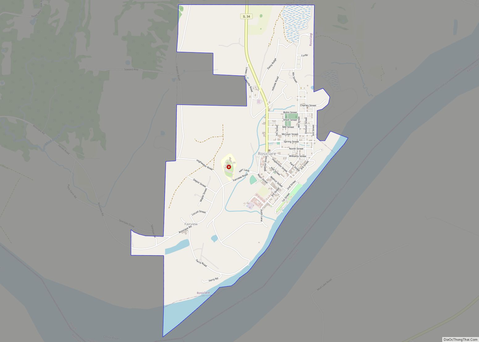
Rosiclare is a city in Hardin County, Illinois, along the Ohio River. The population was 1,160 at the 2010 census, down from 1,213 at the 2000 census.
| Name: | Rosiclare city |
|---|---|
| LSAD Code: | 25 |
| LSAD Description: | city (suffix) |
| State: | Illinois |
| County: | Hardin County |
| Elevation: | 367 ft (112 m) |
| Total Area: | 2.12 sq mi (5.48 km²) |
| Land Area: | 1.94 sq mi (5.02 km²) |
| Water Area: | 0.18 sq mi (0.46 km²) |
| Total Population: | 980 |
| Population Density: | 505.42/sq mi (195.18/km²) |
| Area code: | 618 |
| FIPS code: | 1765897 |
| GNISfeature ID: | 2396436 |
| Website: | www.cityofrosiclare.com |
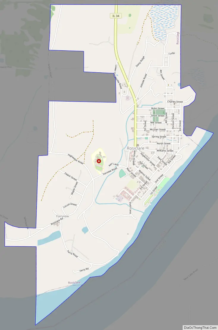
Online Interactive Map
Click on ![]() to view map in "full screen" mode.
to view map in "full screen" mode.
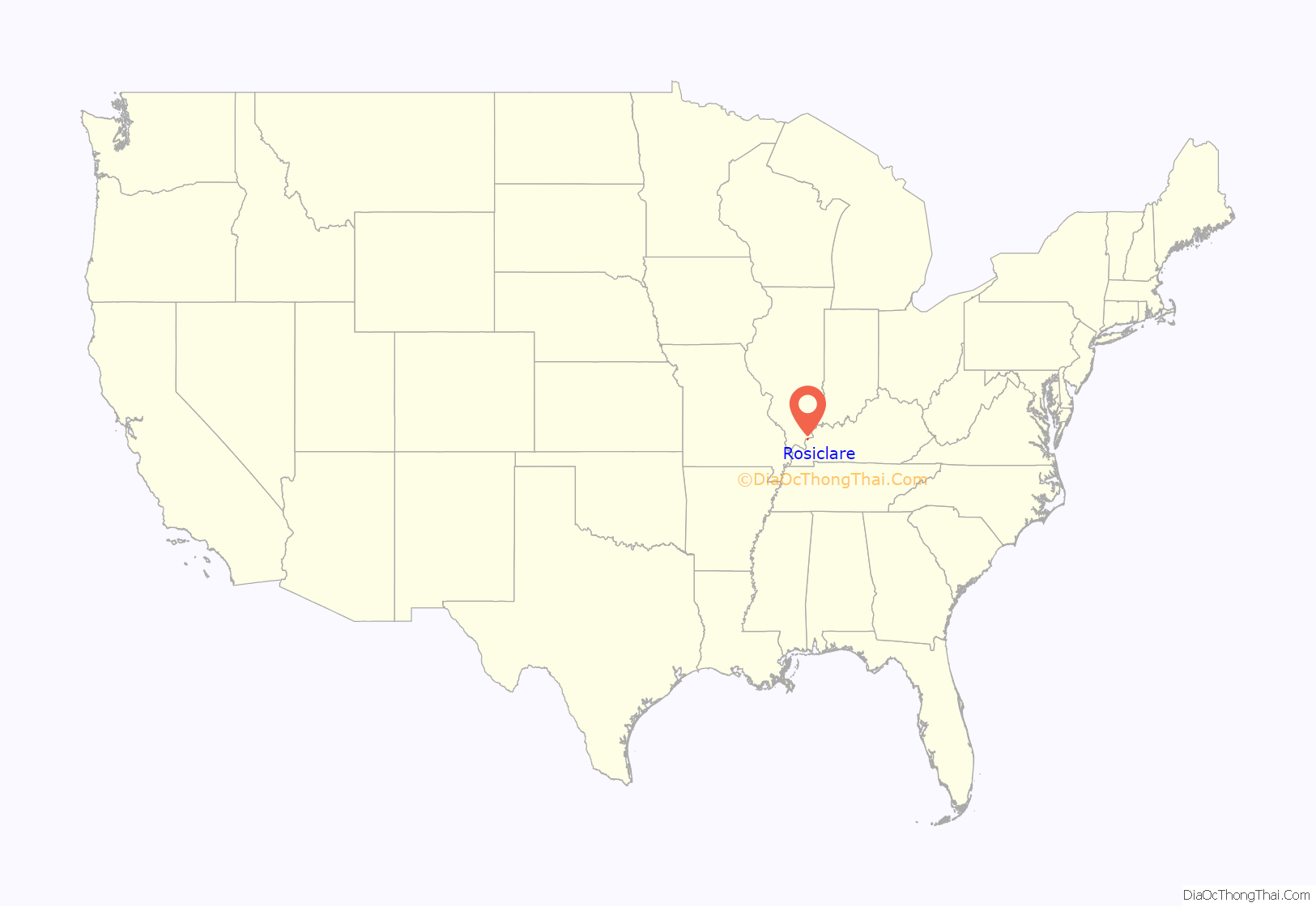
Rosiclare location map. Where is Rosiclare city?
History
Some of the earliest settlers of the Rosicare area were outlaws mainly counterfeiters from the Sturdivant Gang in the late 1810s-early 1820s. Rosiclare used to be the fluorite capital of the United States. Andrew Jackson, in 1835, once owned a fluorspar mine in Rosiclare. Wholesale mining of fluorspar first began in Rosiclare in 1842. Mining ceased when it became cheaper to import fluorite from China. The Lead and Fluorspar Mining Company continued to process ore from mines in Hardin County but closed due to foreign competition in 1996.
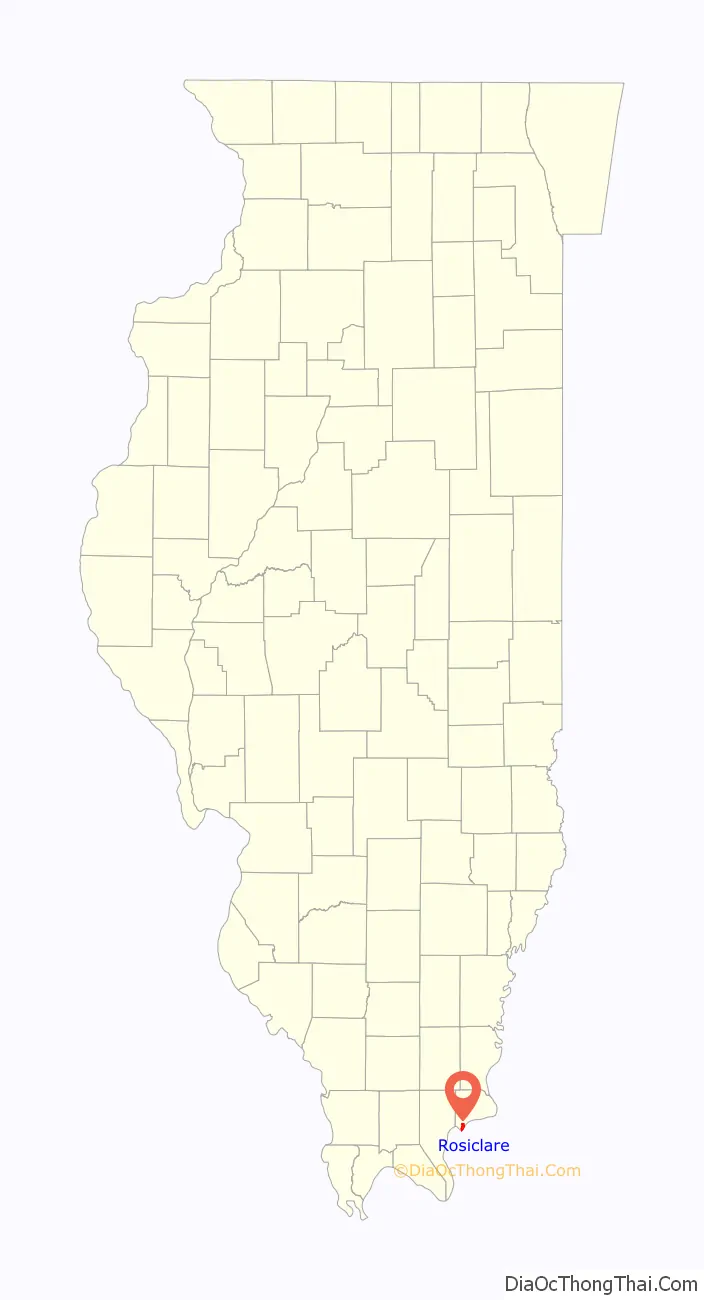
Rosiclare Road Map
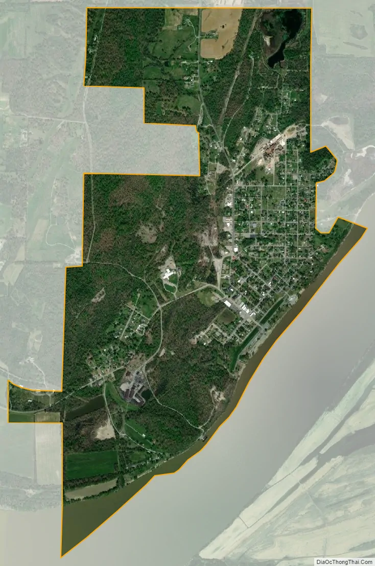
Rosiclare city Satellite Map
Geography
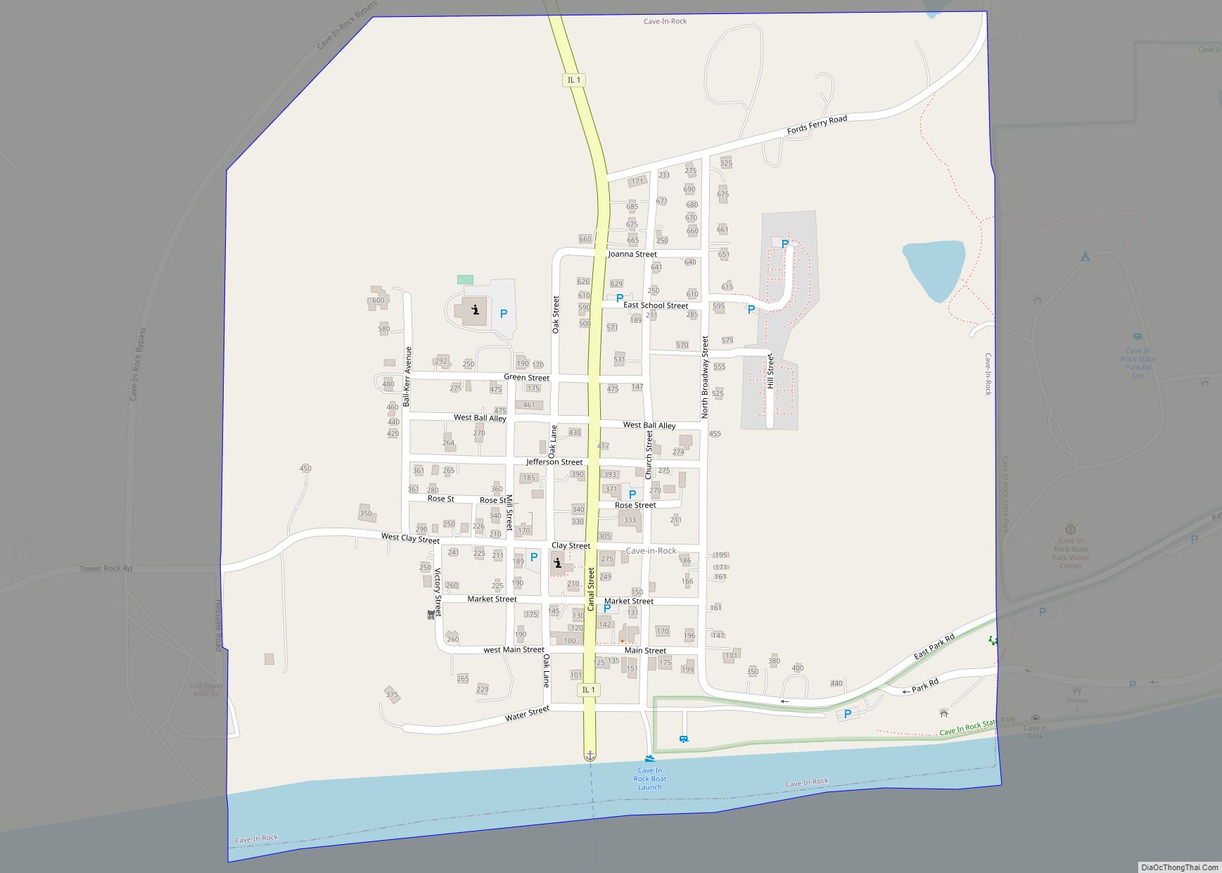
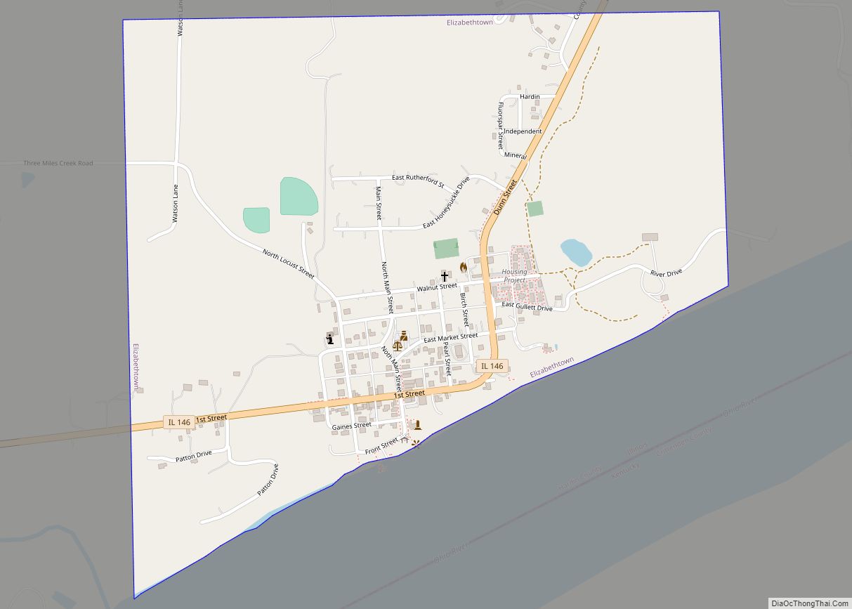
Rosiclare is located in southwestern Hardin County at 37°25′30″N 88°20′45″W / 37.42500°N 88.34583°W / 37.42500; -88.34583 (37.424869, -88.345810). It is bordered to the southeast by the Ohio River, which forms the state boundary with Kentucky. Illinois Route 34 terminates in Rosiclare at the river and leads north 30 miles (48 km) to Harrisburg. The next Illinois community upriver (northeast) is Elizabethtown, 4.5 miles (7.2 km) via IL-34 and IL-146 or 2.5 miles (4.0 km) by river, while the next one downstream (southwest) is Golconda, 15 miles (24 km) via IL-146 or 11 miles (18 km) by river.
According to the 2010 census, Rosiclare has a total area of 2.121 square miles (5.49 km), of which 1.94 square miles (5.02 km) (or 91.47%) is land and 0.181 square miles (0.47 km) (or 8.53%) is water.
Climate
See also
Map of Illinois State and its subdivision:- Adams
- Alexander
- Bond
- Boone
- Brown
- Bureau
- Calhoun
- Carroll
- Cass
- Champaign
- Christian
- Clark
- Clay
- Clinton
- Coles
- Cook
- Crawford
- Cumberland
- De Kalb
- De Witt
- Douglas
- Dupage
- Edgar
- Edwards
- Effingham
- Fayette
- Ford
- Franklin
- Fulton
- Gallatin
- Greene
- Grundy
- Hamilton
- Hancock
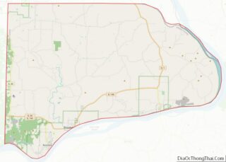
- Hardin
- Henderson
- Henry
- Iroquois
- Jackson
- Jasper
- Jefferson
- Jersey
- Jo Daviess
- Johnson
- Kane
- Kankakee
- Kendall
- Knox
- La Salle
- Lake
- Lake Michigan
- Lawrence
- Lee
- Livingston
- Logan
- Macon
- Macoupin
- Madison
- Marion
- Marshall
- Mason
- Massac
- McDonough
- McHenry
- McLean
- Menard
- Mercer
- Monroe
- Montgomery
- Morgan
- Moultrie
- Ogle
- Peoria
- Perry
- Piatt
- Pike
- Pope
- Pulaski
- Putnam
- Randolph
- Richland
- Rock Island
- Saint Clair
- Saline
- Sangamon
- Schuyler
- Scott
- Shelby
- Stark
- Stephenson
- Tazewell
- Union
- Vermilion
- Wabash
- Warren
- Washington
- Wayne
- White
- Whiteside
- Will
- Williamson
- Winnebago
- Woodford
- Alabama
- Alaska
- Arizona
- Arkansas
- California
- Colorado
- Connecticut
- Delaware
- District of Columbia
- Florida
- Georgia
- Hawaii
- Idaho
- Illinois
- Indiana
- Iowa
- Kansas
- Kentucky
- Louisiana
- Maine
- Maryland
- Massachusetts
- Michigan
- Minnesota
- Mississippi
- Missouri
- Montana
- Nebraska
- Nevada
- New Hampshire
- New Jersey
- New Mexico
- New York
- North Carolina
- North Dakota
- Ohio
- Oklahoma
- Oregon
- Pennsylvania
- Rhode Island
- South Carolina
- South Dakota
- Tennessee
- Texas
- Utah
- Vermont
- Virginia
- Washington
- West Virginia
- Wisconsin
- Wyoming