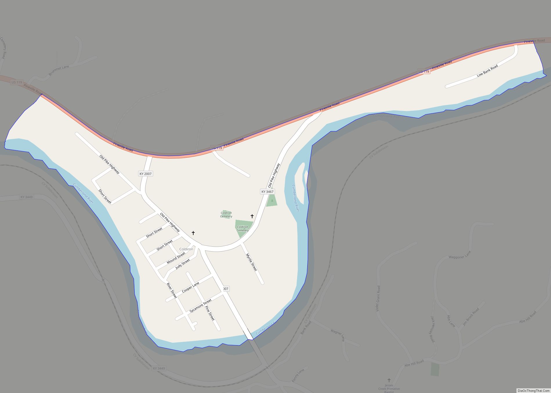
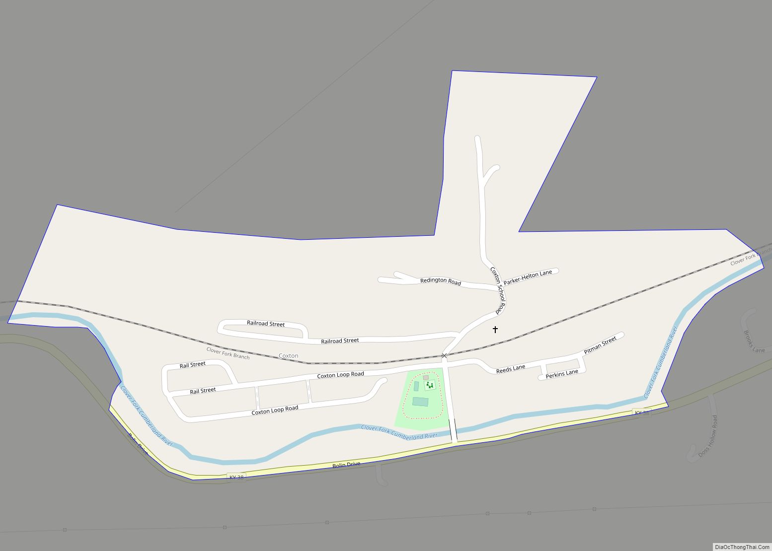
Harlan County is a county located in southeastern Kentucky. As of the 2020 census, the population was 26,831. Its county seat is Harlan. It is classified as a moist county—a county in which alcohol sales are prohibited (a dry county), but containing a “wet” city, in this case Cumberland, where package alcohol sales are allowed. In the city of Harlan, restaurants seating 100+ may serve alcoholic beverages.
Harlan County is well known in folk and country music, having produced many prominent musicians. During the 20th century, it was often a center of labor strife between coal mine owners and union workers, especially in the Harlan County War of the 1930s. The coal mining industry began to decline in the 1950s. The loss of jobs resulted in a steadily declining population and depressed economy. Harlan became one of the poorest counties in the United States.
Kentucky’s highest natural point, Black Mountain (4,145 feet or 1,263 metres), is in Harlan County.
| Name: | Harlan County |
|---|---|
| FIPS code: | 21-095 |
| State: | Kentucky |
| Founded: | 1819 |
| Named for: | Silas Harlan |
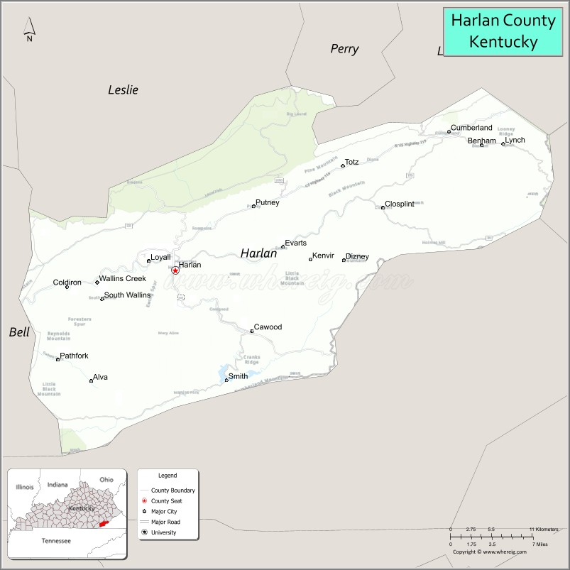
| Seat: | Harlan |
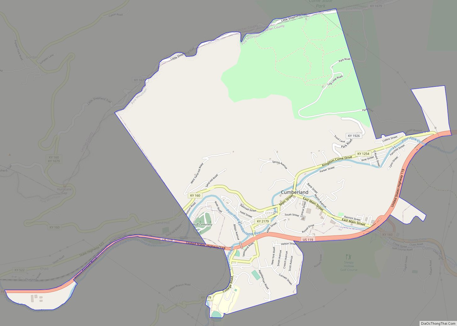
| Largest city: | Cumberland |
| Total Area: | 468 sq mi (1,210 km²) |
| Land Area: | 466 sq mi (1,210 km²) |
| Total Population: | 26,831 |
| Population Density: | 57/sq mi (22/km²) |
| Time zone: | UTC−5 (Eastern) |
| Summer Time Zone (DST): | UTC−4 (EDT) |
| Website: | judge-executive.harlanonline.net |
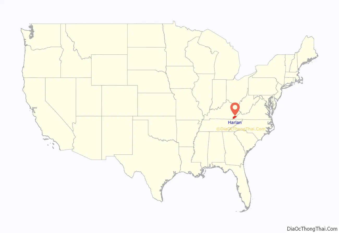
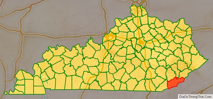
Harlan County location map. Where is Harlan County?
History
Eastern Kentucky is believed to have supported a large Archaic Native American population in prehistoric times, and has sites of other cliff dwellings. These sites were used by successive cultures as residences and at times for burials.
In 1923, an Indian Cliff Dwelling was discovered near Bledsoe, Kentucky. Built in a south-facing cliff, it was near a stream. While archeology was not yet well-developed as an academic discipline, several professors from the University of Kentucky came to the site to excavate it and try to assess the finds. They included “Dr. William D. Funkhouser, a zoologist; Dr. Arthur McQuiston Miller, a geologist; and Victor K. Dodge (called Major Dodge in the reports), all members of a group of scholars interested in early Native American rockshelters.” They arrived soon after the discovery and “took charge of a controlled excavation of the site.” They helped found the first department of anthropology and archaeology at the university, gaining departmental status in 1926.
Historical tribes in this area included the Cherokee and Shawnee.
Before the American Revolutionary War, European Americans considered the area presently bounded by Kentucky state lines to be part of the Virginia colony. In 1776, it was established as Kentucky County by the Virginia colonial legislature, before the British colonies declared independence in the American Revolutionary War. In 1780, the Virginia state legislature divided Kentucky County into three counties: Fayette, Jefferson, and Lincoln.
In 1791 the previous Kentucky County was incorporated into the new nation as a separate state, Kentucky. This change became official on June 1, 1792. In 1799, part of Lincoln County was divided to create Knox County.
Harlan County was formed in 1819 from a part of Knox County. It is named after Silas Harlan. With the help of his uncle Jacob and his brother James, Harlan built a log stockade near Danville, which was known as “Harlan’s Station”. He had journeyed to Kentucky as a young man with James Harrod in 1774, serving as a scout and hunter. He reached the rank of Major in the Continental Army.
Silas Harlan served under George Rogers Clark in the Illinois campaign of 1778–79 against the British; he commanded a company in John Bowman’s raid on Old Chillicothe in 1779, and assisted Clark in establishing Fort Jefferson at the mouth of the Ohio River in 1780. Two years later, in 1782, at the Battle of Blue Licks, he died leading the advance party.
His fiance at the time of his death, Sarah Caldwell, married his brother James Harlan. They were grandparents of John Marshall Harlan, who became an attorney and a U.S. Supreme Court Justice.
Due to a growing regional population the county was reduced in size when Letcher County was formed in 1842, using a part of its territory. It was further reduced when Bell County was formed on August 1, 1867, from parts of it and Knox County. Finally in 1878, its northwestern part was partitioned to form Leslie County and its final boundaries were established.
Coal was a major resource in the county and, as the nation developed industry, the region’s coal was exploited in the coal mining industry. Given the harsh conditions of mining, labor attempted to organize to gain better working conditions and pay, beginning in the early 20th century. What was called the Harlan County War in the 1930s consisted of violent confrontations among strikers, strikebreakers, mine company security forces, and law enforcement. These events resulted in the county being called “Bloody Harlan.” After the Battle of Evarts, May 5, 1931, Kentucky governor Flem D. Sampson called in the National Guard to restore order.
Ballads sung on the picket line at the Brookside mine in Harlan County were captured on film by documentarian John Gaventa. The county was the subject of the documentary film Harlan County, USA (1976), directed by Barbara Kopple. It documented organizing during a second major period of labor unrest in the 1970s, particularly around the Brookside Strike.
—”Which Side Are You On?”
by Florence Patton Reece
In 1924, Conda Uless (Ulysses) “Condy” Dabney was convicted in the county of murdering a person who was later found alive.
From the late eighteenth through the mid-nineteenth century, Harlan County and nearby counties were settled by numerous persons of multiracial descent, with African, European and sometimes American Indian ancestors. Many such families were descended from free people of color in colonial Virginia, who formed families of free white women and free, indentured or enslaved African and Black men. Because the mothers were free, their mixed-race children were born free.
Descendants of such free people of color, some of whose members have been called Melungeon, have documented the racial heritage of Harlan’s early settlers through 19th-century photographs, DNA analysis such as the Melungeon DNA Project, and historic records.
In 2007, the Ridgetop Shawnee Tribe of Indians formed as a non-profit organization to work on improving the lives of multiracial families and preserving Native American heritage, structures and artifacts in the area. It established the Kentucky Native American Data Bank, which has the names of 1,000 people of documented Native American descent related to this region; it is accessible for free on the Rootsweb Internet site. Now known as the Ridgetop Shawnee, they have become the heritage arm of Pine Mountain Indian Community, LLC, which since 2013 has taken the lead in working on economic development in the region.
In 2019, the county was the site of the 2019 Harlan County coal miners protest, one in a long history of coal mining. Coal miners demanded back payment from a coal company that fired them shortly after declaring bankruptcy. They occupied a railroad track and prevented a coal train from leaving the county for almost two months.
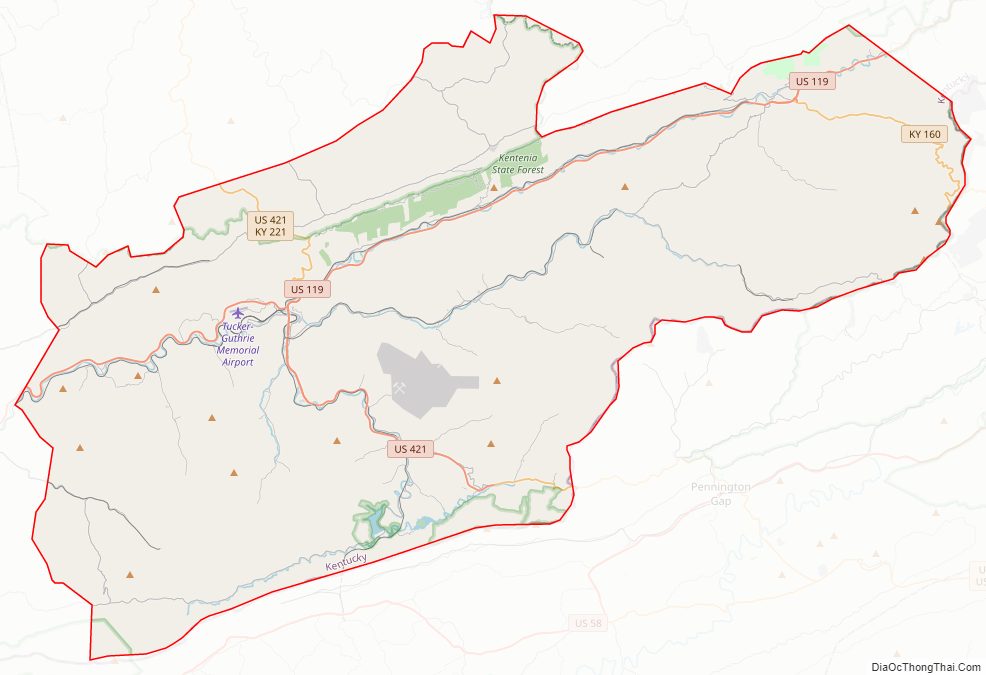
Harlan County Road Map
Geography
According to the United States Census Bureau, the county has a total area of 468 square miles (1,210 km), of which 466 square miles (1,210 km) is land and 2.3 square miles (6.0 km) (0.5%) is water.
Features
The headwaters of the Cumberland River are located in Harlan County: Poor Fork (extending from the city of Harlan east past the city of Cumberland and into Letcher County), Clover Fork extending East from above Evarts, and Martins Fork (extending through the city of Harlan west). The confluence is located in Baxter.
Black Mountain, located east of Lynch, is Kentucky’s highest point, with an elevation of 4,145 feet (1,263 m) above sea level.
Major highways
- U.S. Highway 421
- U.S. Highway 119
- Kentucky Route 38
- Kentucky Route 160
Adjacent counties
- Perry County (north)
- Letcher County (northeast)
- Wise County, Virginia (east)
- Lee County, Virginia (southeast)
- Bell County (southwest)
- Leslie County (northwest)
National protected areas
- Cumberland Gap National Historical Park (part)
- Blanton Forest
Harlan County Topographic Map
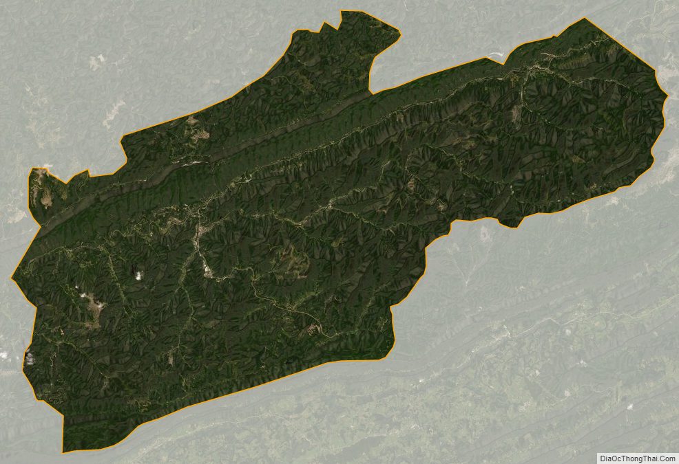
Harlan County Satellite Map
Harlan County Outline Map