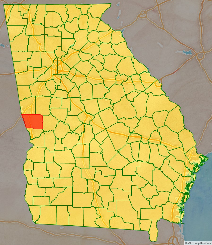
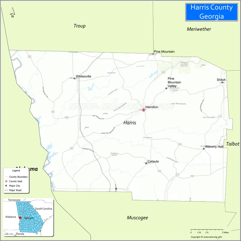
Harris County is a county located in the west-central portion of the U.S. state of Georgia; its western border with the state of Alabama is formed by the Chattahoochee River. As of the 2020 census, the population was 34,668. The county seat is Hamilton. The largest city in the county is Pine Mountain, a resort town that is home to the Franklin D. Roosevelt State Park (the largest state park in Georgia). Harris County was created on December 14, 1827, and named for Charles Harris, a Georgia judge and attorney.
Harris County is part of the Columbus, GA-AL metropolitan area and has become a popular suburban and exurban destination of residence for families relocating from Columbus. Because of this, Harris has become the sixth-wealthiest county in Georgia in terms of per capita income and the wealthiest in the state outside of Metro Atlanta.
| Name: | Harris County |
|---|---|
| FIPS code: | 13-145 |
| State: | Georgia |
| Founded: | 1827 |
| Named for: | Charles Harris |
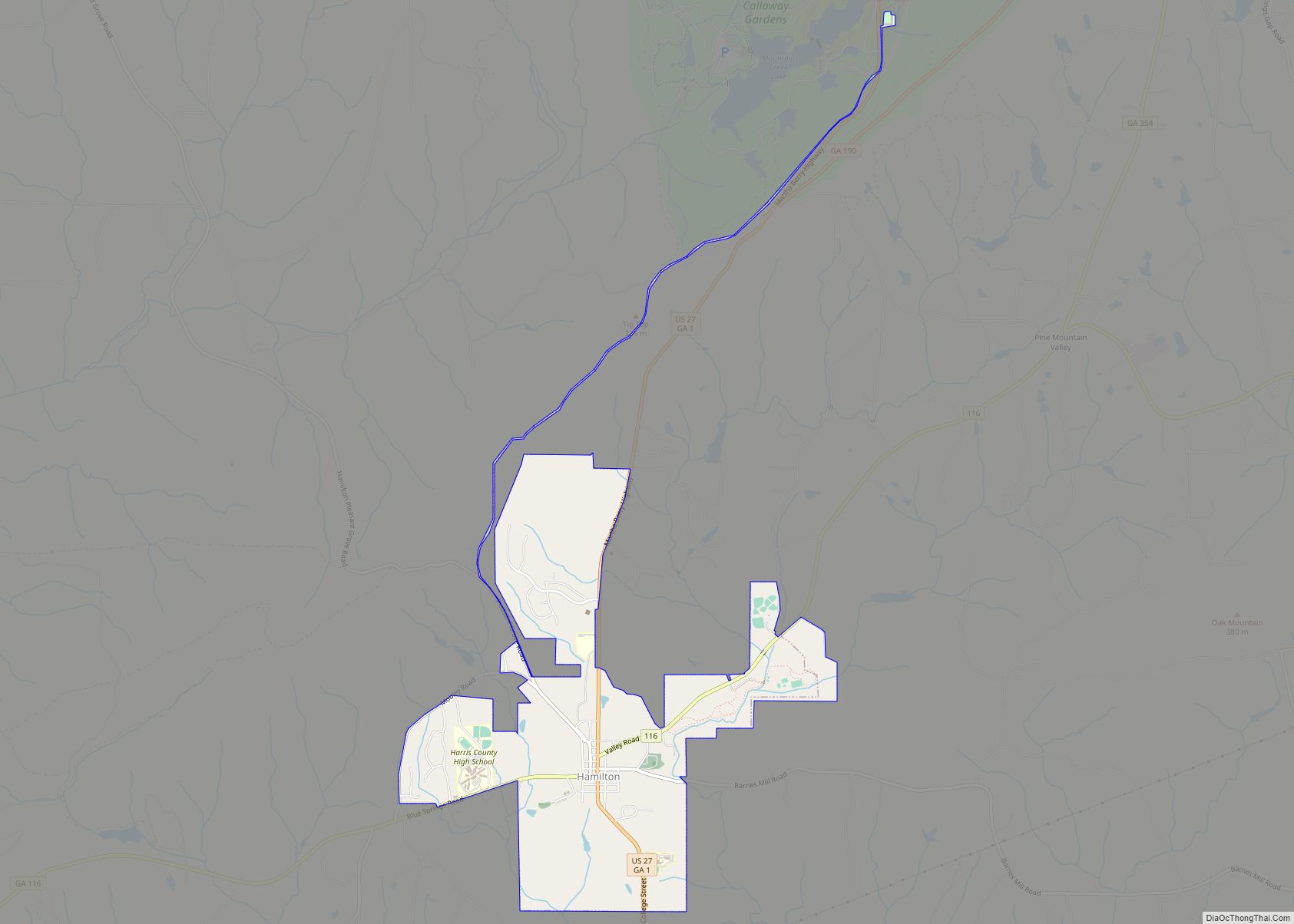
| Seat: | Hamilton |
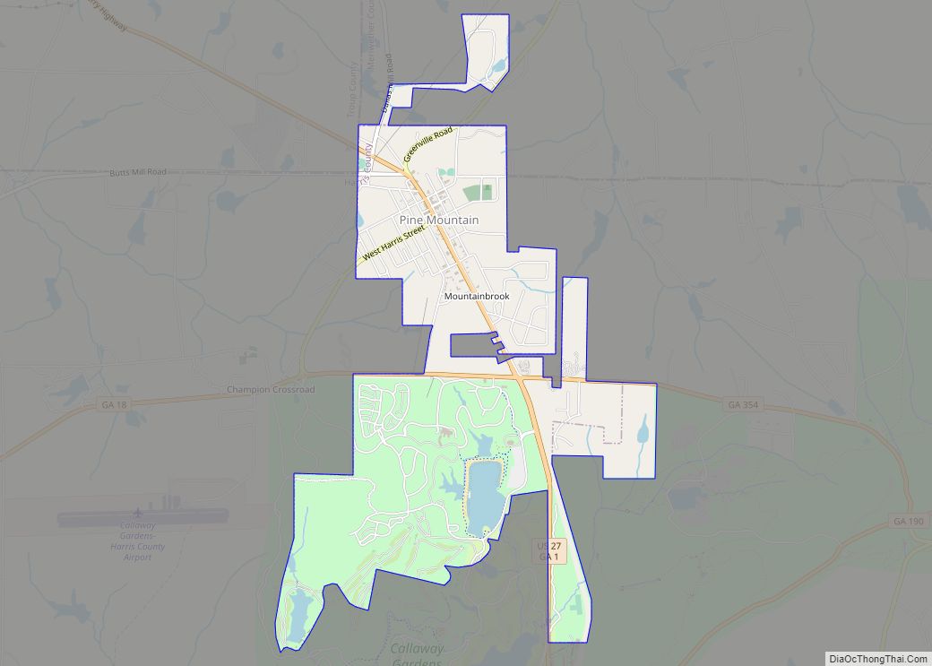
| Largest city: | Pine Mountain |
| Total Area: | 473 sq mi (1,230 km²) |
| Land Area: | 464 sq mi (1,200 km²) |
| Total Population: | 34,668 |
| Population Density: | 75/sq mi (29/km²) |
| Time zone: | UTC−5 (Eastern) |
| Summer Time Zone (DST): | UTC−4 (EDT) |
| Website: | www.harriscountyga.gov |
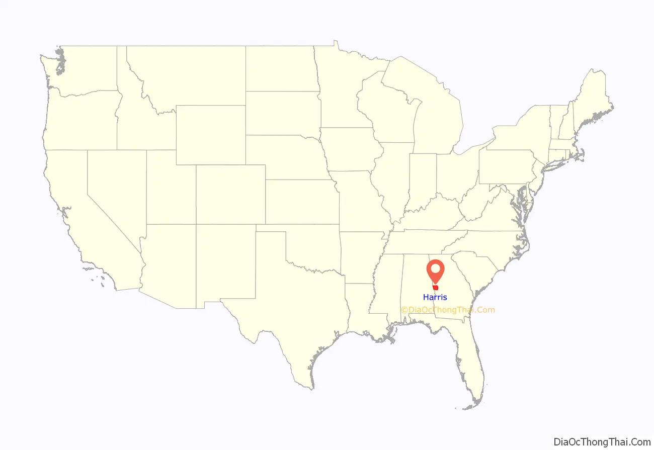
Harris County location map. Where is Harris County?
History
The county was settled by European Americans largely after the federal government had removed the indigenous Creek people (Muscogee) in the 1830s, under treaties by which they ceded most of their homelands to the United States. They were relocated to Indian Territory west of the Mississippi River.
In the antebellum era, parts of the county were developed for cotton plantations, the premier commodity crop. Planters acquired numerous enslaved African Americans as laborers from the Upper South through the domestic slave trade.
The County Courthouse was designed by Edward Columbus Hosford of Georgia and completed in 1906.
Moonshiners were active in the mountain areas of the county in the late 19th and early 20th centuries. Both whites and blacks took part in this, and were common drinking patrons.
Lynchings
On January 22, 1912, a black woman and three black men were lynched in Hamilton, the county seat, for the alleged murder of young local white landowner Norman Hadley. He was described by journalist Karen Branan in her 2016 book about these events as a white, “near penniless plowboy-playboy” and “notorious predator of black women.”
Of this group, Dusky Crutchfield was the first woman lynched in Georgia. The lynching case attracted attention of national northern newspapers. Also murdered by the lynch mob were Eugene Harrington, Burrell Hardaway, and Johnie Moore. (Note: There was confusion about the names of victims at the time, and variations in spelling have been published.)
The four had been taken in for questioning about Hadley’s murder by Sheriff Marion Madison “Buddie” Hadley, but never arrested. Lynched as scapegoats by a white mob of 100 men, they were later shown to have been utterly innocent. As an example of the complex relationships in the town and county, Johnie Moore was a mixed-race cousin of the sheriff; and Norman Hadley was the sheriff’s nephew.
In 1947, prosperous farmer Henry “Peg” Gilbert, a married African-American man who owned and farmed 100 acres in Troup County, was arrested by officials from neighboring Harris County and charged with harboring a fugitive. The 47-year-old father was accused in the case of Gus Davidson, an African-American man accused of fatally shooting a white man in Harris County and who had disappeared. Four days later Gilbert was dead, shot while held in jail by the Harris County Sheriff, who said it was self-defense. No charges were filed against him.
In 2016 the Civil Rights and Restorative Justice Project of Northeastern University reported on GGilbert’s death in custody. They had found that Henry Gilbert had been beaten severely before his death, and shot five times. They asserted he had been detained and killed because whites resented his success as a farmer. Economic issues and competition were often at the bottom of lynchings. A white man took over Gilbert’s land, cheating his family out of everything he had built.
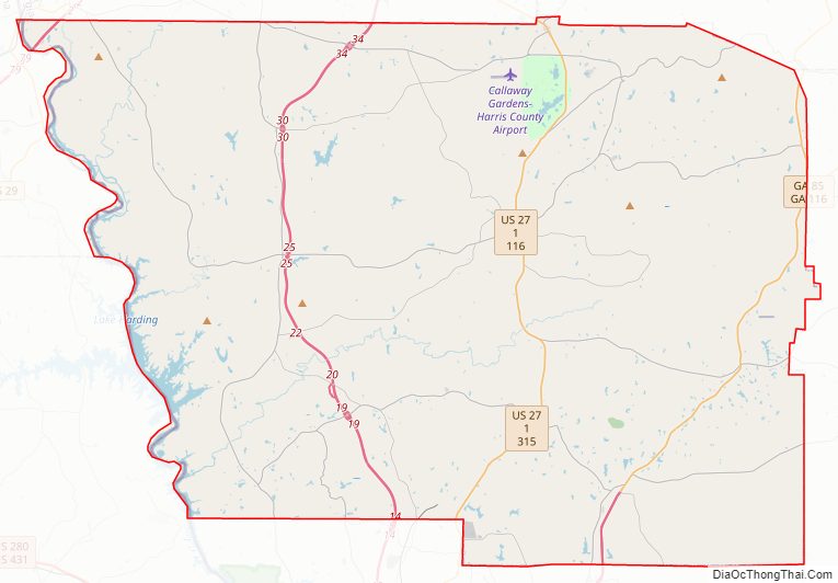
Harris County Road Map
Geography
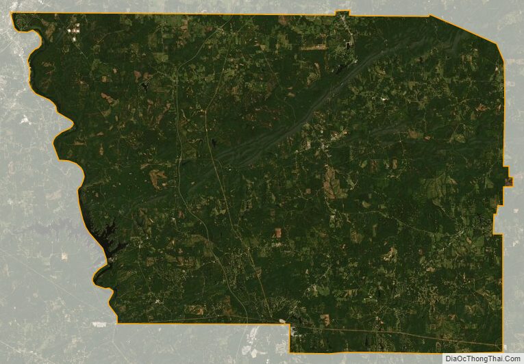
According to the U.S. Census Bureau, the county has a total area of 473 square miles (1,230 km), of which 464 square miles (1,200 km) are land and 9.1 square miles (24 km) (1.9%) are covered by water.
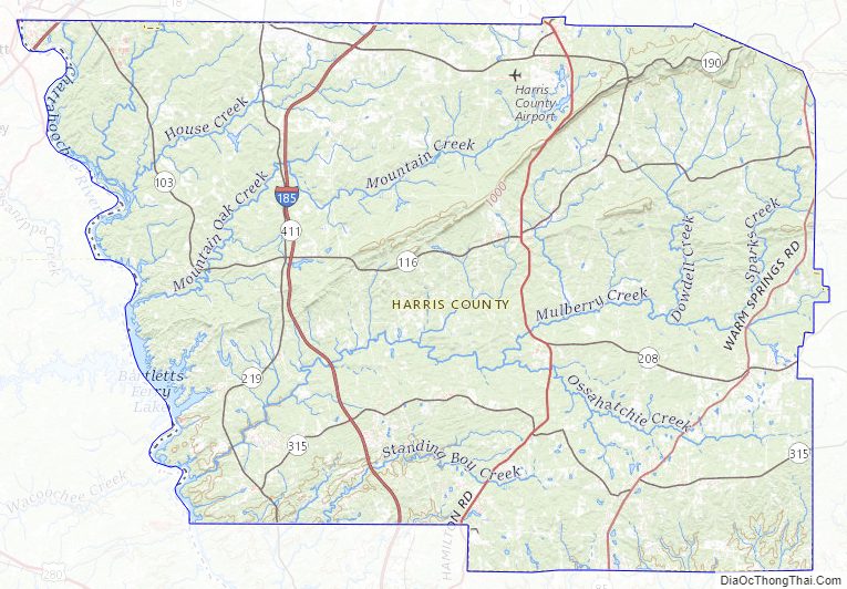
The county is located in the Piedmont region of the state, with forests, farmland, and rolling hills covering much of the county. The Pine Mountain Range begins in the county, and runs across the northernmost parts of the county, with the highest point on the range found at Dowdell’s Knob near the Meriwether County line.
The majority of Harris County is located in the middle Chattahoochee River–Lake Harding subbasin of the ACF River Basin (Apalachicola–Chattahoochee–Flint River Basin), with the exception of the county’s southeastern border area, south of Ellerslie, which is located in the middle Chattahoochee River–Walter F. George Lake subbasin of the same ACF River Basin as that part of the county is drained by Bull Creek, which flows into Upatoi Creek south of Columbus.
Lake Harding and Goat Rock Lake both form much of the county’s western border along the Chattahoochee, and both are very popular recreational destinations, especially for metro Columbus residents.
Major highways
- Interstate 85
- Interstate 185
- U.S. Route 27
U.S. Route 27 Alternate- State Route 1
- State Route 18
- State Route 36
- State Route 85
- State Route 85 Alternate
- State Route 103
- State Route 116
- State Route 190
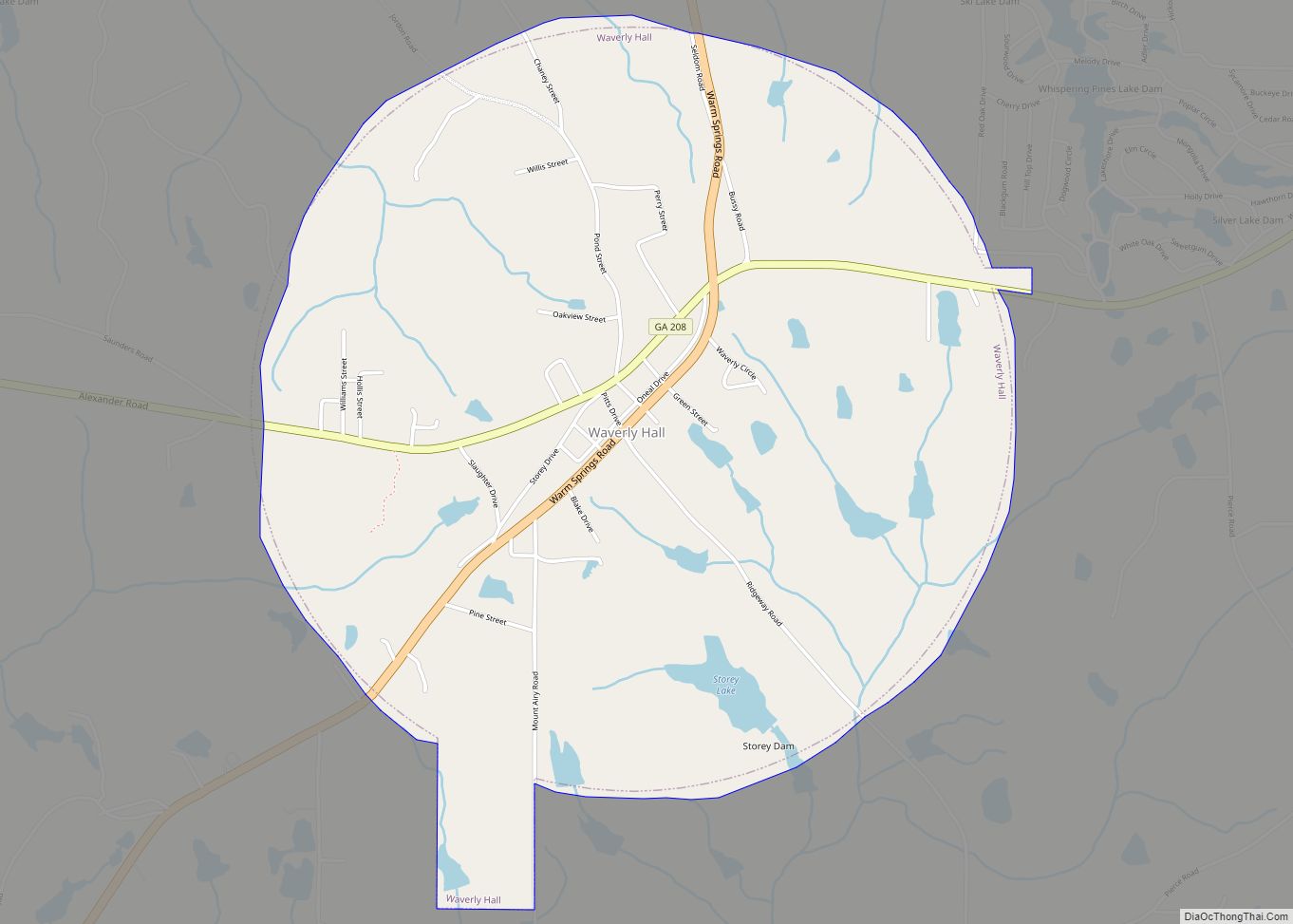
- State Route 208
- State Route 219
- State Route 315
- State Route 354
- State Route 403 (unsigned designation for I-85)
- State Route 411 (unsigned designation for I-185)
Adjacent counties
- Troup County (north)
- Meriwether County (northeast)
- Talbot County (east)
- Muscogee County (south)
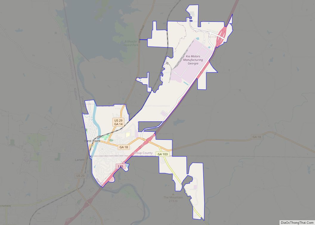
- Lee County, Alabama (southwest/CST border)
- Chambers County, Alabama (northwest/CST border except Lanett and Valley as the cities are jointed by the Columbus metropolitan area)
Harris County Topographic Map
Harris County Satellite Map
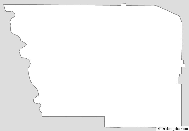
Harris County Outline Map