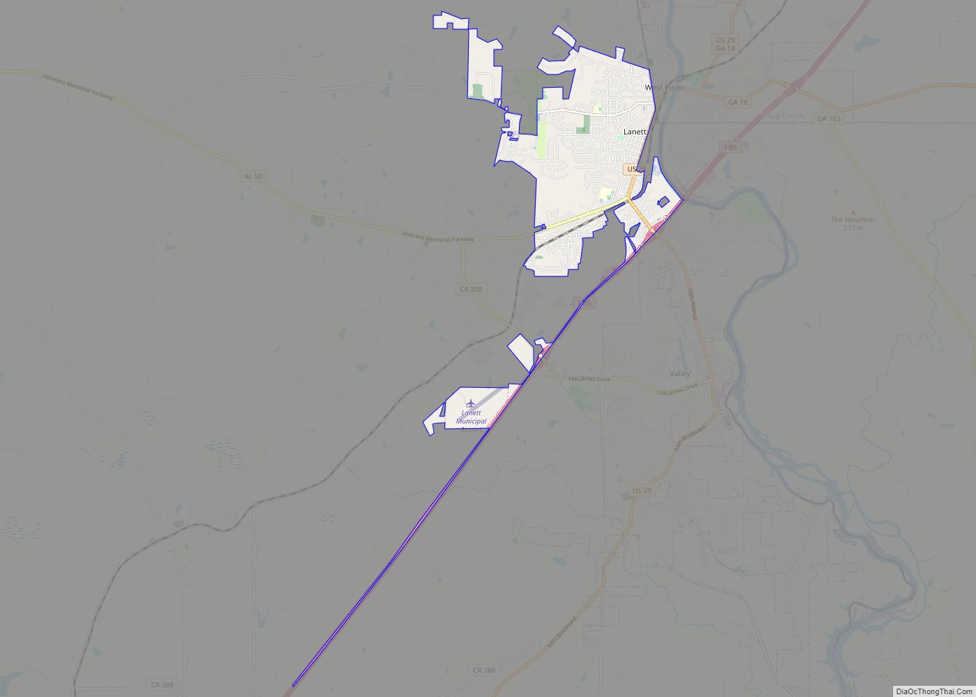
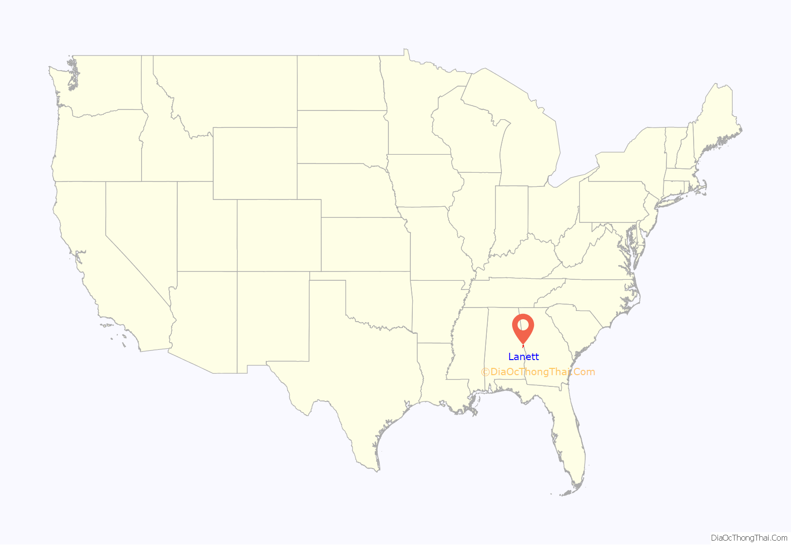
Lanett is a city in Chambers County, Alabama, United States. At the 2010 census the population was 6,468, down from 7,897 in 2000. Lanett, originally called Bluffton, is located in eastern Alabama, on the Chattahoochee River, southwest of Atlanta. The city’s name is derived from Lafayette Lanier and Theodore Bennett, founders of the West Point Manufacturing Company.
| Name: | Lanett city |
|---|---|
| LSAD Code: | 25 |
| LSAD Description: | city (suffix) |
| State: | Alabama |
| County: | Chambers County |
| Elevation: | 591 ft (180 m) |
| Total Area: | 6.24 sq mi (16.17 km²) |
| Land Area: | 6.24 sq mi (16.17 km²) |
| Water Area: | 0.00 sq mi (0.00 km²) |
| Total Population: | 6,970 |
| Population Density: | 1,116.63/sq mi (431.11/km²) |
| ZIP code: | 36863 |
| Area code: | 334 |
| FIPS code: | 0141296 |
| GNISfeature ID: | 0151988 |
| Website: | www.cityoflanett.com |
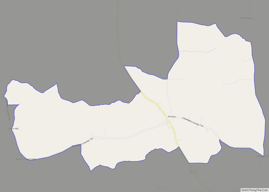
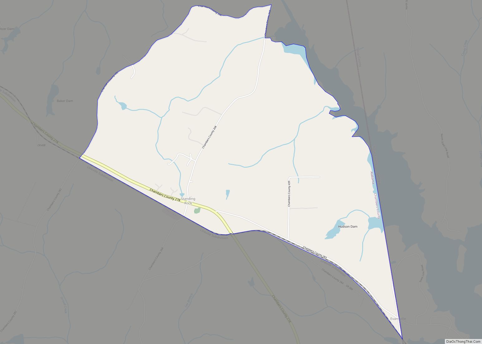
Online Interactive Map
Click on ![]() to view map in "full screen" mode.
to view map in "full screen" mode.
Lanett location map. Where is Lanett city?
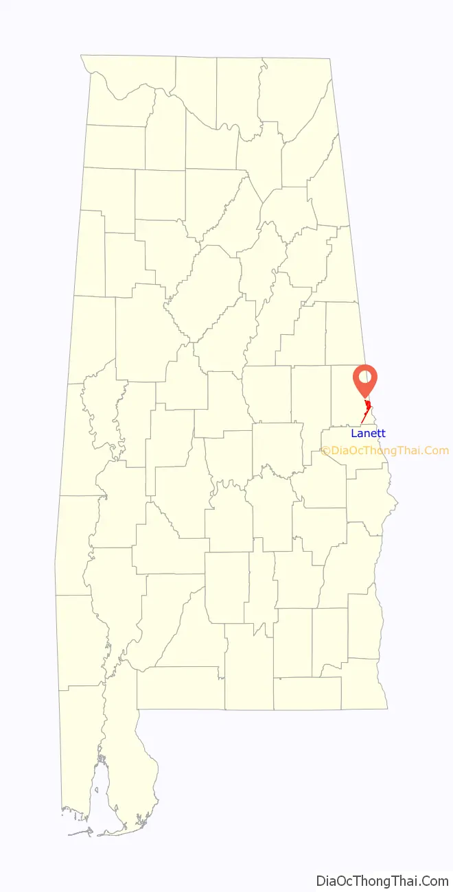
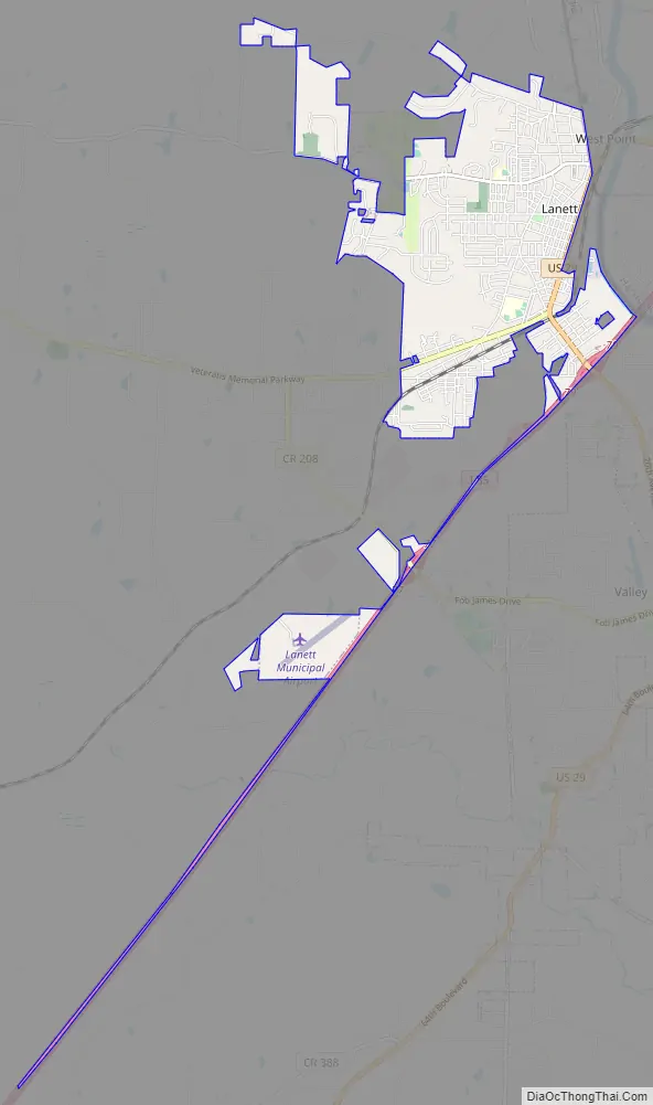
Lanett Road Map
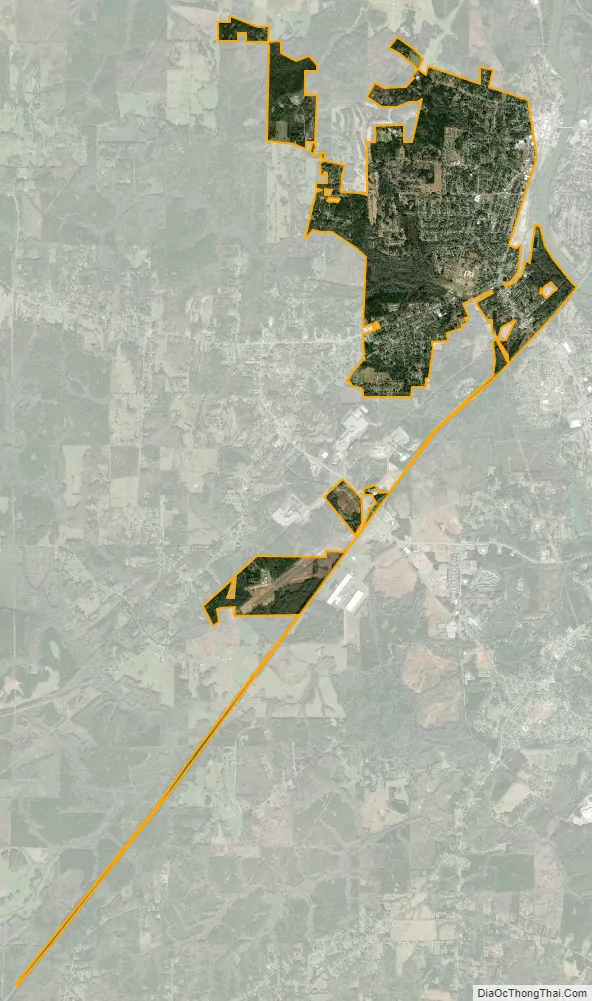
Lanett city Satellite Map
Geography
Lanett is located on the eastern edge of Chambers County at 32°51’48.326″ North, 85°11’58.862″ West (32.863424, -85.199684). Its eastern boundary is the Alabama–Georgia state line, with the town of West Point, Georgia, bordering Lanett to the east. Interstate 85 forms the southeast boundary of Lanett, with the city of Valley, Alabama, on the other side of the highway. The unincorporated community of Huguley is along Lanett’s southwest border.
The Chattahoochee River forms the state line and eastern boundary of Lanett from I-85 north to the downtown area, at which point the state line turns north-northwest and becomes a land boundary between Lanett and West Point, Georgia.
According to the U.S. Census Bureau, Lanett has a total area of 6.2 square miles (16.1 km), all land.
See also
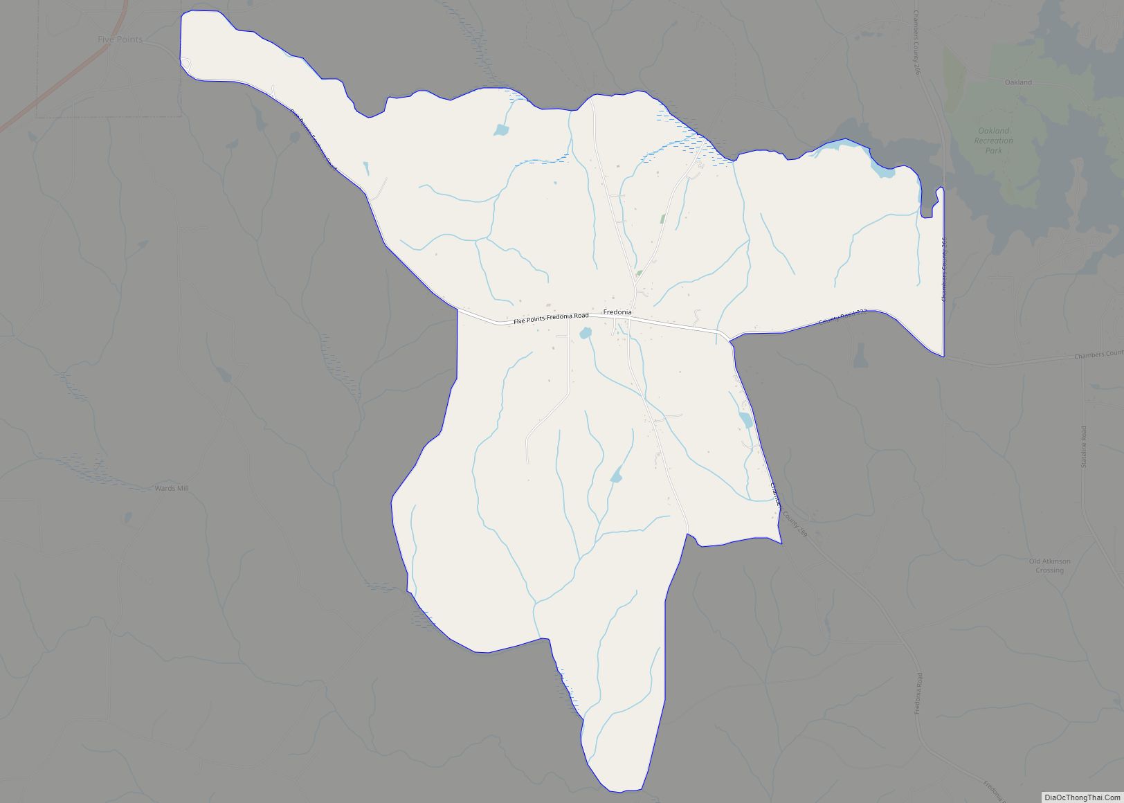
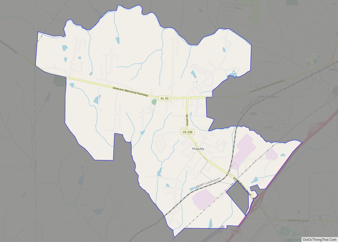
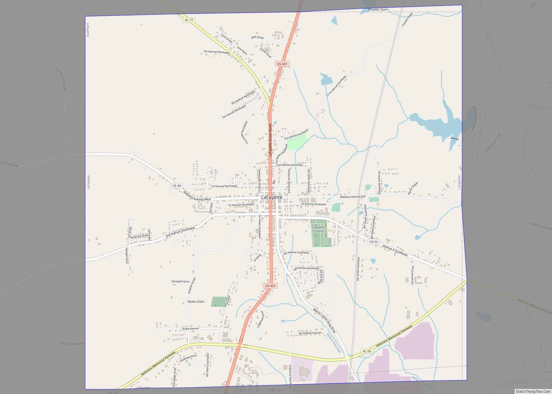
Map of Alabama State and its subdivision:- Autauga
- Baldwin
- Barbour
- Bibb
- Blount
- Bullock
- Butler
- Calhoun
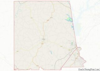
- Chambers
- Cherokee
- Chilton
- Choctaw
- Clarke
- Clay
- Cleburne
- Coffee
- Colbert
- Conecuh
- Coosa
- Covington
- Crenshaw
- Cullman
- Dale
- Dallas
- De Kalb
- Elmore
- Escambia
- Etowah
- Fayette
- Franklin
- Geneva
- Greene
- Hale
- Henry
- Houston
- Jackson
- Jefferson
- Lamar
- Lauderdale
- Lawrence
- Lee
- Limestone
- Lowndes
- Macon
- Madison
- Marengo
- Marion
- Marshall
- Mobile
- Monroe
- Montgomery
- Morgan
- Perry
- Pickens
- Pike
- Randolph
- Russell
- Saint Clair
- Shelby
- Sumter
- Talladega
- Tallapoosa
- Tuscaloosa
- Walker
- Washington
- Wilcox
- Winston
- Alabama
- Alaska
- Arizona
- Arkansas
- California
- Colorado
- Connecticut
- Delaware
- District of Columbia
- Florida
- Georgia
- Hawaii
- Idaho
- Illinois
- Indiana
- Iowa
- Kansas
- Kentucky
- Louisiana
- Maine
- Maryland
- Massachusetts
- Michigan
- Minnesota
- Mississippi
- Missouri
- Montana
- Nebraska
- Nevada
- New Hampshire
- New Jersey
- New Mexico
- New York
- North Carolina
- North Dakota
- Ohio
- Oklahoma
- Oregon
- Pennsylvania
- Rhode Island
- South Carolina
- South Dakota
- Tennessee
- Texas
- Utah
- Vermont
- Virginia
- Washington
- West Virginia
- Wisconsin
- Wyoming