Hidalgo County (Spanish: Condado de Hidalgo) is the southernmost county of the U.S. state of New Mexico. As of the 2010 census, the population was 4,894. The county seat and largest city is Lordsburg. A bill creating Hidalgo from the southern part of Grant County was passed on February 25, 1919, taking effect at the beginning of 1920. The county was named for the town north of Mexico City where the Treaty of Guadalupe Hidalgo was signed, which in turn was named for Miguel Hidalgo y Costilla, the priest who is known as the “Father of Mexican Independence.” The county is located on the Mexico–United States border.
| Name: | Hidalgo County |
|---|---|
| FIPS code: | 35-023 |
| State: | New Mexico |
| Founded: | January 1, 1920 |
| Named for: | Villa de Guadalupe Hidalgo |
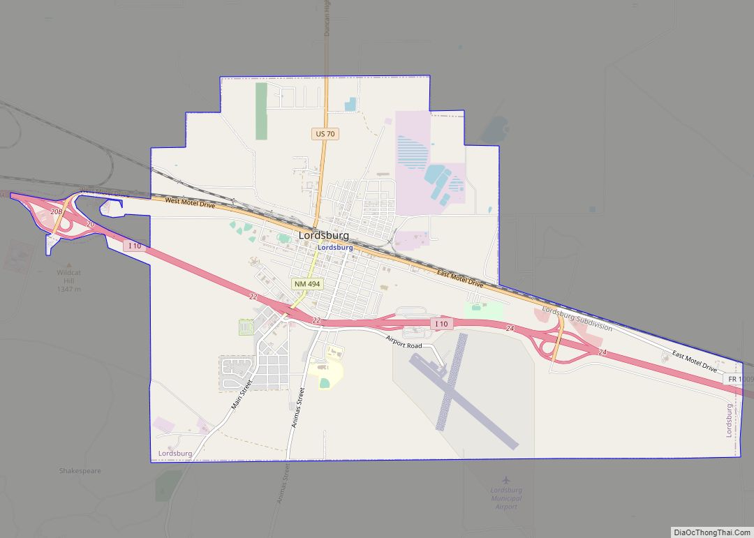
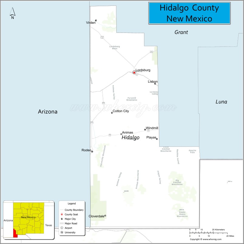
| Seat: | Lordsburg |
| Largest city: | Lordsburg |
| Total Area: | 3,446 sq mi (8,930 km²) |
| Land Area: | 3,437 sq mi (8,900 km²) |
| Total Population: | 4,074 |
| Population Density: | 1.4/sq mi (0.5/km²) |
| Time zone: | UTC−7 (Mountain) |
| Summer Time Zone (DST): | UTC−6 (MDT) |
| Website: | www.hidalgocounty.org |
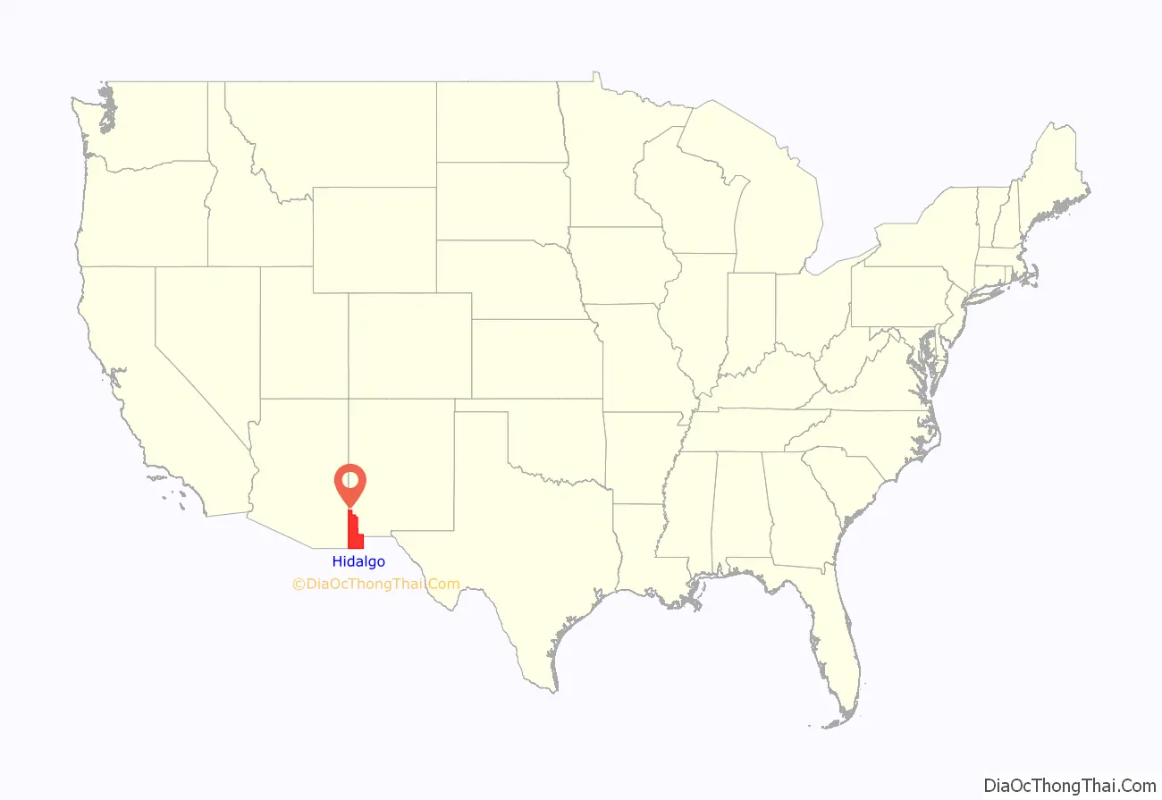
Hidalgo County location map. Where is Hidalgo County?
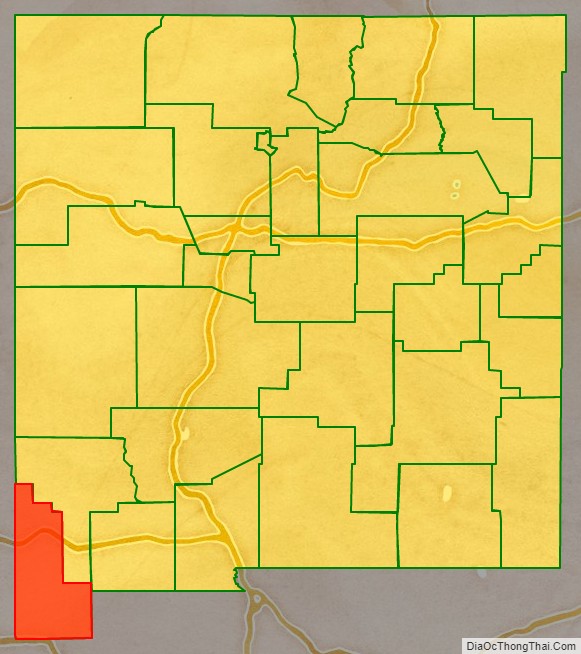
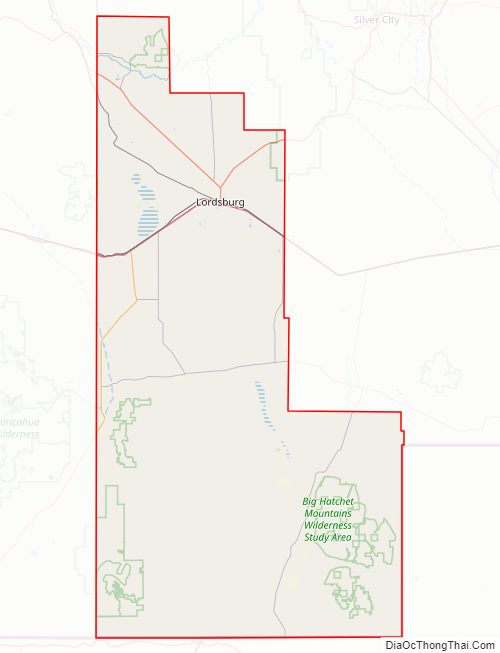
Hidalgo County Road Map
Geography
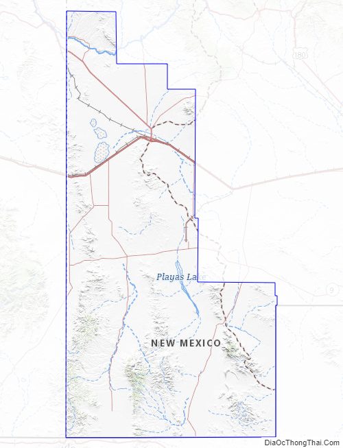
According to the U.S. Census Bureau, the county has a total area of 3,446 square miles (8,930 km), of which 3,437 square miles (8,900 km) is land and 9.1 square miles (24 km) (0.3%) is water. The southern part of the county, the part bounded on the east and south by Mexico, is known as the Bootheel.
Adjacent counties and municipios
- Grant County – north
- Luna County – east
- Cochise County, Arizona – west
- Greenlee County, Arizona – northwest
- Agua Prieta, Sonora, Mexico – south
- Ascensión, Chihuahua, Mexico – southeast
- Janos, Chihuahua, Mexico – south
National protected areas
- Coronado National Forest (part)
- Gila National Forest (part)
Hidalgo County Topographic Map
Hidalgo County Satellite Map

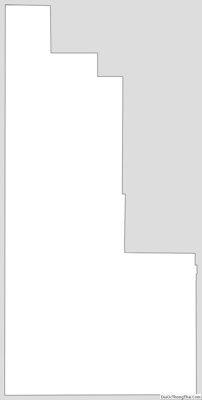
Hidalgo County Outline Map