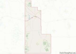
Animas is an unincorporated community and census-designated place (CDP) in west-central Hidalgo County, New Mexico, United States, in the southwestern corner of the state. As of the 2010 census it had a population of 237.
It lies at the intersection of State Roads 9 and 338, at an elevation of 4,406 feet (1,343 m) approximately 30 miles (48 km) south of the city of Lordsburg, the county seat. Although Animas is unincorporated, it has a post office, which opened in 1909, with the ZIP code of 88020.
| Name: | Animas CDP |
|---|---|
| LSAD Code: | 57 |
| LSAD Description: | CDP (suffix) |
| State: | New Mexico |
| County: | Hidalgo County |
| Elevation: | 4,406 ft (1,343 m) |
| Total Area: | 15.66 sq mi (40.57 km²) |
| Land Area: | 15.66 sq mi (40.57 km²) |
| Water Area: | 0.00 sq mi (0.00 km²) |
| Total Population: | 180 |
| Population Density: | 11.49/sq mi (4.44/km²) |
| ZIP code: | 88020 |
| Area code: | 575 |
| FIPS code: | 3503750 |
| GNISfeature ID: | 0885759 |
Online Interactive Map
Click on ![]() to view map in "full screen" mode.
to view map in "full screen" mode.
Animas location map. Where is Animas CDP?


History
Founded circa 1753 by the Spanish, Animas became part of the newly independent country of Mexico in 1821. Unlike most of New Mexico, Animas was not part of the Mexican Cession after the Mexican–American War ended; it is located in the area sold to the United States with the Gadsden Purchase of 1853.
Animas Road Map

Animas city Satellite Map

Geography
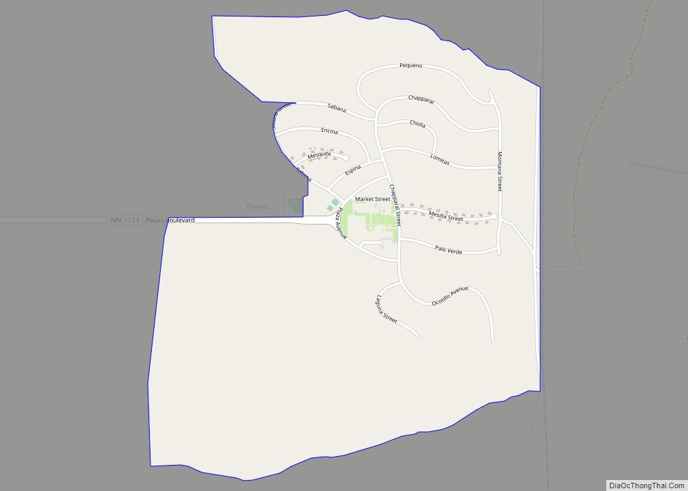
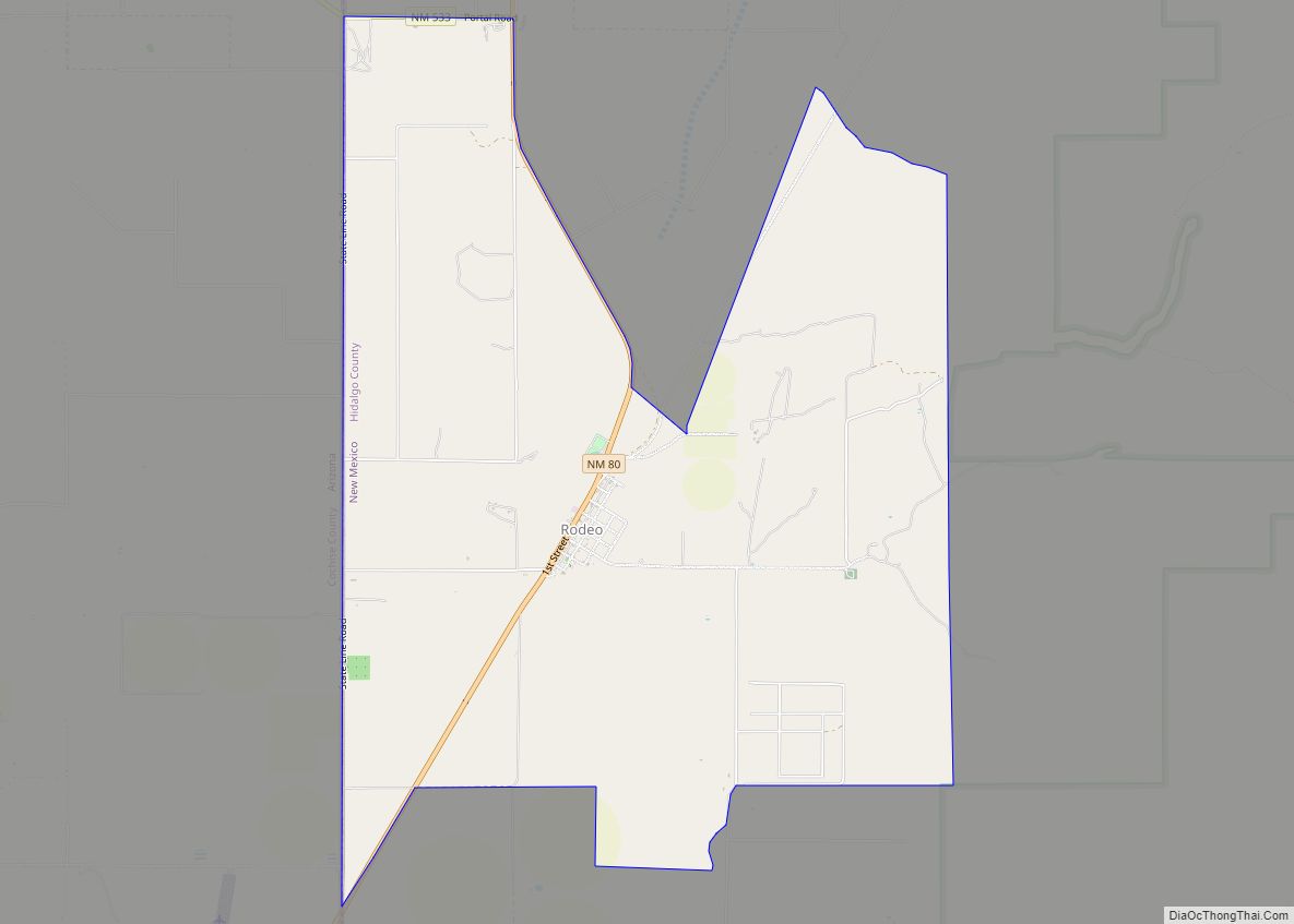
Animas is an isolated ranching community. It is located in the valley bounded by the Peloncillo Mountains on the west and the Pyramid Mountains and Animas Mountains on the east. It is situated just west of the Continental Divide and is approximately 30 miles (48 km) south of Lordsburg, the nearest significant population center. Smaller communities closer to Animas include Cotton City, Playas, and Rodeo. Animas lies in a region rich in Native American history—twenty-one different archeological sites in the Animas area are listed on the National Register of Historic Places.
According to the U.S. Census Bureau, the Animas census-designated place has an area of 15.7 square miles (40.6 km), all land.
Climate
Animas has a cool semi-arid climate (Köppen BSk) with hot summers and mild winters.
See also
Map of New Mexico State and its subdivision: Map of other states:- Alabama
- Alaska
- Arizona
- Arkansas
- California
- Colorado
- Connecticut
- Delaware
- District of Columbia
- Florida
- Georgia
- Hawaii
- Idaho
- Illinois
- Indiana
- Iowa
- Kansas
- Kentucky
- Louisiana
- Maine
- Maryland
- Massachusetts
- Michigan
- Minnesota
- Mississippi
- Missouri
- Montana
- Nebraska
- Nevada
- New Hampshire
- New Jersey
- New Mexico
- New York
- North Carolina
- North Dakota
- Ohio
- Oklahoma
- Oregon
- Pennsylvania
- Rhode Island
- South Carolina
- South Dakota
- Tennessee
- Texas
- Utah
- Vermont
- Virginia
- Washington
- West Virginia
- Wisconsin
- Wyoming