Iowa County is a county located in the U.S. state of Iowa. As of the 2020 census, the population was 16,662. The county seat is Marengo.
Iowa County is one of seven counties in the United States to share the same name as the state they are located in. The other six counties are Arkansas County, Hawaii County, Idaho County, New York County, Oklahoma County, and Utah County.
| Name: | Iowa County |
|---|---|
| FIPS code: | 19-095 |
| State: | Iowa |
| Founded: | 1843 |
| Named for: | Iowa River |
| Seat: | Marengo |
| Largest city: | Williamsburg |
| Total Area: | 587 sq mi (1,520 km²) |
| Land Area: | 586 sq mi (1,520 km²) |
| Total Population: | 16,662 |
| Population Density: | 28/sq mi (11/km²) |
| Time zone: | UTC−6 (Central) |
| Summer Time Zone (DST): | UTC−5 (CDT) |
| Website: | iowacounty.iowa.gov |
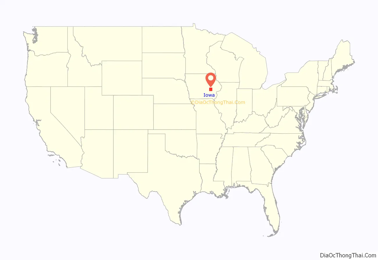
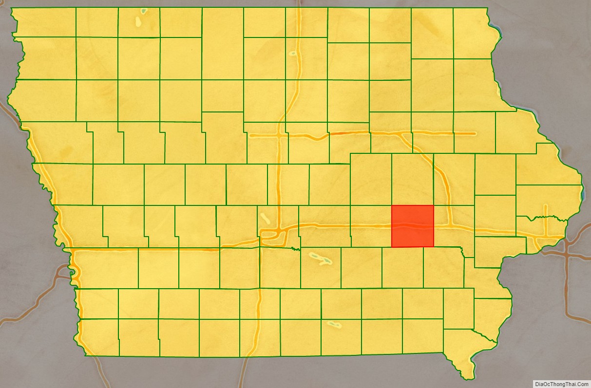
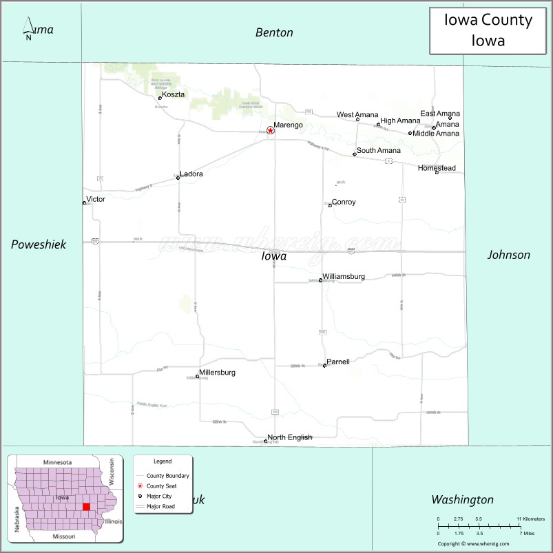
Iowa County location map. Where is Iowa County?
History
Iowa County was formed on February 17, 1843. It was named for the Iowa River, which flows through the county.
The first courthouse was a log cabin built in 1847. This was rented by the county until 1850 when a second courthouse was completed. In 1861 construction of a third courthouse was begun. The current courthouse was built in 1892 after the county had outgrown the previous one.
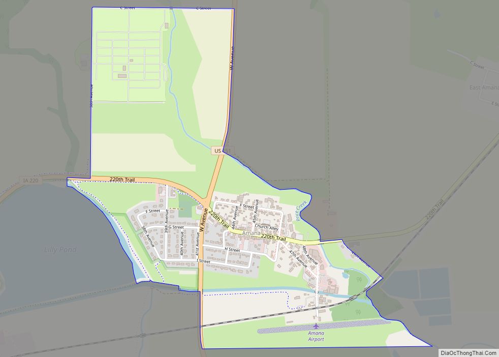
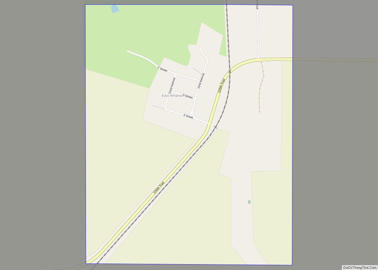
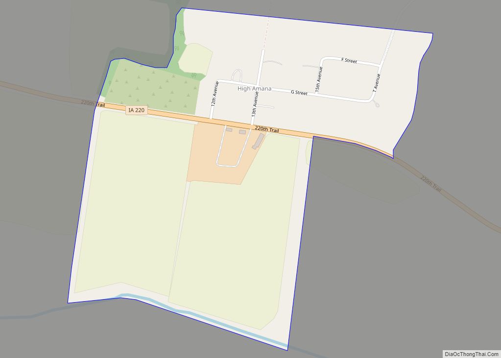
Iowa County is home to the Amana Colonies, a group of settlements of German Pietists, comprising seven villages. Calling themselves the Ebenezer Society or the Community of True Inspiration (German: die Gemeinde der wahren Inspiration), they first settled in New York state near Buffalo in what is now West Seneca. However, in order to live out their beliefs in more isolated surroundings they moved west, to Iowa County in 1855, living a communal life until the mid-1930s. Today, Amana is a major tourist attraction known mainly for its restaurants and craft shops, and the colonies as a whole have been listed as a National Historic Landmark since 1965.
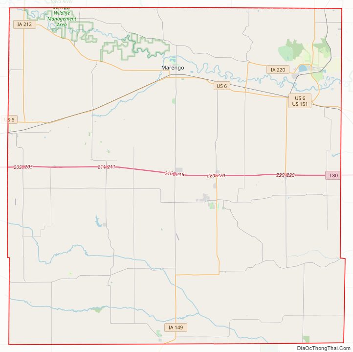
Iowa County Road Map
Geography
According to the U.S. Census Bureau, the county has a total area of 587 square miles (1,520 km), of which 586 square miles (1,520 km) is land and 1.0 square mile (2.6 km) (0.2%) is water.
The county is intersected by the Iowa River and the north fork of the English River.
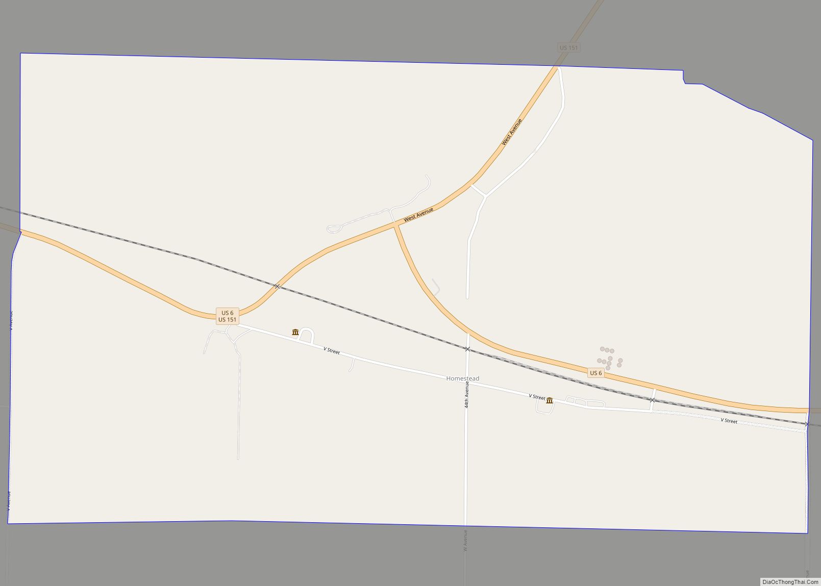
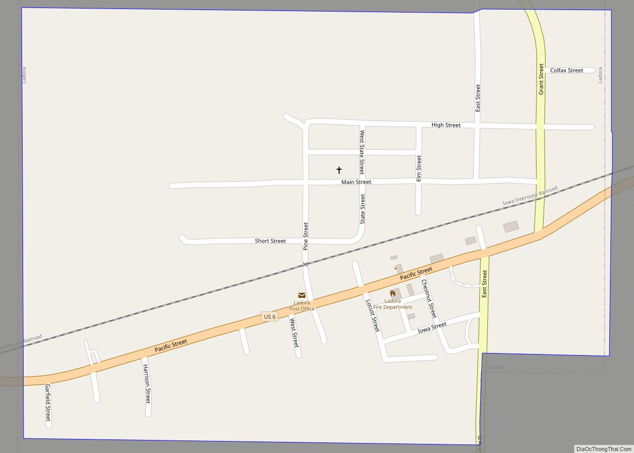
Major highways
- Interstate 80
- U.S. Highway 6
- U.S. Highway 151
- Iowa Highway 21
- Iowa Highway 149
- Iowa Highway 220
- Iowa Highway 212
Adjacent counties
- Benton County (north)
- Linn County (northeast)
- Johnson County (east)
- Washington County (southeast)
- Keokuk County (south)
- Poweshiek County (west)
- Tama County (northwest)
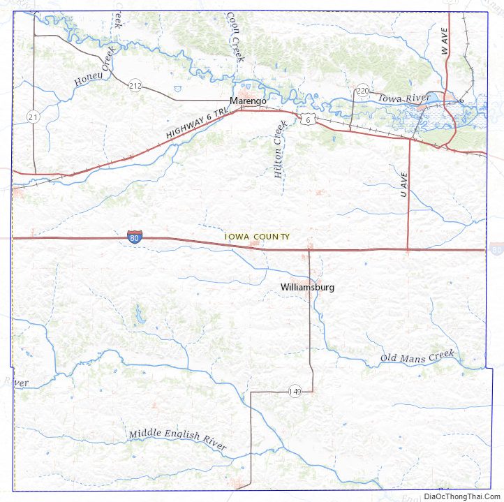
Iowa County Topographic Map
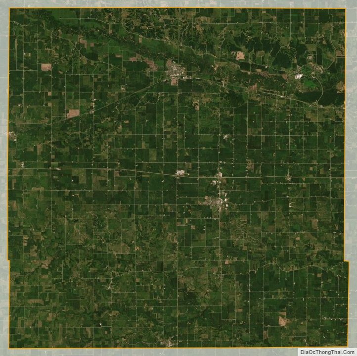
Iowa County Satellite Map
Iowa County Outline Map