Marengo is a town in and the county seat of Iowa County, Iowa, United States. It has served as the county seat since August 1845, even though it was not incorporated until July 1859. The population was 2,435 in the 2020 census, a decline from 2,535 in 2000.
| Name: | Marengo city |
|---|---|
| LSAD Code: | 25 |
| LSAD Description: | city (suffix) |
| State: | Iowa |
| County: | Iowa County |
| Elevation: | 738 ft (225 m) |
| Total Area: | 2.18 sq mi (5.64 km²) |
| Land Area: | 2.12 sq mi (5.48 km²) |
| Water Area: | 0.06 sq mi (0.16 km²) |
| Total Population: | 2,435 |
| Population Density: | 1,151.30/sq mi (444.47/km²) |
| ZIP code: | 52301 |
| Area code: | 319 |
| FIPS code: | 1949395 |
| GNISfeature ID: | 0458801 |
| Website: | www.marengoiowa.com |
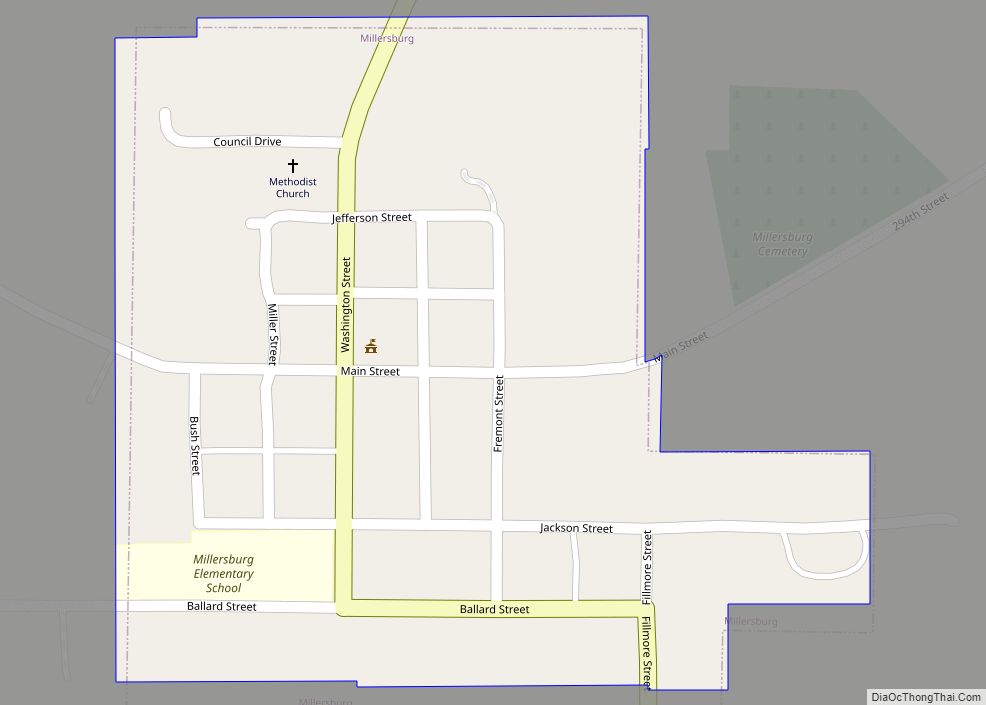
Online Interactive Map
Click on ![]() to view map in "full screen" mode.
to view map in "full screen" mode.
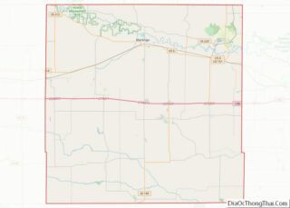
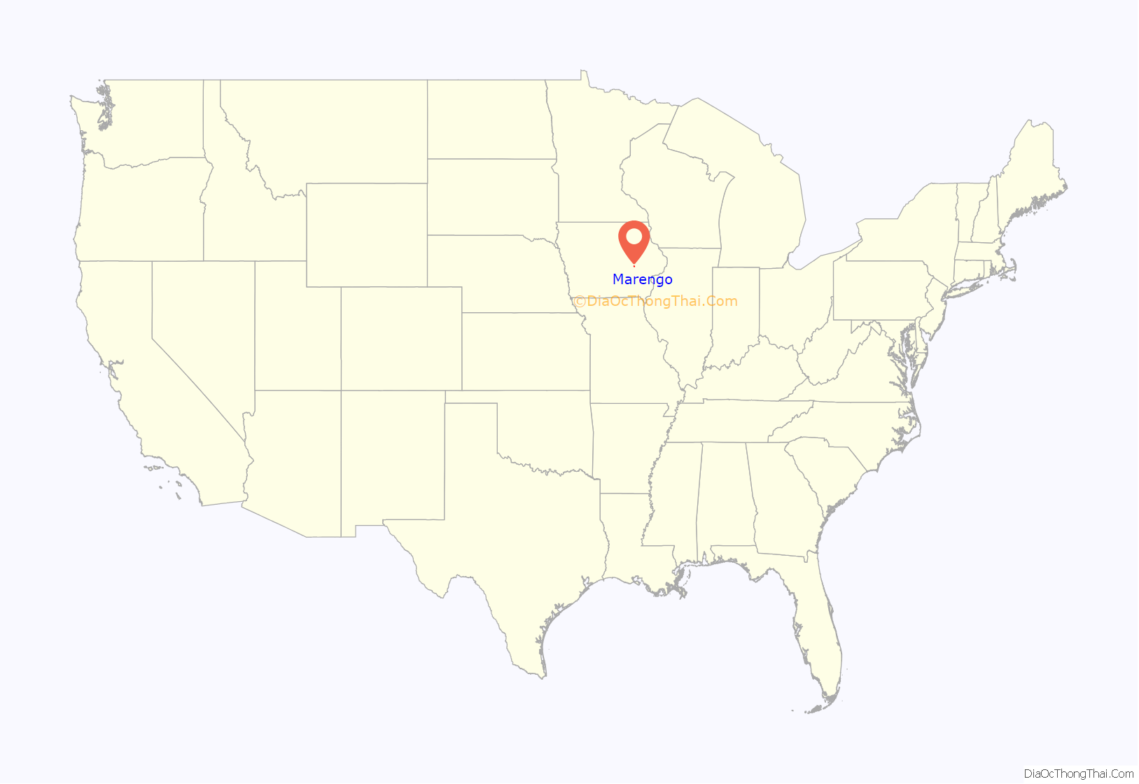
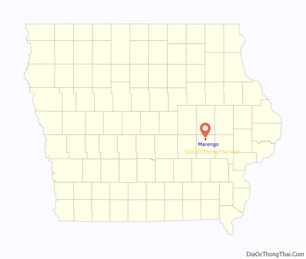
Marengo location map. Where is Marengo city?
History
Marengo was laid out in 1845 and platted in 1847. The city’s name commemorates the Battle of Marengo, where Napoleon defeated the Austrian army.
The Iowa County Courthouse, built in 1893, is on the National Register of Historic Places.
Underground Railroad
In 1859, abolitionist John Brown led a group of escaped slaves from Missouri to Michigan. On February 20, the group stayed at the Draper B. Reynolds Farm 1.5 miles south of Marengo.
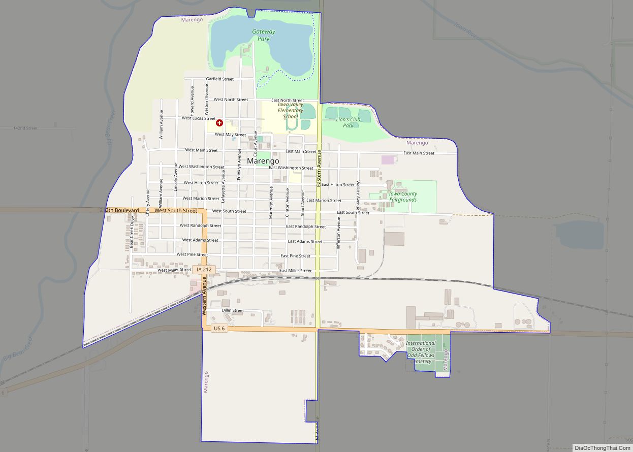
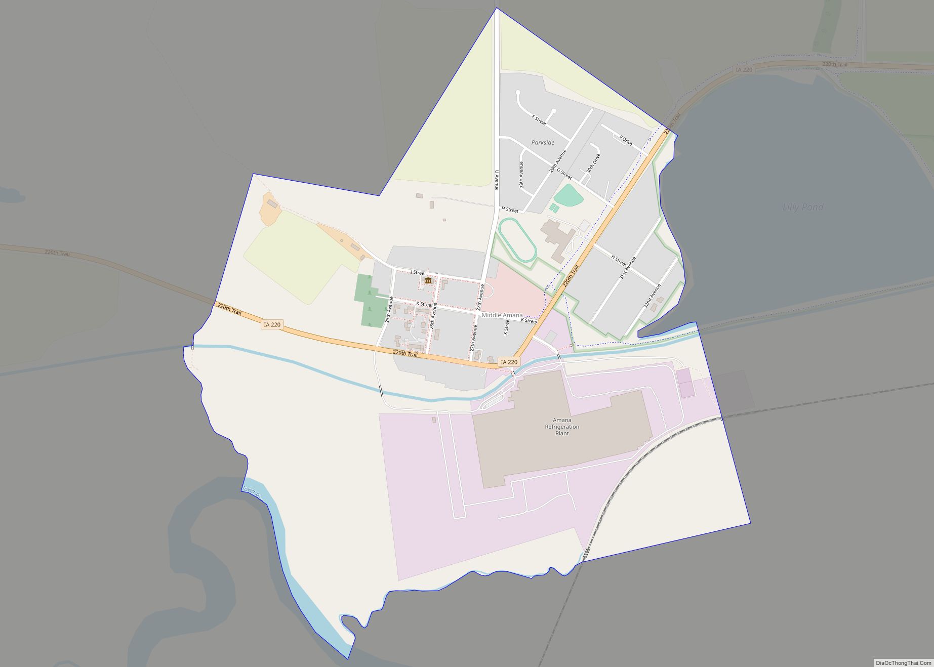
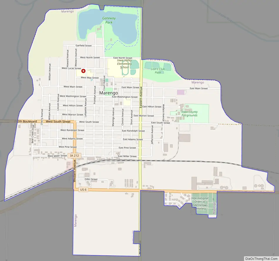
Marengo Road Map
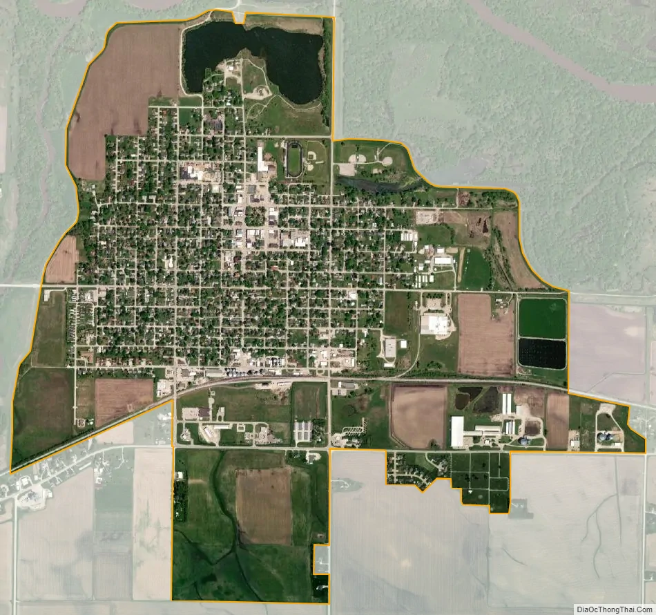
Marengo city Satellite Map
Geography
According to the United States Census Bureau, the city has a total area of 2.14 square miles (5.54 km), of which 2.08 square miles (5.39 km) is land and 0.06 square miles (0.16 km) is water.
The Iowa River passes north of town.
See also
Map of Iowa State and its subdivision:- Adair
- Adams
- Allamakee
- Appanoose
- Audubon
- Benton
- Black Hawk
- Boone
- Bremer
- Buchanan
- Buena Vista
- Butler
- Calhoun
- Carroll
- Cass
- Cedar
- Cerro Gordo
- Cherokee
- Chickasaw
- Clarke
- Clay
- Clayton
- Clinton
- Crawford
- Dallas
- Davis
- Decatur
- Delaware
- Des Moines
- Dickinson
- Dubuque
- Emmet
- Fayette
- Floyd
- Franklin
- Fremont
- Greene
- Grundy
- Guthrie
- Hamilton
- Hancock
- Hardin
- Harrison
- Henry
- Howard
- Humboldt
- Ida
- Iowa
- Jackson
- Jasper
- Jefferson
- Johnson
- Jones
- Keokuk
- Kossuth
- Lee
- Linn
- Louisa
- Lucas
- Lyon
- Madison
- Mahaska
- Marion
- Marshall
- Mills
- Mitchell
- Monona
- Monroe
- Montgomery
- Muscatine
- O'Brien
- Osceola
- Page
- Palo Alto
- Plymouth
- Pocahontas
- Polk
- Pottawattamie
- Poweshiek
- Ringgold
- Sac
- Scott
- Shelby
- Sioux
- Story
- Tama
- Taylor
- Union
- Van Buren
- Wapello
- Warren
- Washington
- Wayne
- Webster
- Winnebago
- Winneshiek
- Woodbury
- Worth
- Wright
- Alabama
- Alaska
- Arizona
- Arkansas
- California
- Colorado
- Connecticut
- Delaware
- District of Columbia
- Florida
- Georgia
- Hawaii
- Idaho
- Illinois
- Indiana
- Iowa
- Kansas
- Kentucky
- Louisiana
- Maine
- Maryland
- Massachusetts
- Michigan
- Minnesota
- Mississippi
- Missouri
- Montana
- Nebraska
- Nevada
- New Hampshire
- New Jersey
- New Mexico
- New York
- North Carolina
- North Dakota
- Ohio
- Oklahoma
- Oregon
- Pennsylvania
- Rhode Island
- South Carolina
- South Dakota
- Tennessee
- Texas
- Utah
- Vermont
- Virginia
- Washington
- West Virginia
- Wisconsin
- Wyoming