Iron County is a county located in the Lead Belt region in the U.S. state of Missouri. As of the 2020 census, the population was 9,537. The largest city and county seat is Ironton. Iron County was officially organized on February 17, 1857, and was named after the abundance of iron ore found within its borders.
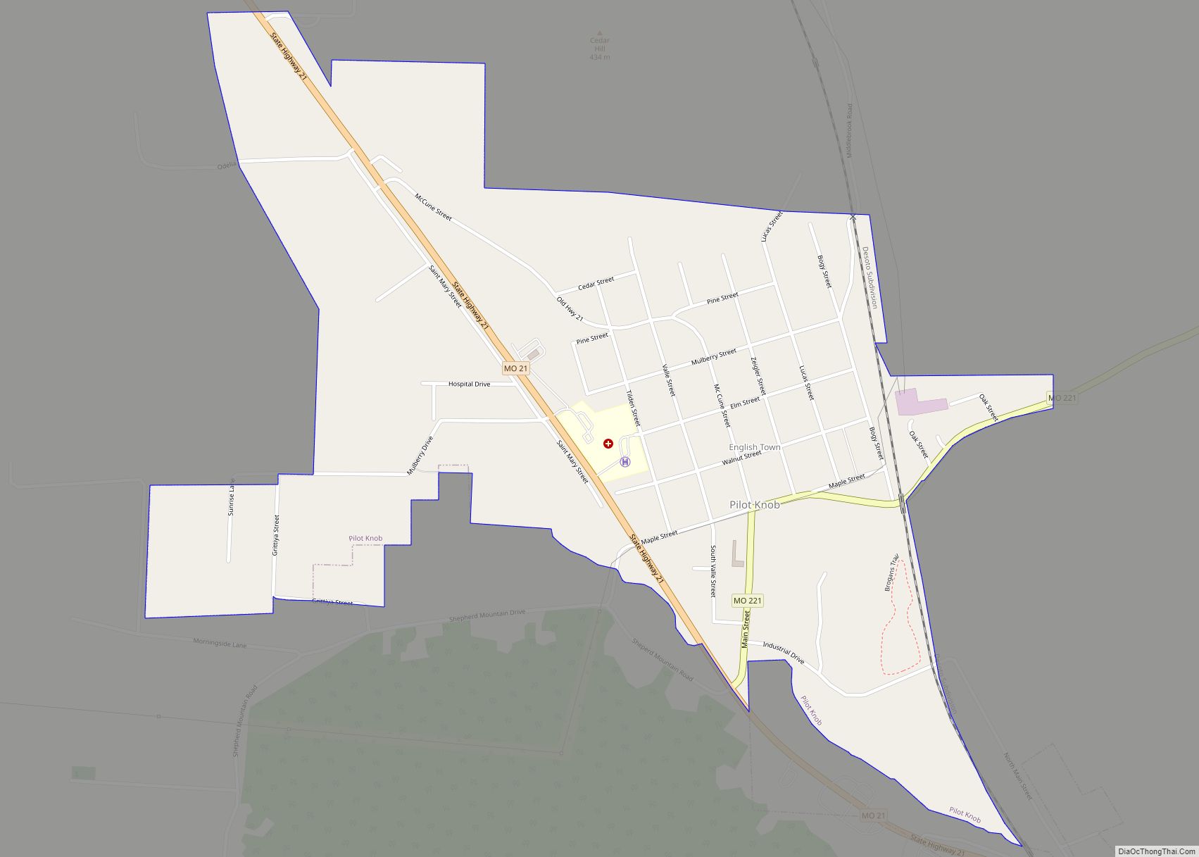
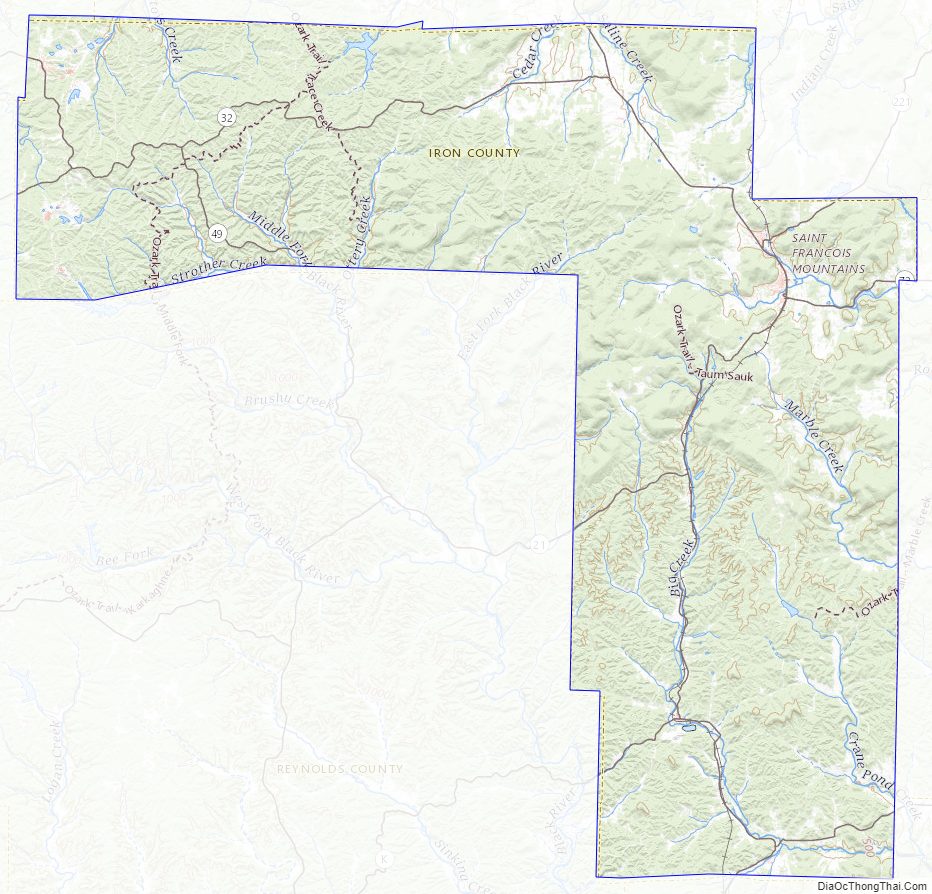
Iron County includes the 6-mile (9.7 km)-long, 2-mile (3.2 km)-wide Arcadia Valley, the site of Pilot Knob, Ironton, and Arcadia, communities established by immigrants in the 19th Century. The valley is surrounded by the Saint Francois Mountains of the Ozarks Plateau. Iron County is also home to dozens of mountains, including the 1,772-foot (540 m) Taum Sauk Mountain, the highest point in Missouri.
The county is home to a number of state parks and historical sites including Taum Sauk Mountain State Park, Elephant Rocks State Park and Fort Davidson State Historic Site as well as 96,047 acres (390 km) of Mark Twain National Forest.
| Name: | Iron County |
|---|---|
| FIPS code: | 29-093 |
| State: | Missouri |
| Founded: | February 17, 1857 |
| Named for: | Iron ore |
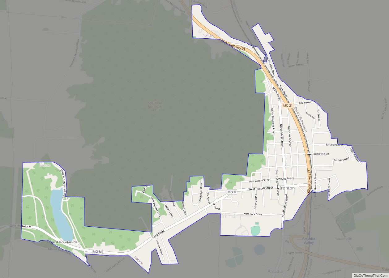
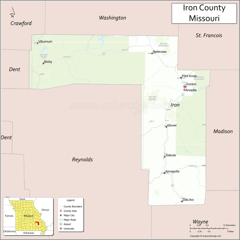
| Seat: | Ironton |
| Largest city: | Ironton |
| Total Area: | 552 sq mi (1,430 km²) |
| Land Area: | 550 sq mi (1,400 km²) |
| Total Population: | 9,537 |
| Population Density: | 17/sq mi (6.7/km²) |
| Time zone: | UTC−6 (Central) |
| Summer Time Zone (DST): | UTC−5 (CDT) |
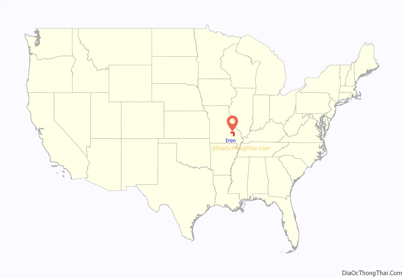
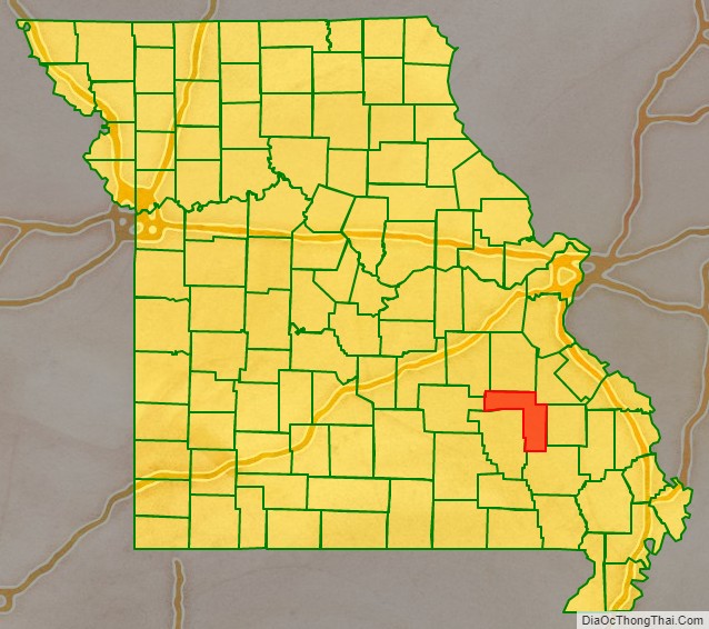
Iron County location map. Where is Iron County?
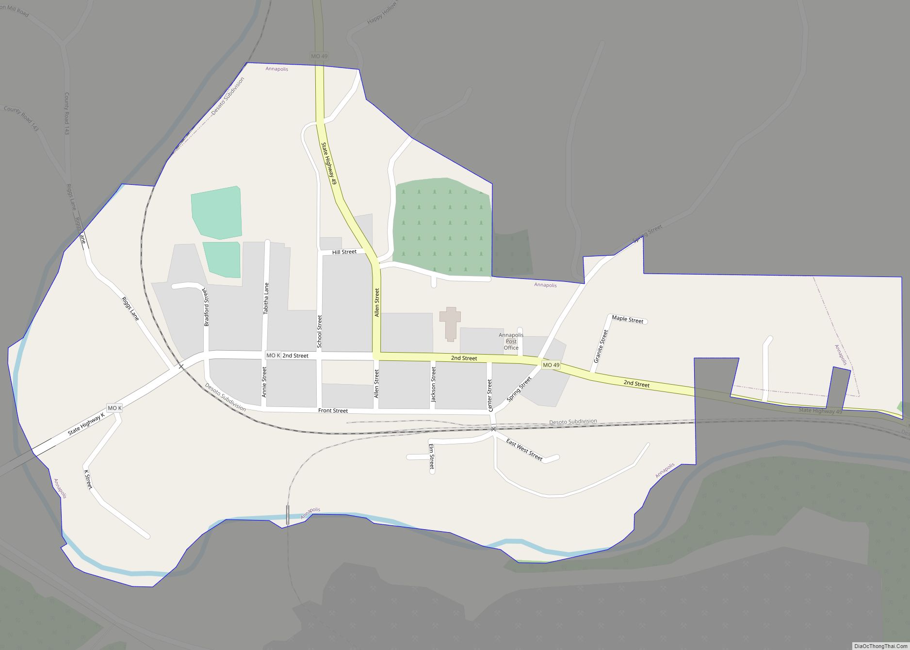
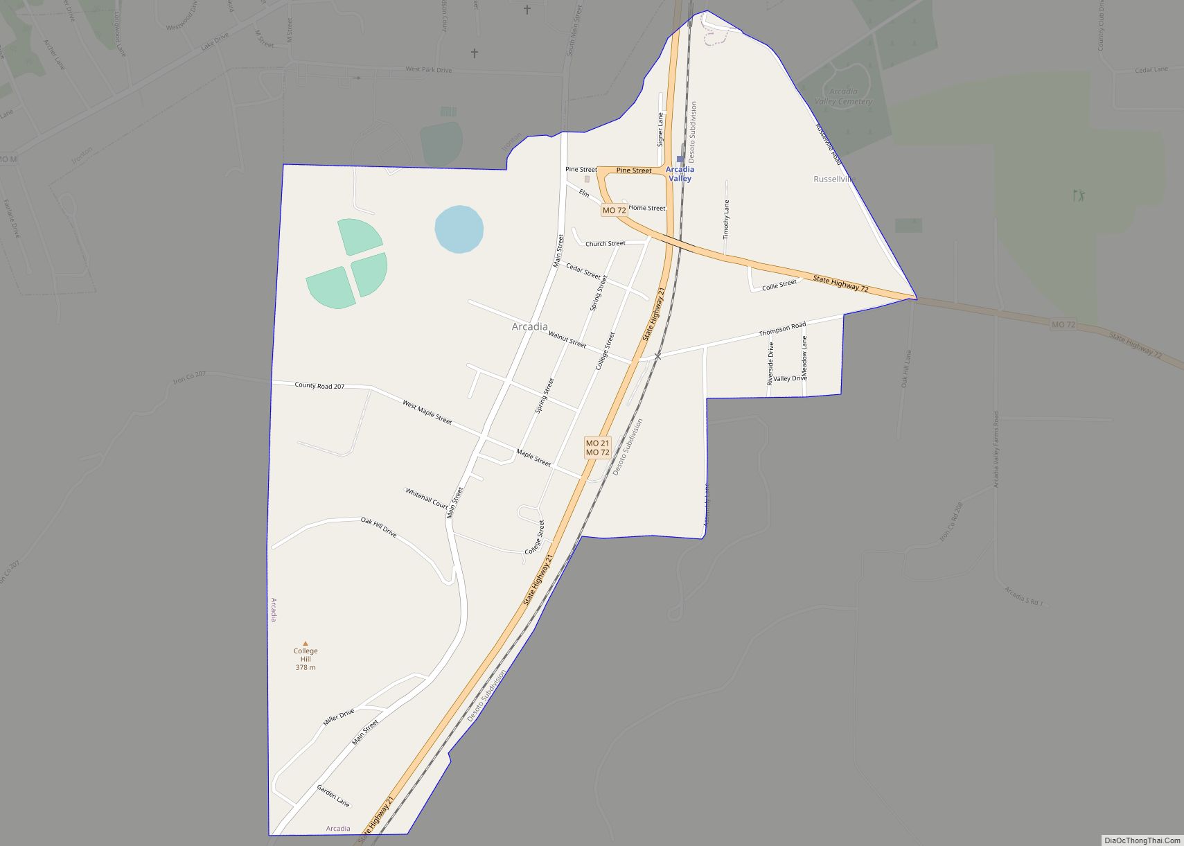
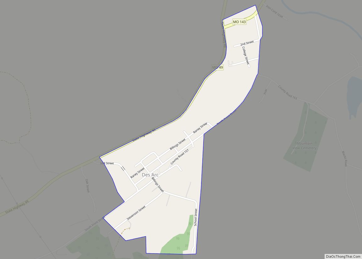
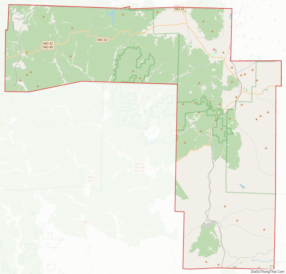
Iron County Road Map
Geography
According to the U.S. Census Bureau, the county has a total area of 552 square miles (1,430 km), of which 550 square miles (1,400 km) is land and 1.8 square miles (4.7 km) (0.3%) is water.
Adjacent counties
- Washington County (north)
- St. Francois County (northeast)
- Madison County (east)
- Wayne County (southeast)
- Reynolds County (southwest)
- Dent County (west)
- Crawford County (northwest)
National protected areas
- Mark Twain National Forest (part)
- Pilot Knob National Wildlife Refuge
Iron County Topographic Map
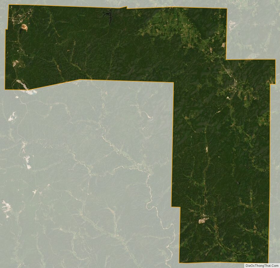
Iron County Satellite Map
Iron County Outline Map